


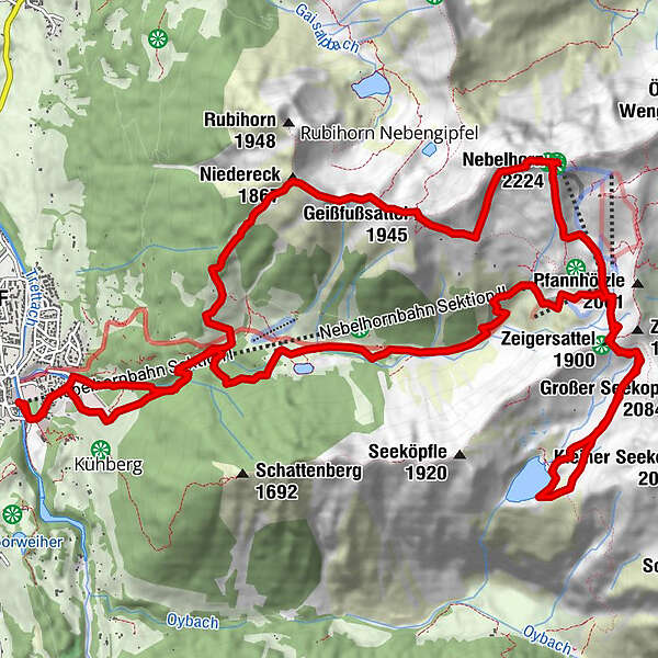
Dati percorsi
21km
825
- 2.224m
2.154hm
2.154hm
09:00h
- Descrizione rapida
-
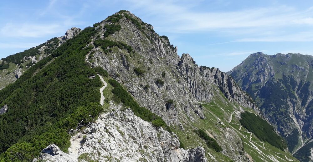
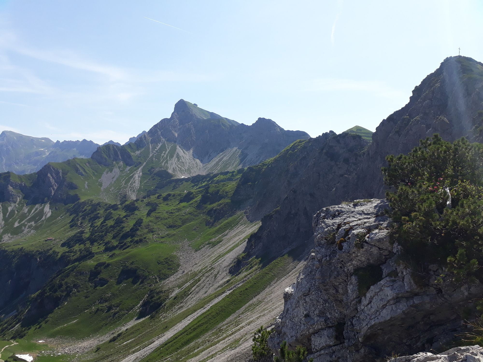
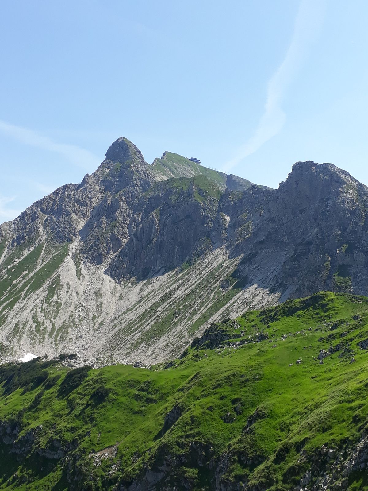
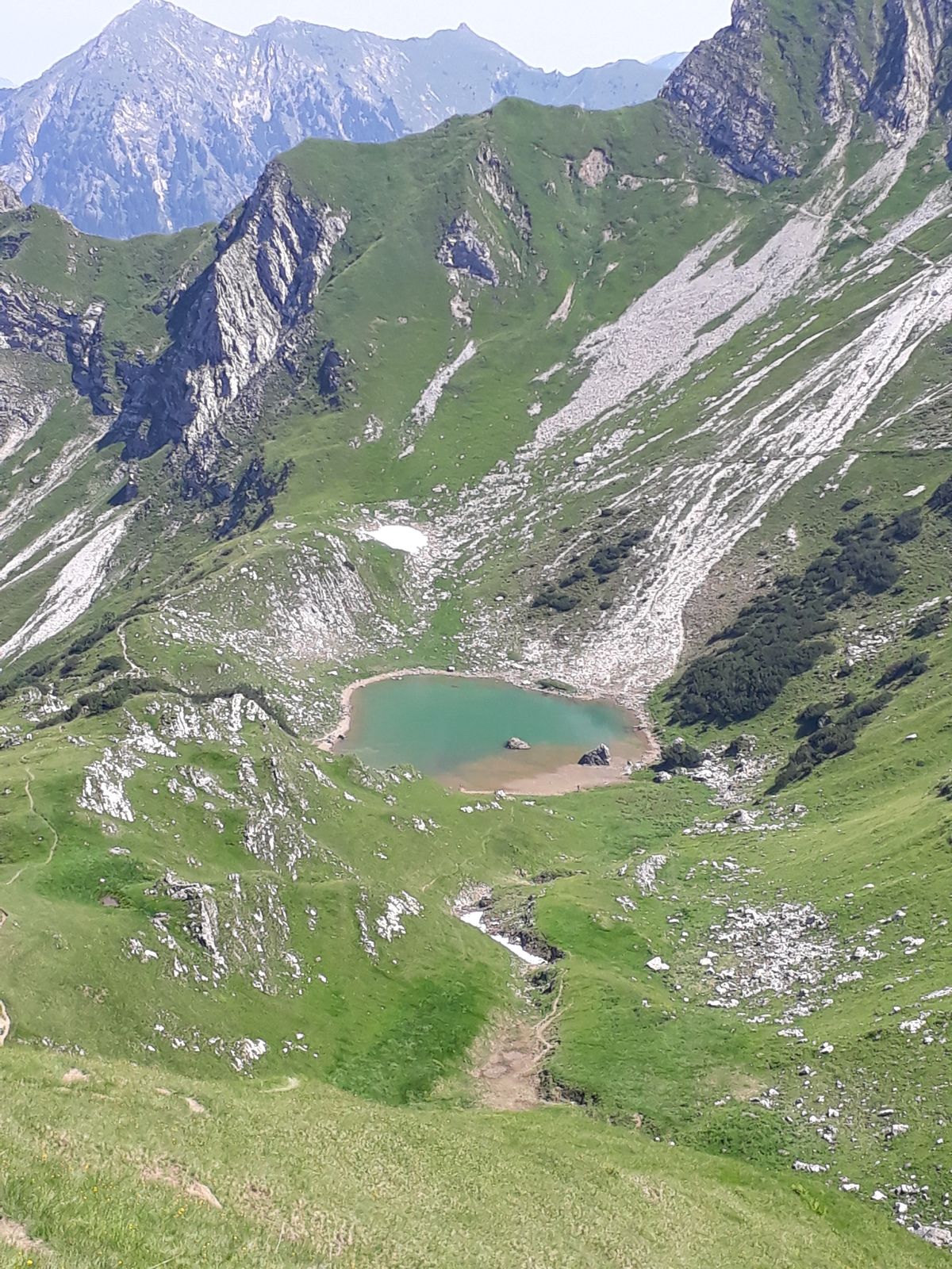
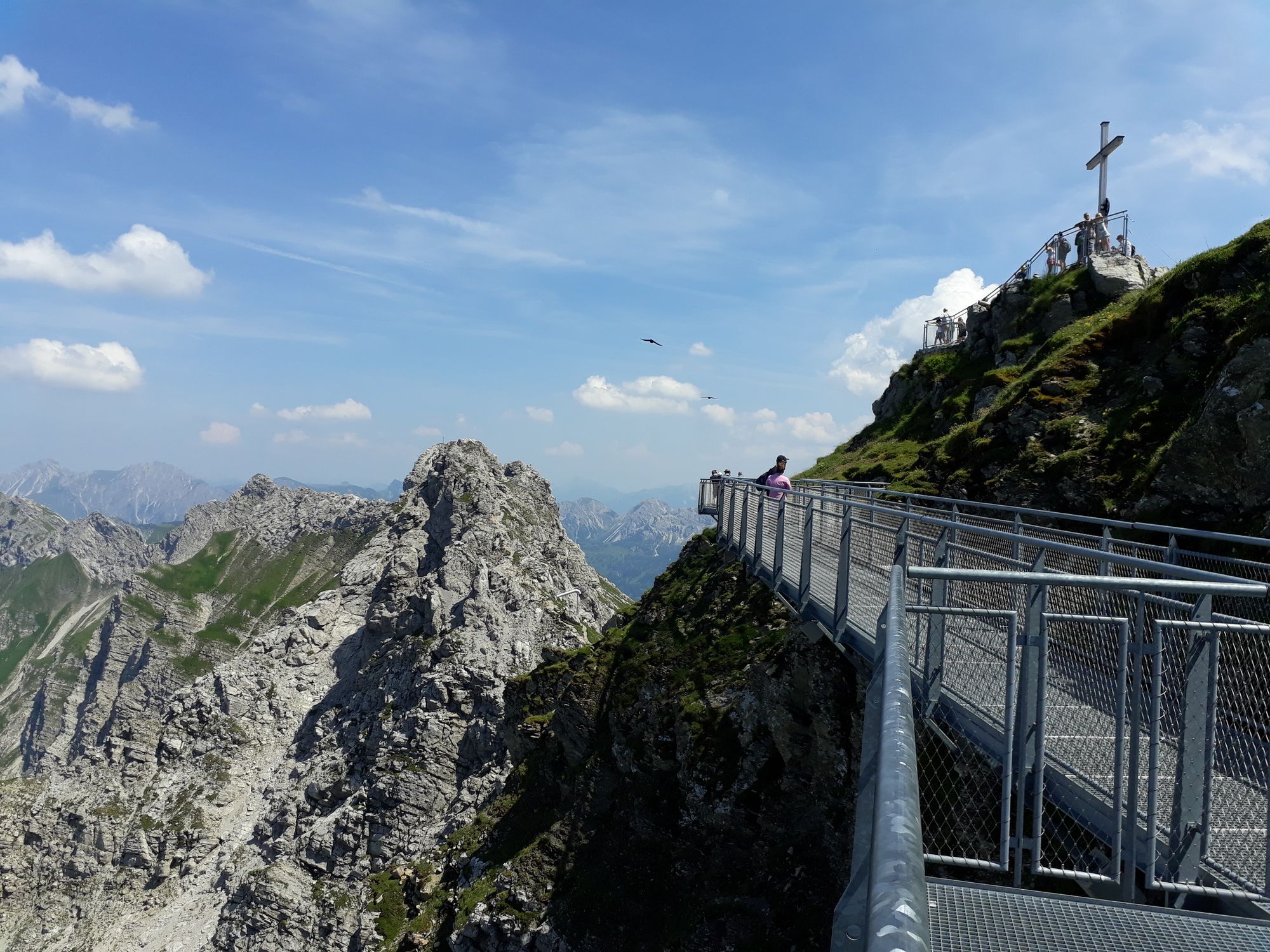
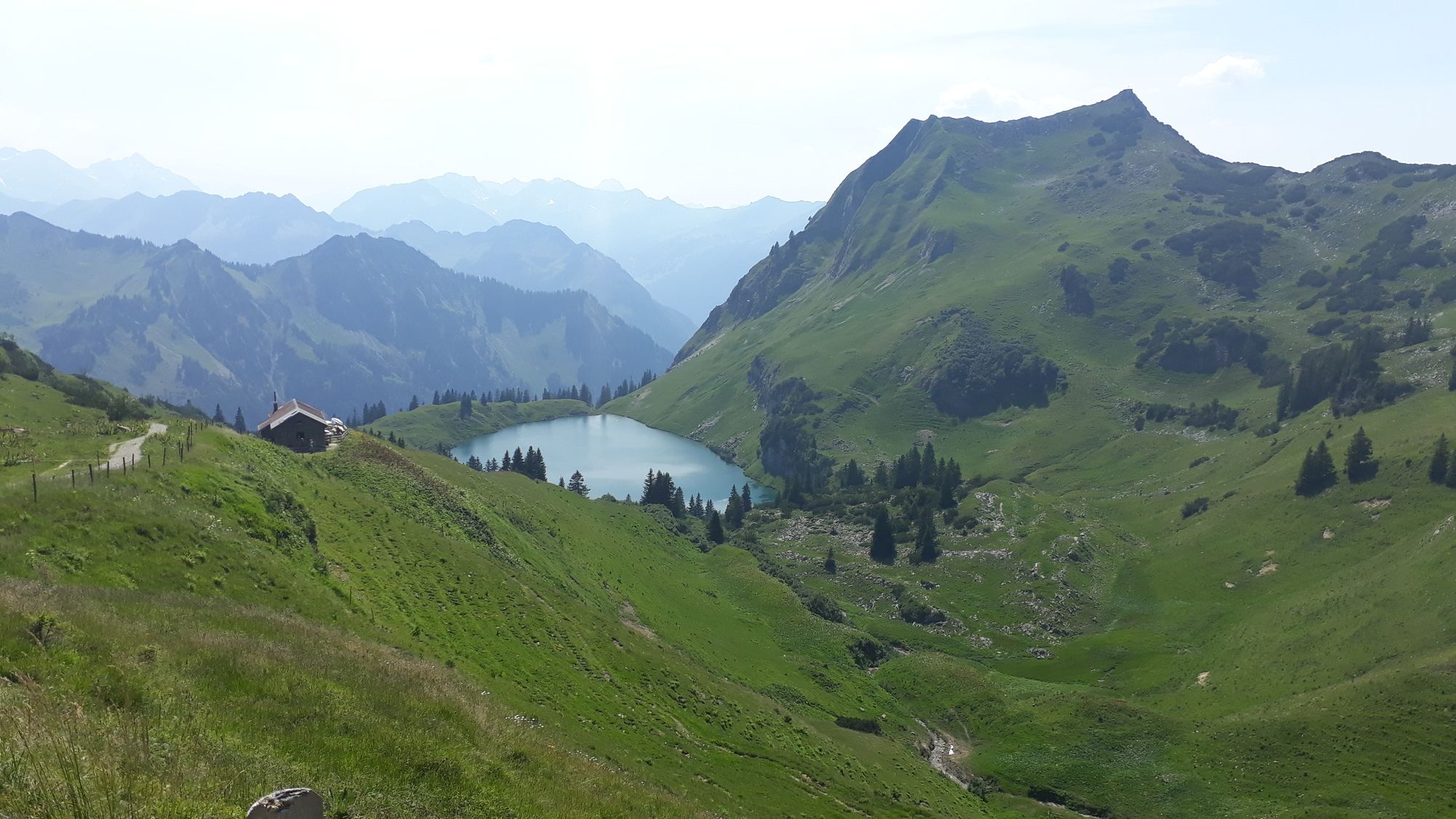
Aufstieg über Rubihornsteig und Gradwanderung zum Nebelhorn; Abstecher zum Seeaplsee; wieder hinauf zur Station Höfatsblick und steiler Abstieg über Station Seealpe
- Difficoltà
-
difficile
- Valutazione
-
- Percorso
-
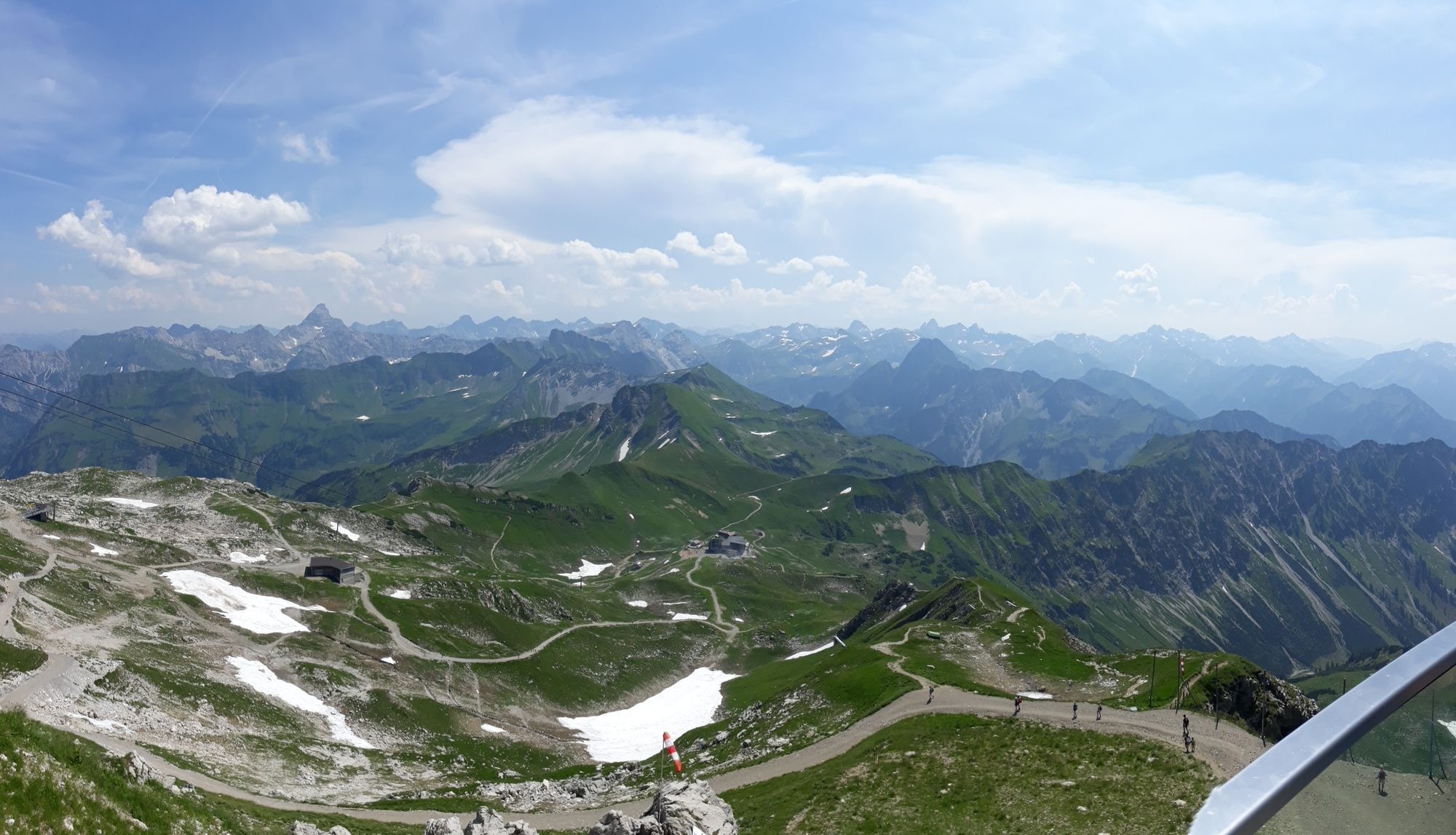
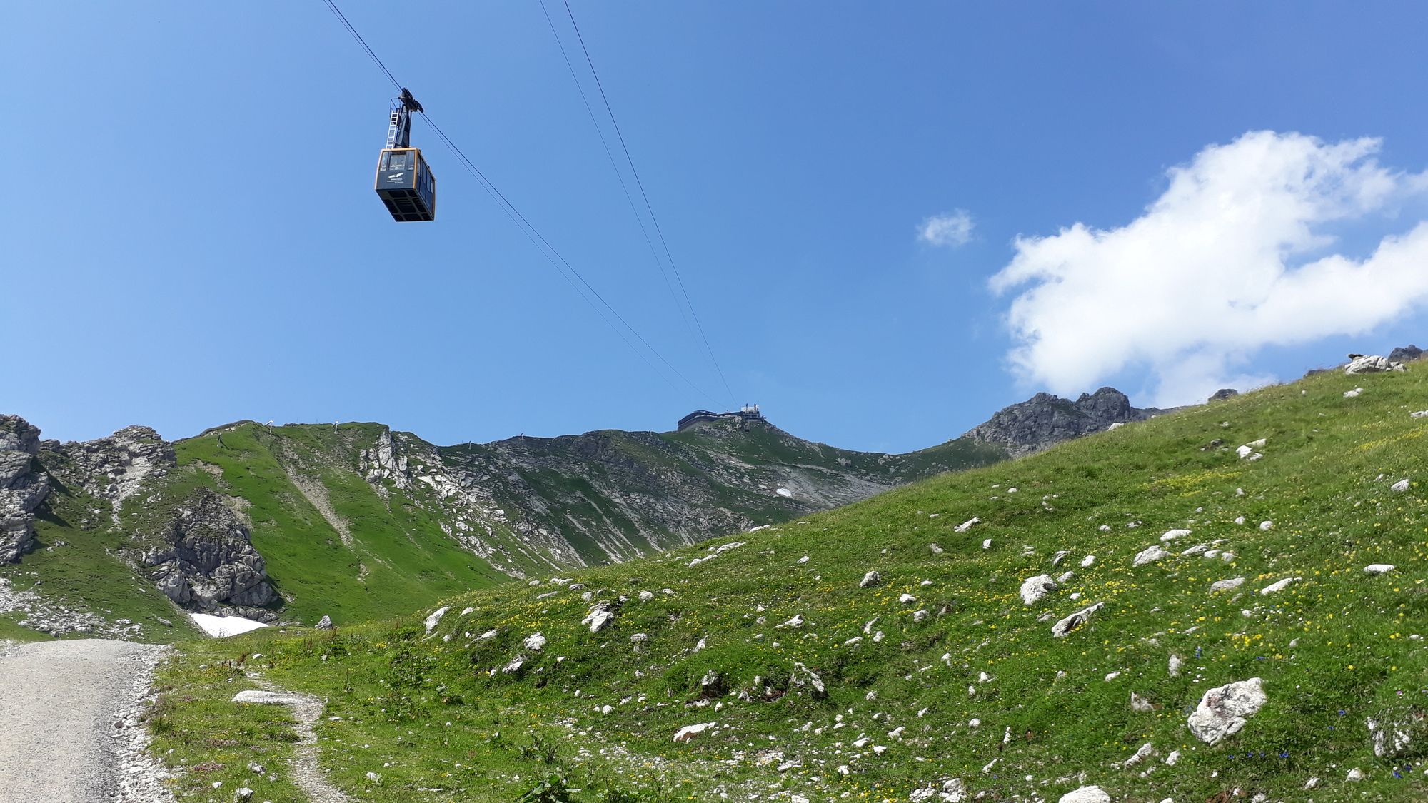
Oberstdorf (813 m)Rossbichel3,6 kmNiedereck (1.867 m)4,8 kmGaisalphorn (1.953 m)5,0 kmNebelhorn (2.224 m)7,6 kmGipfelstation (2.224 m)7,6 kmGipfelrestaurant Nebelhorn (2.224 m)7,6 kmEdmund-Probst-Haus8,8 kmNebelhorn Marktrestaurant8,8 kmPanoramabar Gemsnest8,8 kmSonngehrenbahn9,0 kmZeigersattel (1.900 m)9,5 kmZeigersattel (1.900 m)13,4 kmBerggasthof Seealpe17,5 kmOberstdorf (813 m)21,0 km
- Punto più alto
- Nebelhorn (2.224 m)


GPS Downloads


Altri tour nelle regioni
-
Alpsee-Grünten
1697
-
Oberstdorf / Nebelhorn
440


