- Descrizione rapida
-
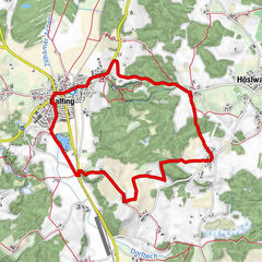
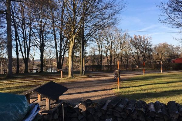
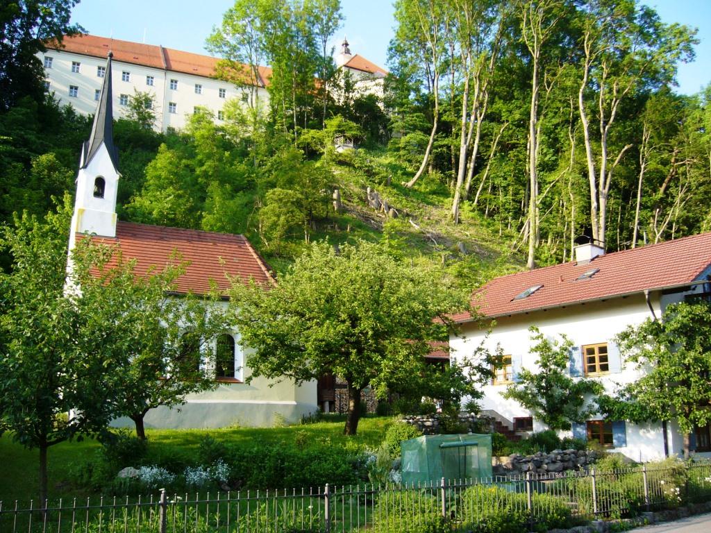
Die Wanderung führt von Attel hinunter in die Attlerau, ein kurzes Stück entlang des Inns nach Elend und über eine Treppe wieder zurück nach Attel.
- Difficoltà
-
facile
- Valutazione
-
- Percorso
-
Attel0,3 kmElend2,5 kmFischerstüberl2,7 kmGänsberg2,9 kmSt. Michael3,1 km
- La stagione migliore
-
genfebmaraprmaggiulugagosetottnovdic
- Punto più alto
- 477 m
- Destinazione
-
Attel
- Profilo altimetrico
-
 © outdooractive.com


- Autore
-
Il tour Rund um Attel bei Wasserburg è utilizzato da outdooractive.com fornito.
GPS Downloads


Info generali
Punto di ristoro
Culturale/Storico
Altri tour nelle regioni
-
Region Simssee
1070
-
Griesstätt
35