© Pfronten Tourismus - Julian Knacker
© Pfronten Tourismus - Julian Knacker
© Pfronten Tourismus - Julian Knacker
© Pfronten Tourismus - Julian Knacker
© Pfronten Tourismus - Julian Knacker

- Descrizione rapida
-
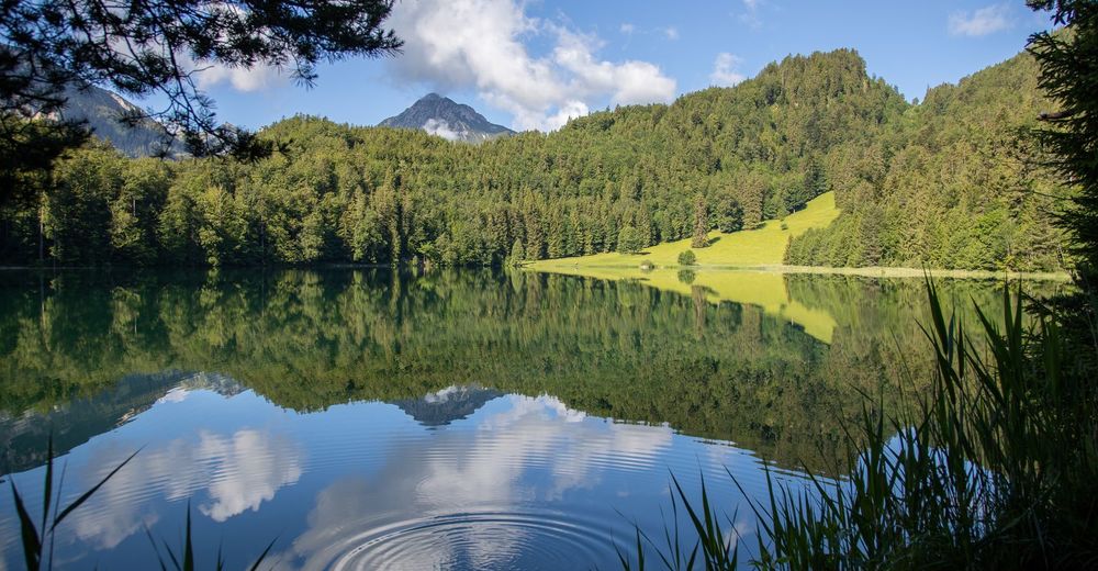
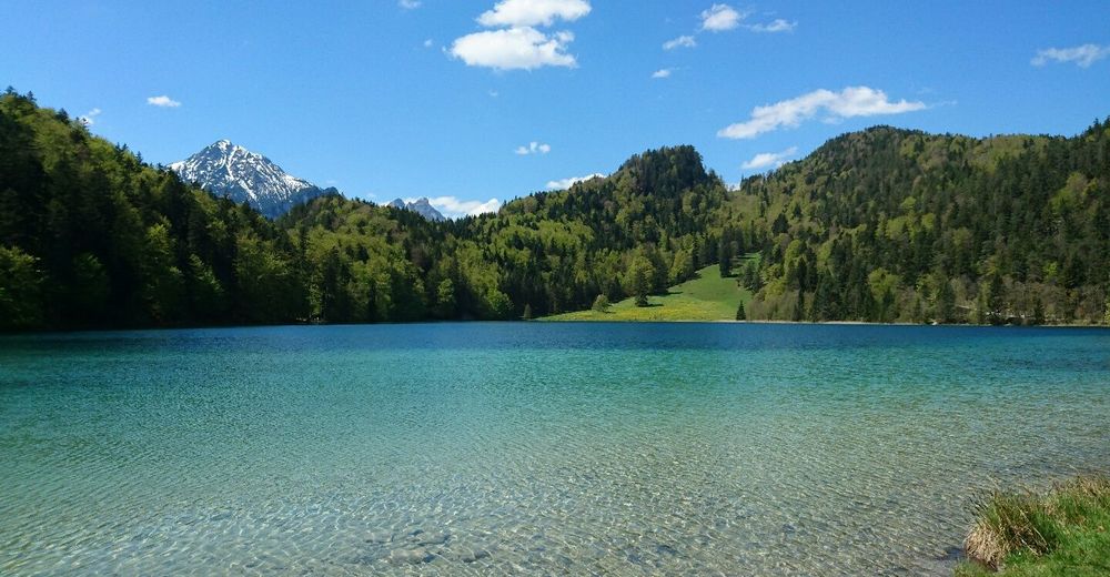
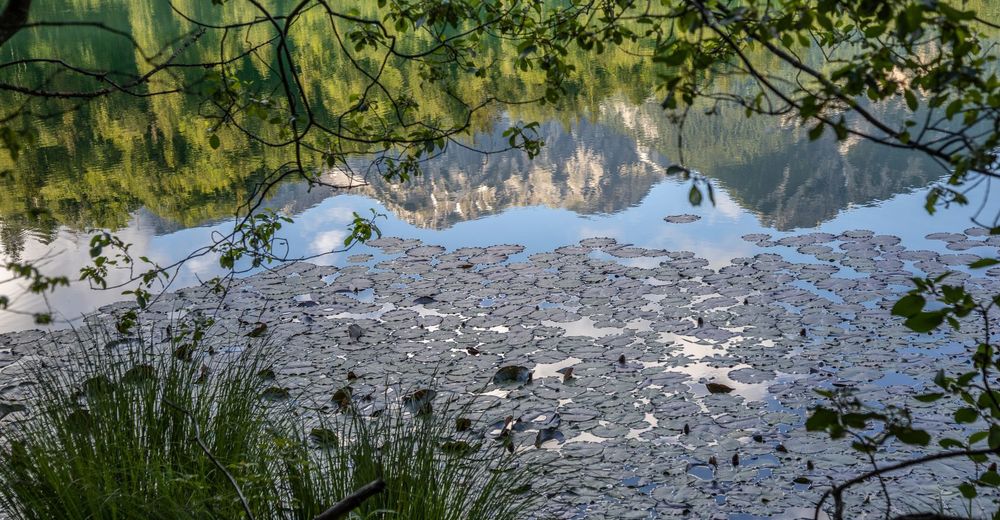
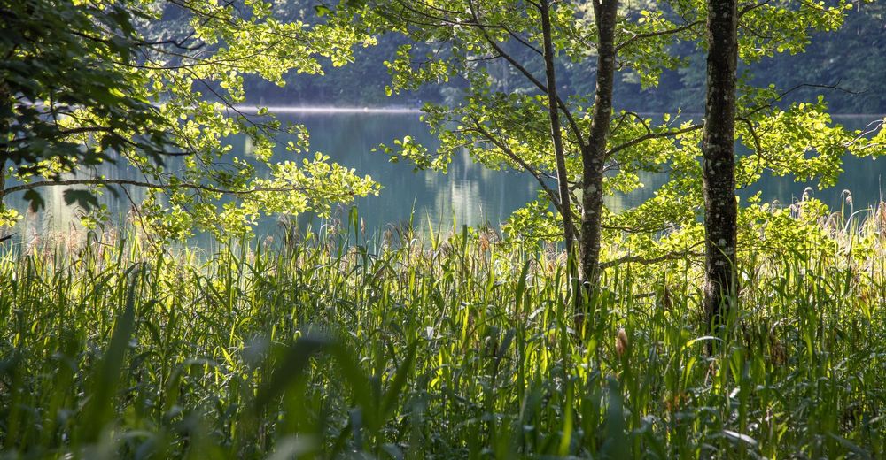
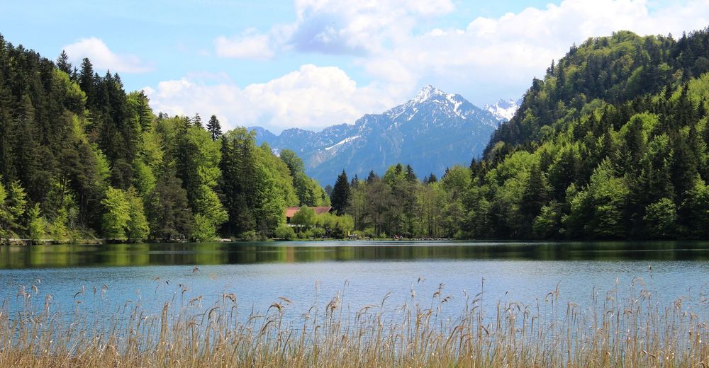
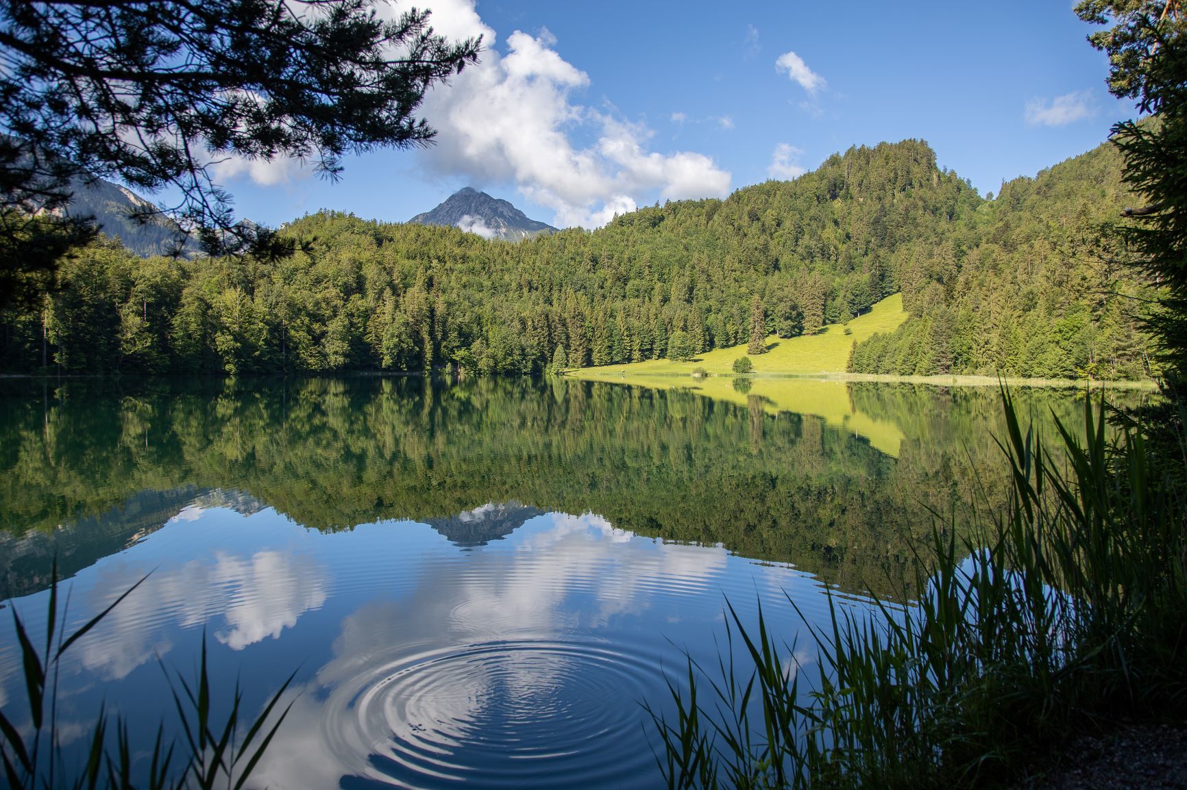
In der Nähe von Pfronten befindet sich der idylische Alatsee. Hier ist eine Umrundung und eine Abkühlung im klaren Wasser (im Sommer) zu empfehlen.
- Difficoltà
-
facile
- Valutazione
-
- Percorso
-
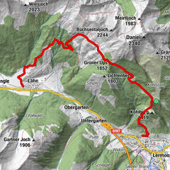
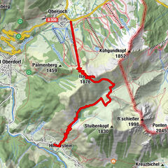
Füssen (808 m)Bad Faulenbach0,6 kmKobel1,6 kmHotel & Restaurant Alatsee4,3 kmBad Faulenbach8,4 kmSt. Max8,6 kmFüssen (808 m)8,9 km
- La stagione migliore
-
genfebmaraprmaggiulugagosetottnovdic
- Punto più alto
- 889 m
- Profilo altimetrico
-
 © outdooractive.com


- Autore
-
Il tour Rund um den Alatsee è utilizzato da outdooractive.com fornito.
GPS Downloads


Info generali
Punto di ristoro
Promettente