
- Descrizione rapida
-
Schöne und abwechslungsreiche Wanderung, familiengeeignet.
- Difficoltà
-
intermedio
- Valutazione
-
- Percorso
-
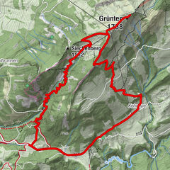
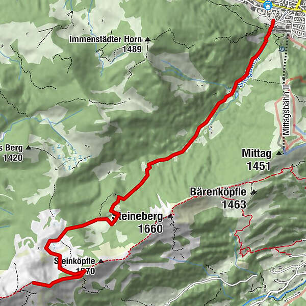
Immenstadt i.Allgäu (729 m)Steigbachtobel0,5 kmHölzerne Kapelle1,0 kmAlpe Gund5,9 kmStuiben (1.749 m)8,2 km
- Punto più alto
- 1.741 m
- Destinazione
-
Stuiben
- Profilo altimetrico
-
 © outdooractive.com
- Autore
-
Il tour Stuiben - Allgäuer Picknickplätze è utilizzato da outdooractive.com fornito.
GPS Downloads


Info generali
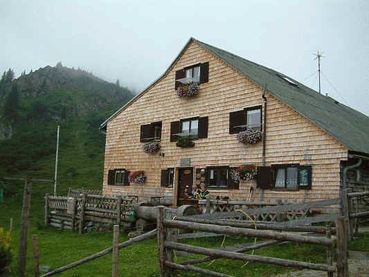
Punto di ristoro
Promettente
Altri tour nelle regioni
-
Allgäu
2357
-
Alpsee-Grünten
1694
-
Gunzesried / Gunzesrieder Tal
448