© Andreas Muehlbauer

© Andreas Muehlbauer

© Andreas Muehlbauer

© Andreas Muehlbauer

© Andreas Muehlbauer

© Andreas Muehlbauer

© Andreas Muehlbauer
Dati percorsi
5,4km
526
- 818m
284hm
280hm
02:00h
- Descrizione rapida
-
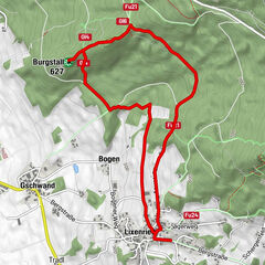
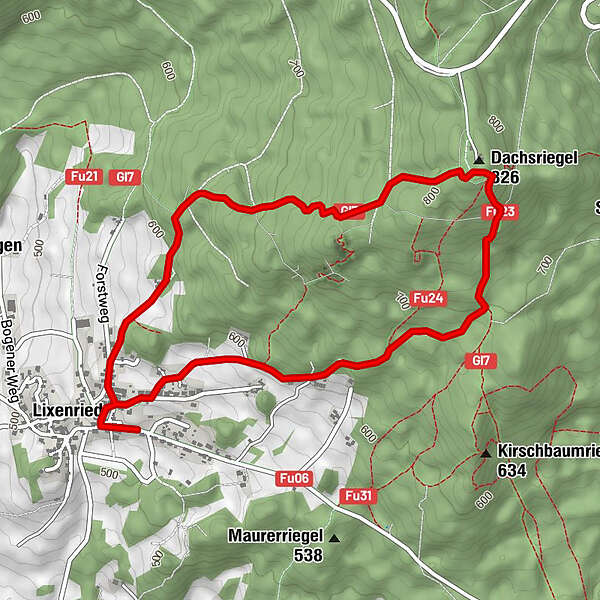
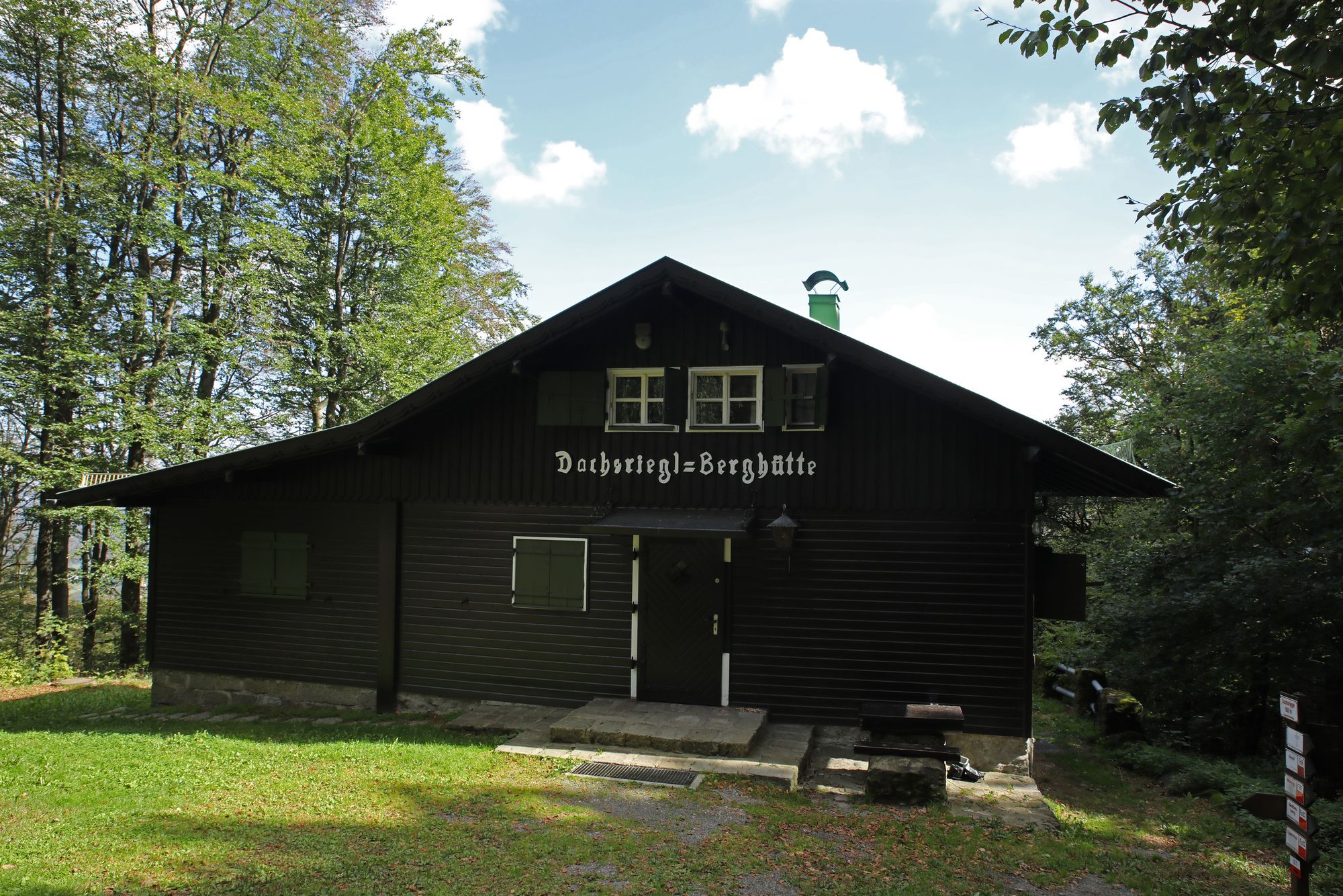
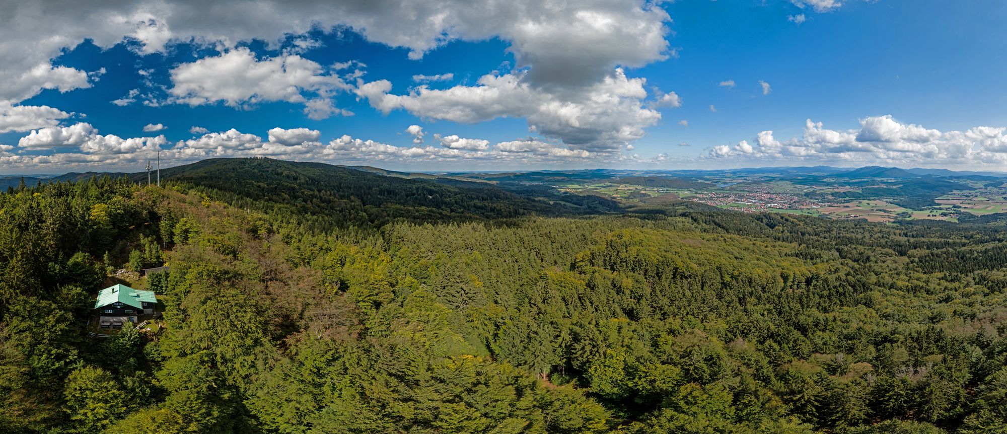
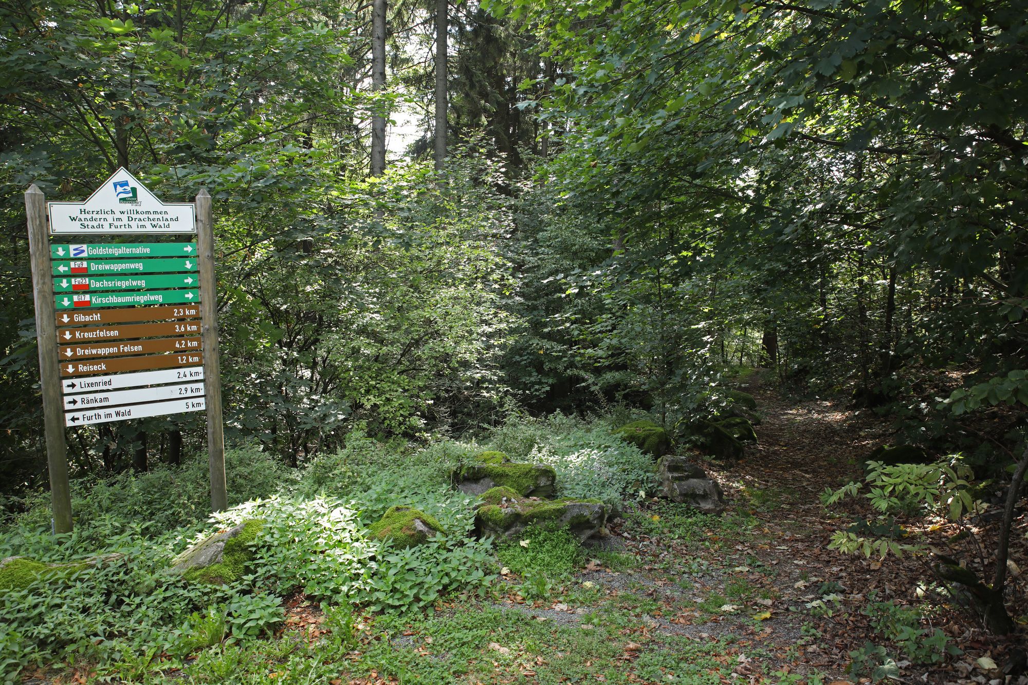
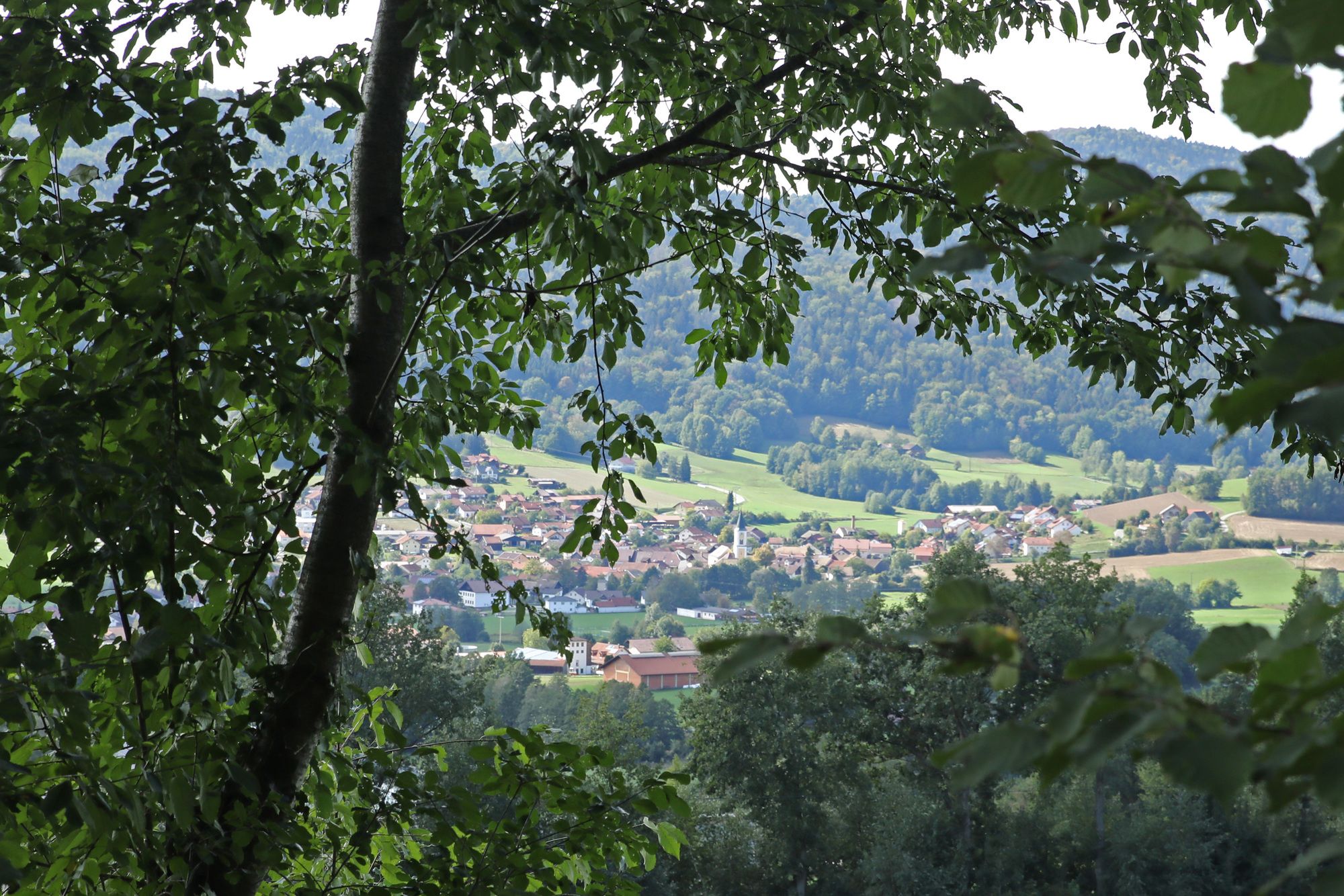
Wanderung vom Bergdorf Lixenried hinauf zum Dachsriegel und wieder zurück.
- Difficoltà
-
intermedio
- Valutazione
-
- Punto di partenza
-
Wanderparkplatz Friedhof Lixenried
- Percorso
-
Gasthaus zum Fächtn0,1 kmLixenried0,2 kmDachsriegel (826 m)2,7 kmLixenried5,1 kmGasthaus zum Fächtn5,3 km
- La stagione migliore
-
genfebmaraprmaggiulugagosetottnovdic
- Punto più alto
- 818 m
- Destinazione
-
Wanderparkplatz Friedhof Lixenried
- Riposo/Ritiro
-
nicht vorhanden
- Cartine
-
zu beziehen in der Further Tourist-Information Tel. 09973/509-80
- Telefono informazioni
-
09973/509-80
- Link
- www.bayerischer-wald-ganz-oben.de
- Fonte
- Andreas Mühlbauer
GPS Downloads


Condizioni dei sentieri
Asfalto
(20%)
Ghiaia
(40%)
Prato
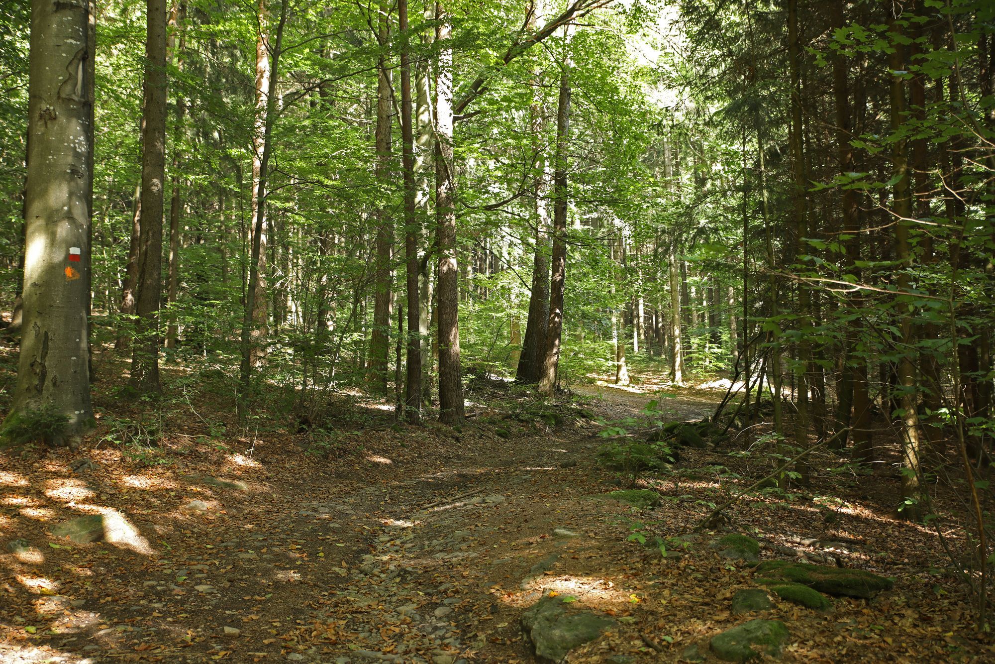
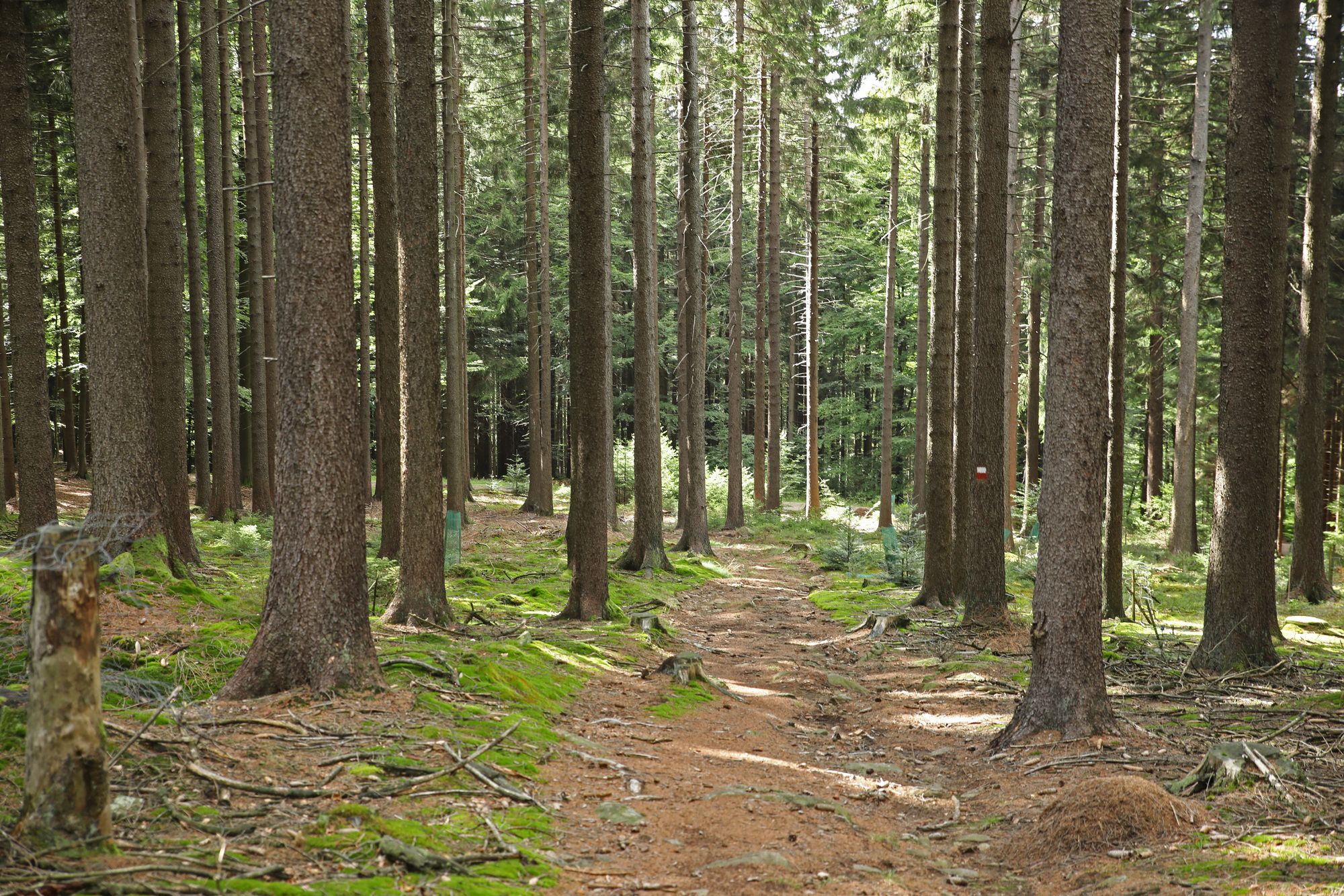
Foresta
(40%)
Roccia
Esposta
Altri tour nelle regioni