© Andreas Muehlbauer

© Andreas Muehlbauer

© Andreas Muehlbauer

© Andreas Muehlbauer

© Andreas Muehlbauer

© Andreas Muehlbauer
Dati percorsi
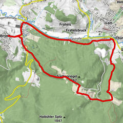
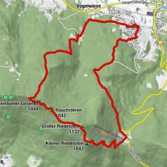
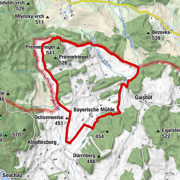
9,83km
422
- 517m
124hm
124hm
02:30h
- Descrizione rapida
-
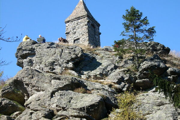
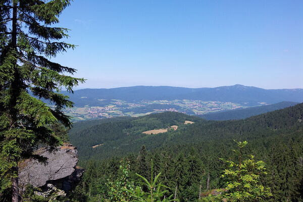
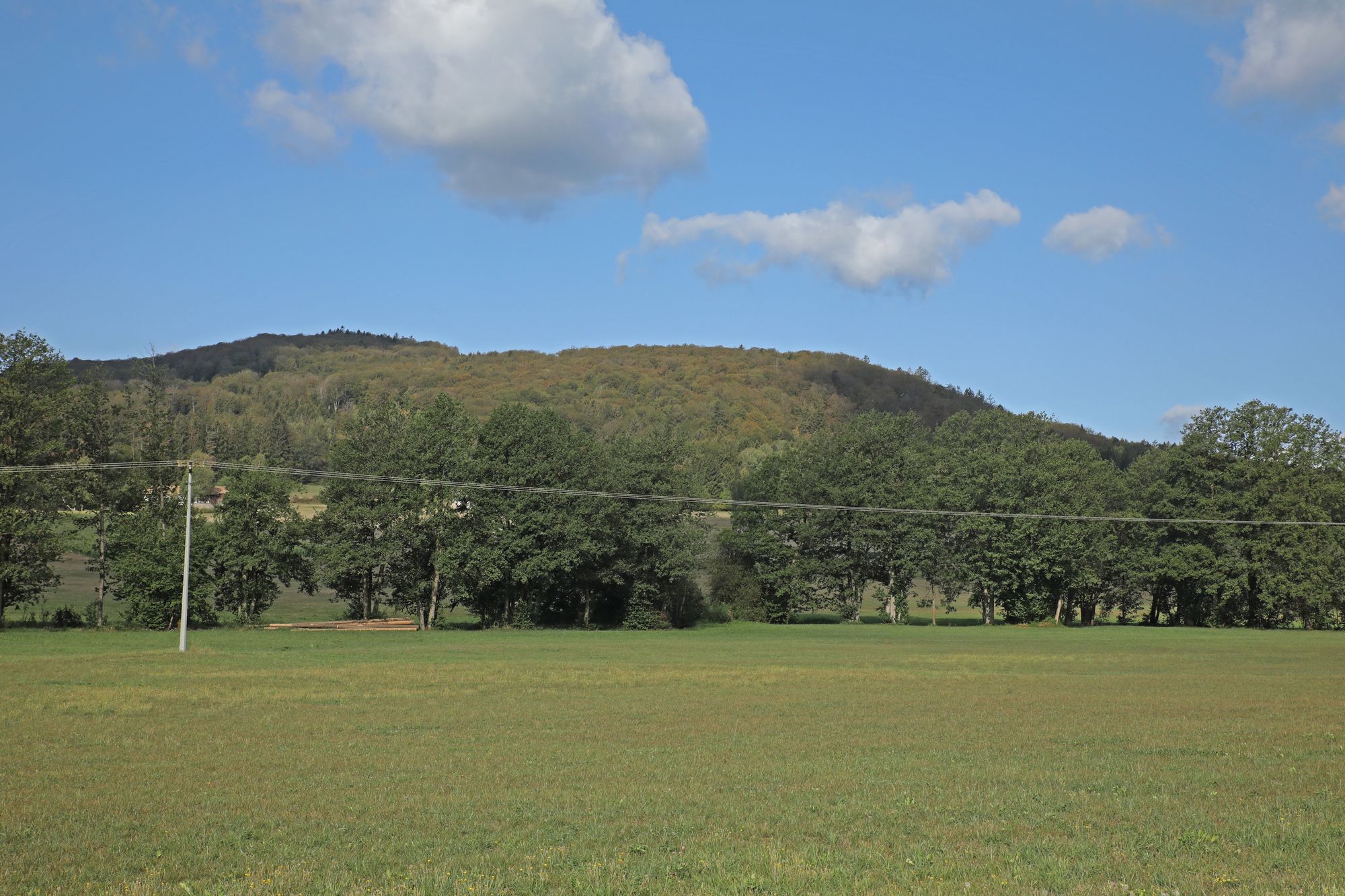
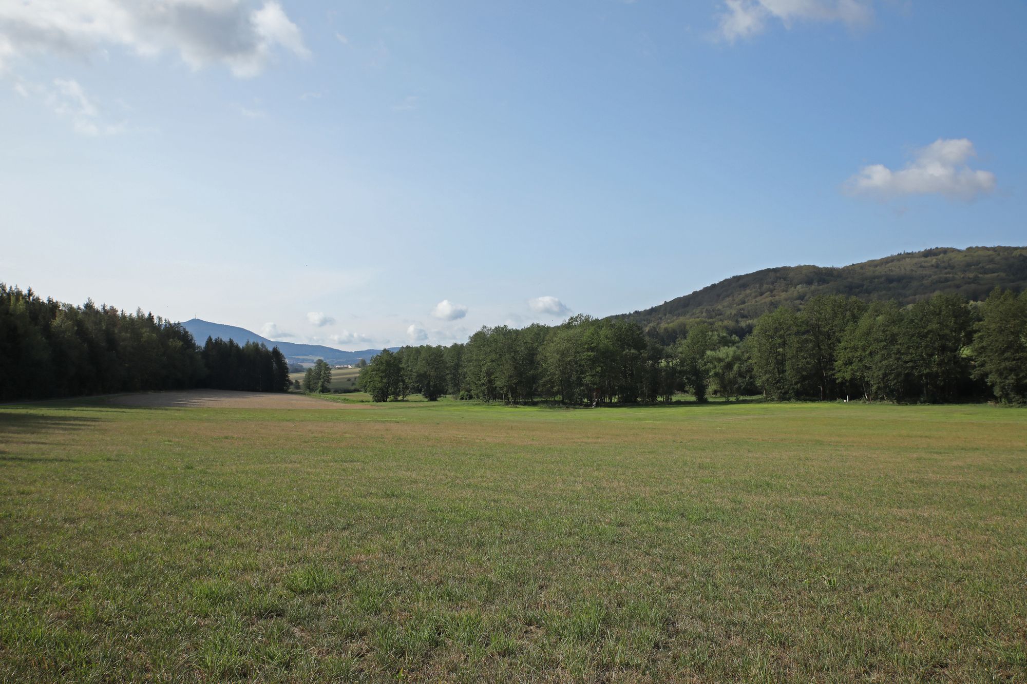
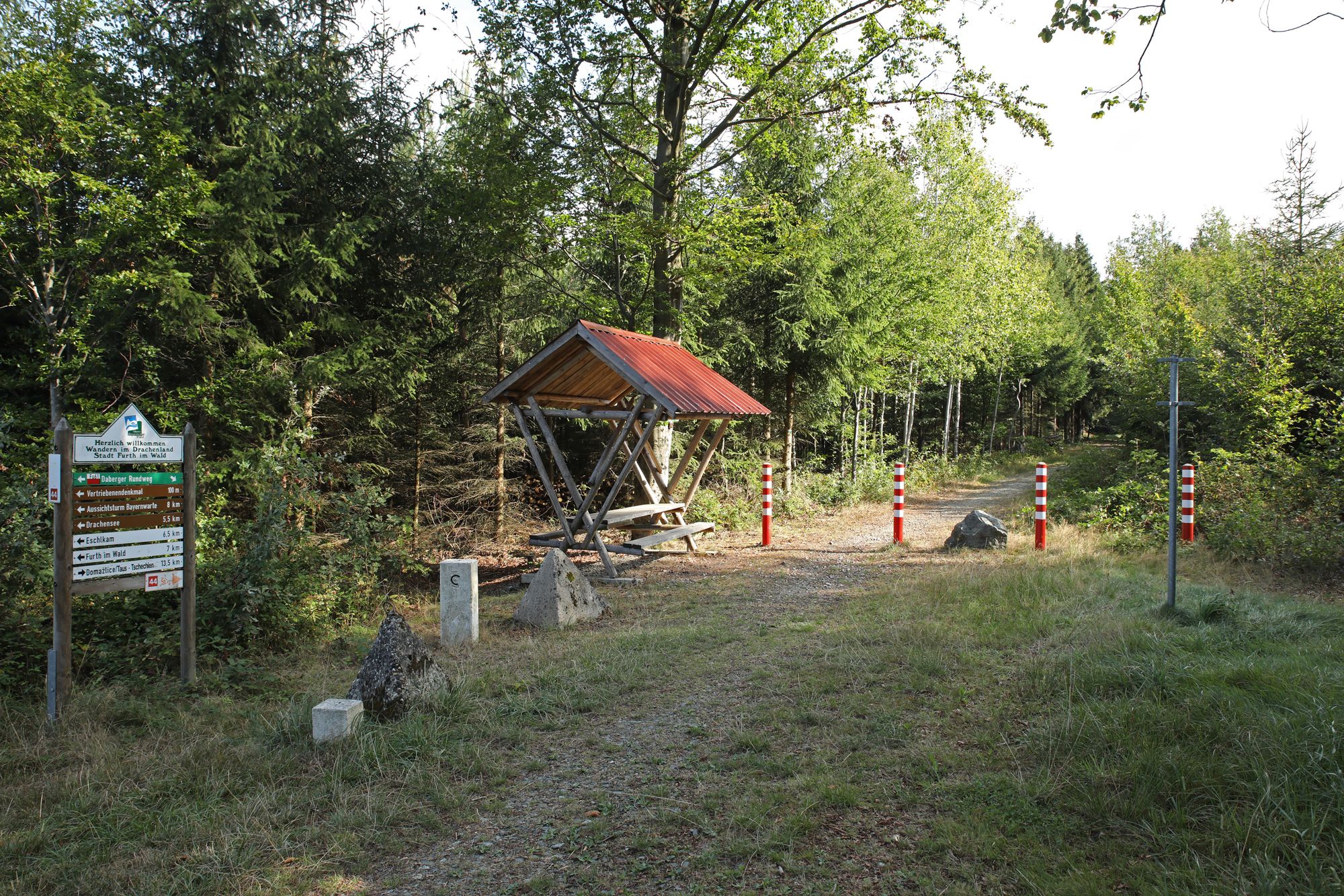
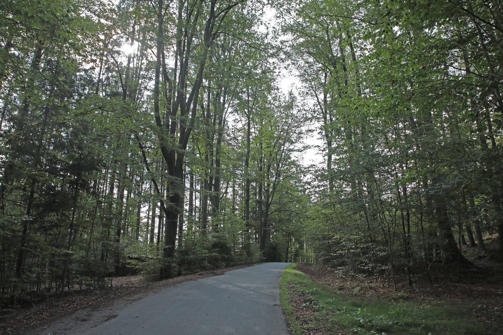
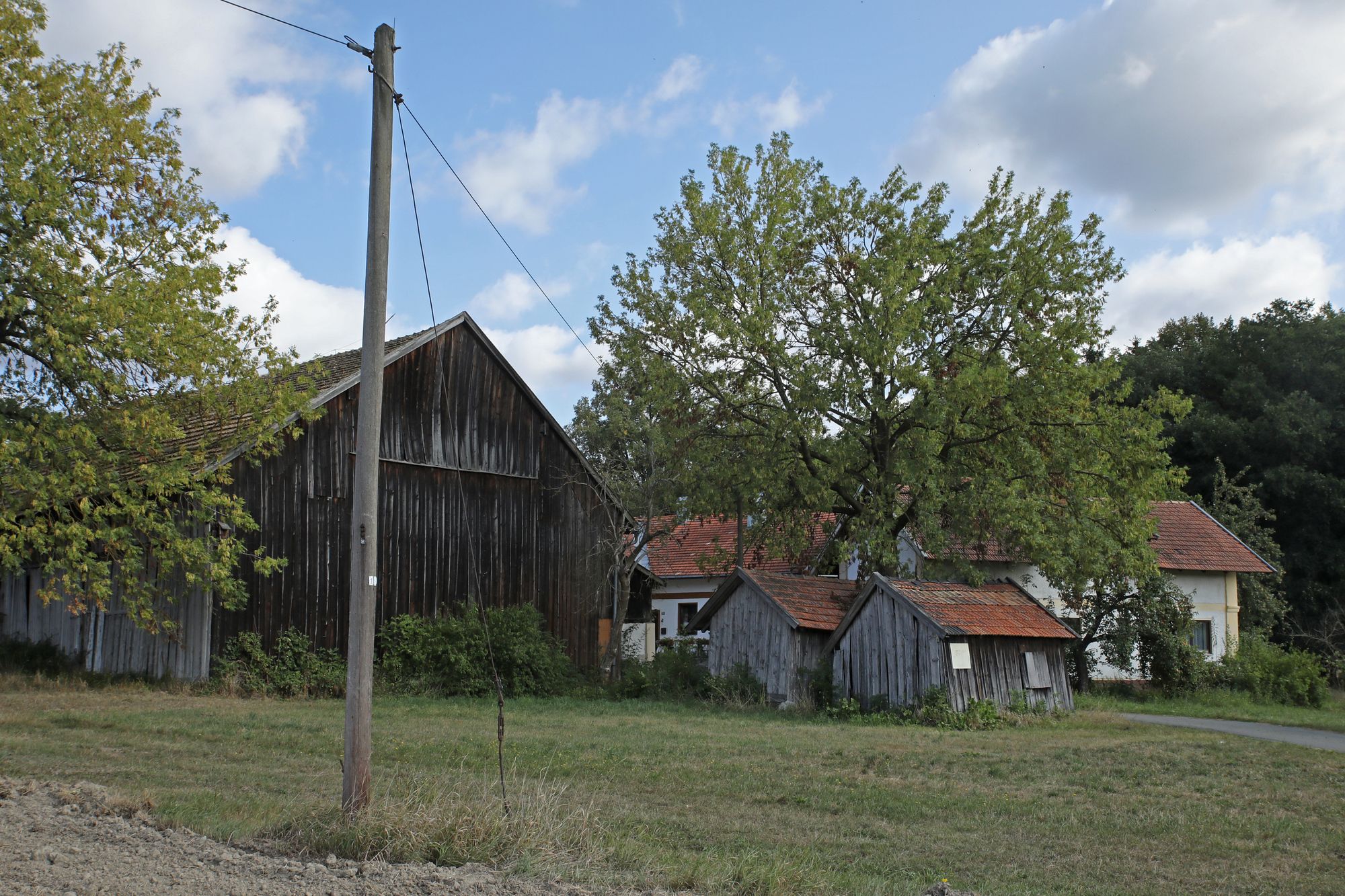
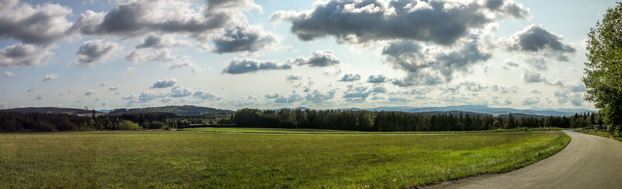
Rundwanderweg an der Bayerisch-Böhmischen Grenzen mit schönen Ausblicken auf dem Bayerischen und dem Böhmerwald
- Difficoltà
-
facile
- Valutazione
-
- Punto di partenza
-
Feuerwehrgerätehaus Daberg
- Percorso
-
Kapelle0,1 kmBayerische Mühle1,3 km
- La stagione migliore
-
genfebmaraprmaggiulugagosetottnovdic
- Punto più alto
- 517 m
- Destinazione
-
Feuerwehrgerätehaus Daberg
- Riposo/Ritiro
-
Wirtshaus "Zum Bayerischen Häusl"
- Cartine
-
Kartenmaterial ist in der Further Tourist Information zu erwerben.
- Telefono informazioni
-
09973/509-80
- Link
- www.bayerischer-wald-ganz-oben.de
- Fonte
- Andreas Mühlbauer
GPS Downloads


Condizioni dei sentieri
Asfalto
(50%)
Ghiaia
(20%)
Prato
Foresta
(30%)
Roccia
Esposta
Altri tour nelle regioni