© Wandermagazin
- Descrizione rapida
-
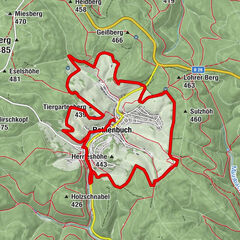
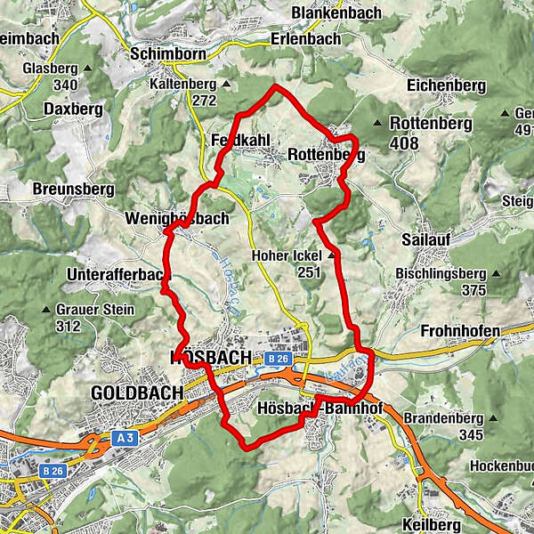
Die abwechslungsreiche Wanderung führt durch hügeliges Gelände über Streuobstwiesen, durch Wäldchen und kleine Täler.
- Difficoltà
-
difficile
- Valutazione
-
- Percorso
-
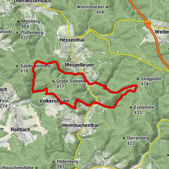
Restaurant zum WilddiebZum Specht0,1 kmHösbach-Bahnhof0,1 kmSailauf-Weyberhöfe1,2 kmHaidhof3,0 kmRottenberg6,1 kmFeldkahl10,1 kmWenighösbach12,3 kmGoldbach15,4 kmHösbach16,1 kmAschaffenburg (138 m)17,4 kmHösbach-Bahnhof19,6 kmZum Specht20,0 kmRestaurant zum Wilddieb20,0 km
- La stagione migliore
-
genfebmaraprmaggiulugagosetottnovdic
- Punto più alto
- 306 m
- Destinazione
-
Bhf. Hösbach
- Profilo altimetrico
-
 © outdooractive.com
- Autore
-
Il tour Die Höhen des Vorspessarts è utilizzato da outdooractive.com fornito.
GPS Downloads


Info generali
Punto di ristoro
Flora
Promettente
Altri tour nelle regioni
-
Bergstraße Odenwald
791
-
Spessart-Mainland / Bayern
346
-
Hösbach
132