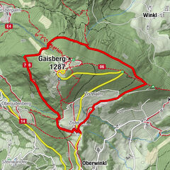
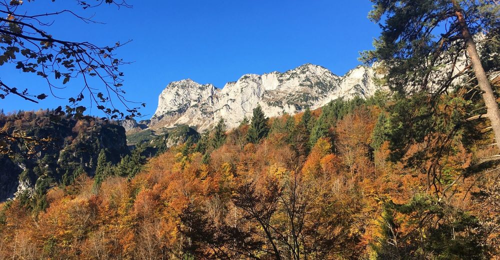
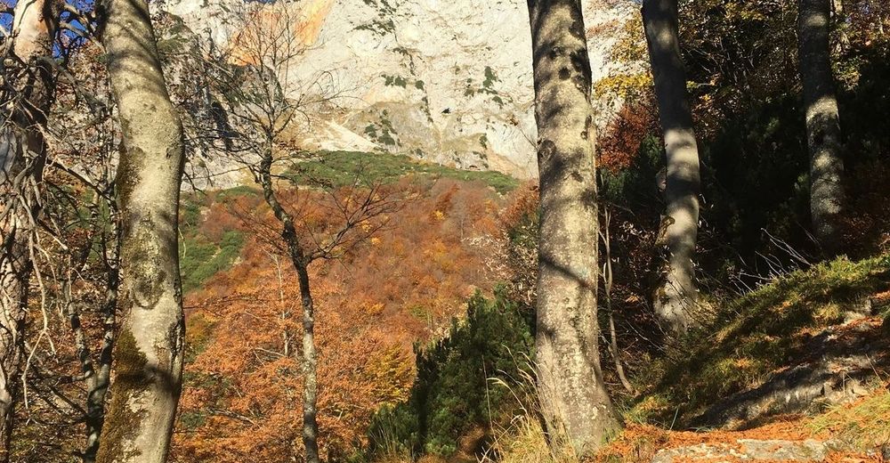
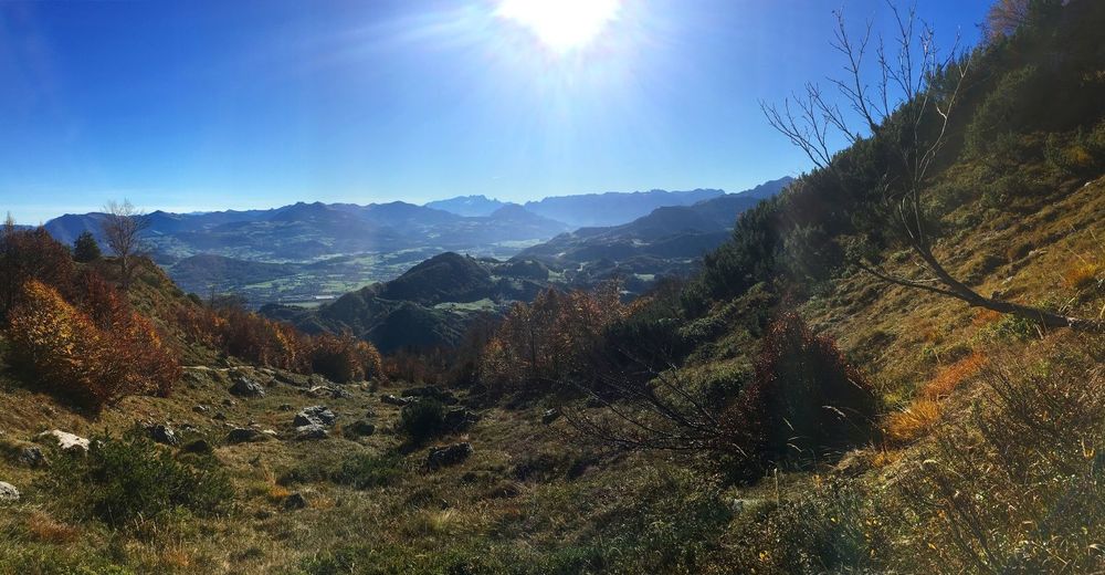
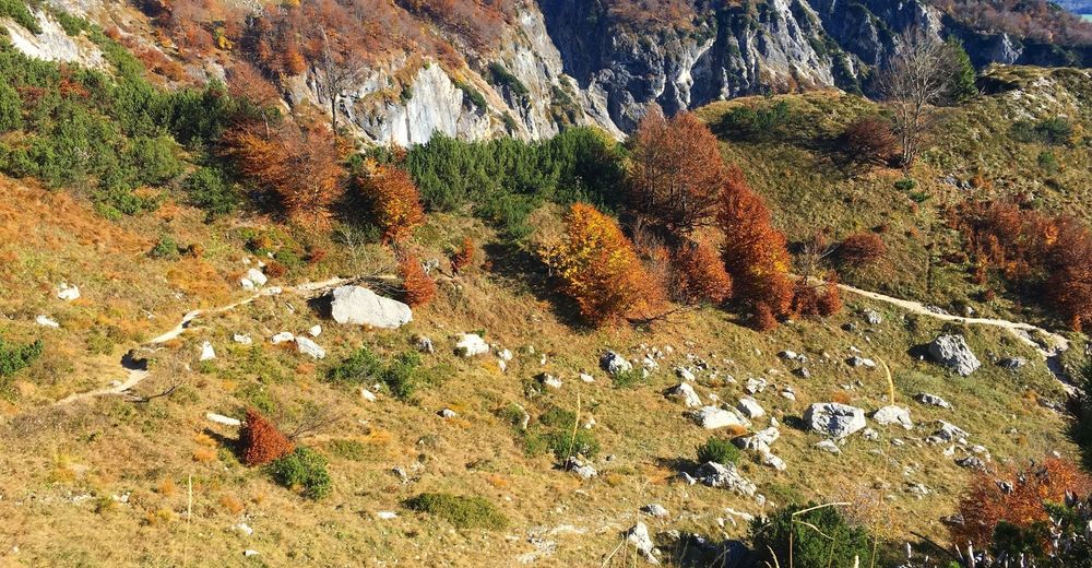
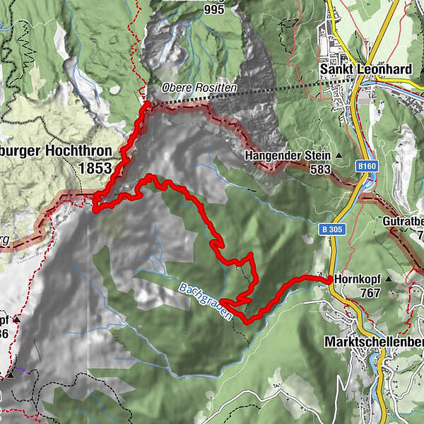
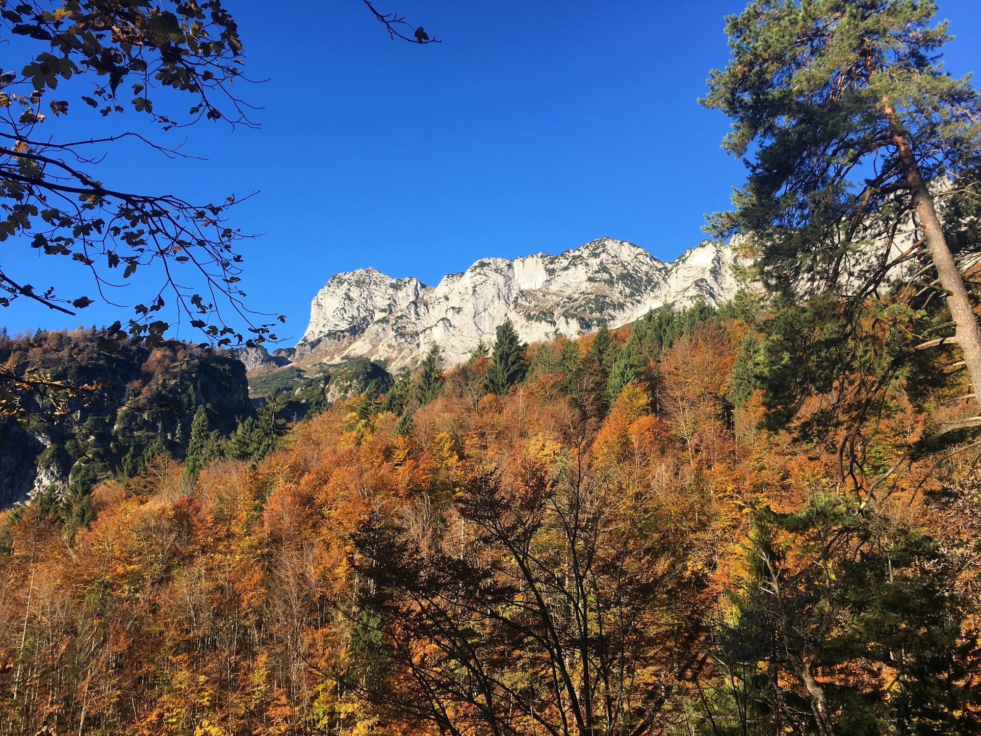
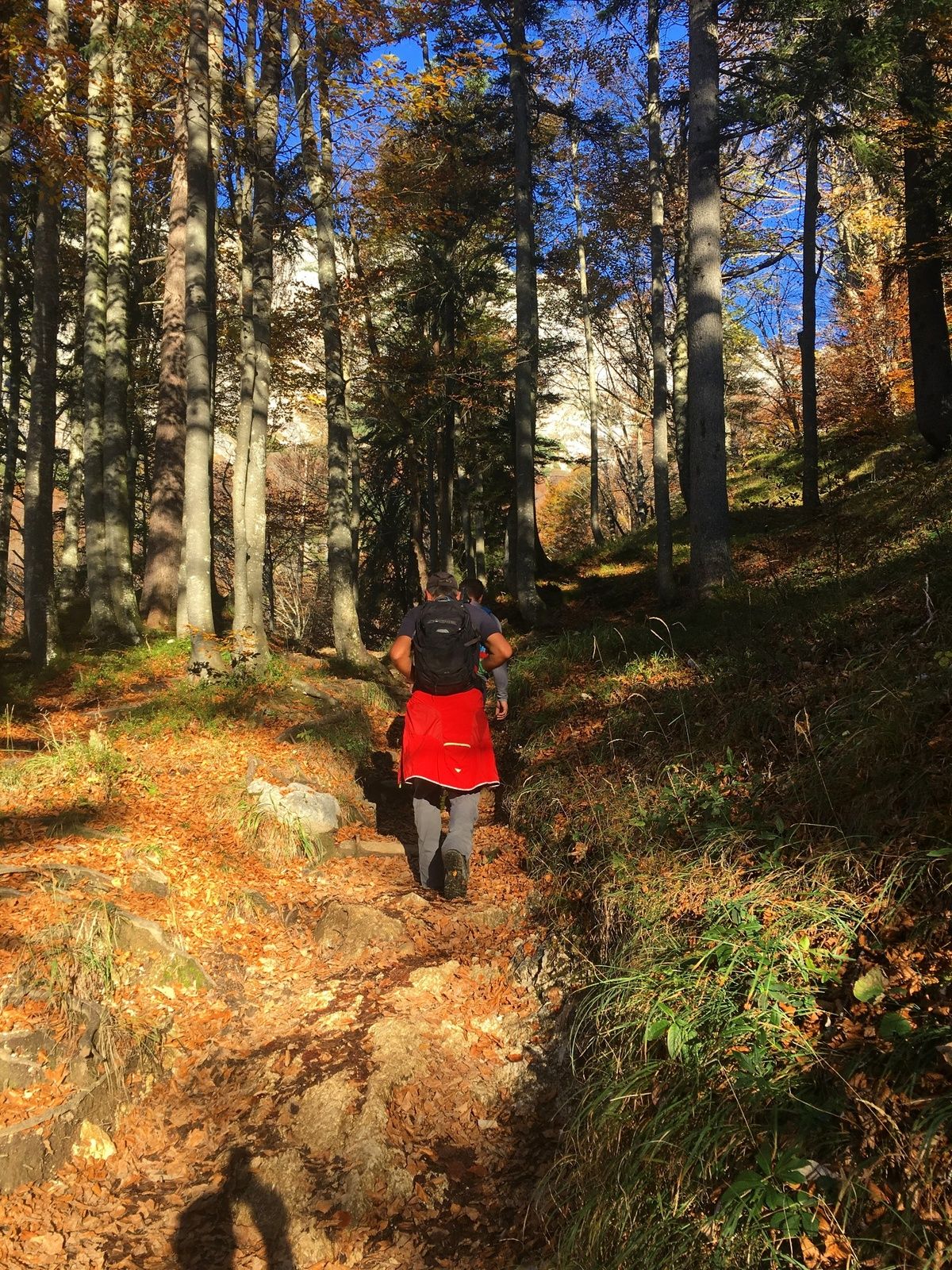
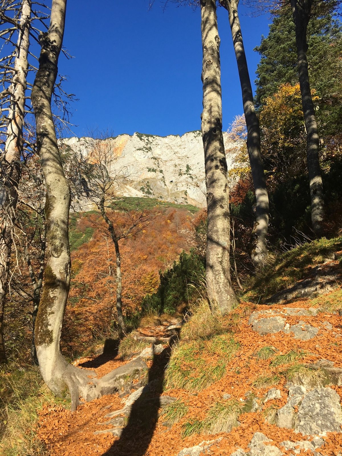
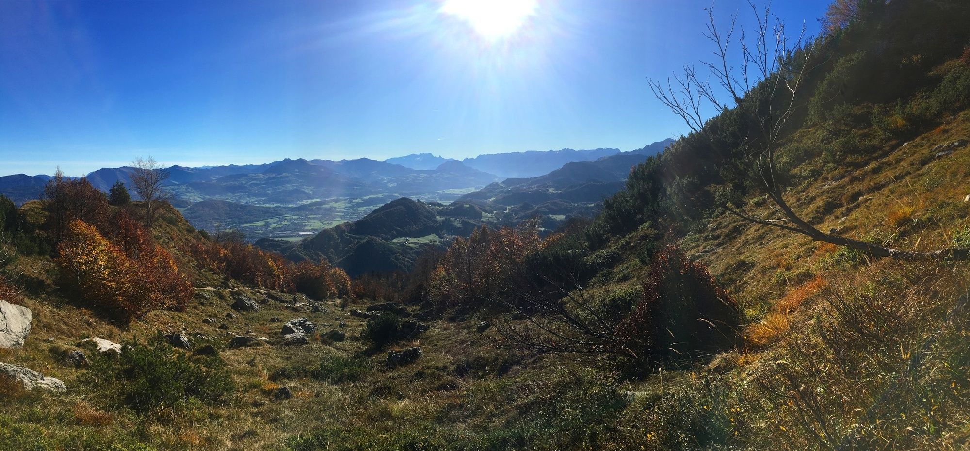
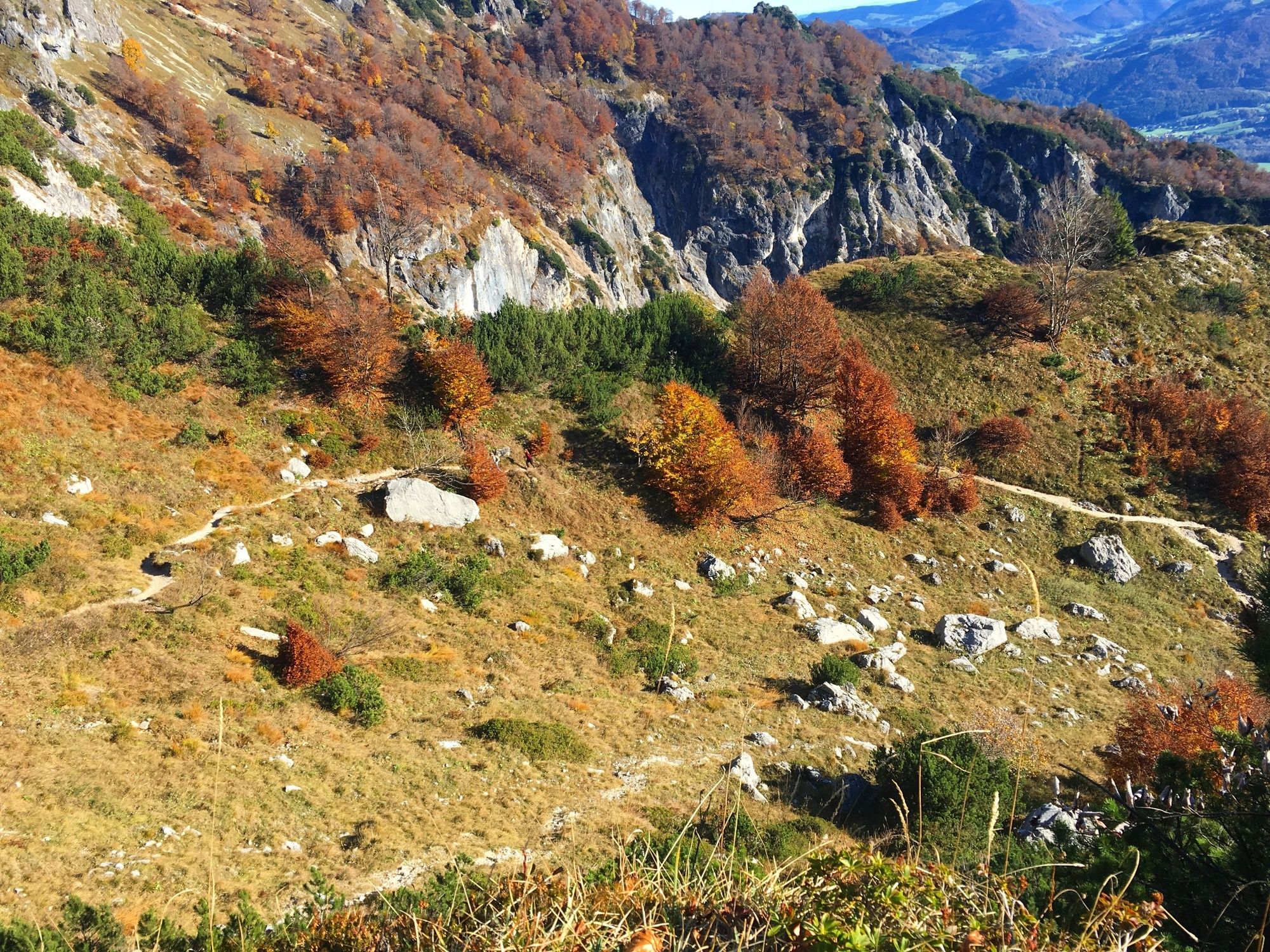
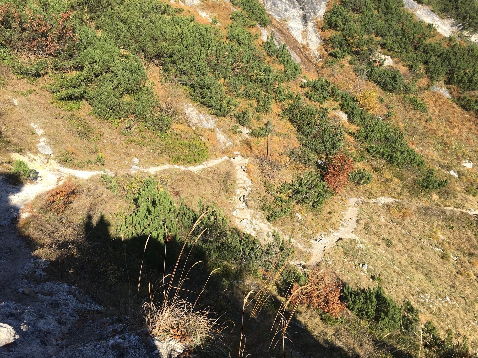
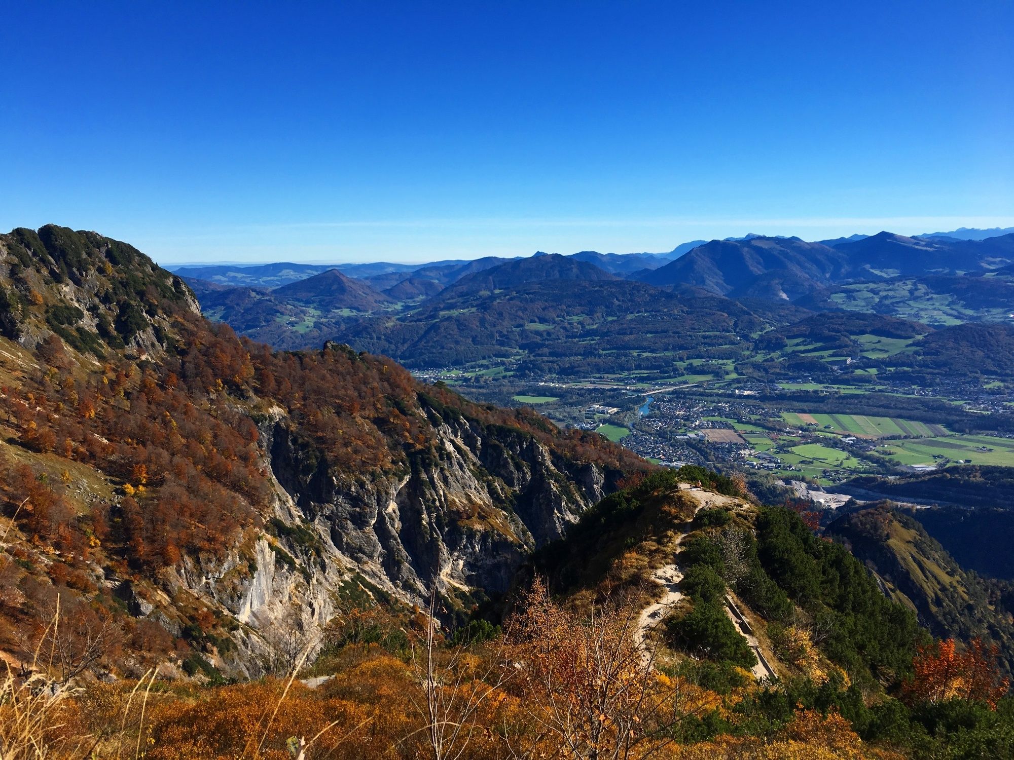
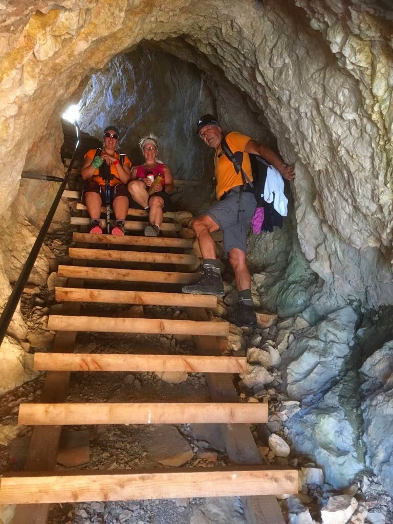
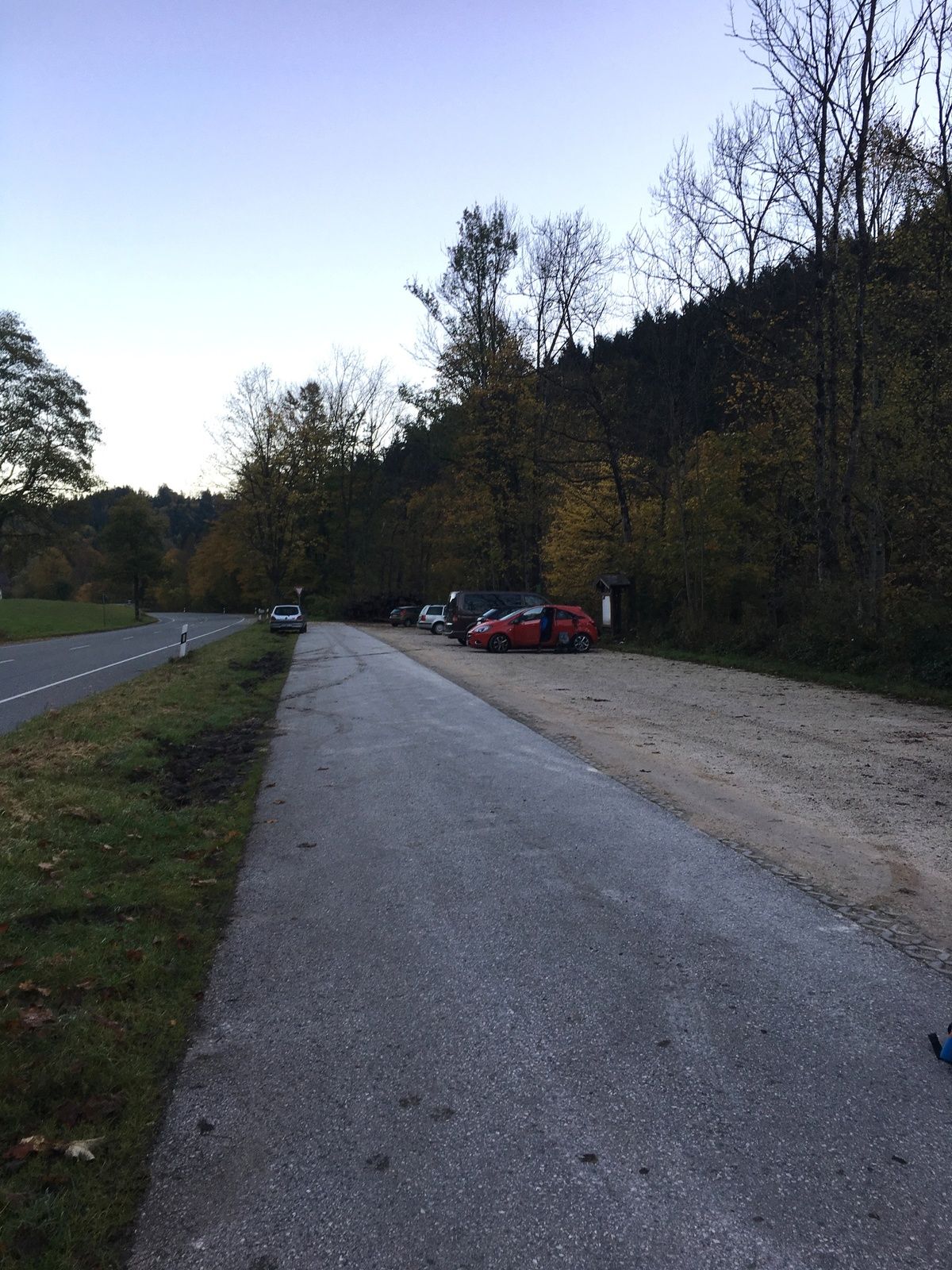
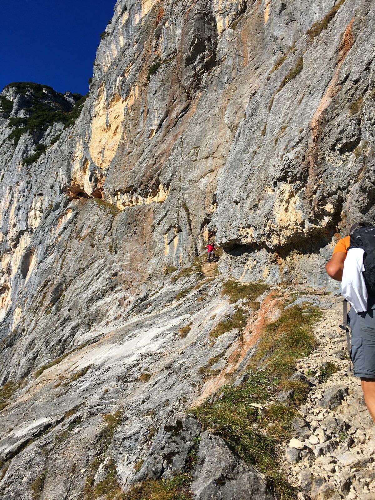
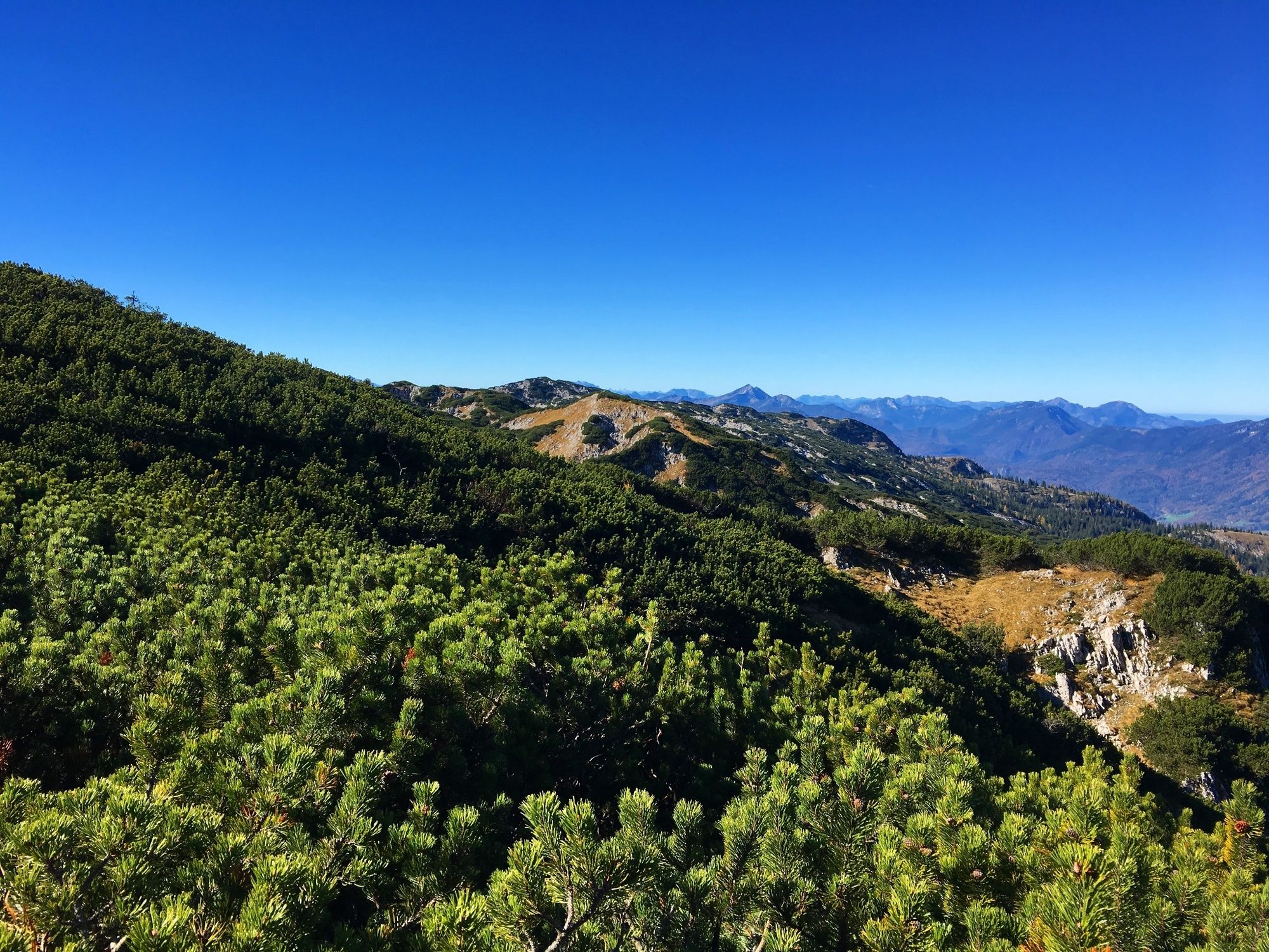
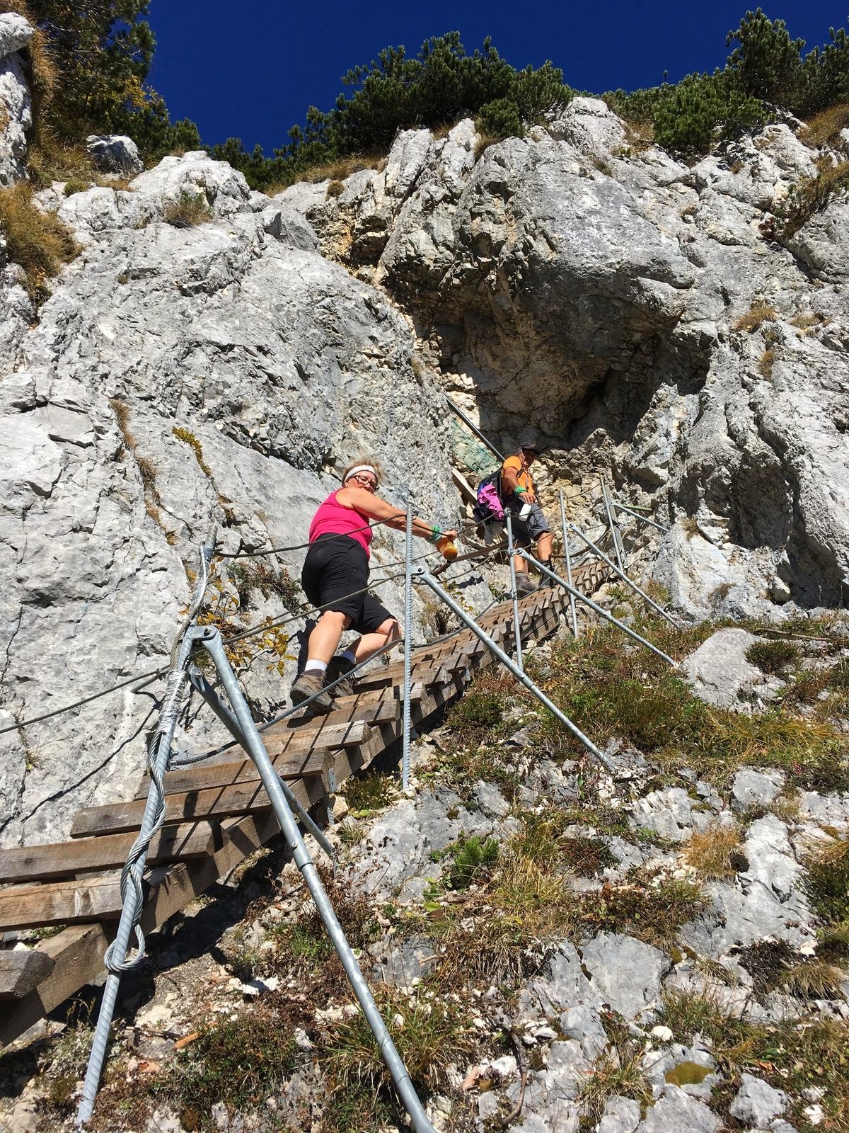
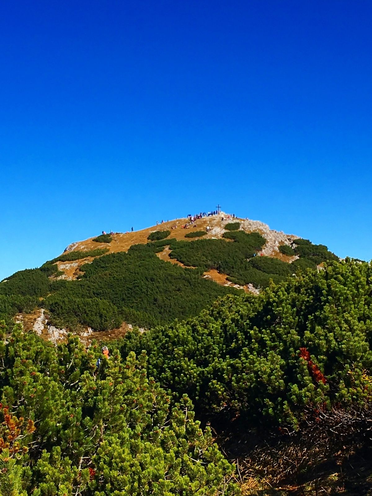
Untersberg ab Marktschellenberg zum Salzburger Hochthron

Escursionismo

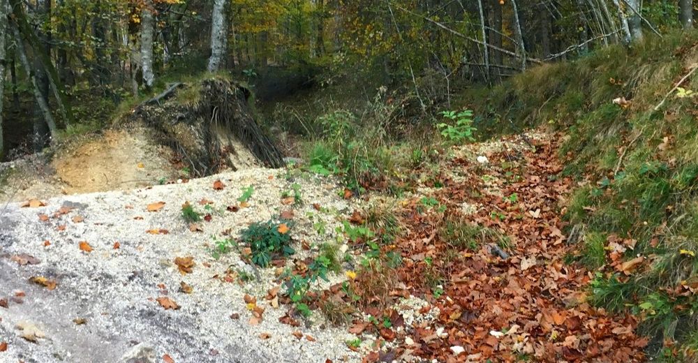
© Hotel Königgut - Christine Bauernhansl

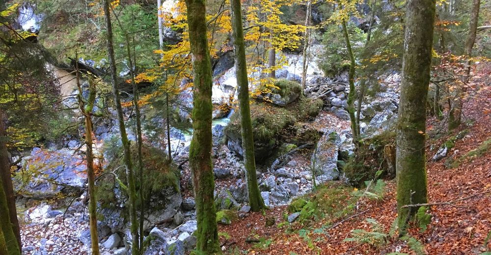
© Hotel Königgut - Christine Bauernhansl
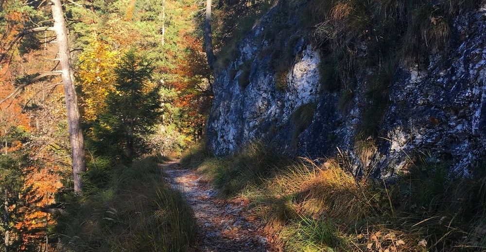
© Hotel Königgut - Christine Bauernhansl
© Hotel Königgut - Christine Bauernhansl
© Hotel Königgut - Christine Bauernhansl
© Hotel Königgut - Christine Bauernhansl

© Hotel Königgut - Christine Bauernhansl
© Hotel Königgut - Christine Bauernhansl
© Hotel Königgut - Christine Bauernhansl
© Hotel Königgut - Christine Bauernhansl

- Descrizione rapida
-
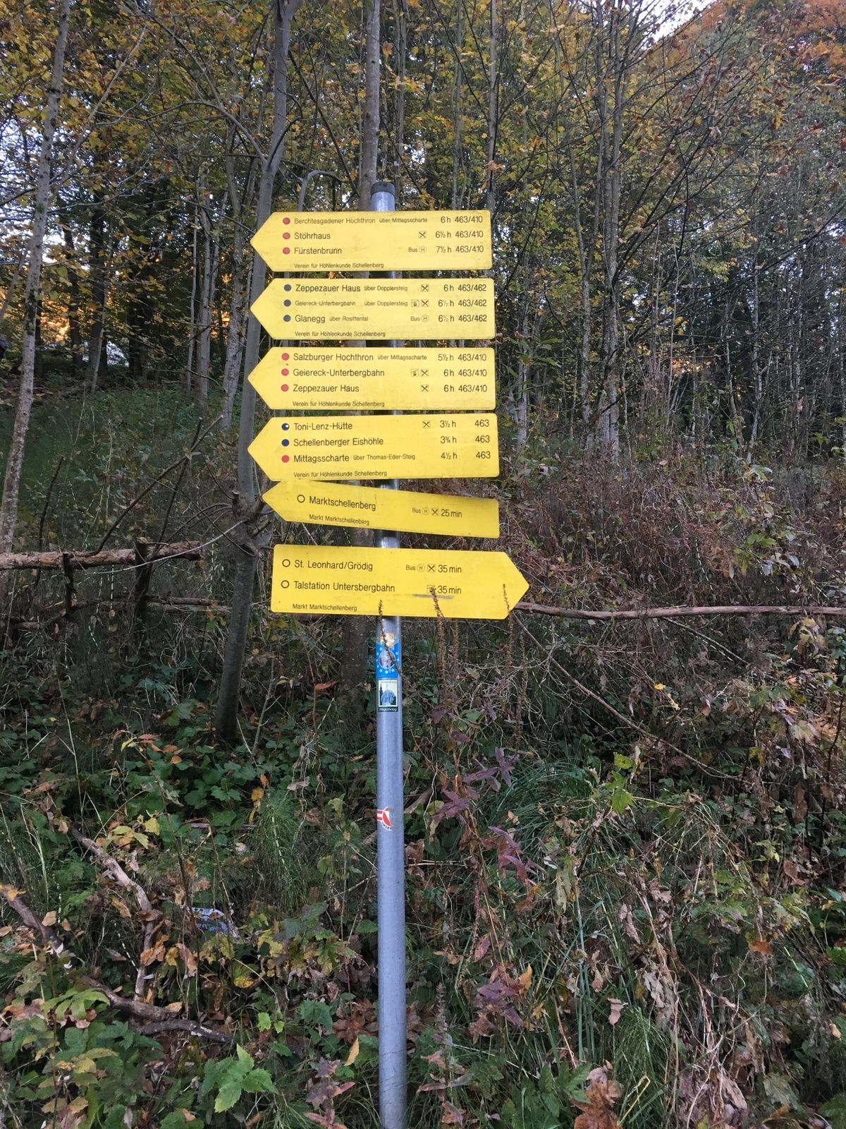
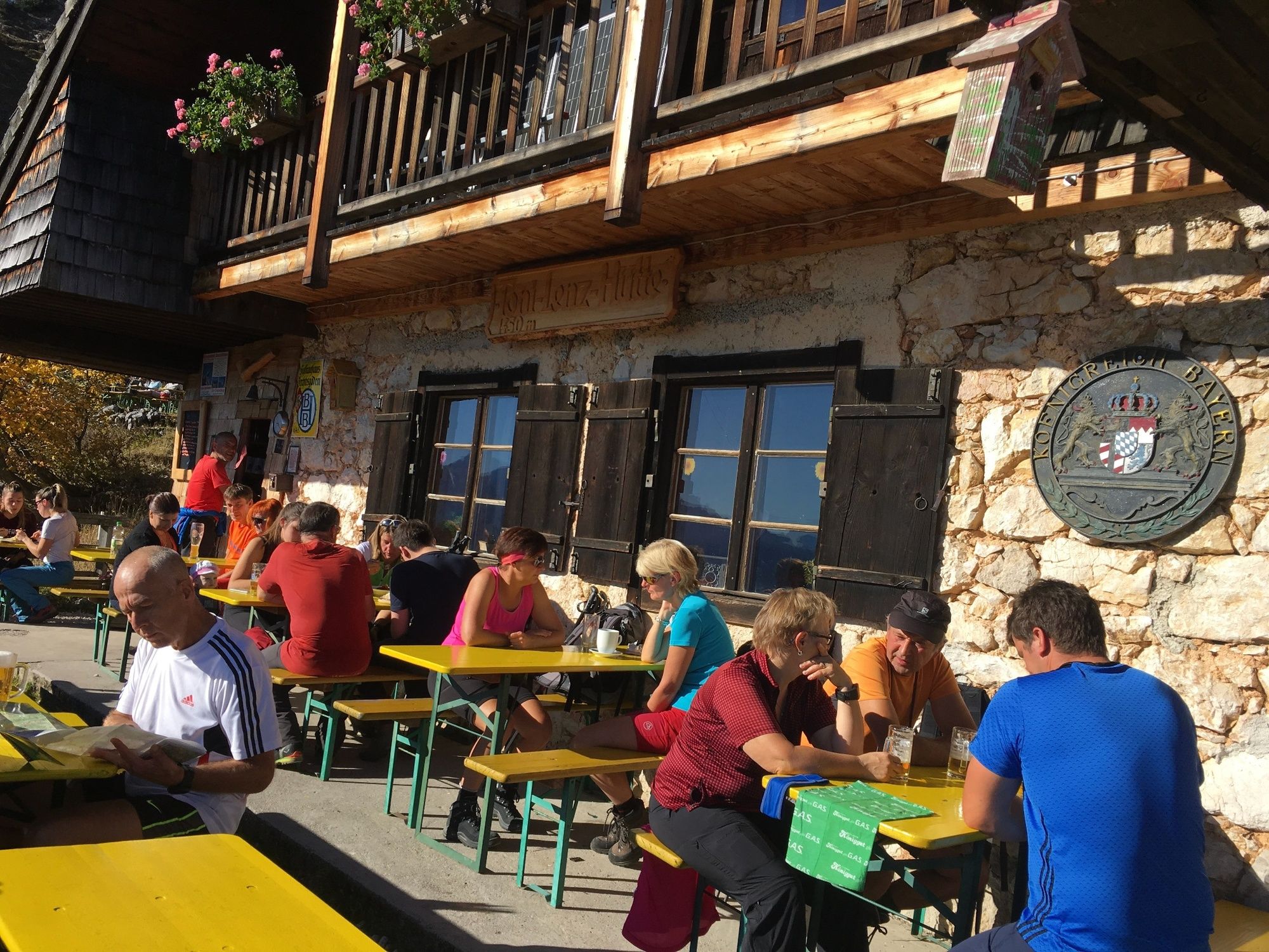
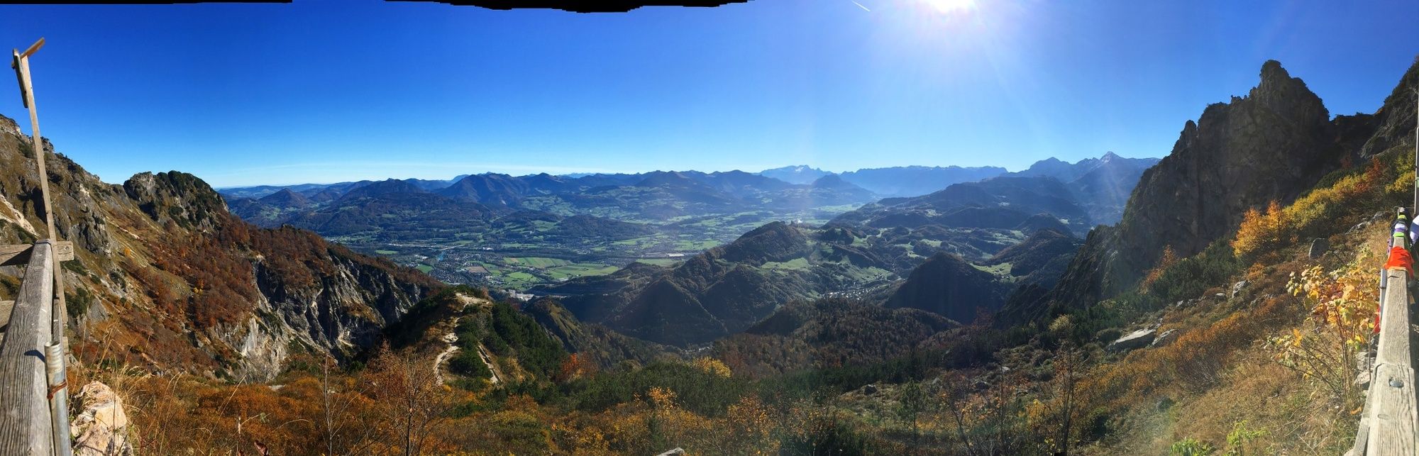
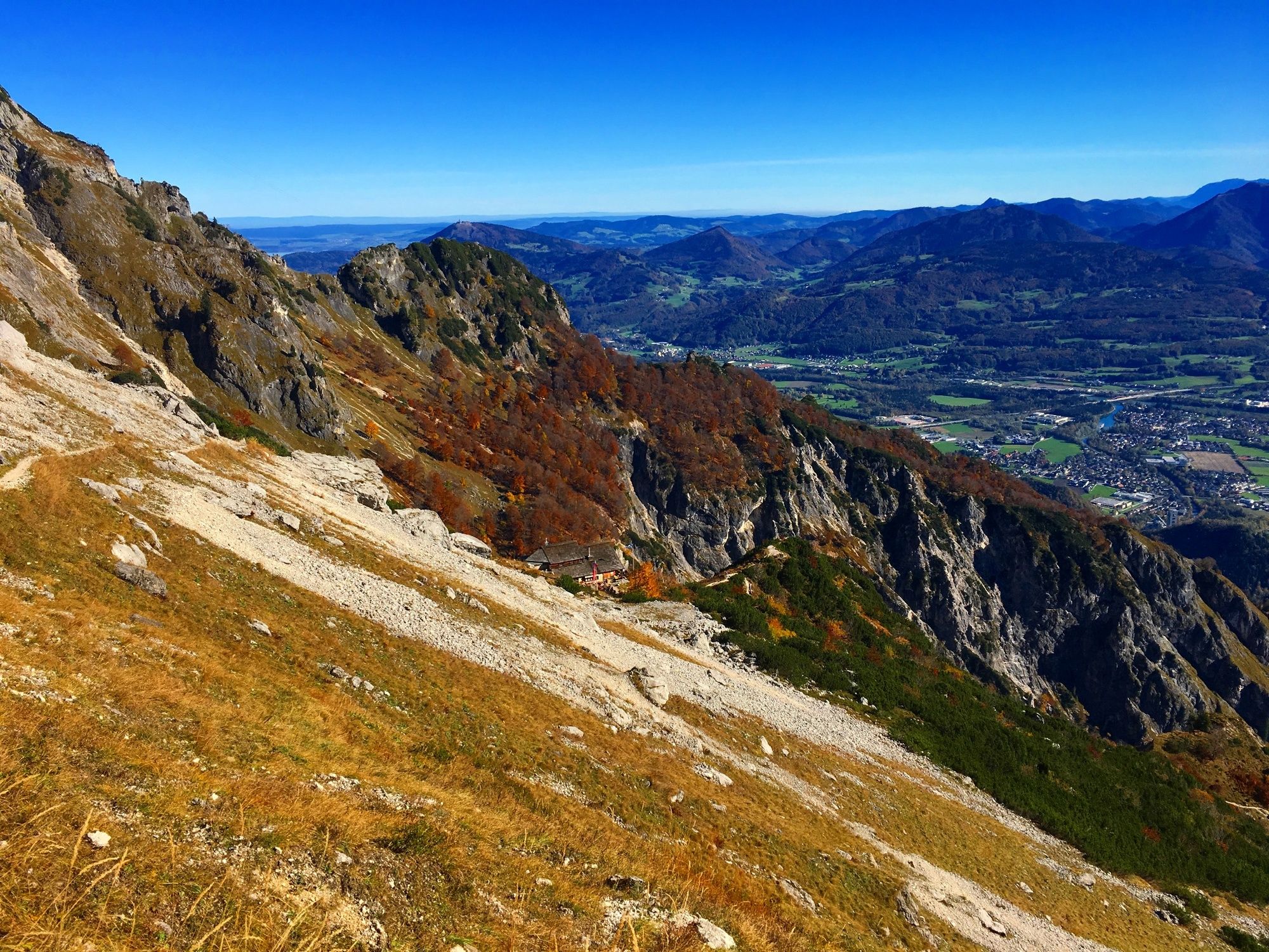
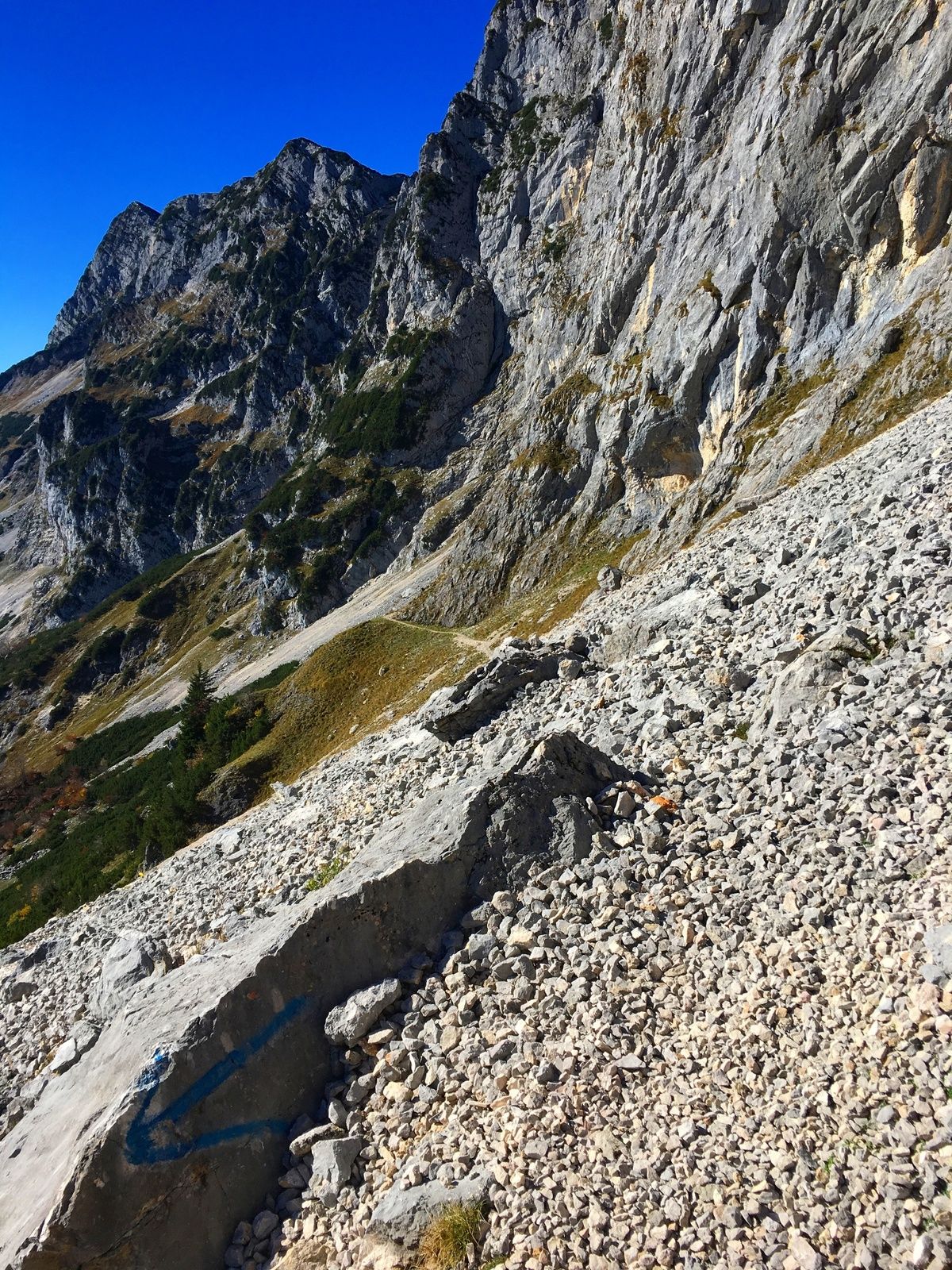
Von Marktschellenberger zur Toni Lenz Hütte über den Thomas Eder Steig zur Mittagsscharte weiter zum Salzburger Hochthron und retour mit der Seilbahn.
- Difficoltà
-
intermedio
- Valutazione
-
- Percorso
-
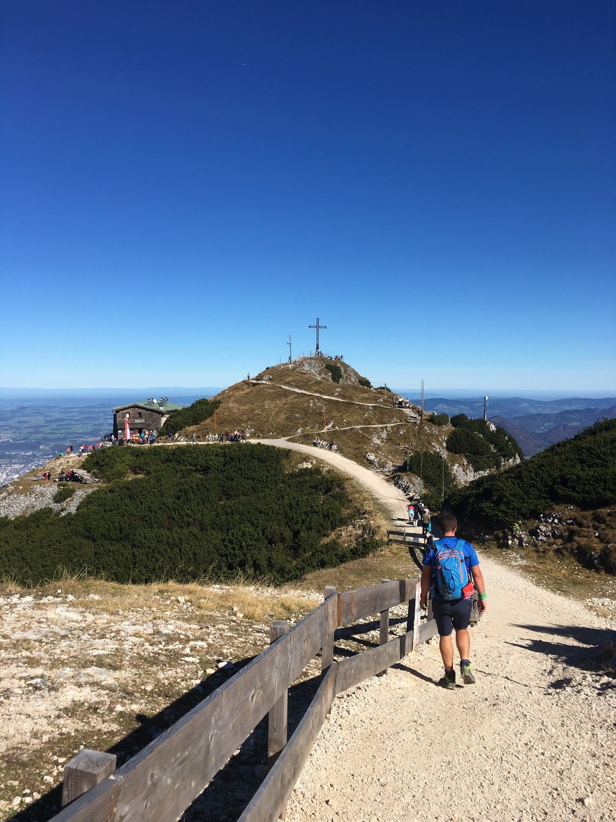
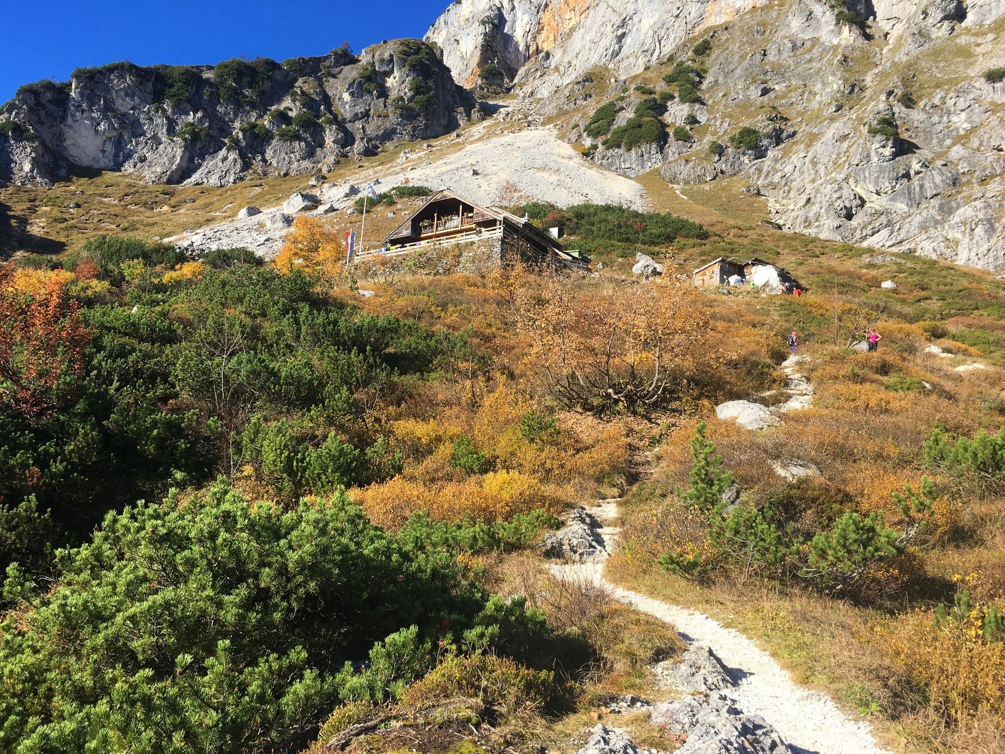
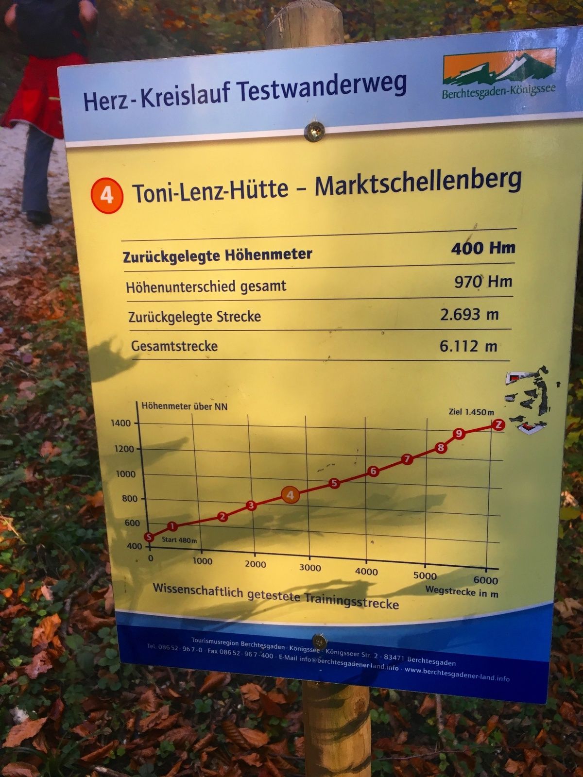
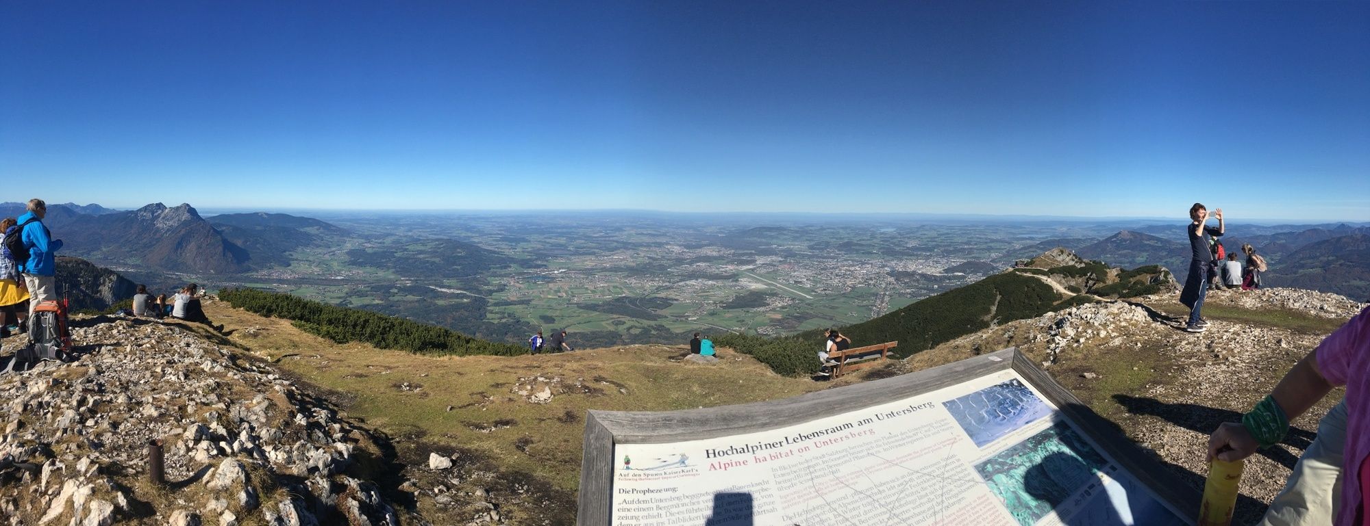
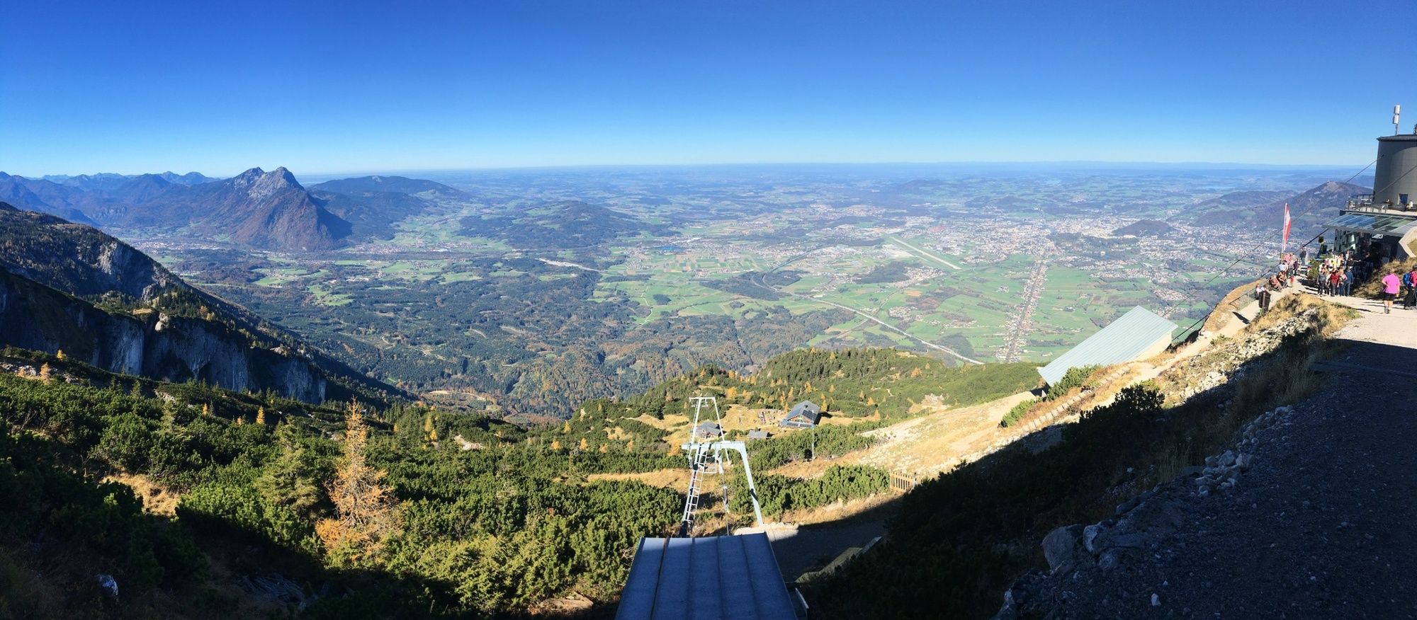
Denkmal5,2 kmToni-Lenz-Hütte6,1 kmMittagsscharte (1.670 m)7,9 kmGroßer Heubergkopf (1.820 m)8,5 kmSalzburger Hochthron (1.853 m)9,1 kmHochalm9,8 kmGeiereck (1.805 m)9,8 kmZeppezauer Bergstation9,8 kmRestaurant Seilbahnstation9,9 km
- La stagione migliore
-
genfebmaraprmaggiulugagosetottnovdic
- Punto più alto
- 1.842 m
- Destinazione
-
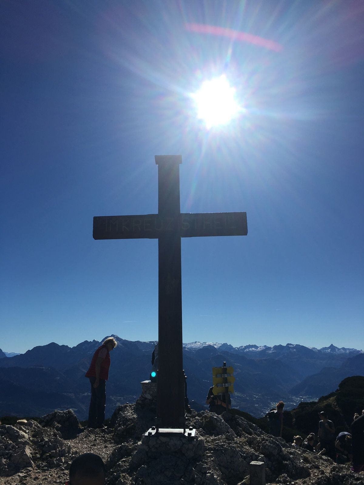
Salzburger Hochthron
- Profilo altimetrico
-
 © outdooractive.com


-

-
AutoreIl tour Untersberg ab Marktschellenberg zum Salzburger Hochthron è utilizzato da outdooractive.com fornito.
GPS Downloads


Info generali
Punto di ristoro
Promettente
Altri tour nelle regioni
-
Berchtesgadener Land
1605
-
Marktschellenberg
602