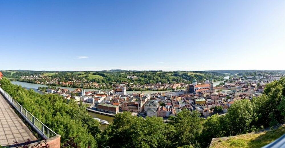
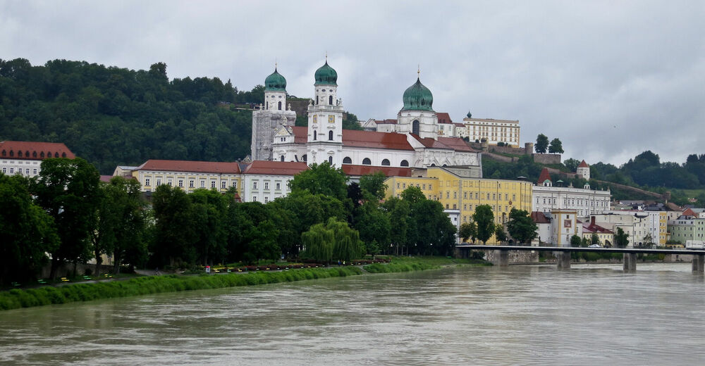
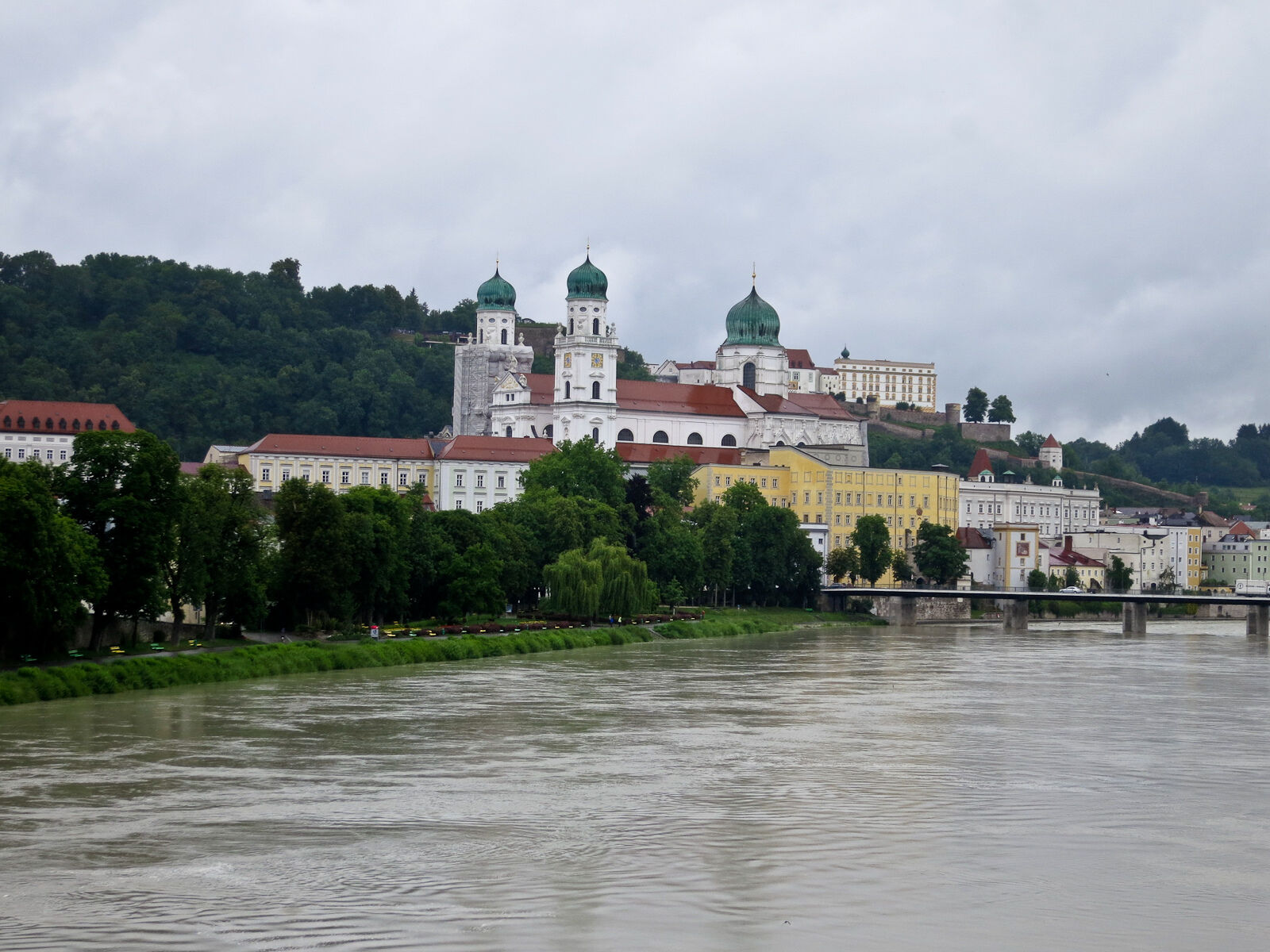
Passau: Town Hiking Trail from Nature to Culture

Escursionismo
© WGD Donau Oberösterreich Tourismus GmbH/Weissenbrunner - Weissenbrunner
© WGD Donau Oberösterreich Tourismus GmbH/Kranzmayr - Andreas Kranzmayr
© WGD Donau Oberösterreich Tourismus/Andreas Kranzmayr - Andreas Kranzmayr

© Donauregion


- Descrizione rapida
-
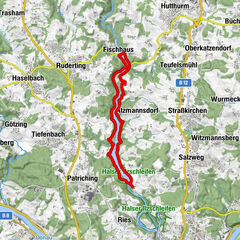
St. Stephansdom - Residenzplatz square – Rathausplatz square - Veste Oberhaus Fortress - Ilz - Hals - Passau
- Difficoltà
-
facile
- Valutazione
-
- Percorso
-
AltstadtWetterpilz0,9 kmPassau (312 m)0,9 kmIlzstadt2,1 kmJägerhof2,6 kmHals4,0 kmHofbauerngut4,1 kmPension zur Brücke4,3 kmAchatiuskirche4,5 kmJägerhof5,2 kmIlzstadt6,1 kmSt. Salvator6,3 kmAltstadt6,7 km
- La stagione migliore
-
genfebmaraprmaggiulugagosetottnovdic
- Punto più alto
- 405 m
- Destinazione
-
Dom St. Stephan
- Profilo altimetrico
-
 © outdooractive.com


- Autore
-
Il tour Passau: Town Hiking Trail from Nature to Culture è utilizzato da outdooractive.com fornito.
GPS Downloads


Info generali
Punto di ristoro
Culturale/Storico
Promettente
Altri tour nelle regioni
-
Passauer Land
160
-
Salzweg
32