Bergwandern am Wasser, Tour 13: Hirschbergtobel-Weg *** Hirschberg / Hindelang

Escursionismo

- Descrizione rapida
-
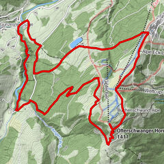
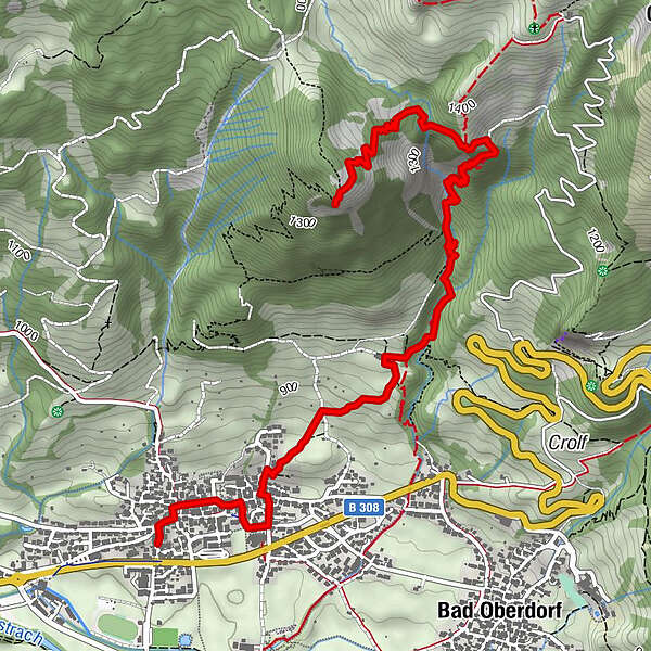
Bad Hindelang – Cafe Polite – Hirschbachtobel –Hirschberg
Dauer: Auf- und Abstieg ca. 4 Stunden
- Percorso
-
Bad Hindelang (825 m)0,3 kmÖlbergkapelle0,4 kmPfarrkirche Johannes der Täufer0,4 kmKalvarienkapelle1,0 kmAussichtspunkt Hirschberg4,7 km
- Punto più alto
- 1.464 m
- Destinazione
-
Hirschberg
- Profilo altimetrico
-
 © outdooractive.com

- Autore
-
Il tour Bergwandern am Wasser, Tour 13: Hirschbergtobel-Weg *** Hirschberg / Hindelang è utilizzato da outdooractive.com fornito.
GPS Downloads


Altri tour nelle regioni
-
Allgäu
2357
-
Alpsee-Grünten
1694
-
Bad Hindelang
415