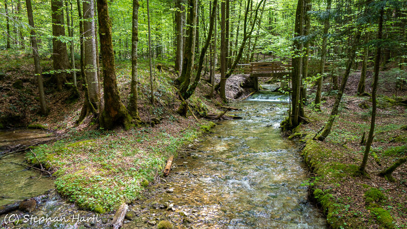
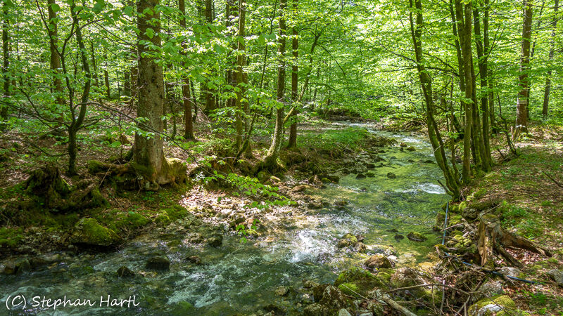
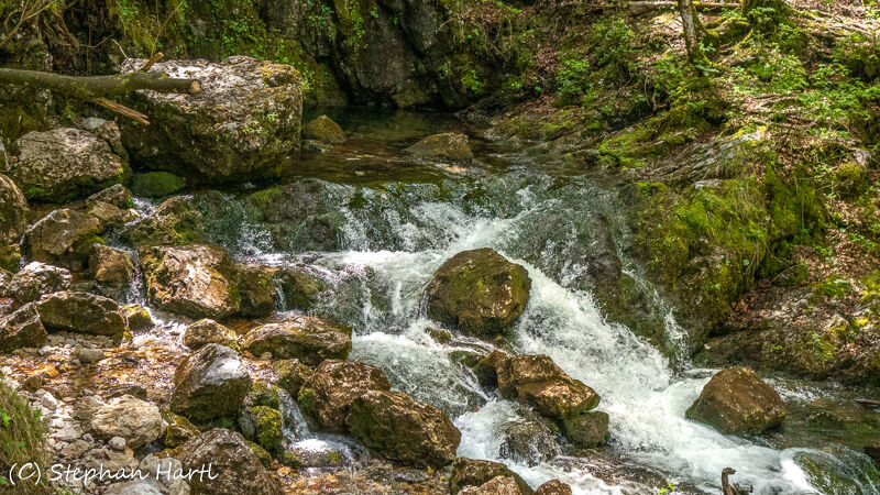
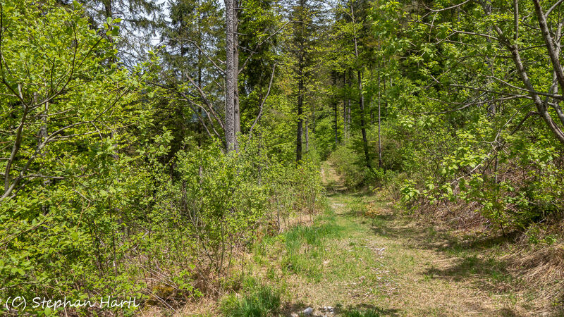
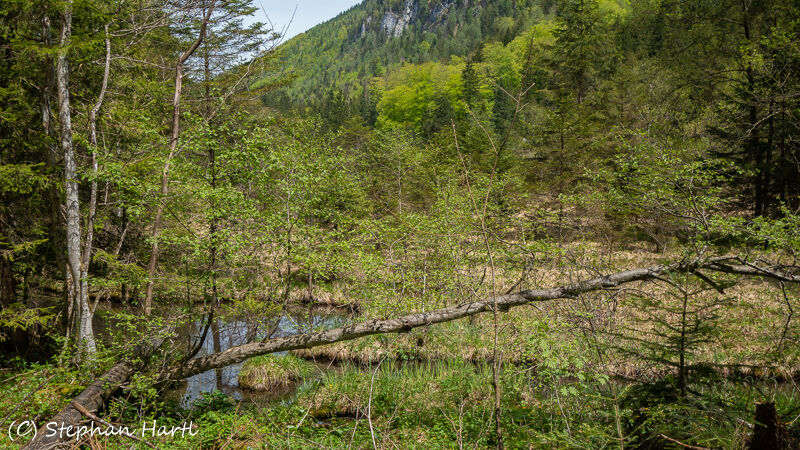
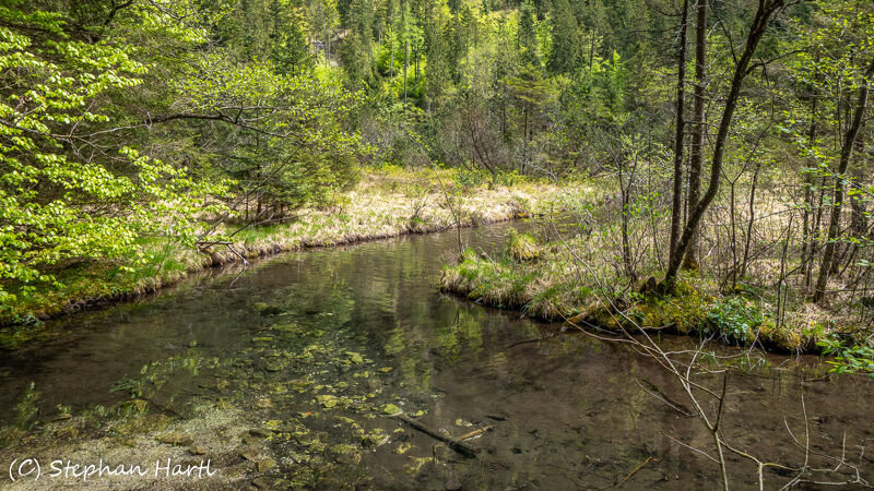
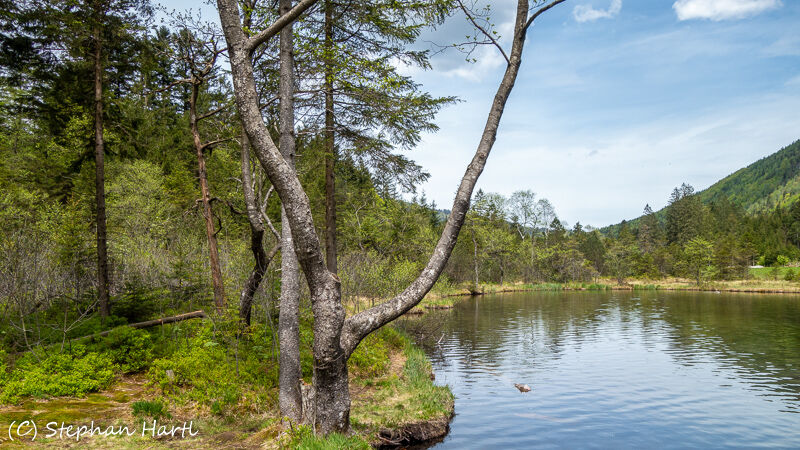
Weißbachquelle und Falkensee Inzell, Bayern

Escursionismo

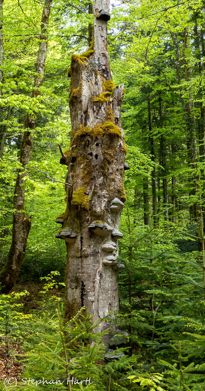
© Stephan Hartl

© Stephan Hartl

© Stephan Hartl

© Stephan Hartl

© Stephan Hartl

© Stephan Hartl

© Stephan Hartl

© Stephan Hartl

© Stephan Hartl

© Stephan Hartl
Dati percorsi
4,04km
708
- 717m
4hm
9hm
01:36h

- Descrizione rapida
-
Gemütliche Wanderung entlang des Weißbaches zur Quelle und weiter zum Falkensee
- Difficoltà
-
facile
- Valutazione
-
- Punto di partenza
-
Parkplatz Café Zwing
- Percorso
-
Quelle Weissbach1,1 km
- La stagione migliore
-
genfebmaraprmaggiulugagosetottnovdic
- Punto più alto
- 717 m
- Destinazione
-
Parkplatz Café Zwing
- Riposo/Ritiro
-
Café Zwing


GPS Downloads


Altri tour nelle regioni
-
Chiemgau - Chiemsee
1305
-
Inzell
442