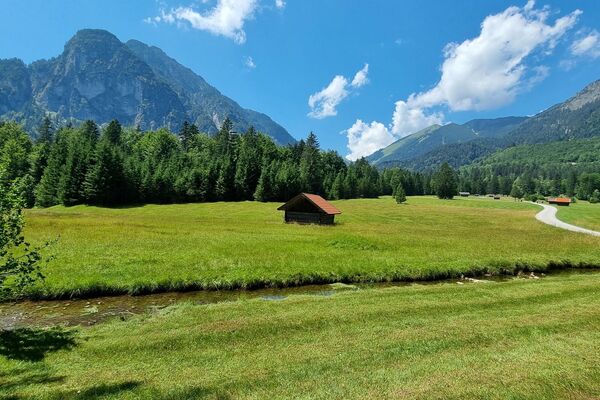
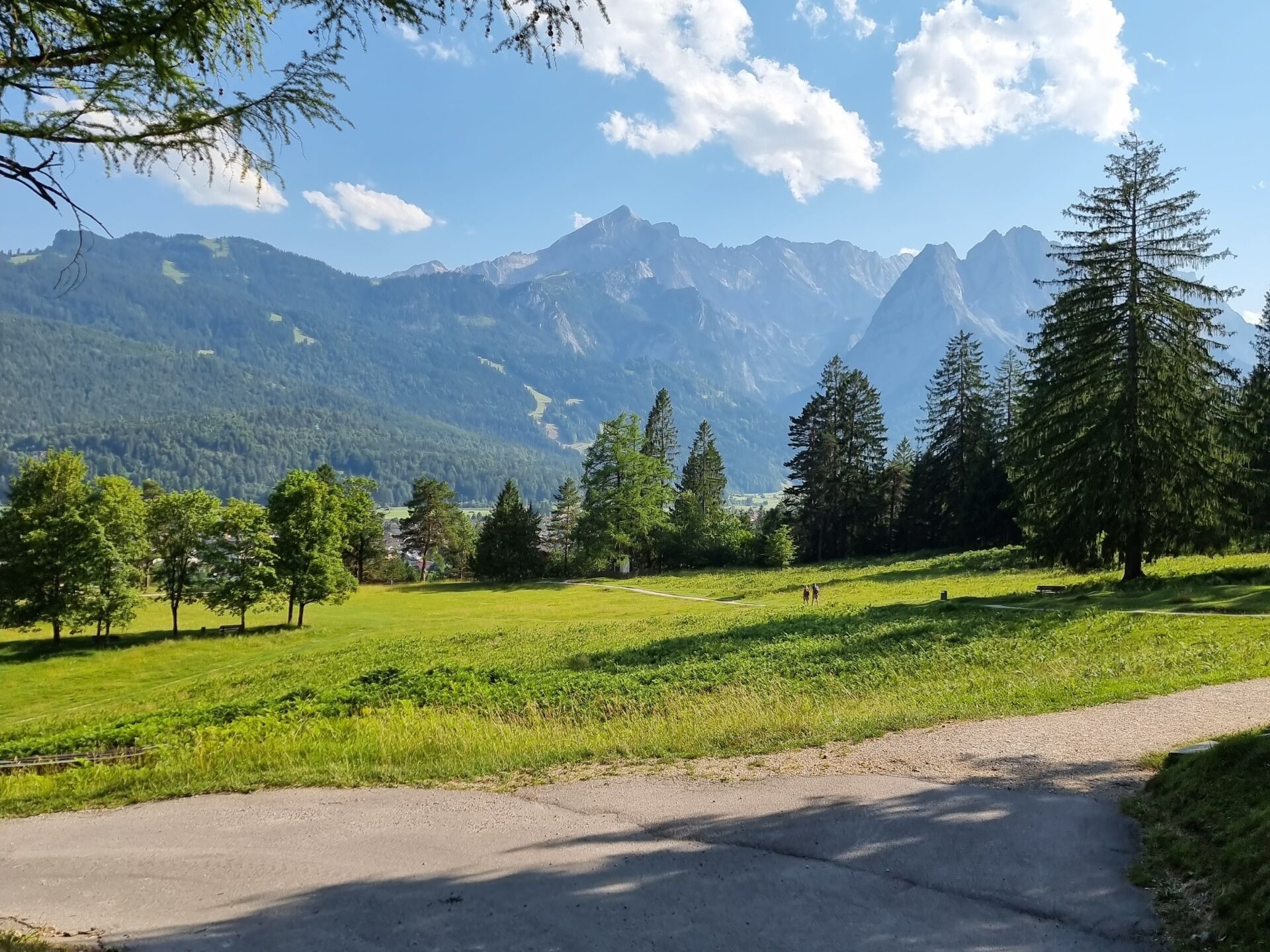
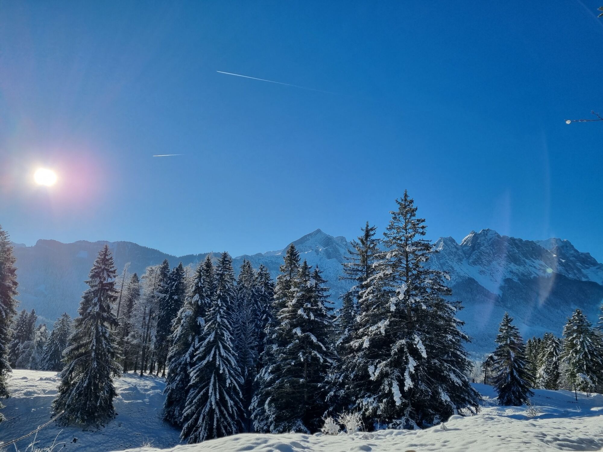
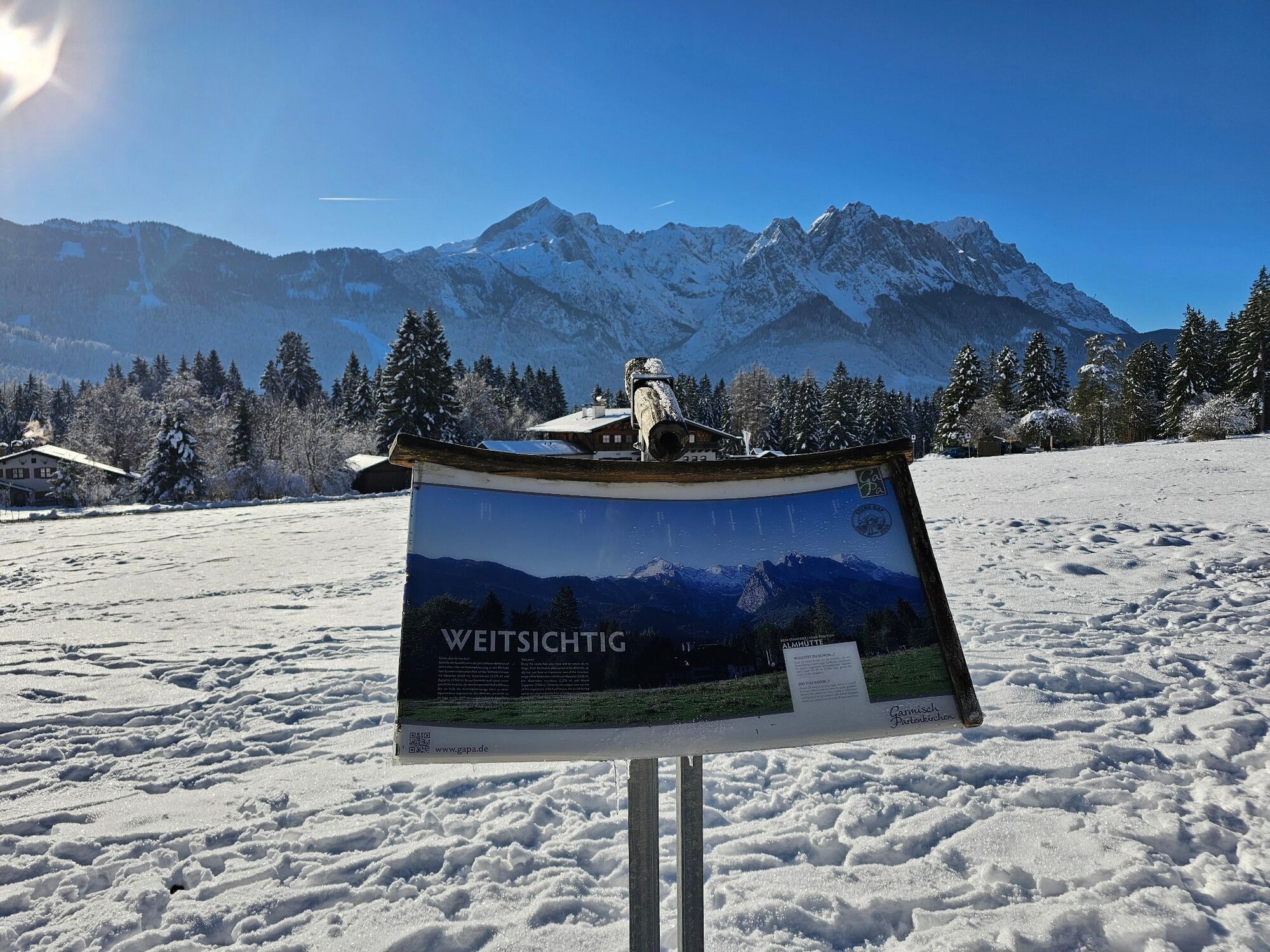
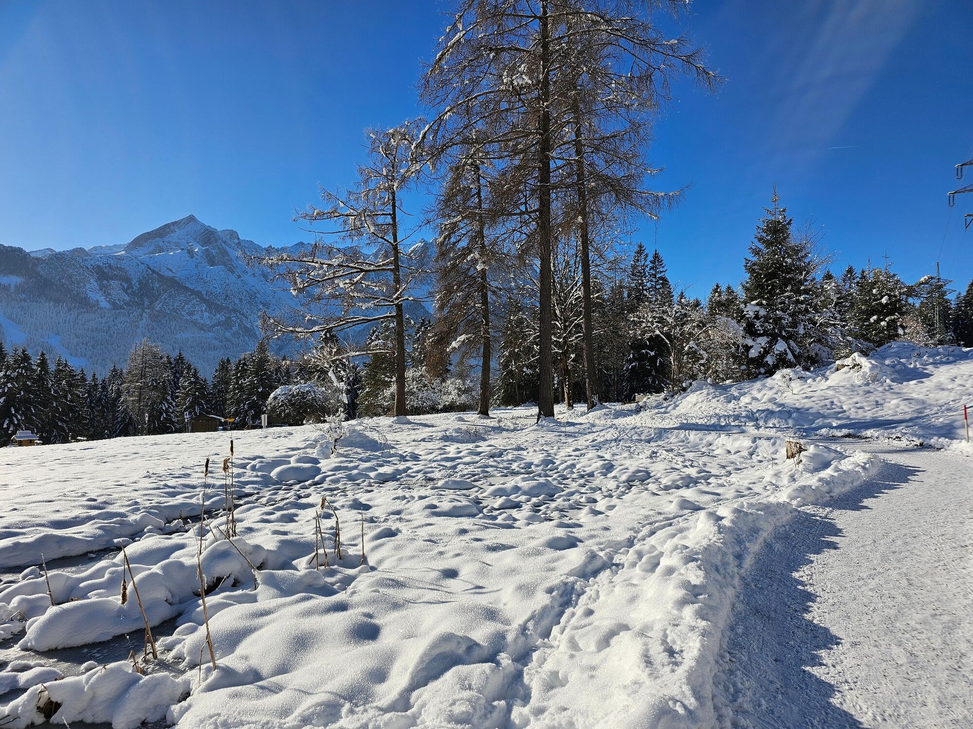
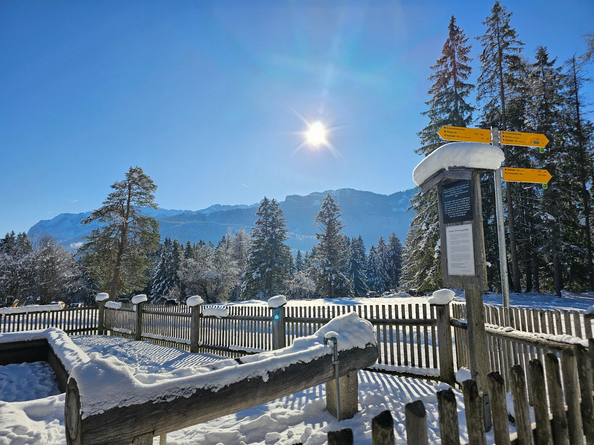
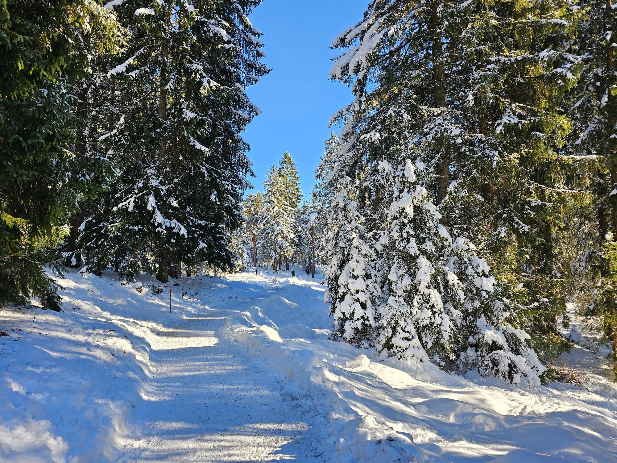
Above Garmisch-Partenkirchen on the Kramerplateau trail

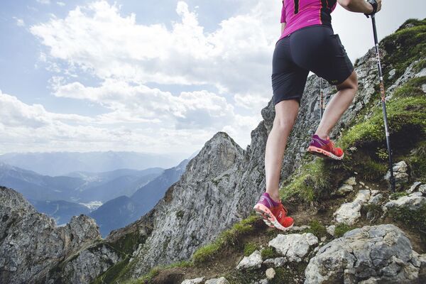
Trailrunning

© GaPa Tourismus GmbH - Annika Hack

© GaPa Tourismus GmbH - Maja Güldner

© GaPa Tourismus GmbH - Annika Hack

© GaPa Tourismus GmbH - Annika Hack

© GaPa Tourismus GmbH - Annika Hack

© GaPa Tourismus GmbH - Annika Hack

© GaPa Tourismus GmbH - Annika Hack


- Descrizione rapida
-
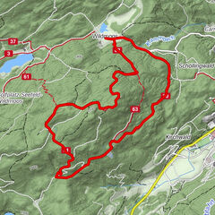
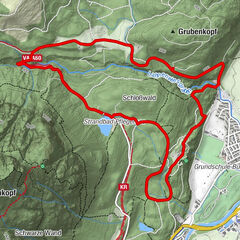
Beautiful panoramic trail at the foot of the Kramer on well-maintained paths without major inclines. There are numerous opportunities to shorten the tour with various descent options.
- Difficoltà
-
intermedio
- Valutazione
-
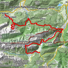
- Percorso
-
Garmisch-Partenkirchen (708 m)Blick auf Zugspitzmassiv1,0 kmGarmisch1,1 kmAlmhütte - Windbeutelalm4,0 kmKriegergedächtniskapelle6,0 km
- La stagione migliore
-
genfebmaraprmaggiulugagosetottnovdic
- Punto più alto
- 798 m
- Destinazione
-
Loisachbrücke / Wittelsbacher Park car park
- Profilo altimetrico
-
 © outdooractive.com

- Autore
-
Il tour Above Garmisch-Partenkirchen on the Kramerplateau trail è utilizzato da outdooractive.com fornito.
GPS Downloads


Altri tour nelle regioni