© Chiemsee-Alpenland - Michael Fichtner
- Descrizione rapida
-
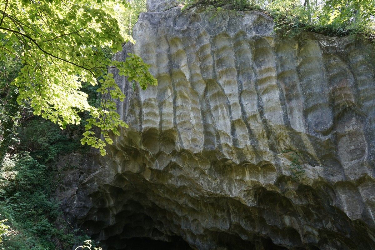
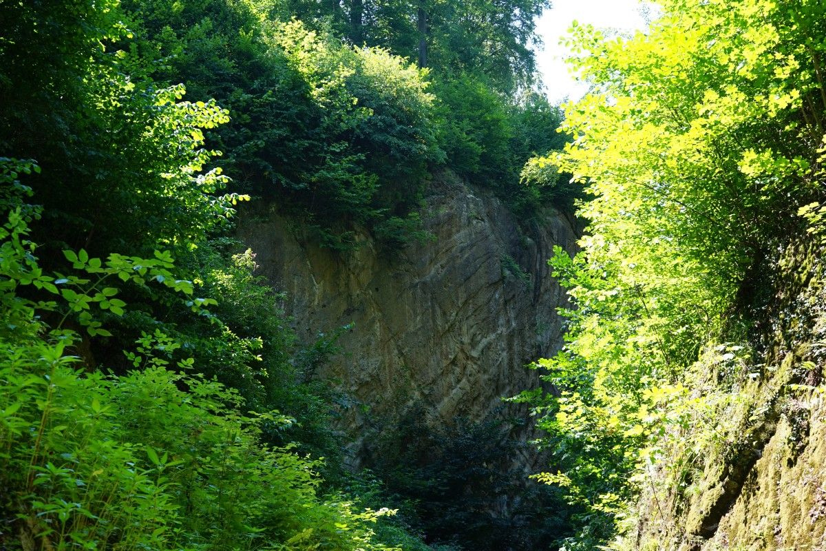
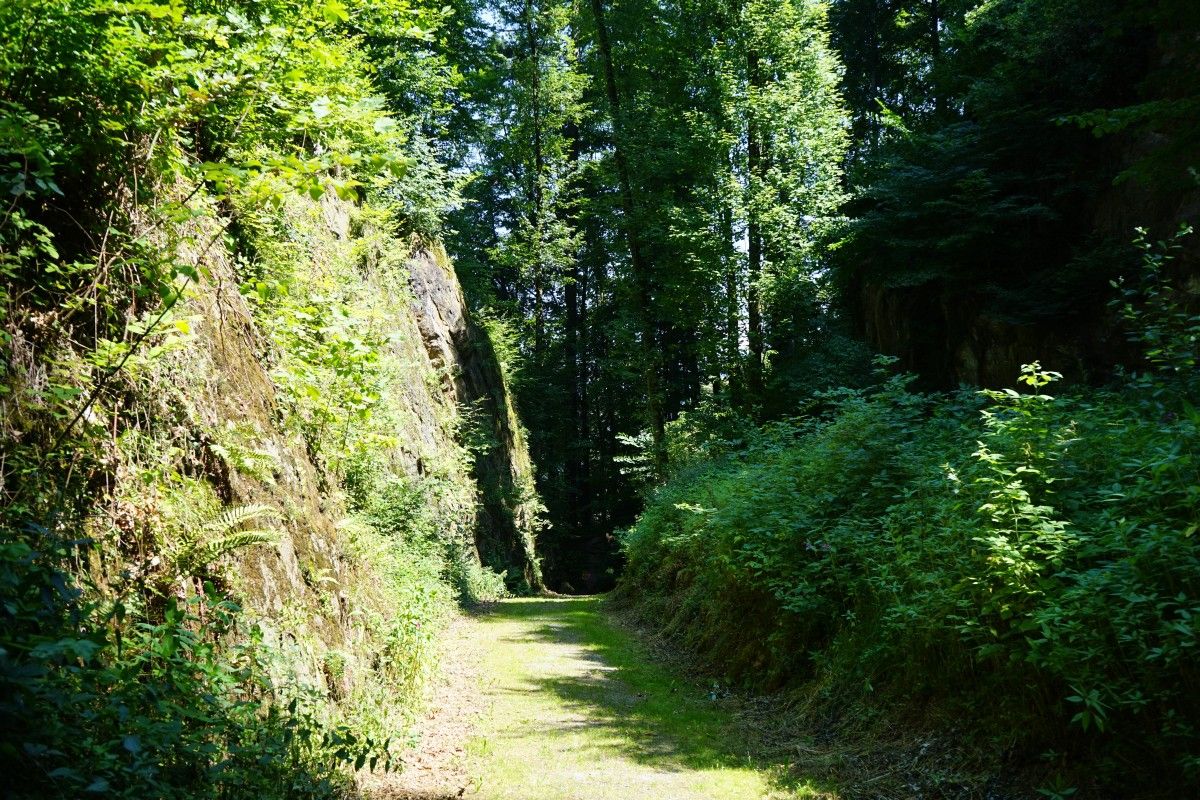
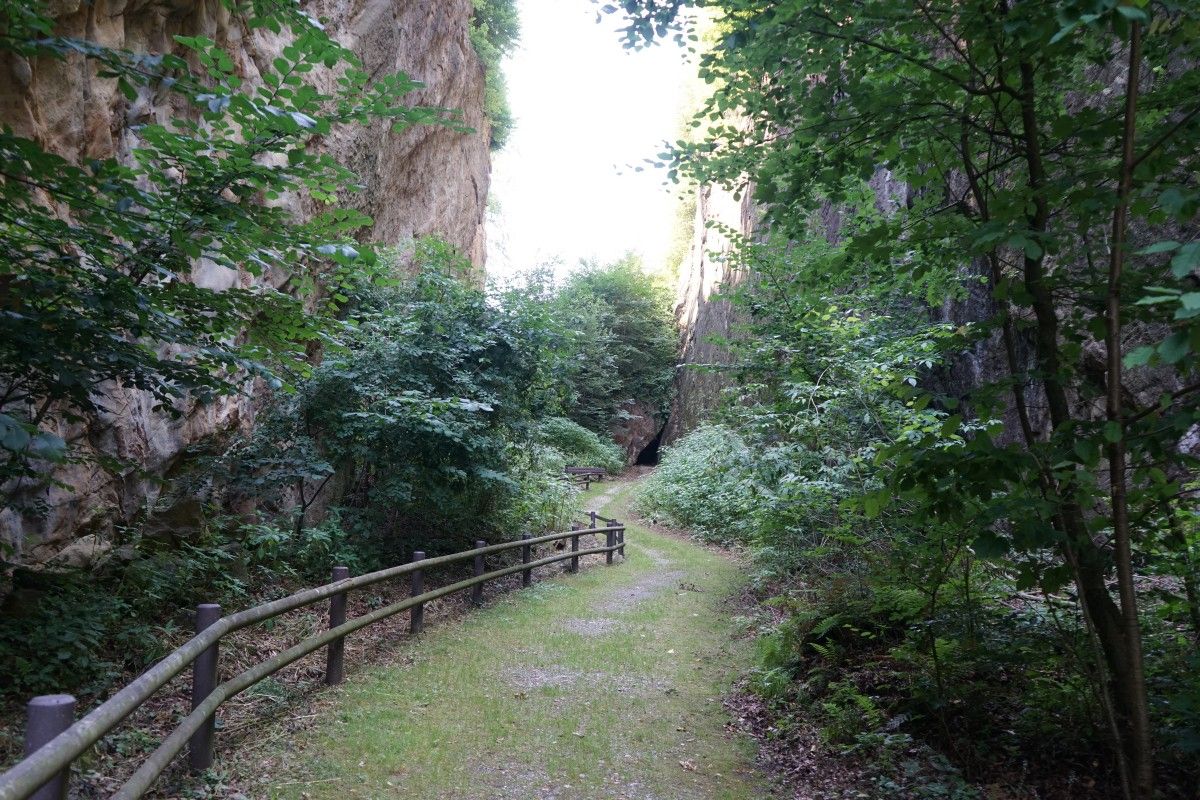
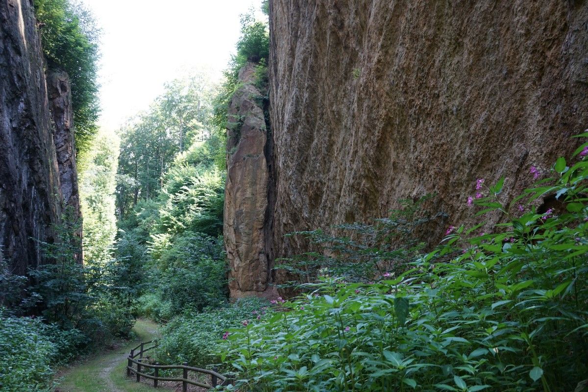
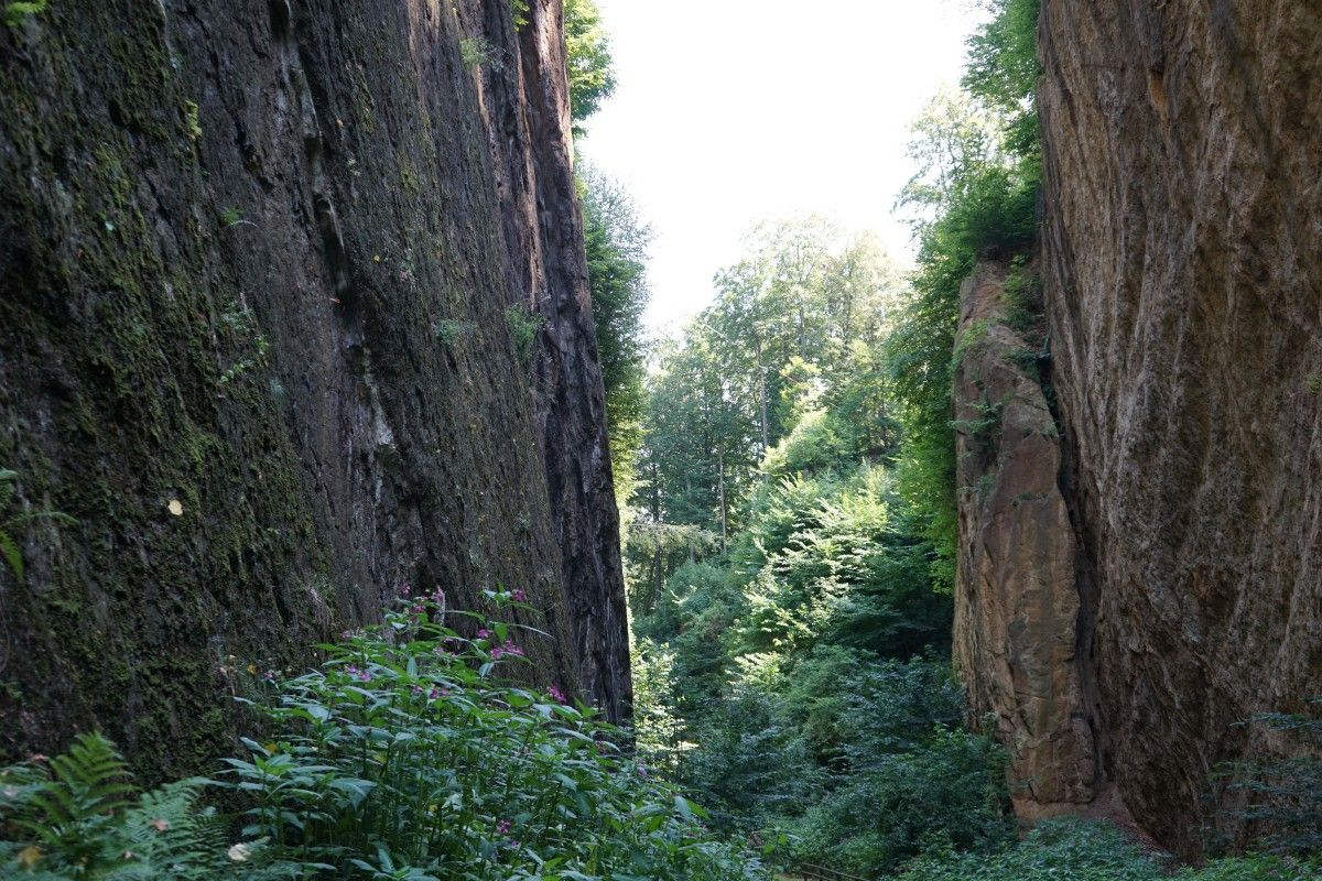
Neben dem Landschaftserlebnis mit sichtbaren Spuren der Innschifffahrt dürfen Sie sich auf viele interessante kulturgeschichtliche Informationen freuen.
- Difficoltà
-
facile
- Valutazione
-
- Percorso
-
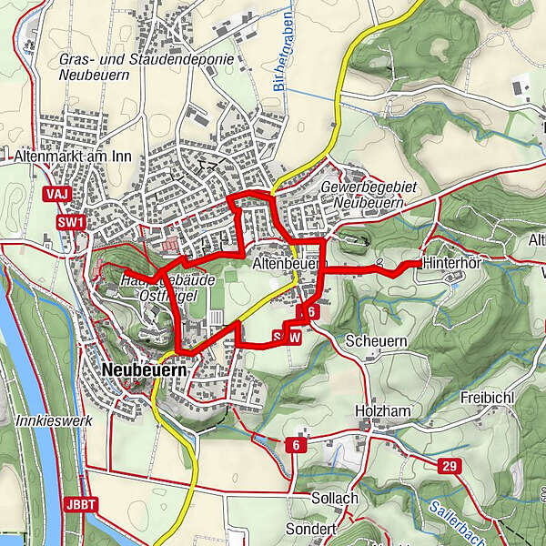
Neubeuern0,1 kmWagnerkapelle (473 m)0,3 kmAltenbeuern1,0 kmDreifaltigkeitskirche1,1 kmHinterhör1,6 kmLangweid2,6 kmFröschental2,6 km
- La stagione migliore
-
genfebmaraprmaggiulugagosetottnovdic
- Punto più alto
- 535 m
- Destinazione
-
Gemeindeparkplatz (P1) am Rathaus, Schlossstr. 4
- Profilo altimetrico
-
 © outdooractive.com
- Autore
-
Il tour Schiffleutwanderweg Etappe 2 è utilizzato da outdooractive.com fornito.
GPS Downloads


Info generali
Punto di ristoro
Altri tour nelle regioni
-
Region Simssee
1070
-
Neubeuern
458