© Gemeinde Rimsting

© Gemeinde Rimsting, Klaus Horack - Klaus Horack

© Gemeinde Rimsting, Klaus Horack - Klaus Horack

© Gemeinde Rimsting, Klaus Horack - Klaus Horack

© Gemeinde Rimsting, Klaus Horack - Klaus Horack

© Gemeinde Rimsting, Klaus Horack - Klaus Horack

© Gemeinde Rimsting, Klaus Horack - Klaus Horack

© Gemeinde Rimsting, Klaus Horack - Klaus Horack

© Gemeinde Rimsting, Klaus Horack - Klaus Horack

© Gemeinde Rimsting, Klaus Horack - Klaus Horack
- Descrizione rapida
-
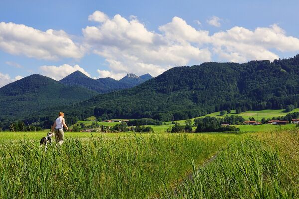
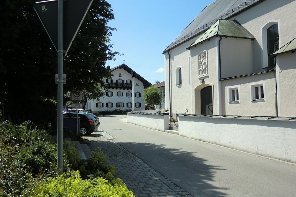
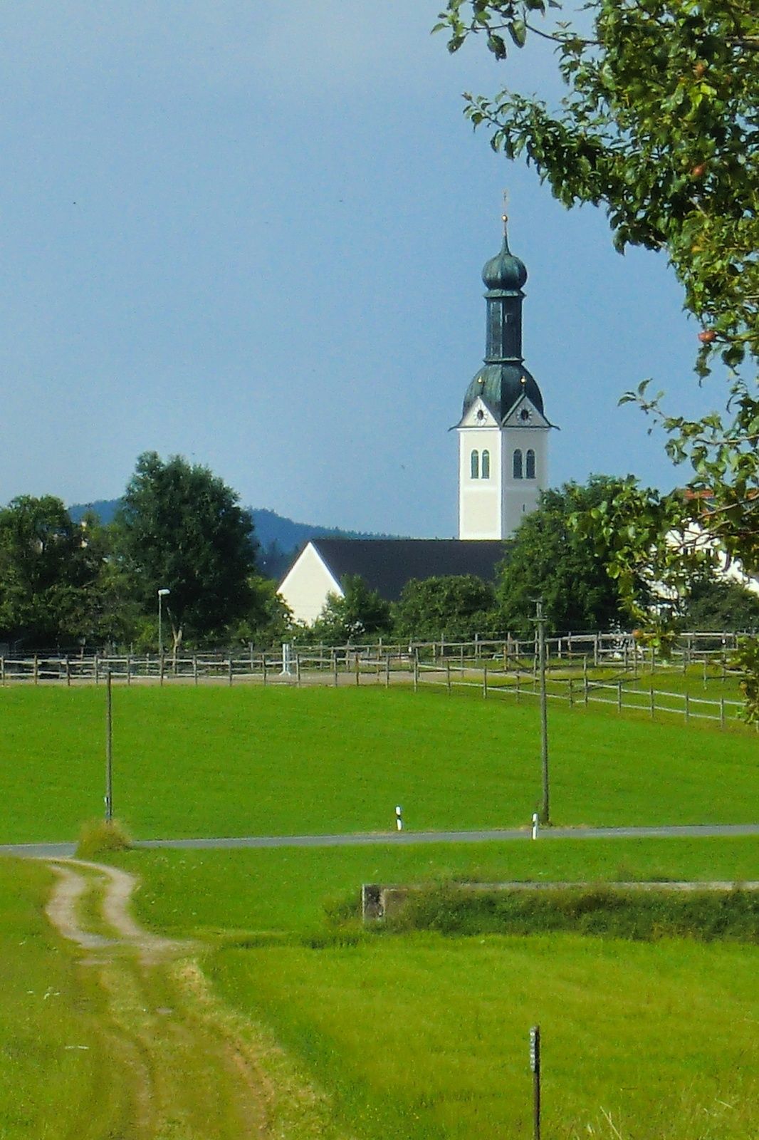
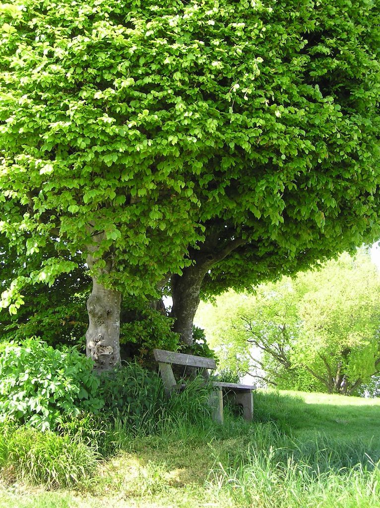
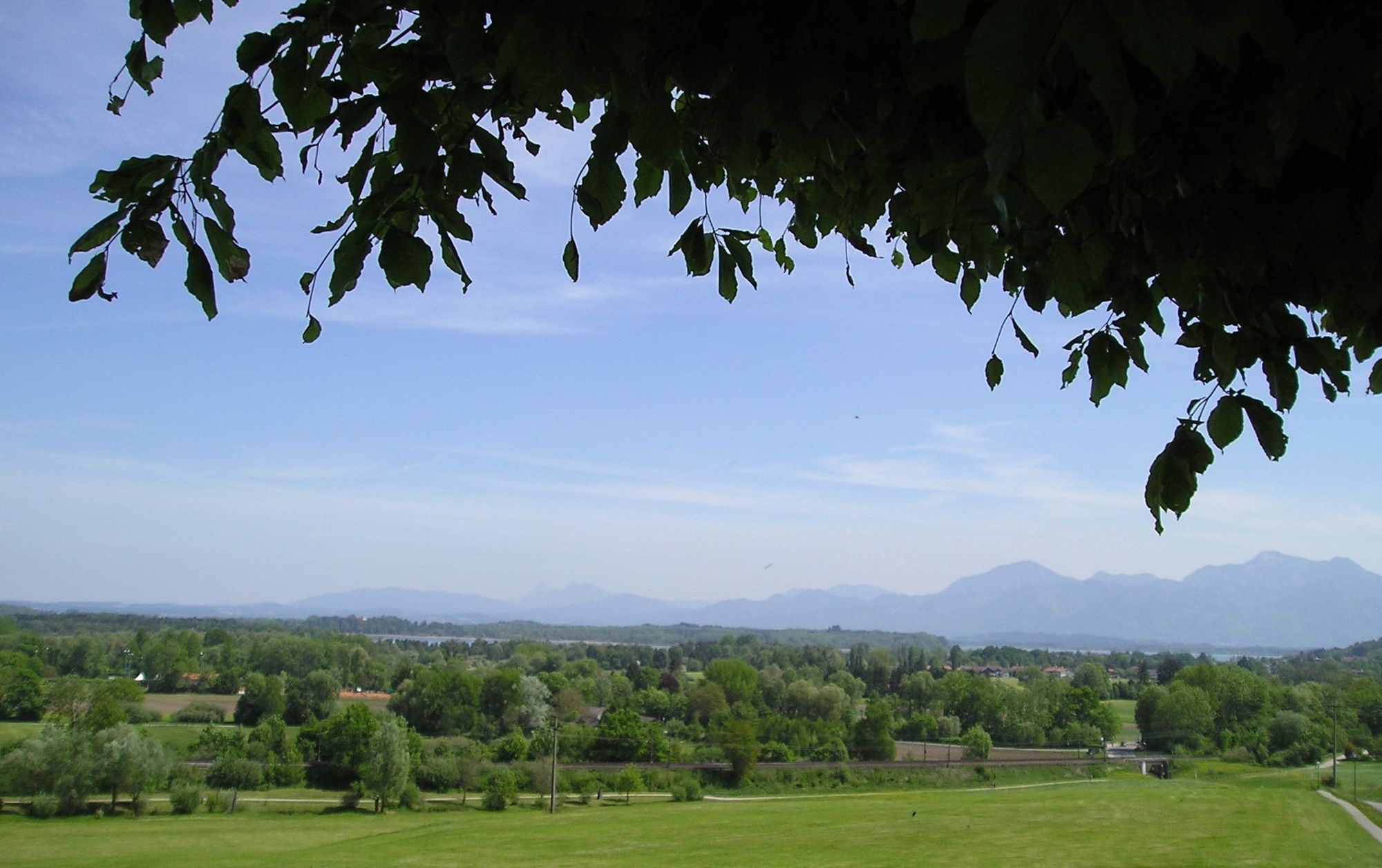
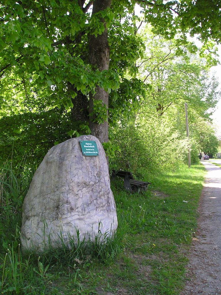
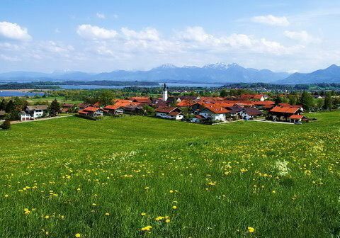
Abwechslungsreicher Rundweg durch das Dorf Rimsting und seiner Strandanlage am Chiemsee...
- Difficoltà
-
facile
- Valutazione
-
- Percorso
-
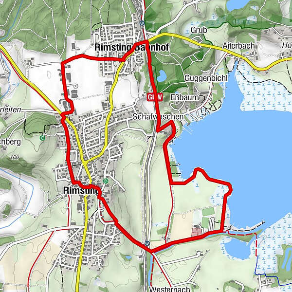
Rimsting0,1 kmSankt Nikolaus0,1 kmKiosk Strandanlage1,6 kmEßbaum3,3 kmSchafwaschen3,4 kmRimsting Bahnhof4,4 km
- La stagione migliore
-
genfebmaraprmaggiulugagosetottnovdic
- Punto più alto
- 575 m
- Destinazione
-
Parkplatz an der Rimstinger Kirche (Fischbrunnen)
- Profilo altimetrico
-
 © outdooractive.com


- Autore
-
Il tour Rundweg zum Chiemsee è utilizzato da outdooractive.com fornito.
GPS Downloads


Info generali
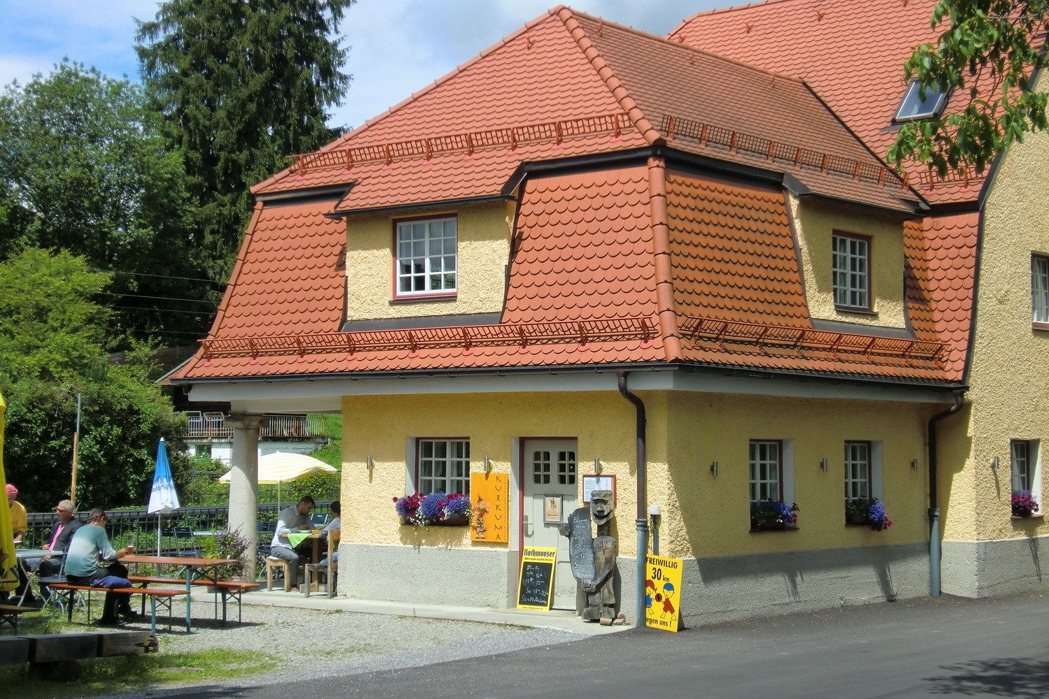
Punto di ristoro
Promettente
Altri tour nelle regioni
-
Region Simssee
1070
-
Rimsting am Chiemsee
243