© Allgäuer Seenland - Robert Mayer

- Descrizione rapida
-
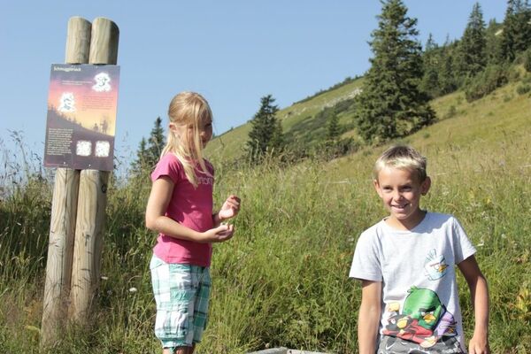
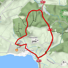
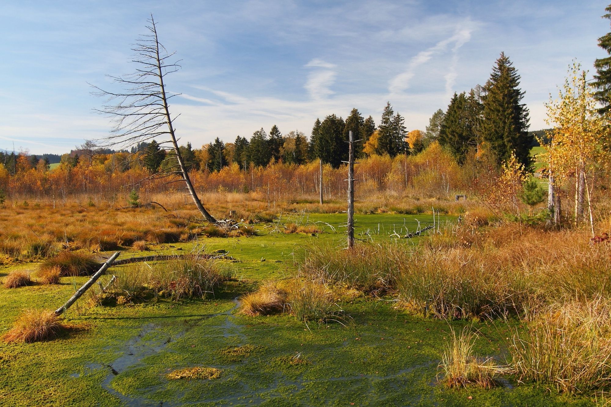
Dieser Rundweg führt durch das Moorgebiet Werdensteiner Moos. Info- und Mitmachtafeln, Aussichtsturm, Barfußpfad und kleine Wissensspiele am Wegesrand runden das Naturerlebnis ab.
- Difficoltà
-
facile
- Valutazione
-
- Percorso
-
Thanners3,7 km
- La stagione migliore
-
genfebmaraprmaggiulugagosetottnovdic
- Punto più alto
- 713 m
- Destinazione
-
Parkplatz Werdensteiner Moor
- Profilo altimetrico
-
 © outdooractive.com
- Autore
-
Il tour Rundweg im Werdensteiner Moos è utilizzato da outdooractive.com fornito.
GPS Downloads


Info generali
Flora
Fauna
Altri tour nelle regioni
-
Allgäu
2367
-
Oberallgäu
1584
-
Rettenberg
379