© Alpenregion Tegernsee Schliersee - Dietmar Denger

© Alpenregion Tegernsee Schliersee - Dietmar Denger

© Alpenregion Tegernsee Schliersee - Dietmar Denger

© Alpenregion Tegernsee Schliersee - Amelie Schauer

© Alpenregion Tegernsee Schliersee - Dietmar Denger

© Alpenregion Tegernsee Schliersee - Dietmar Denger

© Alpenregion Tegernsee Schliersee - Dietmar Denger

© Alpenregion Tegernsee Schliersee - Dietmar Denger

- Descrizione rapida
-
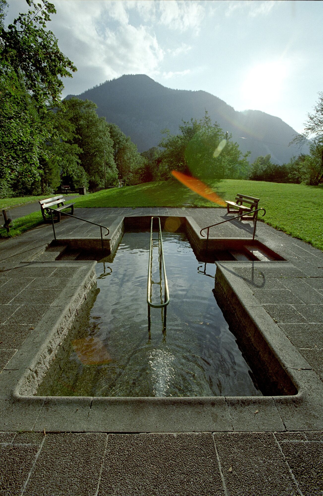
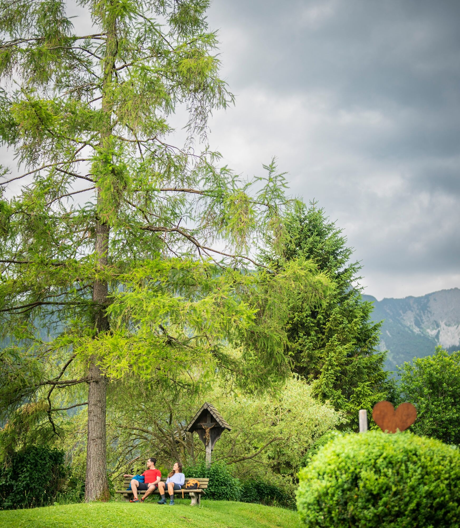
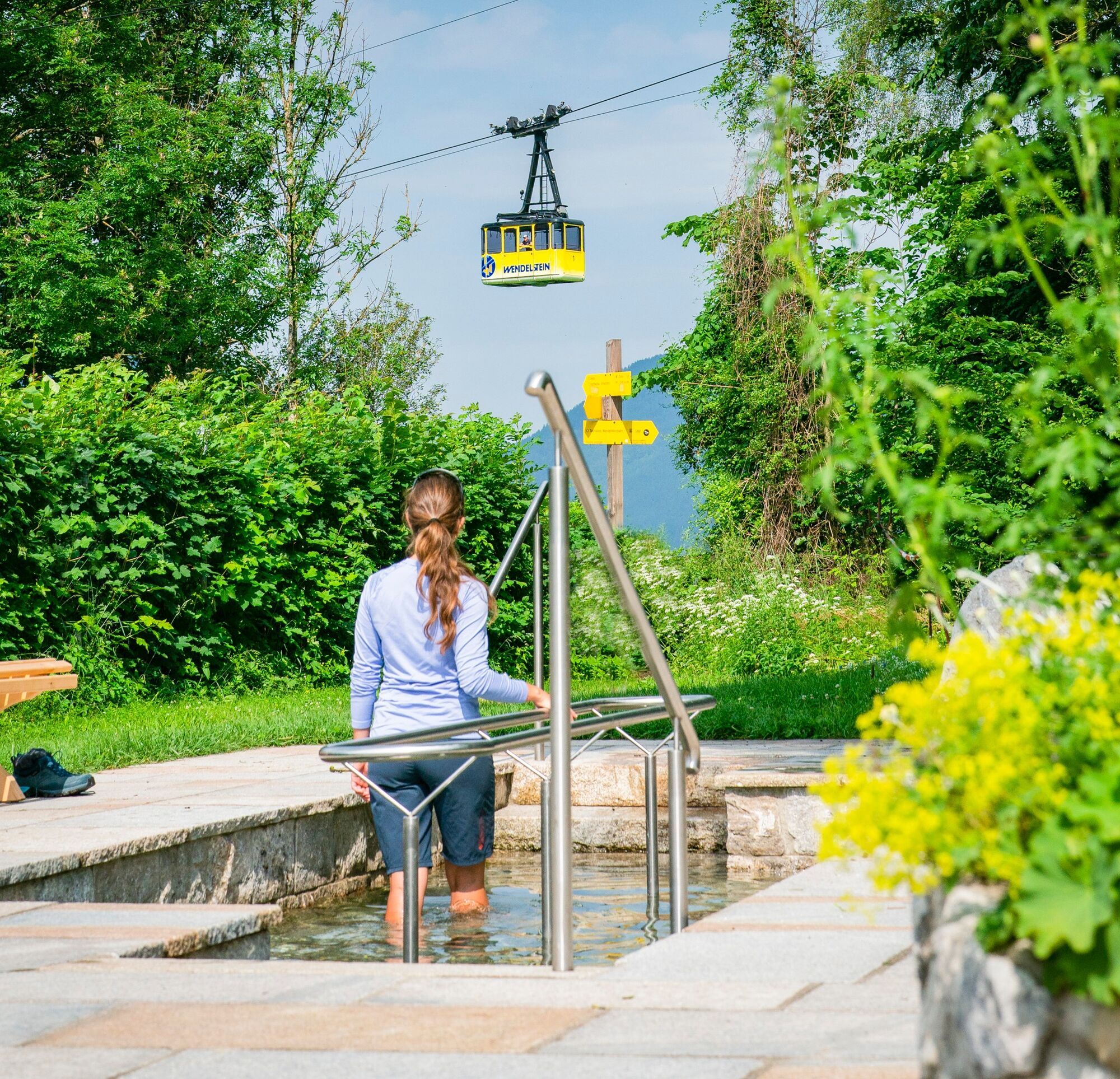
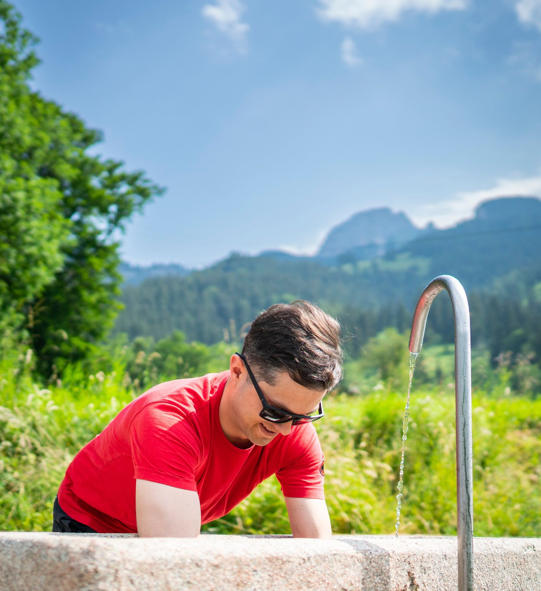
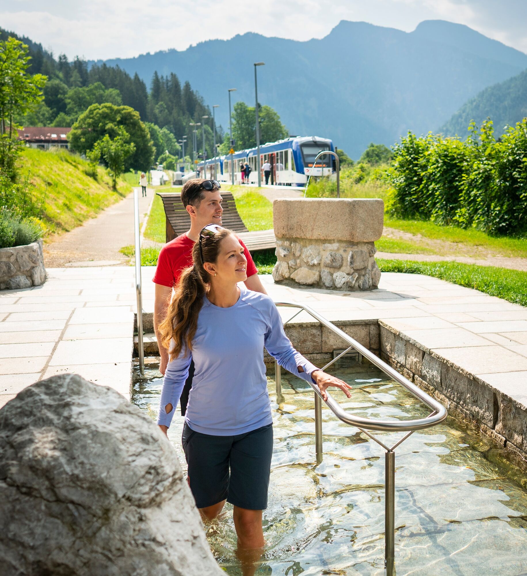
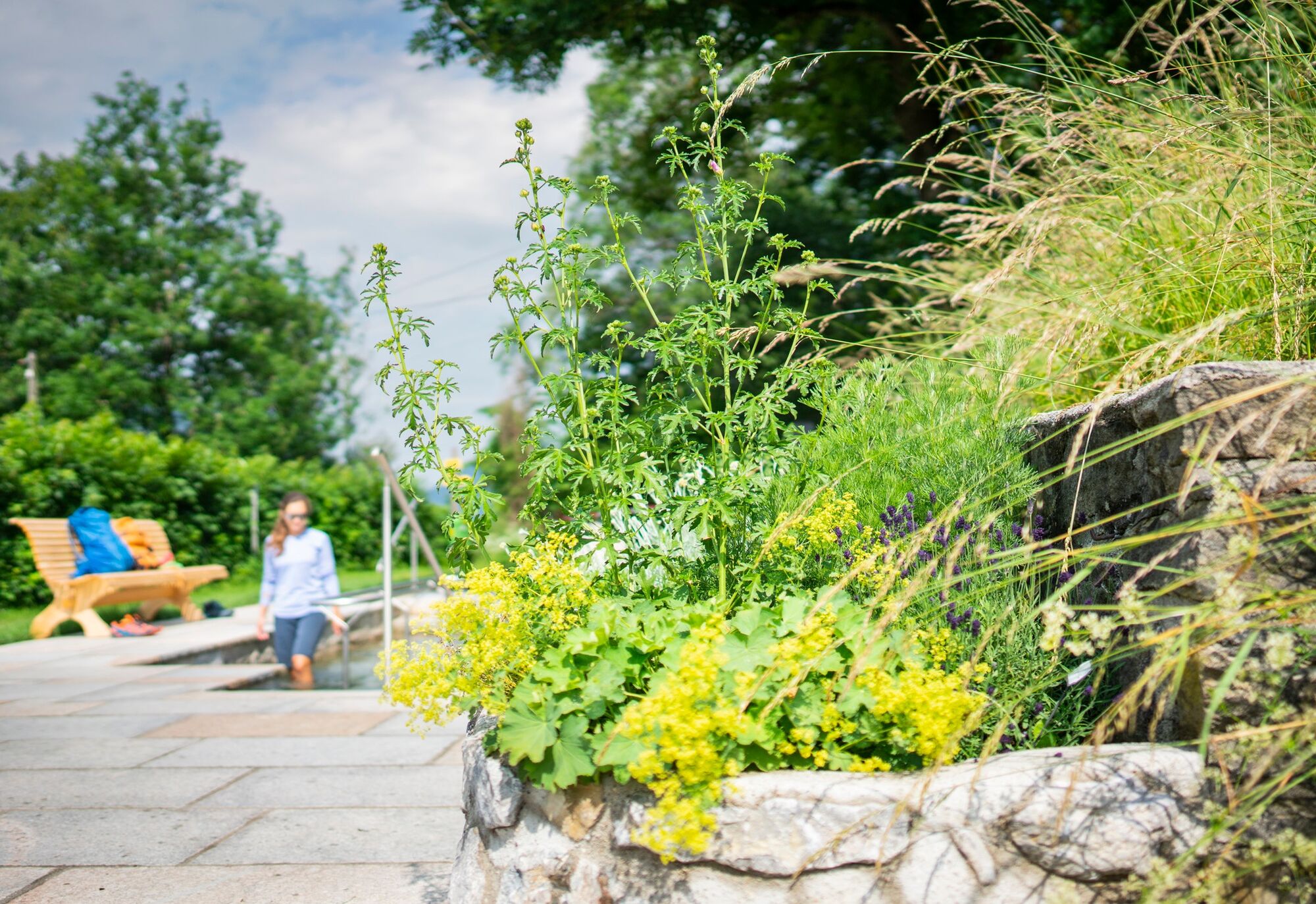
Eine schöne Tour nicht nur für Gesundheitsbewusste
- Difficoltà
-
facile
- Valutazione
-
- Percorso
-
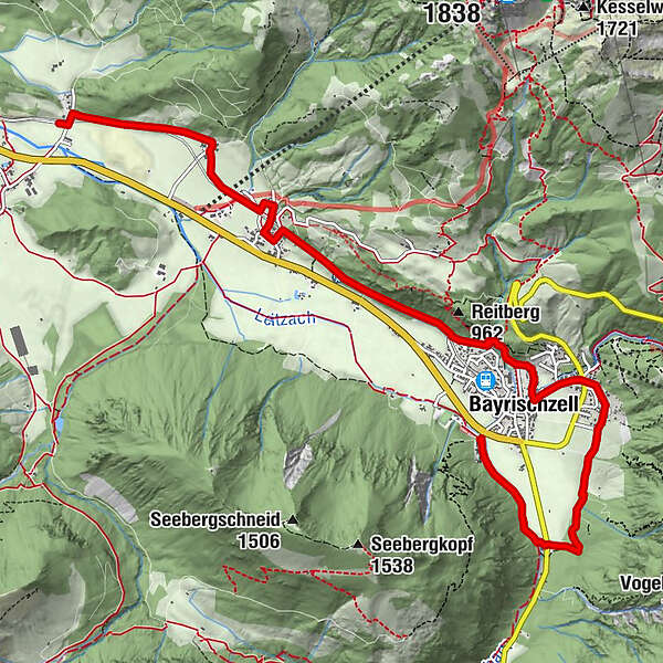
Schönborn Kapelle2,9 kmBayrischzell3,2 kmOsterhofen5,9 kmZum Wurz5,9 kmSt. Maria Himmelfahrt5,9 kmOberberg6,1 kmDorf7,0 kmGeitau8,0 kmRied8,3 km
- La stagione migliore
-
genfebmaraprmaggiulugagosetottnovdic
- Punto più alto
- 839 m
- Profilo altimetrico
-
 © outdooractive.com
- Autore
-
Il tour Kneipp-Tour è utilizzato da outdooractive.com fornito.
GPS Downloads


Info generali
Punto di ristoro
Altri tour nelle regioni
-
Chiemsee - Alpenland
1212
-
Bayrischzell
548