© Skitour Magazin - Stefan Loibl

© Skitour Magazin - Stefan Loibl

© Skitour Magazin - Stefan Loibl

© Skitour Magazin - Stefan Loibl
- Descrizione rapida
-
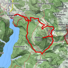
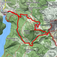
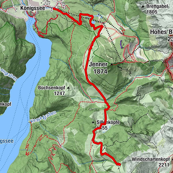
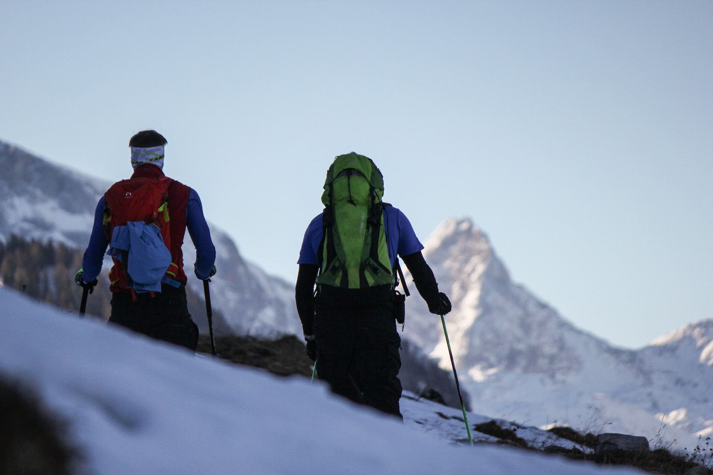
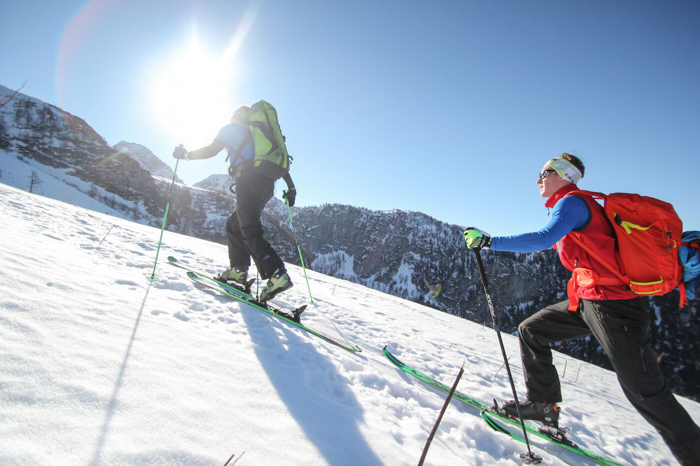
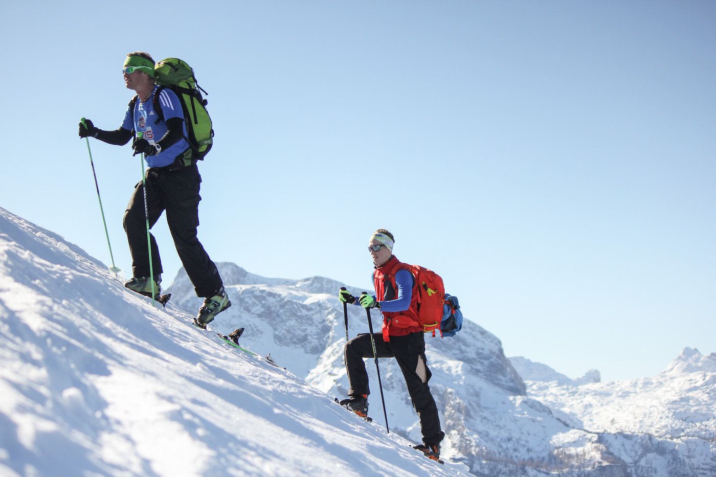
Standard-Skitour auf einen Klassiker im Berchtesgadener Land: erst auf der Skitouren-Route bis zur Jenner-Mittelstation, oben über freie Skihänge zum höchsten Punkt (kein Gipfel).
- Difficoltà
-
intermedio
- Valutazione
-
- Percorso
-
Priesbergalm6,7 km
- La stagione migliore
-
agosetottnovdicgenfebmaraprmaggiulug
- Punto più alto
- 1.854 m
- Destinazione
-
Talstation Jenner-Bergbahn
- Exposition
- Profilo altimetrico
-
 © outdooractive.com

-

-
AutoreIl tour Skitour Hohes Roßfeld è utilizzato da outdooractive.com fornito.
GPS Downloads


Info generali
Promettente
Altri tour nelle regioni