Dati percorsi
8,2km
706
- 729m
47hm
39hm
02:00h
- Descrizione rapida
-
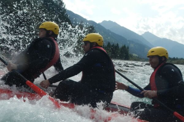
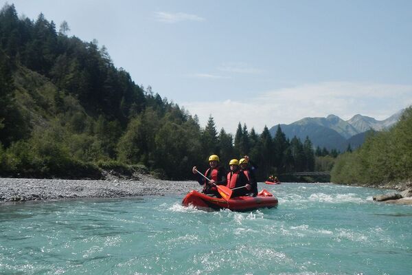
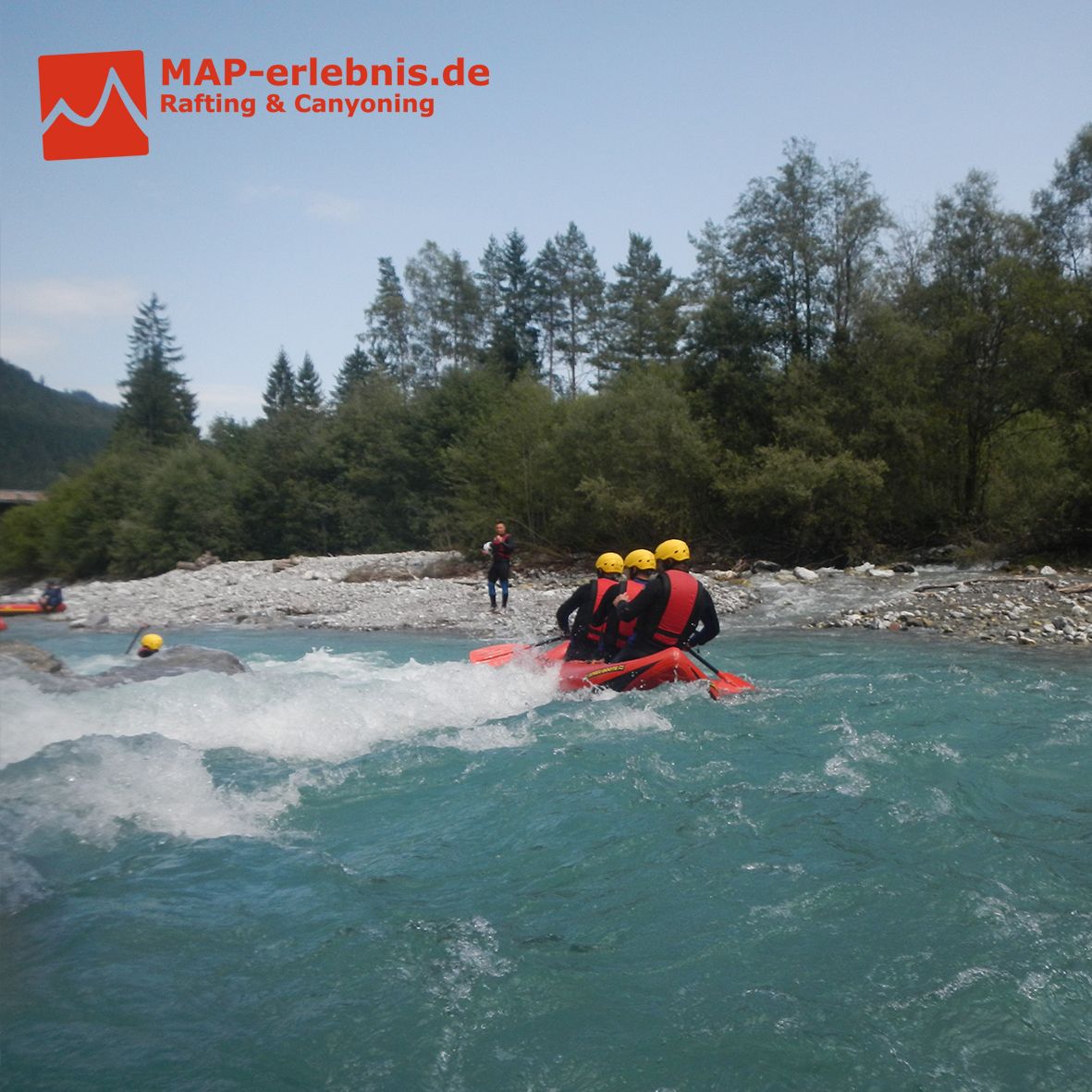
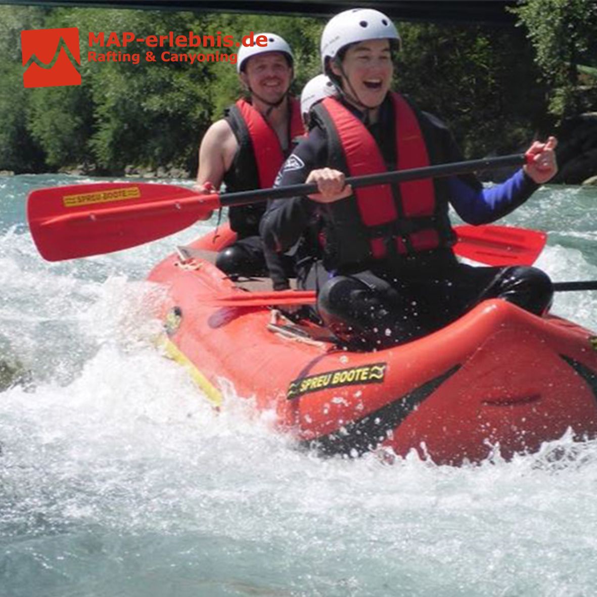
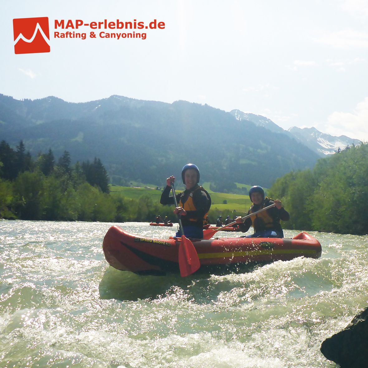
Landschaftlich wunderschöner Rafting Abschnitt mit einem Wildwasserhighlight
Sehr ruhiger Abschnitt durch das Landschaftsschutzgebiet mit einer steilen Sohlrampe, bei der die großen Wellen den Adrenalinspiegel steigen lassen.
Hast du Lust bekommen? Dann buche am Besten noch heute dein Rafting Erlebnis mit MAP-Erlebnis auf www.map-erlebnis.de
- Difficoltà
-
facile
- Valutazione
-
- Punto di partenza
-
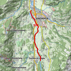
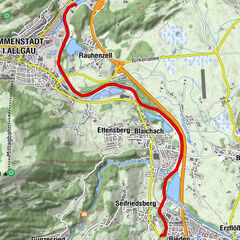
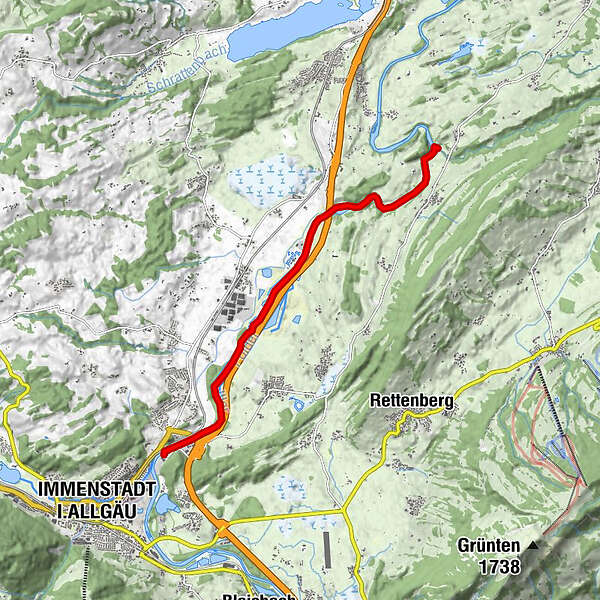
Ausgangspunkt ist die Zollbrücke am Tierheim in Immenstadt/Stein
- La stagione migliore
-
genfebmaraprmaggiulugagosetottnovdic
- Punto più alto
- 729 m
- Destinazione
-
Zielpunkt ist die Mündung der Rottach in die Iller kurz vor Martinszell
- Riposo/Ritiro
-
Restaurant "Zum Schiff" an unserer Outdoor Station in Bihlerdorf
- Informazioni
- Cartine

- Telefono informazioni
-
0049 176 700 77777
- Link
- www.map-erlebnis.de
- Fonte
- Sebastian Drexler
GPS Downloads


Altri tour nelle regioni
-
Allgäu
4
-
Oberallgäu
4
-
Rettenberg
3