© Tourismusverband Ostbayern e.V.

© Tourismusverband Ostbayern e.V.
© Tourismusverband Ostbayern e.V.
Dati percorsi
20,98km
301
- 398m
147hm
87hm
05:23h
Tourismusverband Ostbayern e.V.
- Descrizione rapida
-
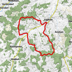
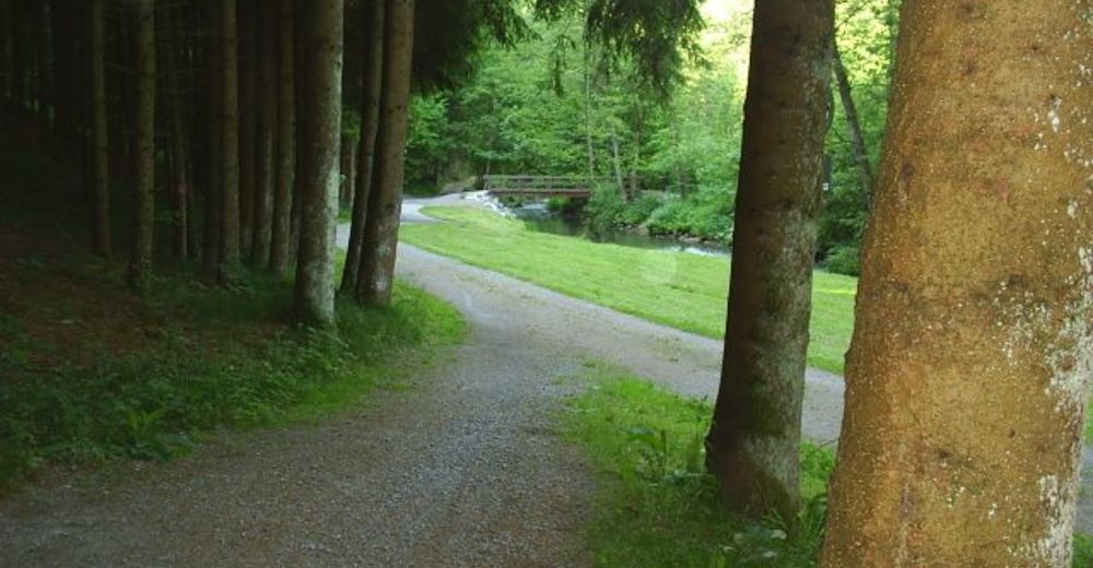
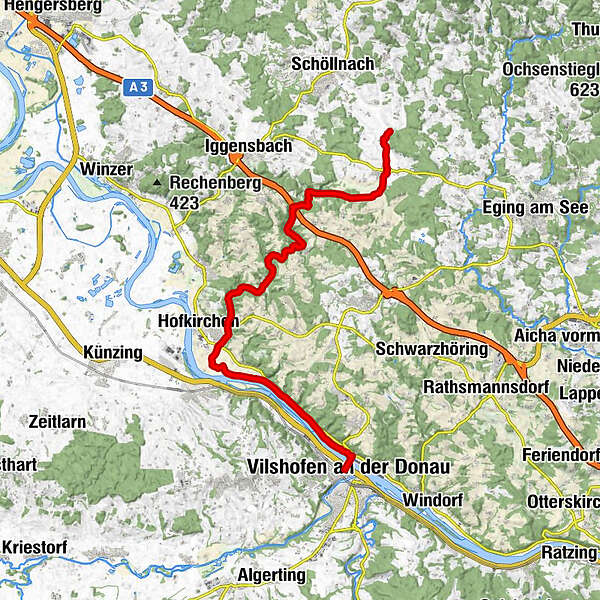
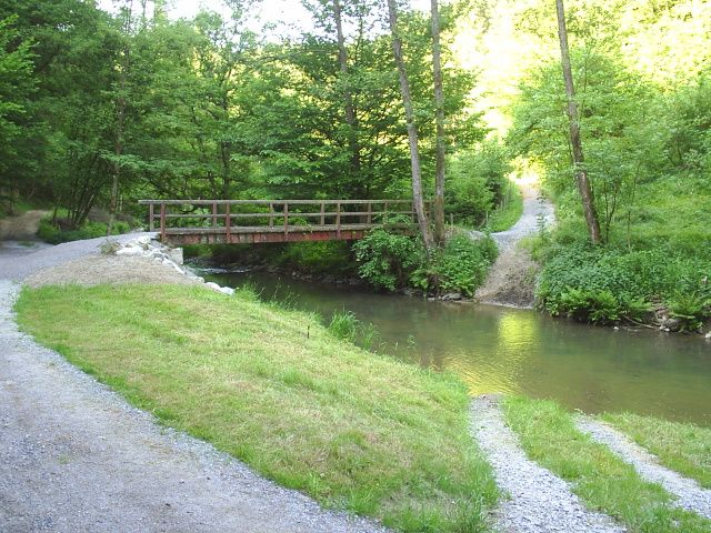
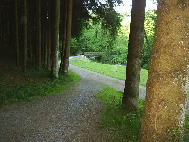
Erleben Sie entlang des Ohetal-Radweges den landschaftlich reizvollen Verlauf durch das wunderschöne naturbelassene Ohetal von Vilshofen bis Iggensbach bzw. Außernzell.
- Percorso
-
Vilshofen an der Donau (308 m)Schmalhof0,2 kmWeidenhof0,9 kmWimhof1,6 kmGelbersdorf5,0 kmFürstmühl7,7 kmBruckmühl8,2 kmGasthaus Scheuer10,6 kmGrubhof10,6 kmSchöllnstein13,3 kmKopfsberg16,1 kmHaselleithen16,8 kmAllharting18,2 kmPizzeria Marco Polo19,3 kmMariä Himmelfahrt19,3 kmAußernzell19,4 kmGunzing20,5 km
- La stagione migliore
-
genfebmaraprmaggiulugagosetottnovdic
- Punto più alto
- 398 m
- Destinazione
-
Iggensbach
- Profilo altimetrico
-
 © outdooractive.com

- Autore
-
Tourismusverband Ostbayern e.V.Il tour Ohetal-Radweg è utilizzato da outdooractive.com fornito.
GPS Downloads


Info generali
Culturale/Storico
Promettente
Altri tour nelle regioni