© Landkreis Lindau (Bodensee) - Frederick Sams
© Allgäu GmbH, Gesellschaft für Standort und Tourismus - Timon Oberheide
© Allgäu GmbH, Gesellschaft für Standort und Tourismus - Timon Oberheide
© Allgäu GmbH, Gesellschaft für Standort und Tourismus - Timon Oberheide

")
- Descrizione rapida
-
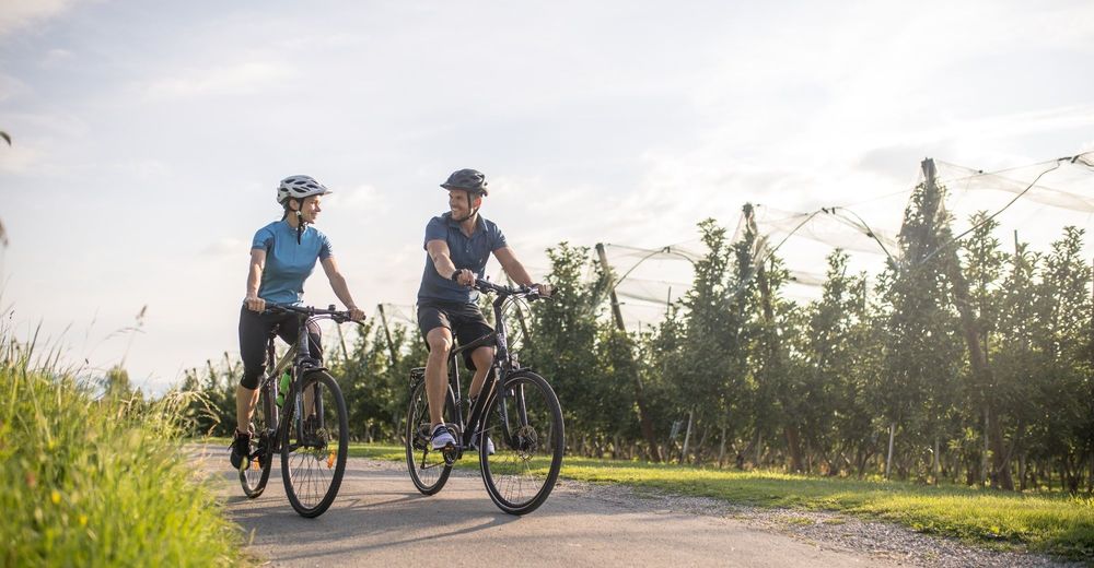
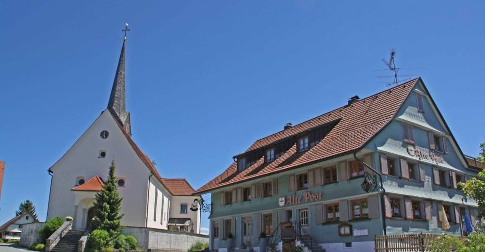
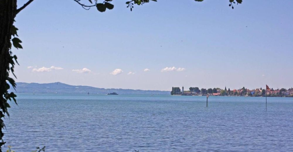
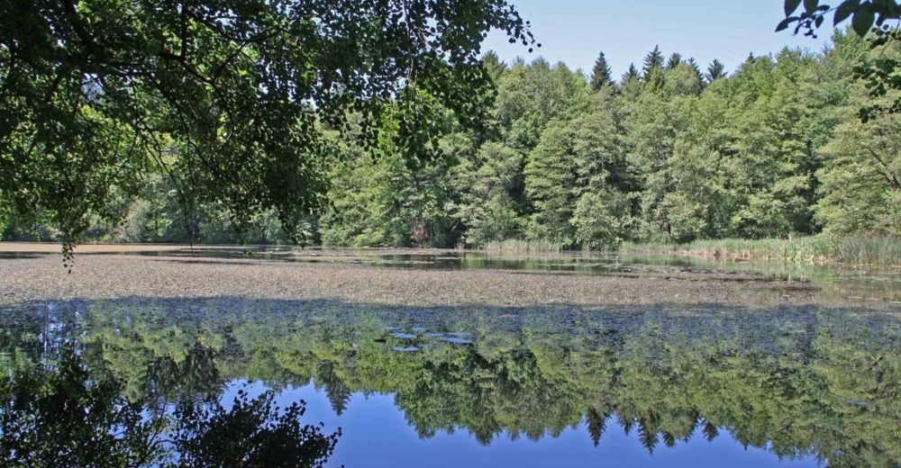
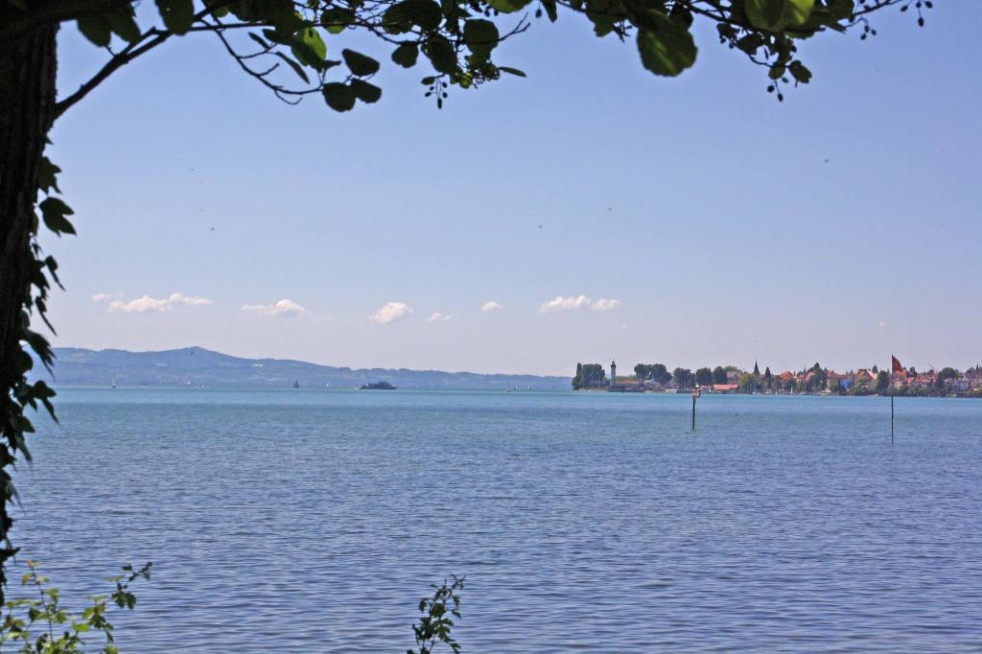
The tour through the Leiblach valley leads us from the island of Lindau to Hergensweiler. We can experience marvellous views and cross orchards and have not only the opportunity to set in, but also to swim.
- Difficoltà
-
intermedio
- Valutazione
-
- Percorso
-
Lindau (Bodensee) (401 m)0,0 kmReutin1,0 kmOberhochsteg4,9 kmHörbranz5,7 kmHangnach6,4 kmHubers7,9 kmLaiblachsberg8,6 kmThumen9,5 kmSigmarszell10,1 kmBiesings10,2 kmHagers12,4 kmSonne13,0 kmHergensweiler13,0 kmMollenberg15,3 kmHeimholz16,3 kmBiesings16,4 kmSchlachters17,2 kmWeißensberg19,0 kmOberhof19,1 kmStreitelsfingen20,9 kmMotzach21,8 kmOberreutin22,2 kmLindau (Bodensee) (401 m)24,1 km
- La stagione migliore
-
genfebmaraprmaggiulugagosetottnovdic
- Punto più alto
- 537 m
- Profilo altimetrico
-
 © outdooractive.com


- Autore
-
Il tour Tour through the Leiblach valley è utilizzato da outdooractive.com fornito.
GPS Downloads


Info generali
Punto di ristoro
Promettente
Altri tour nelle regioni