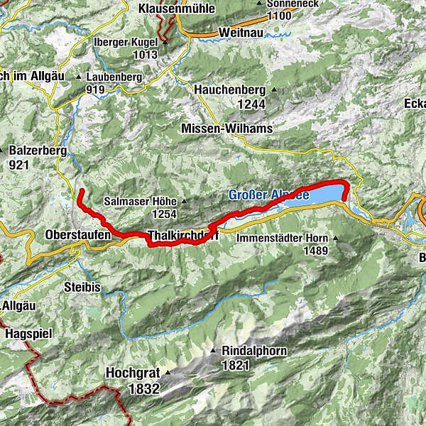
St. James way Section 7 Immenstadt/Bühl - Oberstaufen/Zell

Pellegrinaggio


- Descrizione rapida
-
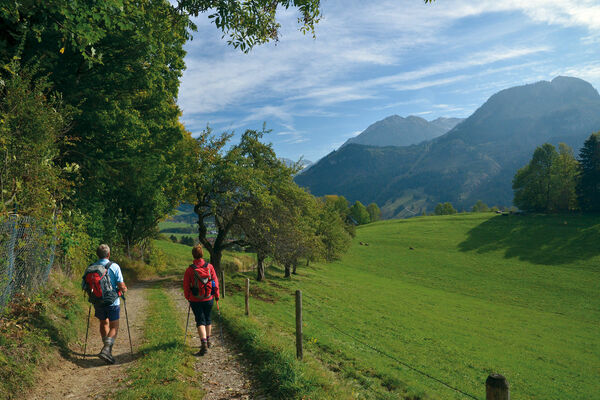
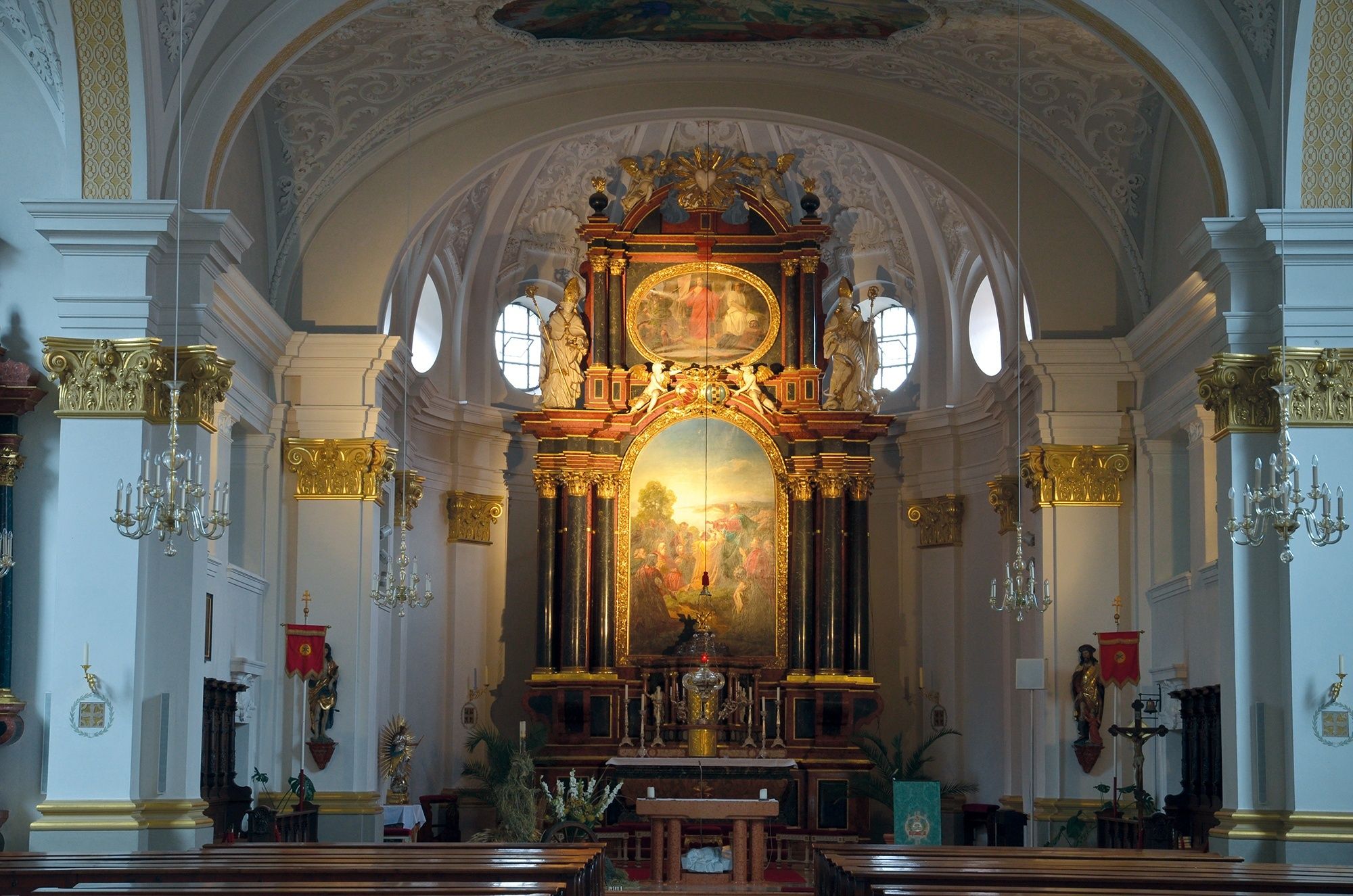
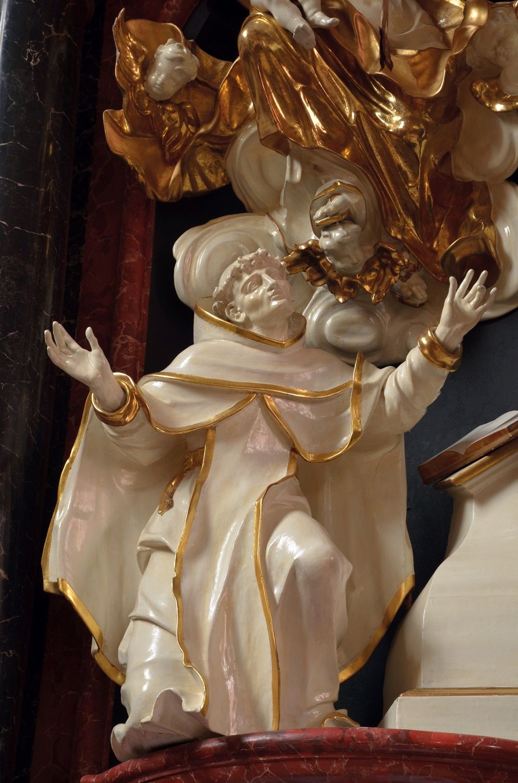
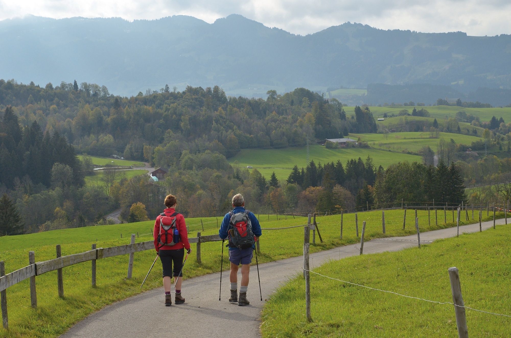
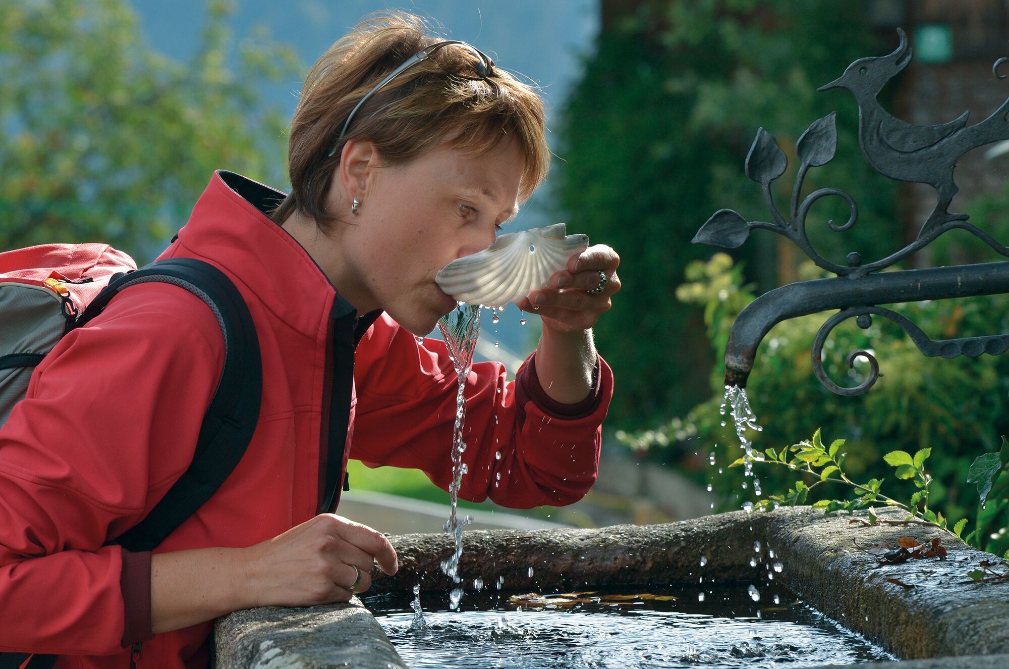
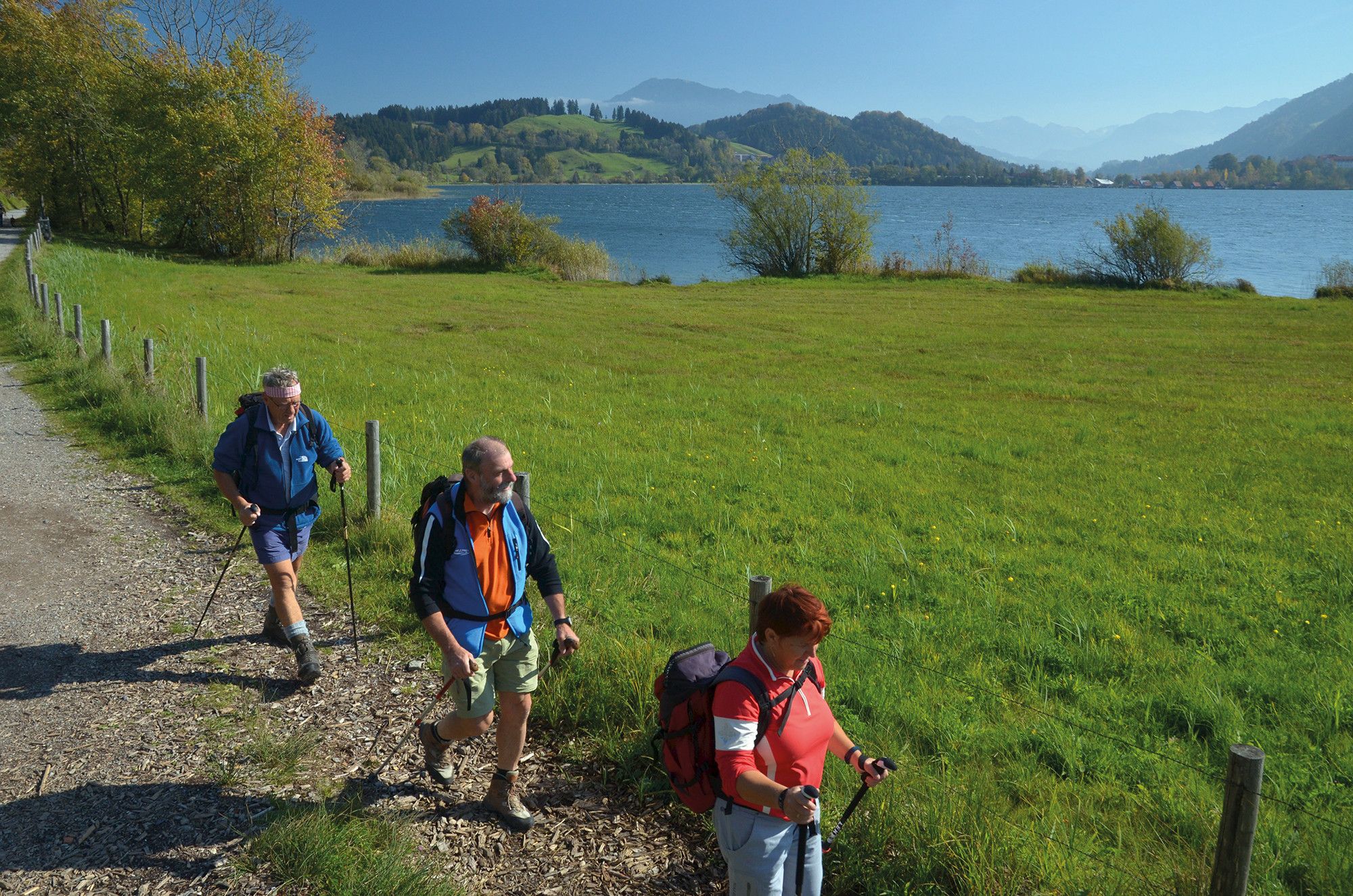
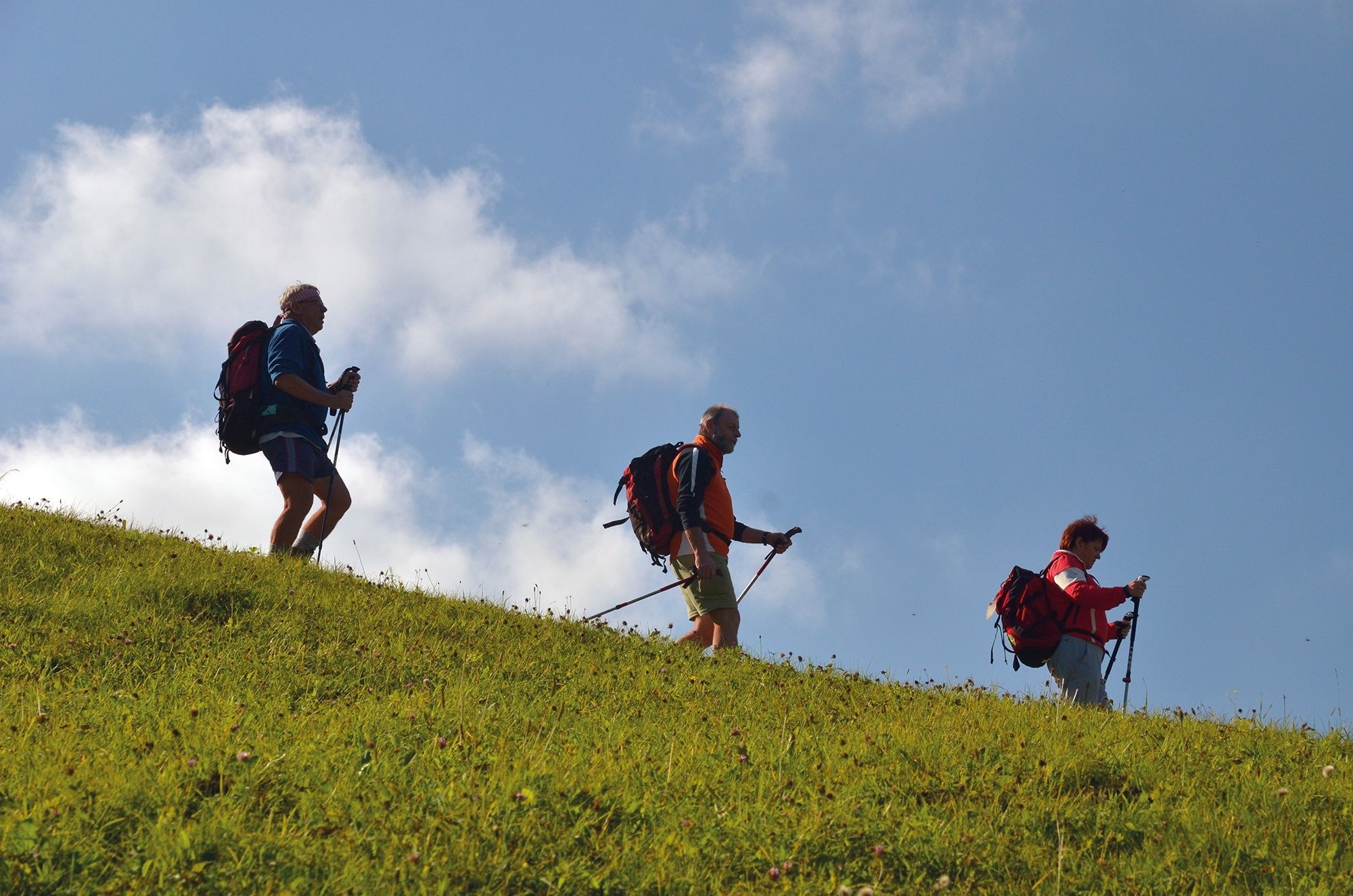
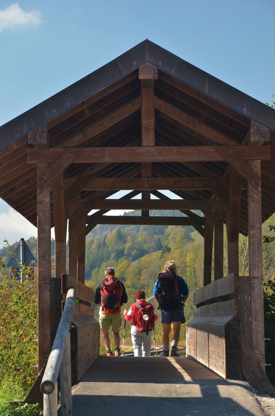
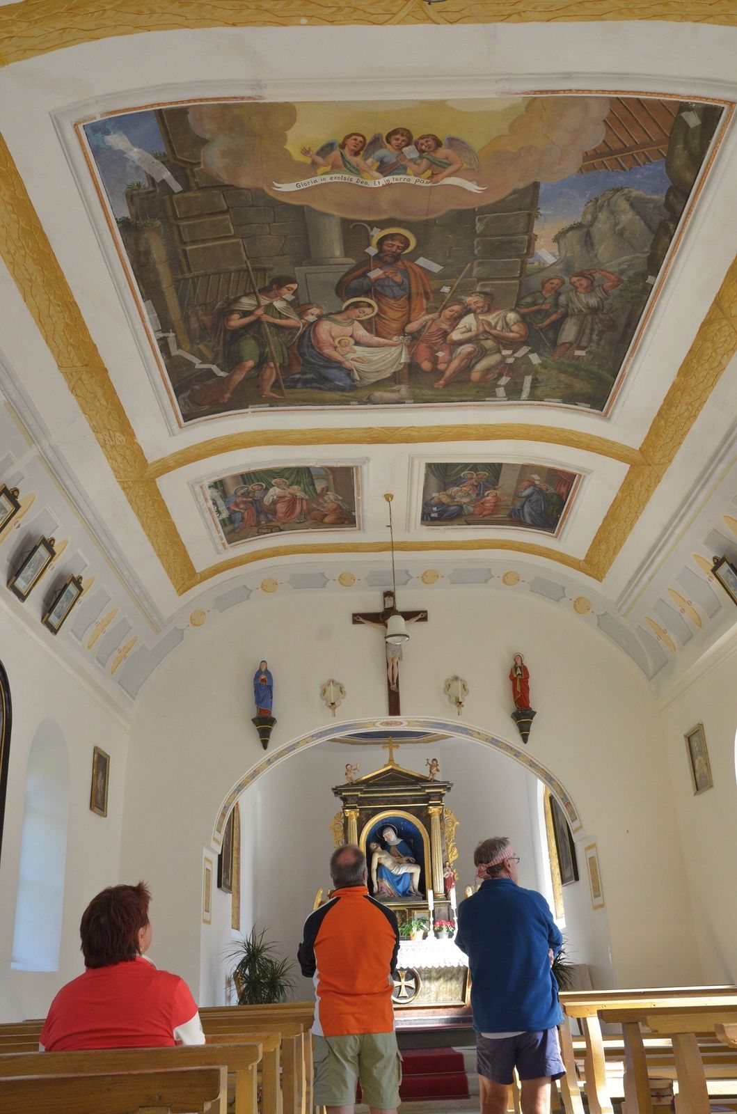
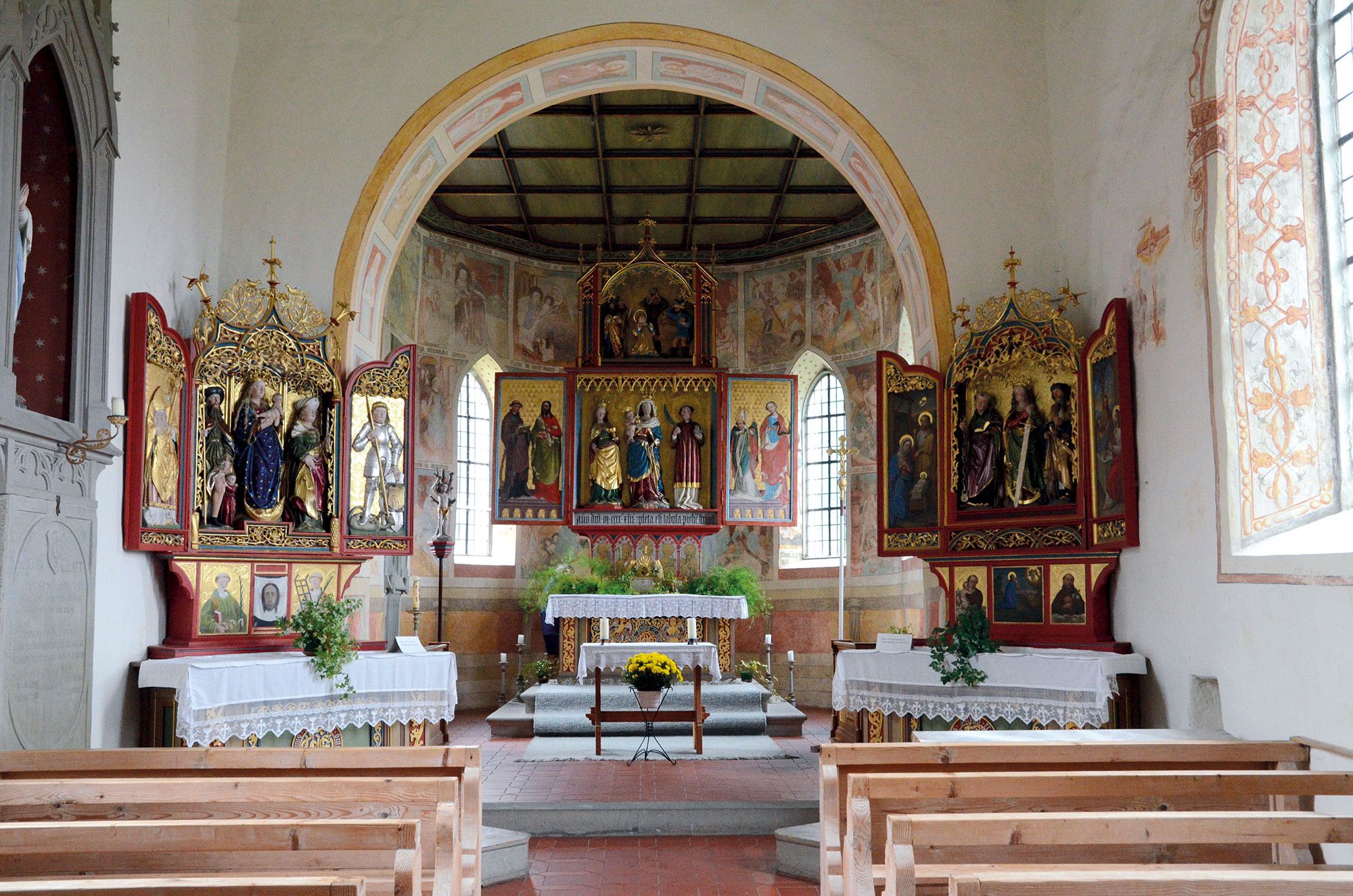
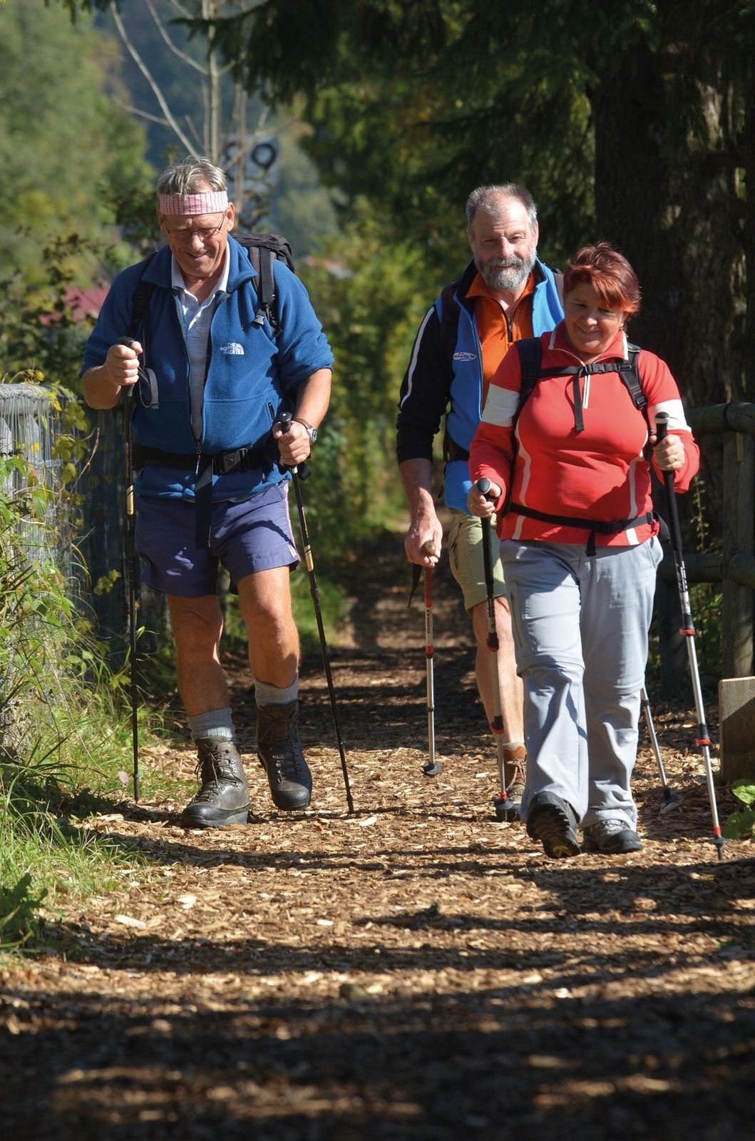
An enchanting end to the pilgrimage with wonderful lake and mountain views, magnificent old farmhouses and many art-historical surprises.
- Difficoltà
-
intermedio
- Valutazione
-
- Percorso
-
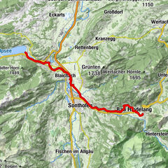
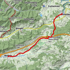
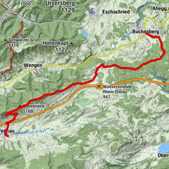
Bühl a.AlpseeTrieblings3,3 kmKonstanzer8,3 kmSt. Jakobus8,5 kmOsterdorf9,0 kmSt. Johannes Baptist10,1 kmThalkirchdorf10,2 kmDorfhaus10,2 kmSt. Georg12,9 kmKnechtenhofen13,2 kmWengen14,1 kmSt. Maria Immaculata15,3 kmKalzhofen15,3 kmBuflings16,5 kmZell17,0 km
- La stagione migliore
-
genfebmaraprmaggiulugagosetottnovdic
- Punto più alto
- 838 m
- Destinazione
-
Oberstaufen - Zell
- Profilo altimetrico
-
 © outdooractive.com


- Autore
-
Il tour St. James way Section 7 Immenstadt/Bühl - Oberstaufen/Zell è utilizzato da outdooractive.com fornito.
GPS Downloads


Info generali
Punto di ristoro
Culturale/Storico
Flora
Fauna
Promettente
Altri tour nelle regioni
-
Allgäu
2357
-
Alpsee-Grünten
1694
-
Alpsee Bergwelt
601