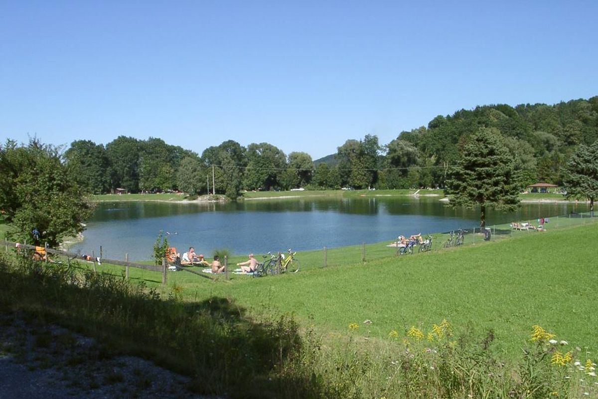
© Chiemsee-Alpenland - Gemeinde Neubeuern
- Descrizione rapida
-
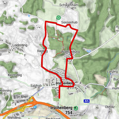
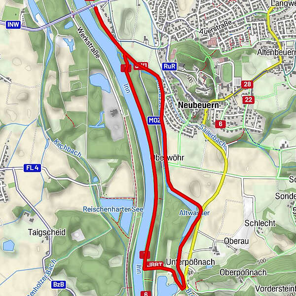
Der Weg ist großteils nur auf dem Damm und ist somit eine schöne Walking Strecke mit Blick auf das Neubeurer Schloss.
- Difficoltà
-
facile
- Valutazione
-
- Percorso
-
Unterpößnach2,8 kmOberwöhr4,0 kmNeubeuern4,6 km
- La stagione migliore
-
genfebmaraprmaggiulugagosetottnovdic
- Punto più alto
- 456 m
- Destinazione
-
Parkplatz Innbrücke, Neubeuern
- Profilo altimetrico
-
 © outdooractive.com
-

-
AutoreIl tour Nordic Walking Route: Neubeurer See è utilizzato da outdooractive.com fornito.
GPS Downloads


Altri tour nelle regioni