© Churfranken - Bernd Ullrich - mainblende.de
- Descrizione rapida
-
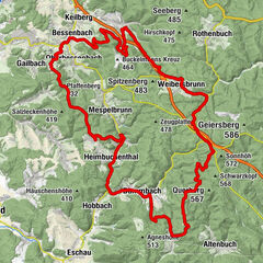
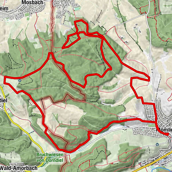
Die 21 km lange Strecke ist mit rund 500 Hm und einem hohem Anteil an Schotterwegen sehr gut für Mountainbike-Einsteiger geeignet, sowie als schnelle Feierabendrunde.
- Difficoltà
-
intermedio
- Valutazione
-
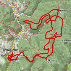
- Percorso
-
MömlingenGrotte Marienruh5,7 kmBrunnberg7,3 kmMariengrotte19,0 kmMömlingen20,8 km
- La stagione migliore
-
genfebmaraprmaggiulugagosetottnovdic
- Punto più alto
- 299 m
- Destinazione
-
Löwenparkplatz, Mömlingen
- Profilo altimetrico
-
 © outdooractive.com

-

-
AutoreIl tour Mountainbike-Rundstrecke Mömlingen (Mö2) è utilizzato da outdooractive.com fornito.
GPS Downloads


Percorsi
Trial
Info generali
Promettente
Altri tour nelle regioni