Dati percorsi
18,9km
787
- 2.539m
1.743hm
1.727hm
08:00h
- Difficoltà
-
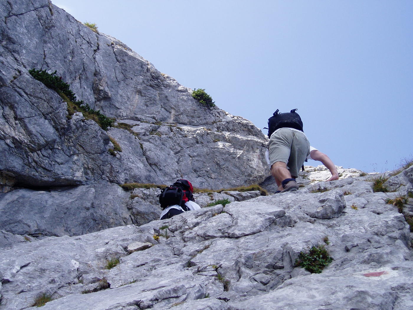
difficile
- Valutazione
-
- Punto di partenza
-
Seeklause
- Percorso
-
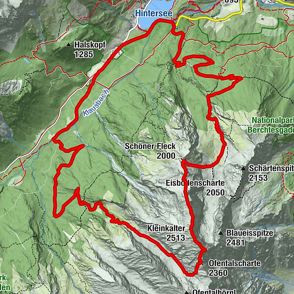
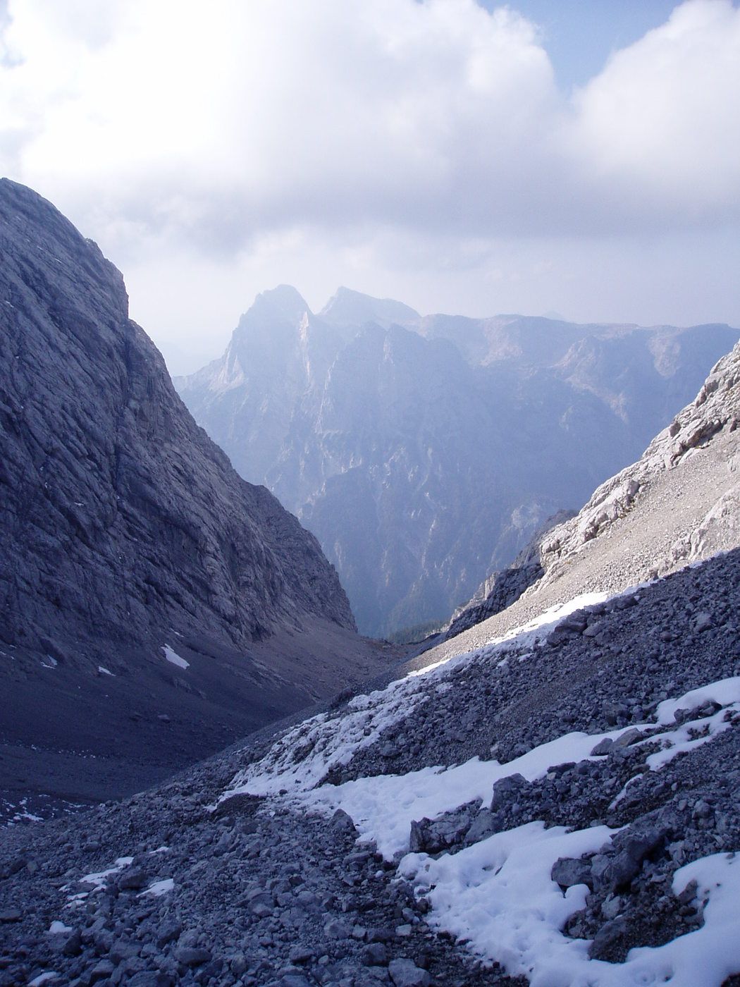
Schärtenalm3,6 kmBlaueishütte5,2 kmSchöner Fleck (2.000 m)6,5 kmRotpalfen (2.367 m)7,1 kmKleinkalter (2.513 m)7,8 kmHochkalter (2.608 m)8,3 kmOfentalscharte (2.360 m)8,7 kmOfental10,0 kmSalzkopf12,5 kmAuzinger17,5 km
- La stagione migliore
-
genfebmaraprmaggiulugagosetottnovdic
- Punto più alto
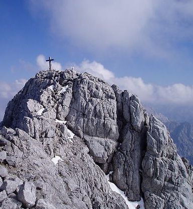
- Hochkalter (2.539 m)
- Falesia
- Riposo/Ritiro
-
Schärtenalm, Blaueishütte, Gasthaus Auzinger
- Cartine
-
DAV, Bayerische Vermessungsverwaltung, Kompass
GPS Downloads


Altri tour nelle regioni