


Dati percorsi
15,41km
732
- 763m
31hm
25hm
01:30h
- Descrizione rapida
-
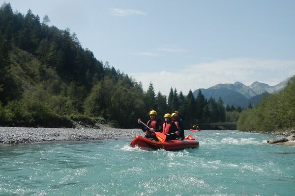
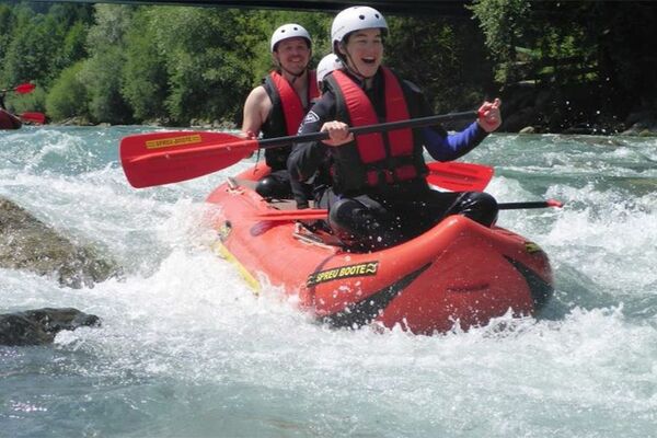
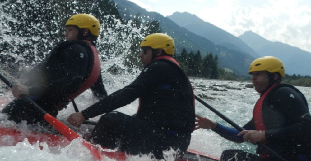
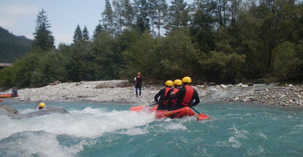
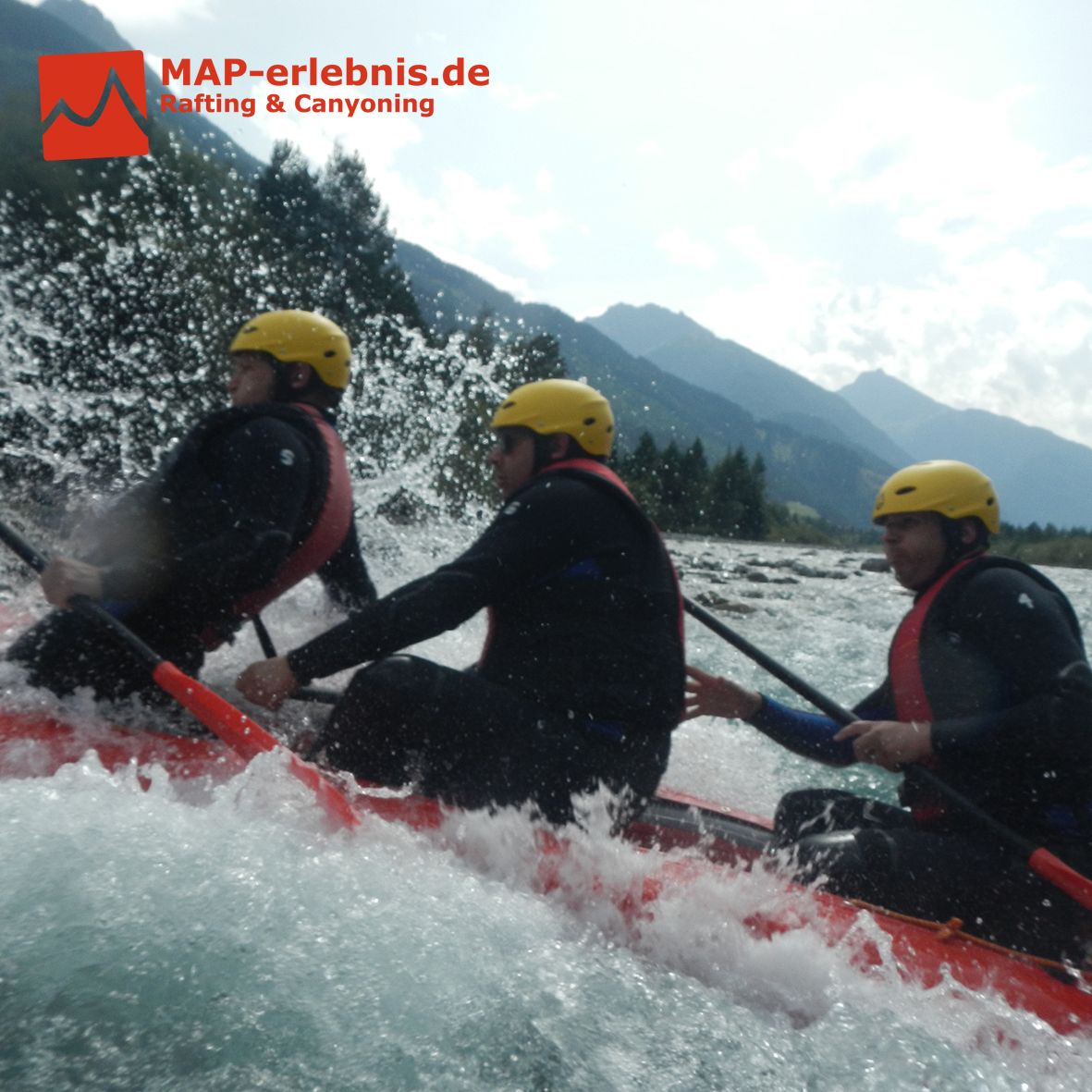
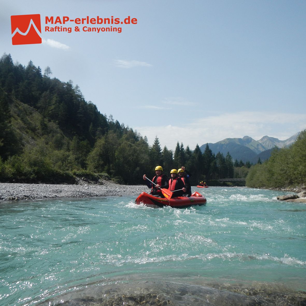
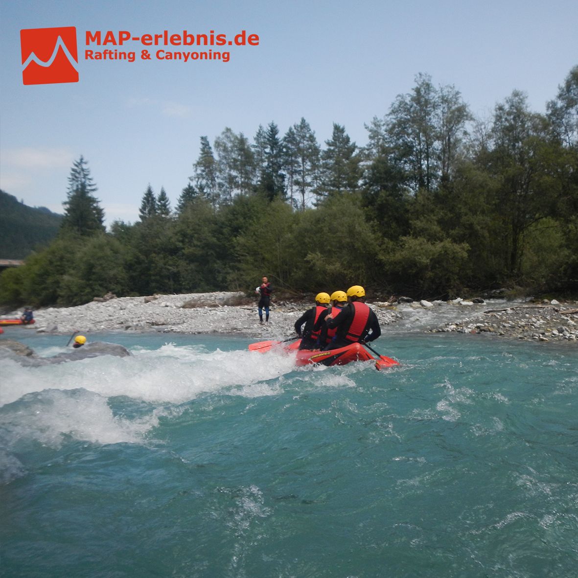
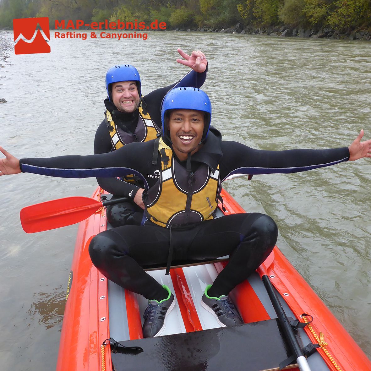
Kajak auf der oberen Iller mit MAP-Erlebnis garantiert Spaß und Aktion
Hast du Lust bekommen? Dann buche am Besten noch heute dein Rafting Erlebnis mit MAP-Erlebnis auf www.map-erlebnis.de
- Difficoltà
-
facile
- Valutazione
-
- Punto di partenza
-
Outdoor Station von MAP-Erlebnis in Bihlerdorf
- Percorso
-
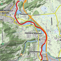
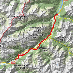
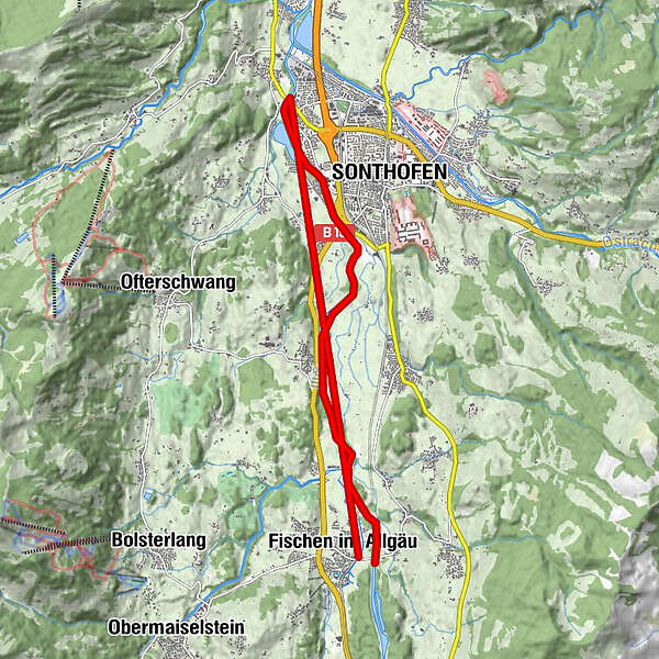
Fischen im Allgäu0,0 kmAu0,2 kmTiefenberg3,1 kmSonthofen (741 m)5,9 kmOberzollbrücke7,4 kmIllersiedlung8,9 kmMariae Opferung10,4 kmSigishofen10,4 kmTiefenberg12,1 kmWeiler13,8 kmFischen im Allgäu15,3 km
- La stagione migliore
-
genfebmaraprmaggiulugagosetottnovdic
- Punto più alto
- 763 m
- Destinazione
-
Outdoor Station von MAP-Erlebnis in Bihlerdorf
- Riposo/Ritiro
-
Das Restaurant "Zum Schiff" an der MAP-Erlebnis Outdoorstation in Bihlerdorf bietet erstklassiges Essen in uriger und entspannter Atmosphäre
- Informazioni
-
www.map-erlebnis.de/rafting-allgaeu/
- Cartine
-
www.map-erlebnis.de/rafting-allgaeu/

- Telefono informazioni
-
0049 176 700 77777
- Link
- www.map-erlebnis.de/rafting-allgaeu/
- Fonte
- MAP-Erlebnis
GPS Downloads


Altri tour nelle regioni
-
Allgäu
6
-
Alpsee-Grünten
8
-
Sonthofen
5