Donausteig Stage 1_S01 Passau - Kasten „Through the Sauwald (forest) into the Danube valley"

© WGD Donau Oberösterreich Tourismus GmbH/Weissenbrunner

© WGD Donau Oberösterreich Tourismus GmbH/Weissenbrunner

© WGD Donau Oberösterreich Tourismus GmbH/Weissenbrunner - Weissenbrunner
© WGD Donau Oberösterreich Tourismus GmbH

© WGD Donau Oberösterreich Tourismus GmbH


- Descrizione rapida
-
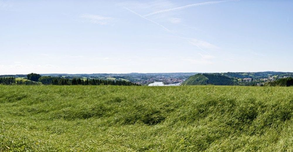
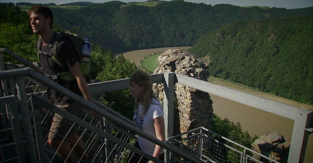
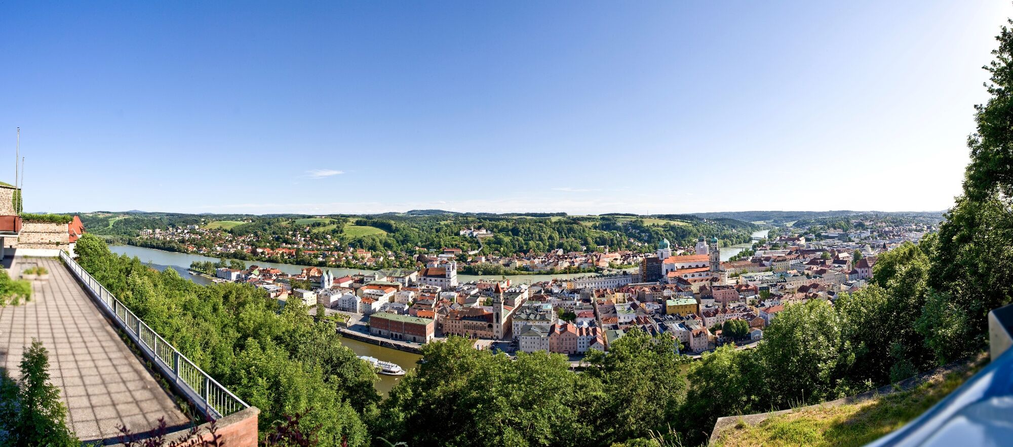
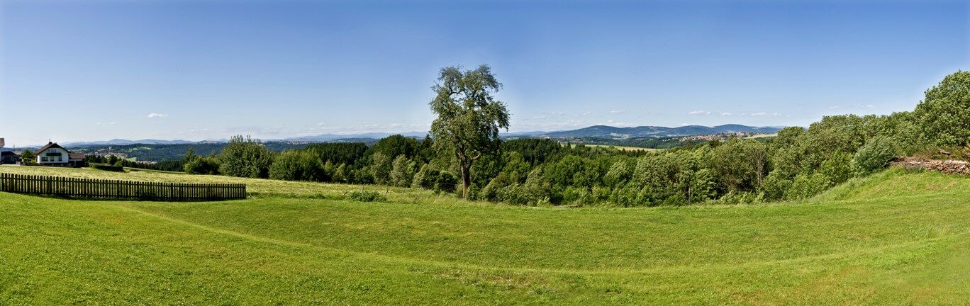
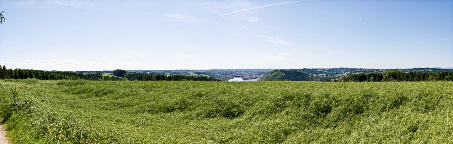
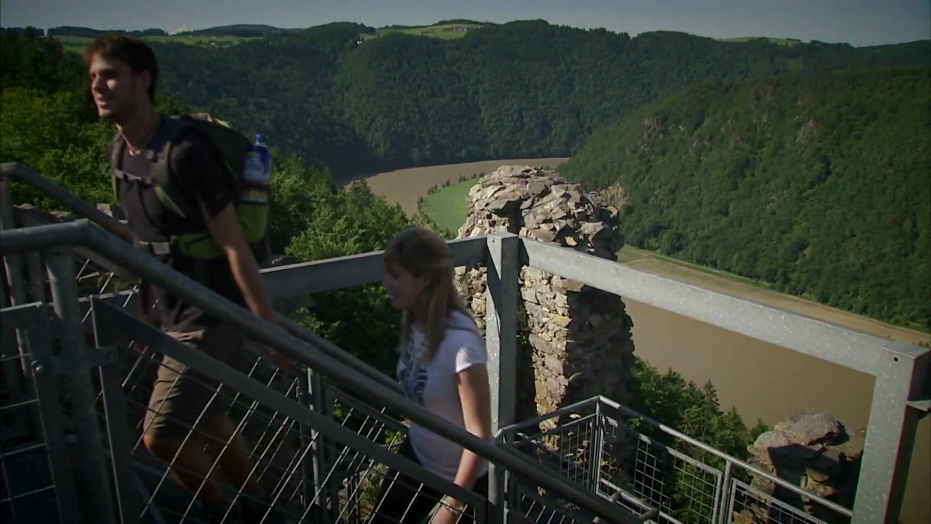
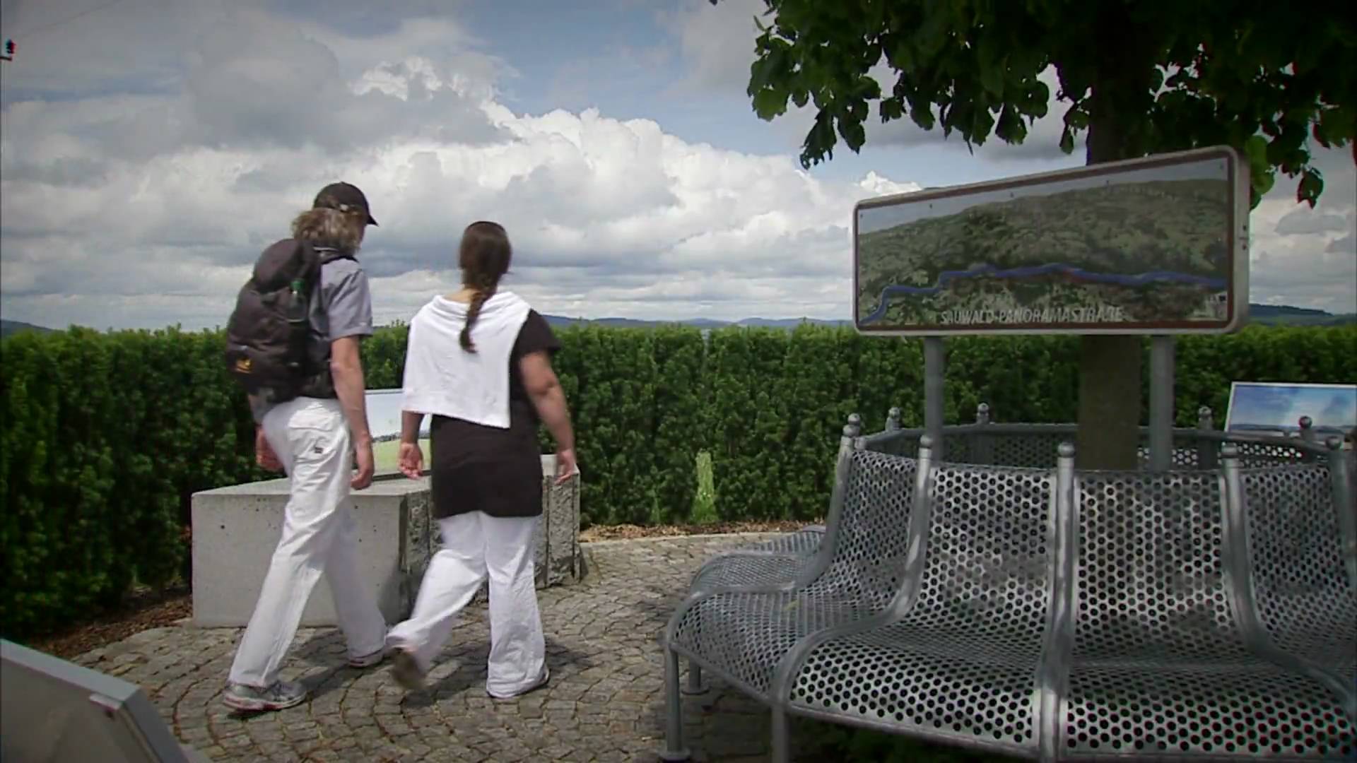
The Donausteig-simply fabulous! This stage leads us from the Tri-River City of Passau along the Danube streams, across the rural Sauwald plateau into the wooded narrow valley of the Danube, over the atmospheric plateau to Kasten on the Danube. We discover Passau as the Bavarian Venice, the frontier of upper Bavaria, the gateway to the upper Danube valley, the idyllic Sauwald (Forest), the hidden past of Kasten, the world of Danube river rafting...
- Difficoltà
-
difficile
- Valutazione
-
- Percorso
-
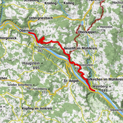
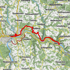
Passau (312 m)0,5 kmSt. Nikola0,8 kmSankt Severin1,1 kmSankt Gertraud1,5 kmInnstadt1,6 kmPassau-Rosenau2,8 kmMaria im Walde4,1 kmPassaublick5,3 kmFreinberg5,4 kmKapelle5,5 kmParz8,2 kmNibelungen-Stüberl8,9 kmUnteresternberg12,4 kmDietzendorf14,7 kmPanoramablick Esternberg16,4 kmSchacher18,3 kmReisdorf18,8 kmHütt (469 m)20,4 km
- La stagione migliore
-
genfebmaraprmaggiulugagosetottnovdic
- Punto più alto
- 535 m
- Destinazione
-
Kasten - the Donausteig-Starting point „Kasten“ is located to the right of the shipping dock „Kasten“.
- Profilo altimetrico
-
 © outdooractive.com
- Autore
-
Il tour Donausteig Stage 1_S01 Passau - Kasten „Through the Sauwald (forest) into the Danube valley" è utilizzato da outdooractive.com fornito.
GPS Downloads


Info generali
Punto di ristoro
Culturale/Storico
Flora
Fauna
Promettente
Altri tour nelle regioni
-
Passauer Land
161
-
Freinberg
50