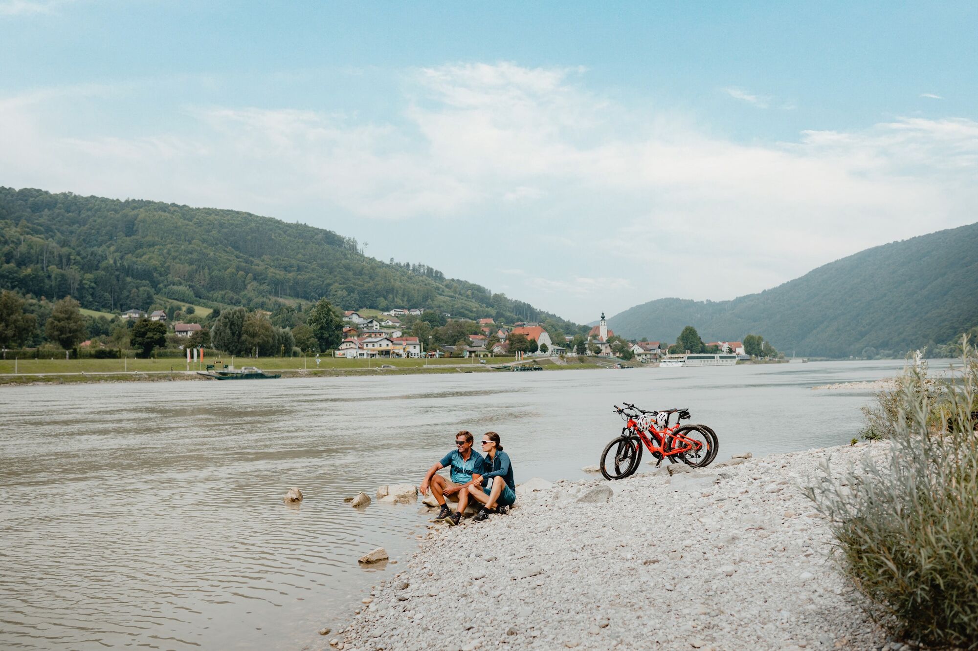
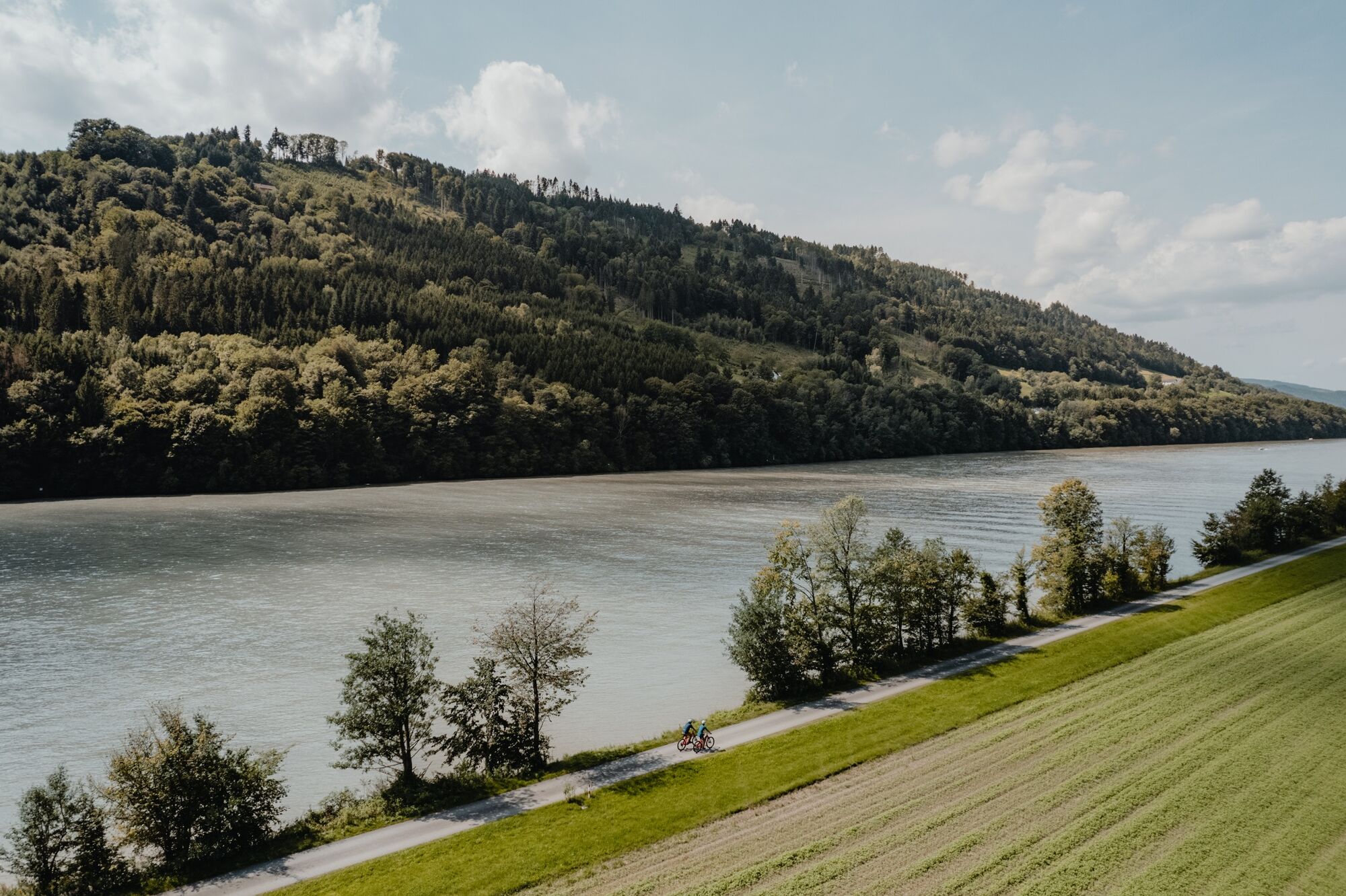
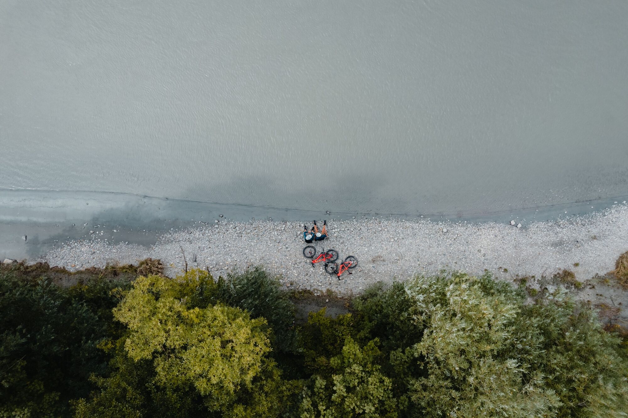
Danube Cycle Path Stage 1 North Bank: Passau - Schlögen

Percorso ciclabile
© WGD Donau Oberösterreich Tourismus GmbH - CM Visuals

© WGD Donau Oberösterreich Tourismus GmbH - © CM Visuals

© WGD Donau Oberösterreich Tourismus GmbH - CM Visuals

- Descrizione rapida
-
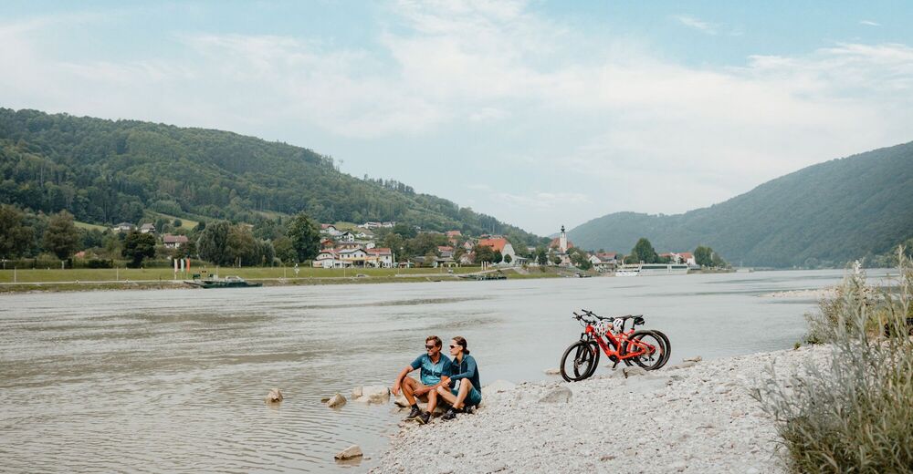
From the Bavarian Venice to the Giant of the Danube
- Difficoltà
-
facile
- Valutazione
-
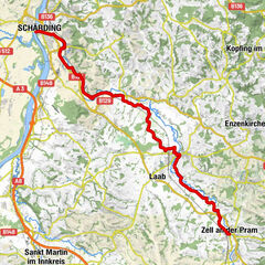
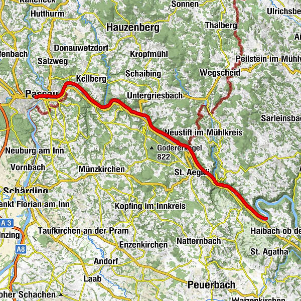
- Percorso
-
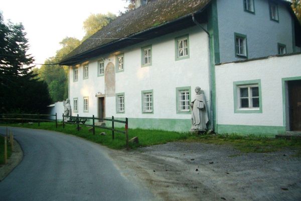
Islamische Gemeinschaft Passau0,8 kmPassau (312 m)0,9 kmSpitalkirche "St. Johann"1,0 kmSchiffanlegestelle Wurm+Köck1,1 kmAltstadt1,3 kmIlzstadt2,1 kmJägerhof2,3 kmRosencafe Aschenbrenner3,5 kmLindau4,5 kmSulzsteg5,1 kmLöwmühle5,9 kmKernmühle6,7 kmZum Edlhof10,3 kmEdlhof10,5 kmErlau11,9 kmWörth14,2 kmPyrawang14,8 kmKreuzsäulenkapelle15,9 kmObernzell17,1 kmKasten19,4 kmKohlbachmühle20,1 kmGrünau20,7 kmSchiffsanlegestelle23,3 kmBistro24,1 kmKapelle24,6 kmJochensteinblick (Fernrohr)24,6 kmGasthaus-Pension Kornexl24,7 kmJochenstein24,8 kmEngelhartszell26,8 kmEngelszell27,3 kmKramesau28,6 kmNiederranna32,6 kmPfarrkirche Niederranna32,8 kmKling34,4 kmWesenufer34,8 kmFreizell36,4 kmFreizeller Stüberl36,5 km
- La stagione migliore
-
genfebmaraprmaggiulugagosetottnovdic
- Punto più alto
- 316 m
- Destinazione
-
Schlögen
- Profilo altimetrico
-
 © outdooractive.com
- Autore
-
Il tour Danube Cycle Path Stage 1 North Bank: Passau - Schlögen è utilizzato da outdooractive.com fornito.
GPS Downloads


Info generali
Punto di ristoro
Culturale/Storico
Flora
Promettente
Altri tour nelle regioni