


- Difficoltà
-
intermedio
- Valutazione
-
- Percorso
-
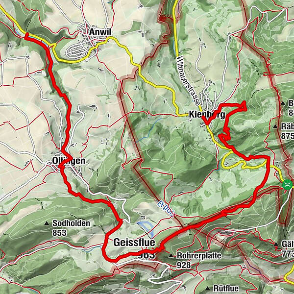
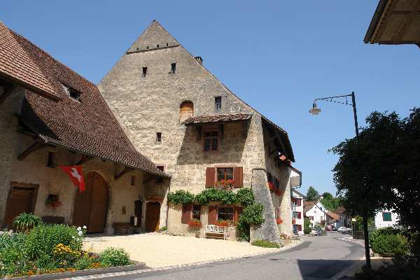
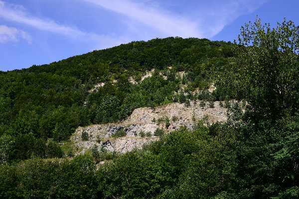
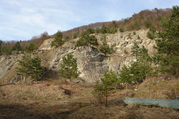
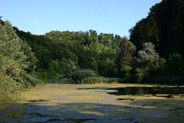
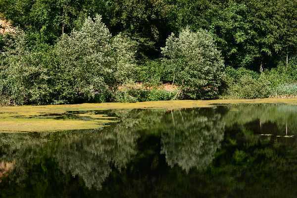
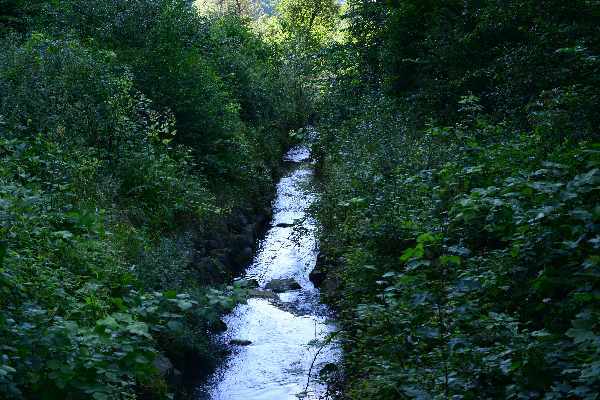
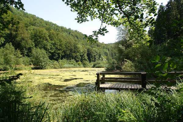
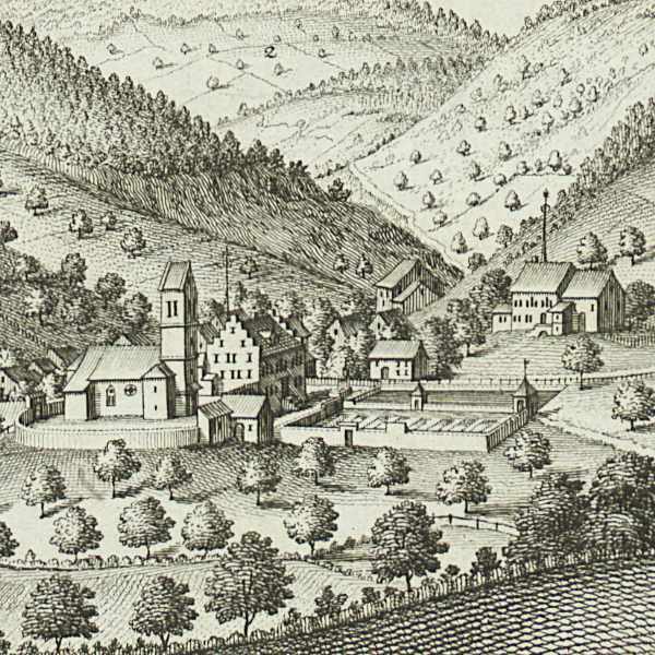
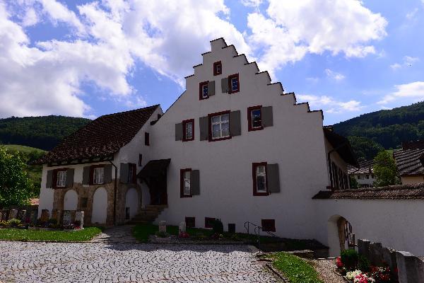
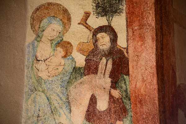
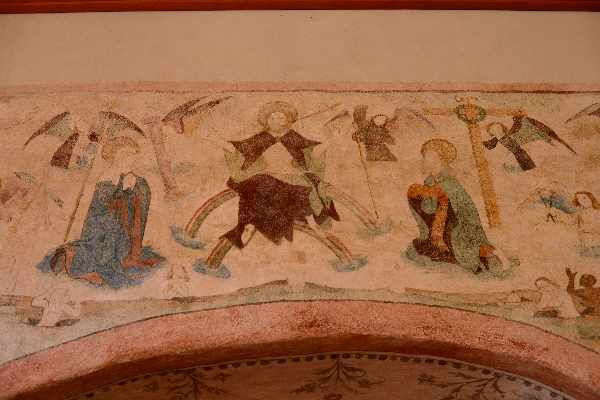
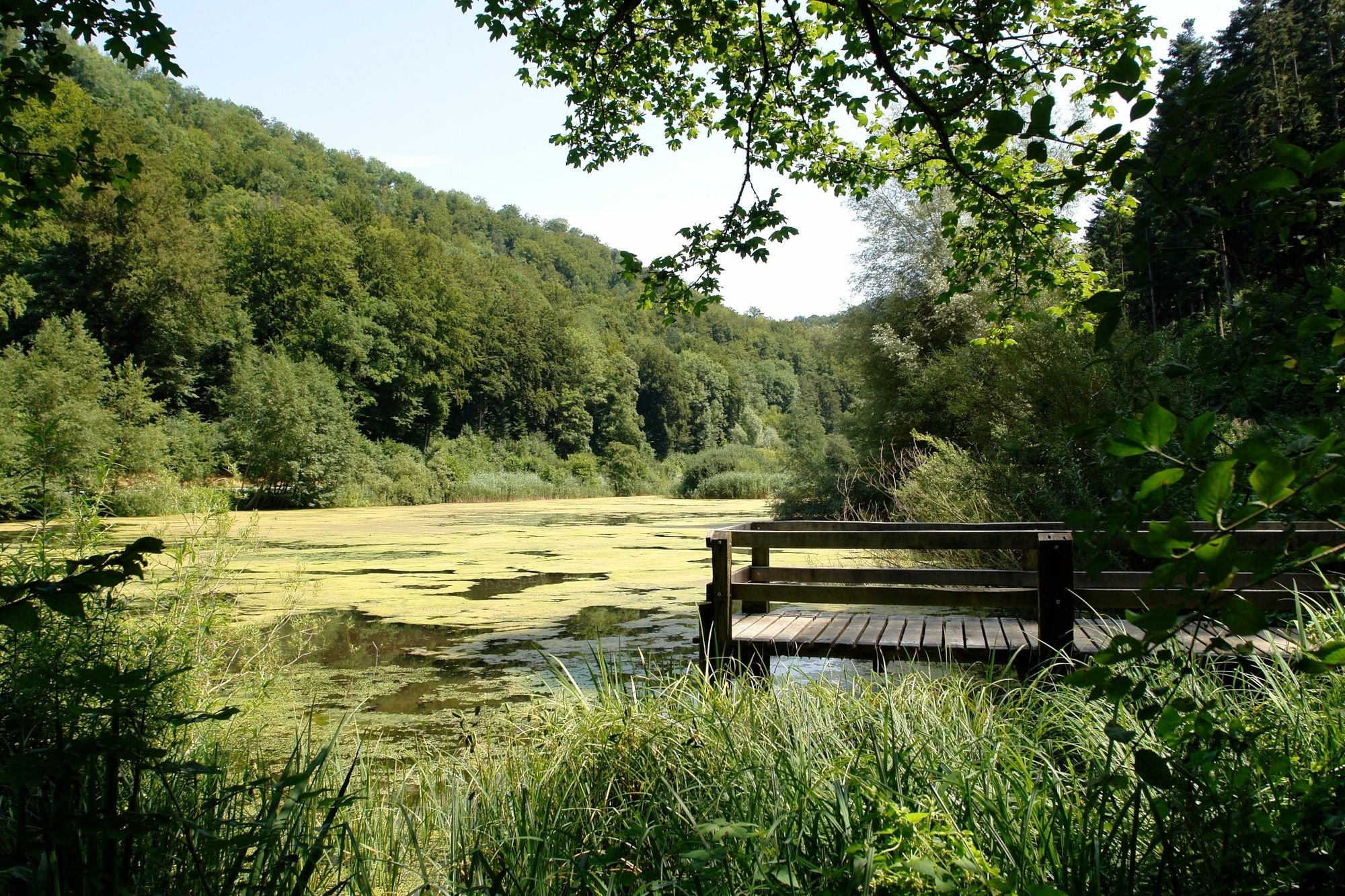
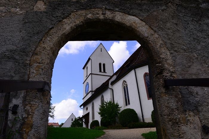
Oltingen (580 m)2,7 kmNaturfreundehaus Schafmatt6,2 kmGeissflue (963 m)6,7 kmPfarrkirche Mariä Himmelfahrt12,7 kmKienberg (549 m)12,8 km
- Punto più alto
- 960 m
- Profilo altimetrico
-
 © outdooractive.com


- Autore
-
Il tour Von Oltingen nach Kienberg è utilizzato da outdooractive.com fornito.
GPS Downloads


Altri tour nelle regioni
-
Kanton Aargau
1492
-
Fricktal
854
-
Wenslingen
312