


- Difficoltà
-
intermedio
- Valutazione
-
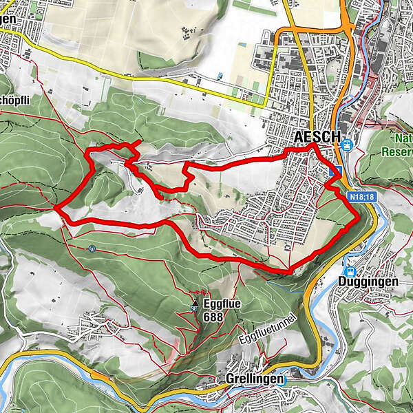
- Percorso
-
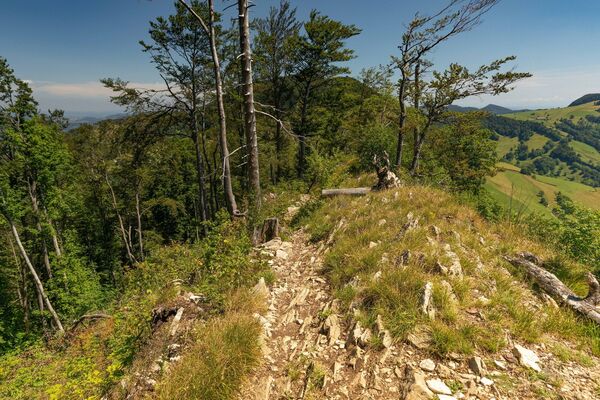
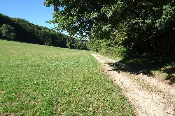
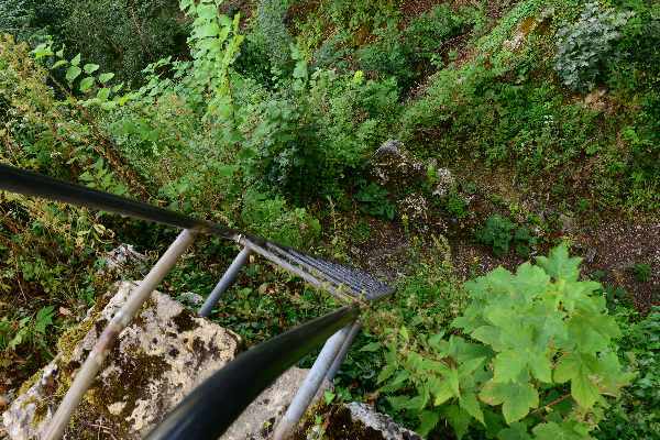
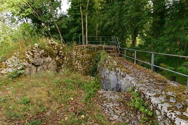
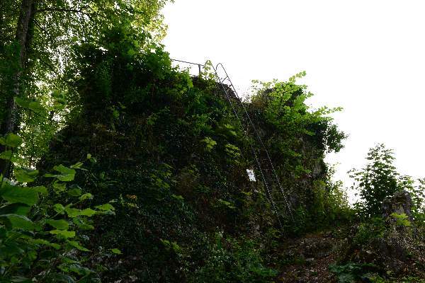
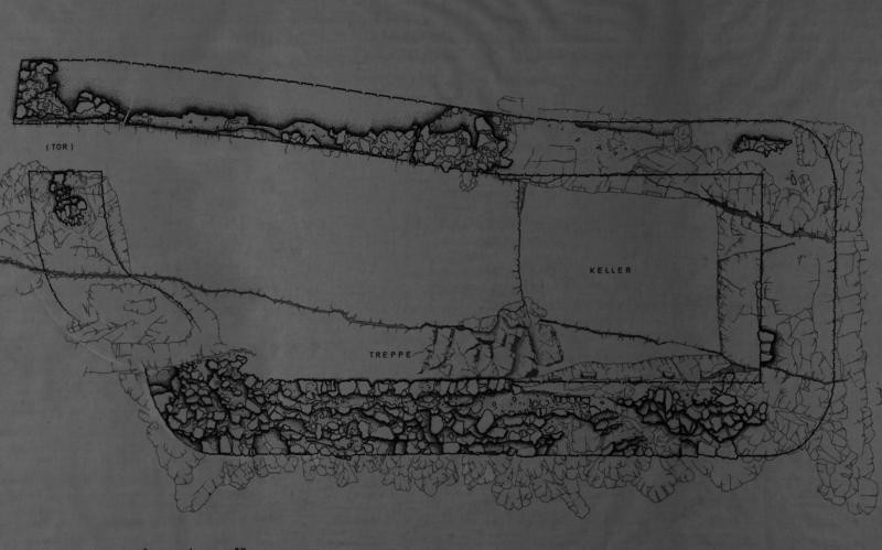
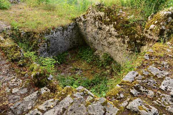
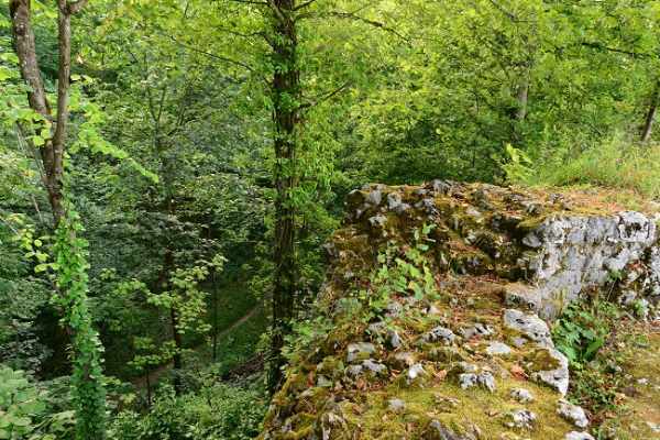
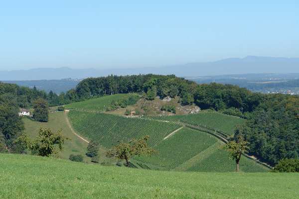
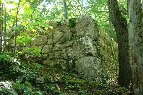
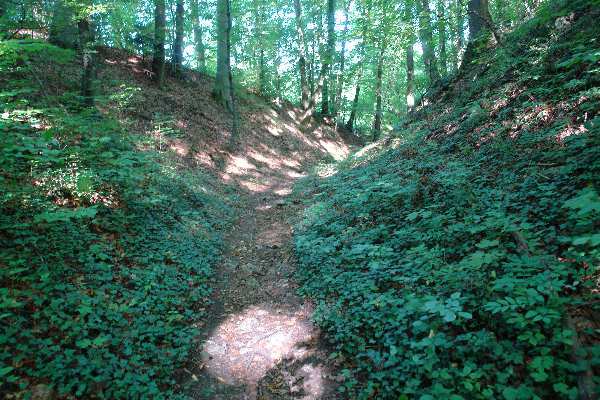
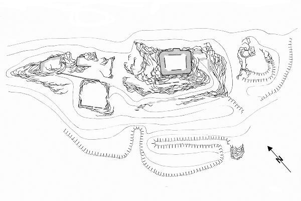
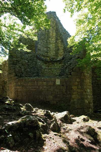
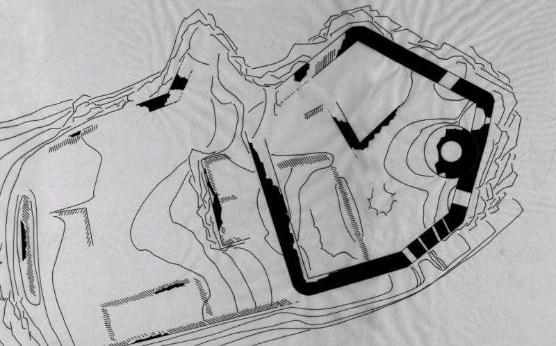
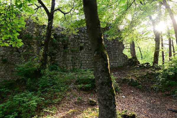
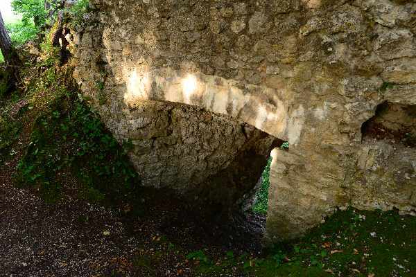
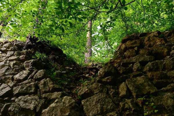
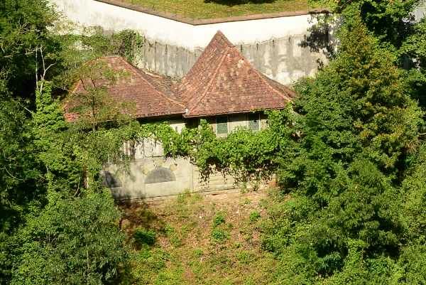
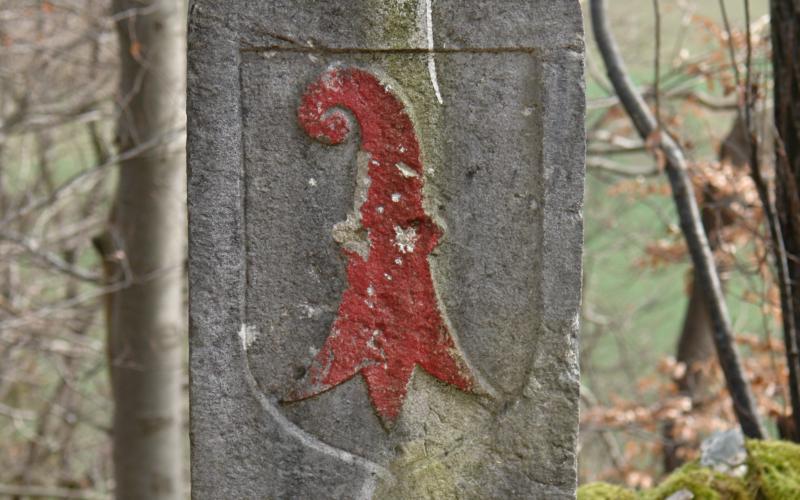
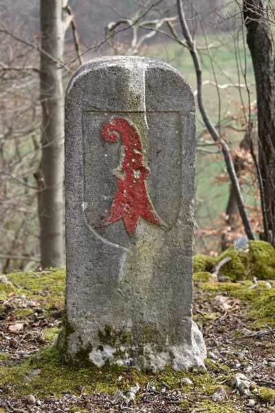
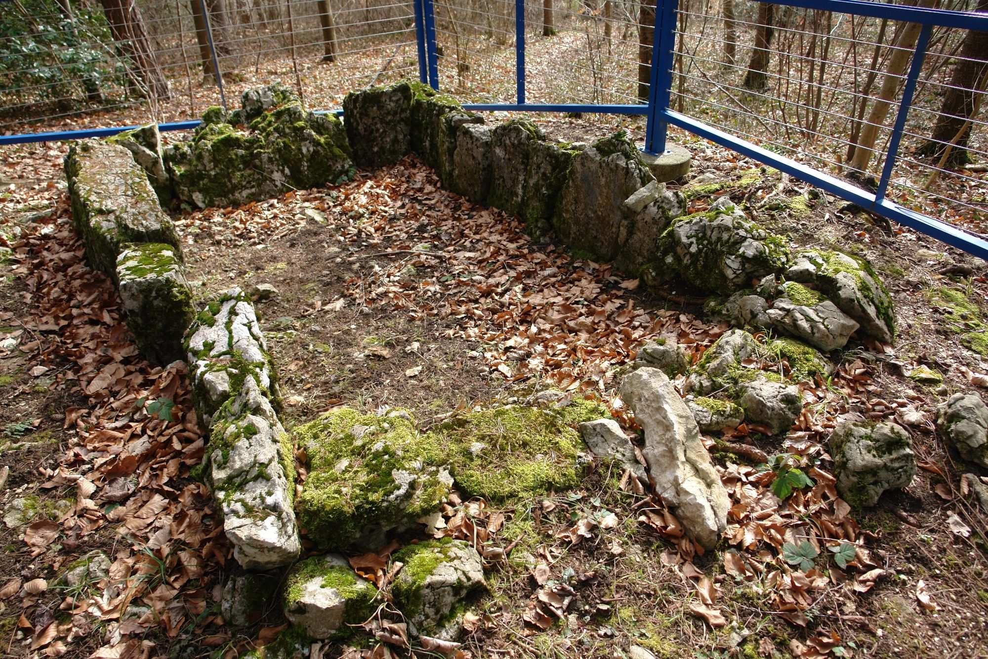
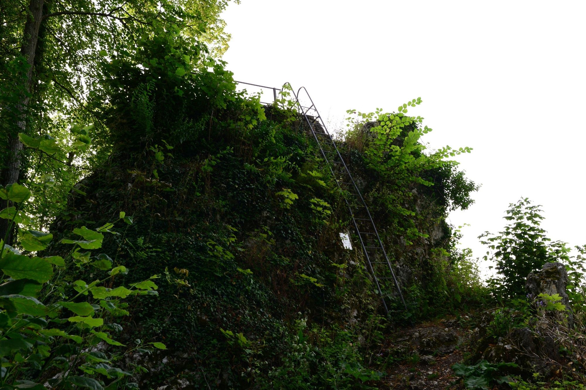
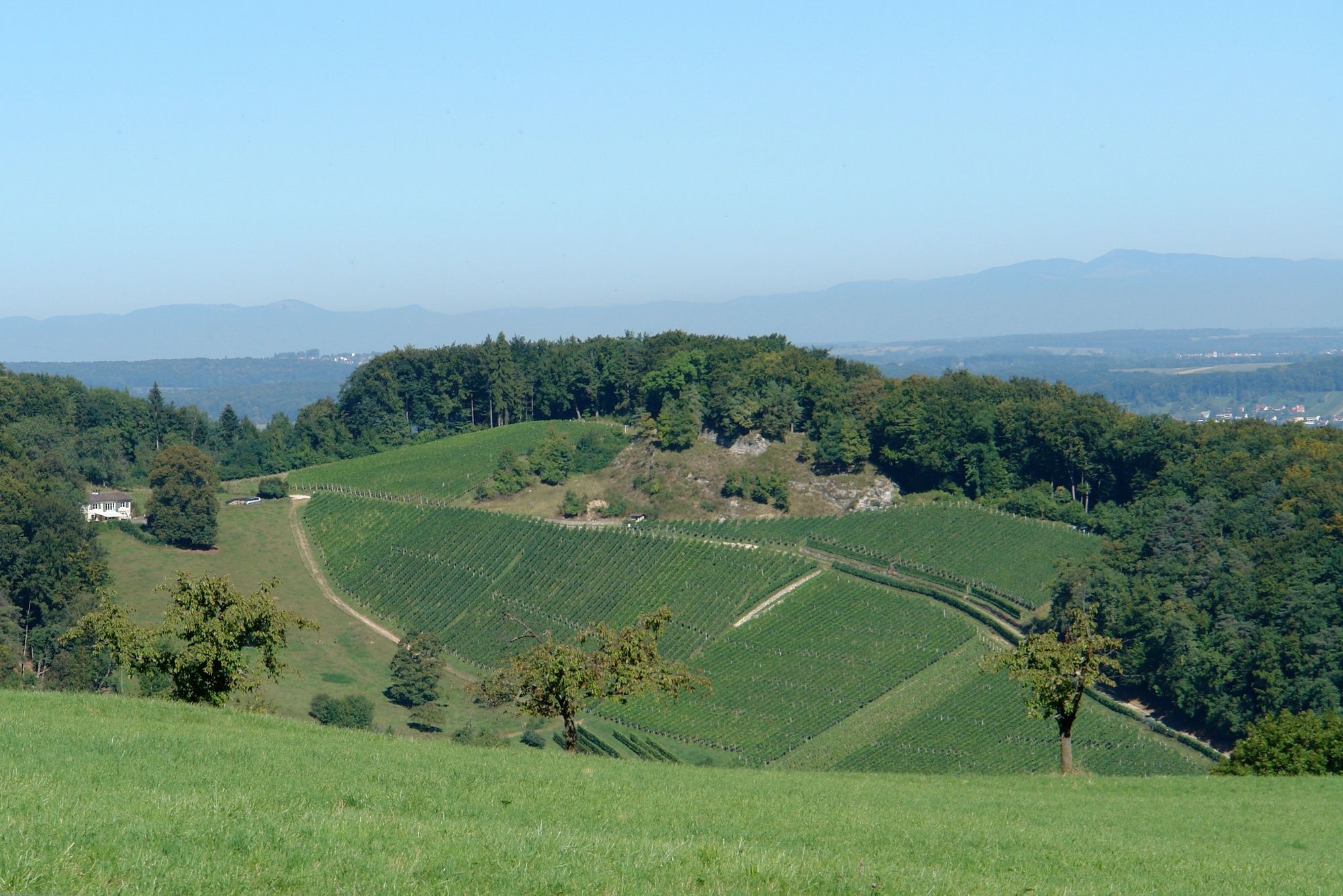
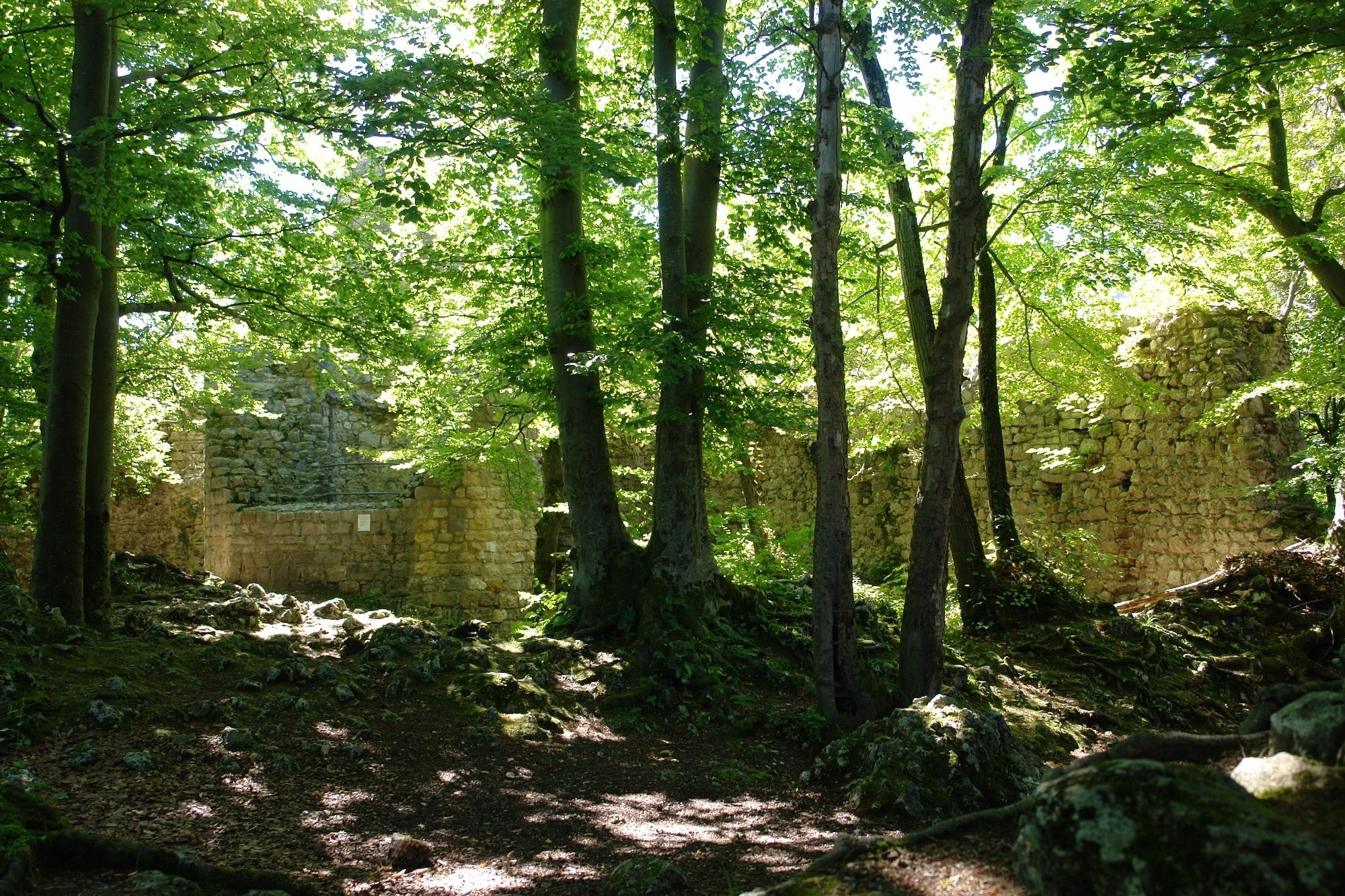
Aesch (315 m)Im Schlossgarten2,0 kmSchlossgut2,3 kmObere Rebmatt2,8 kmPfeffingen2,8 kmRüttimatt3,1 kmSteinbrunnen4,4 kmBlattenpass5,7 kmChlus7,7 kmSchalberghöhle8,0 kmAesch (315 m)11,3 km
- Punto più alto
- 576 m
- Profilo altimetrico
-
 © outdooractive.com


- Autore
-
Il tour Zum Blattenpass è utilizzato da outdooractive.com fornito.
GPS Downloads


Altri tour nelle regioni
-
Solothurn und Region
1453
-
Schwarzbubenland
827
-
Pfeffingen
281