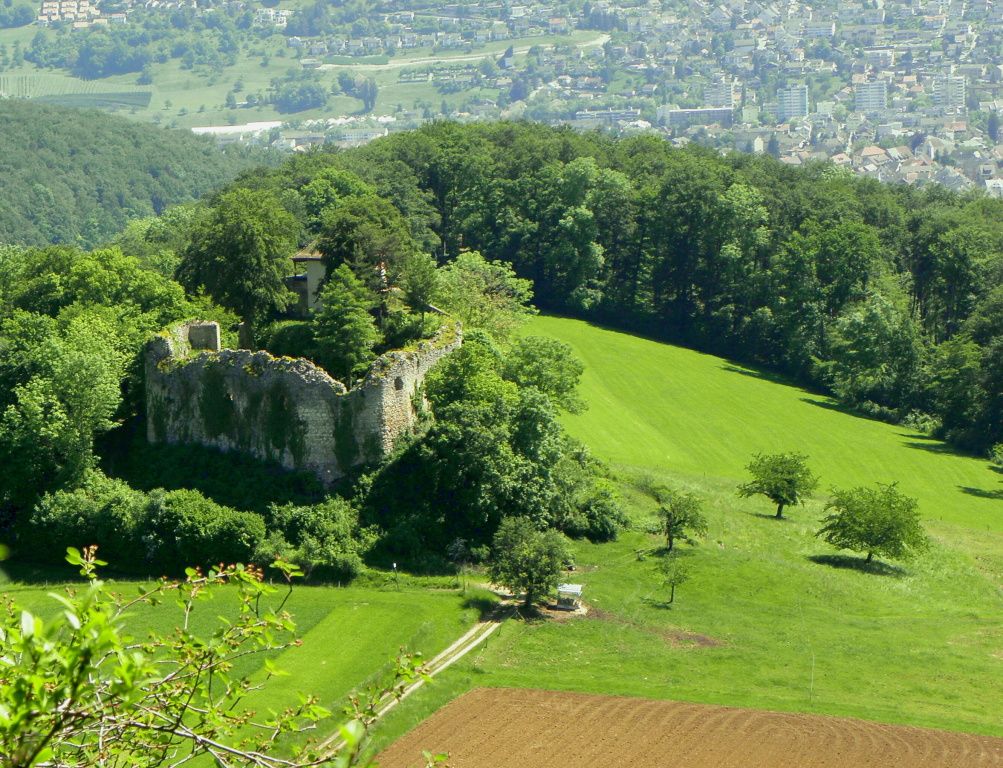
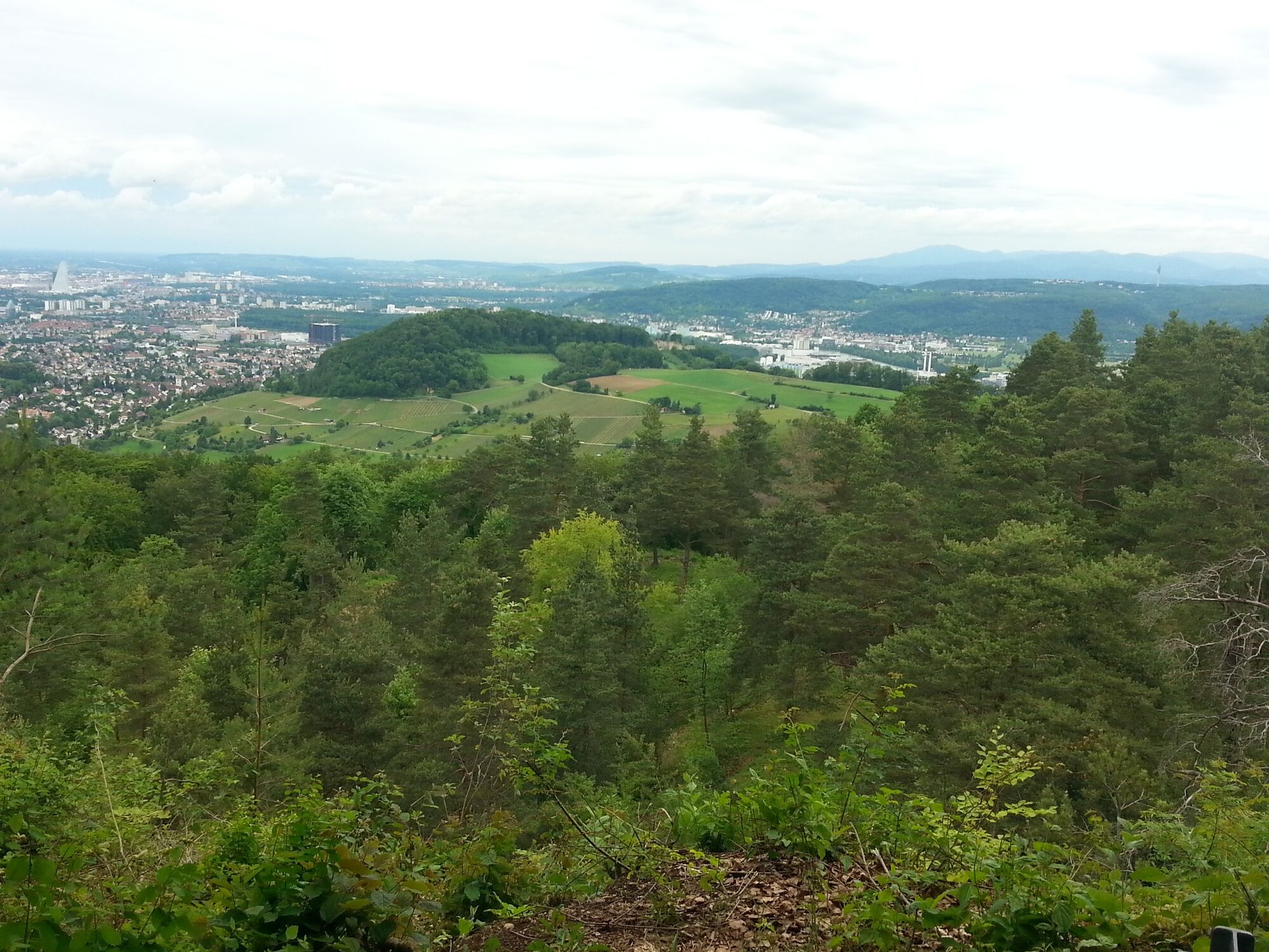
Basel und Umgebung: Viel Wald, schöne Ausblicke und viele Ruinen

Escursionismo


- Descrizione rapida
-
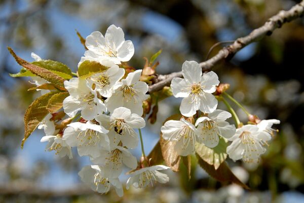
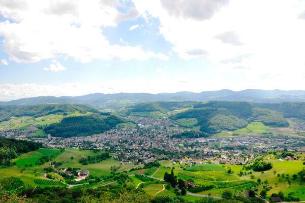
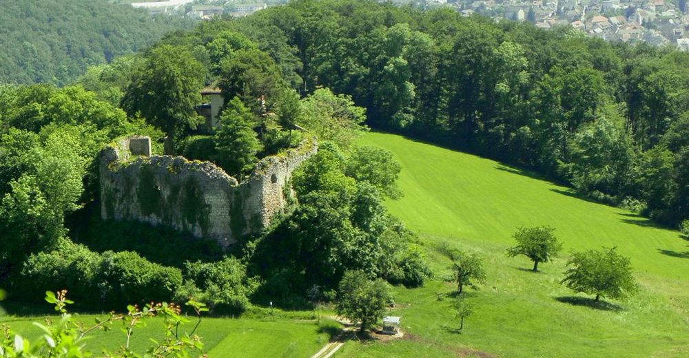
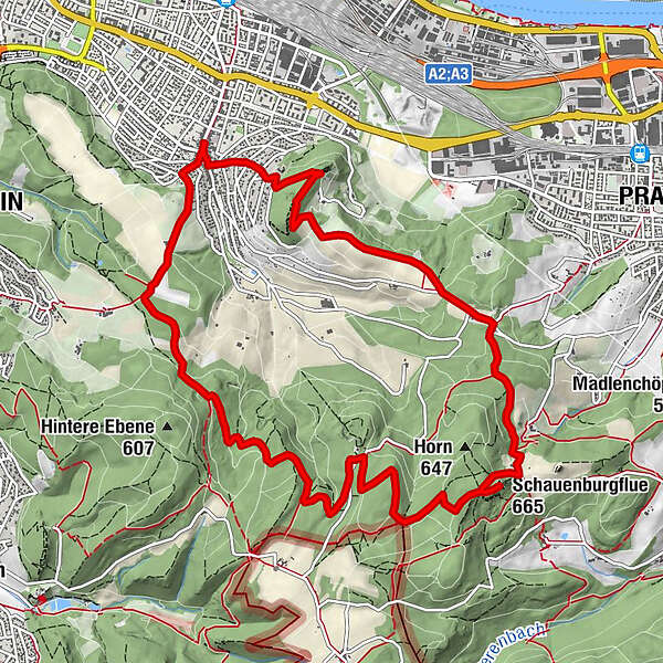
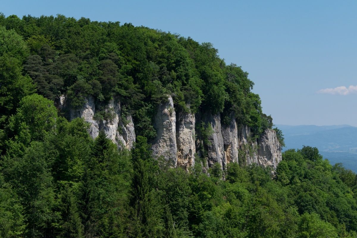
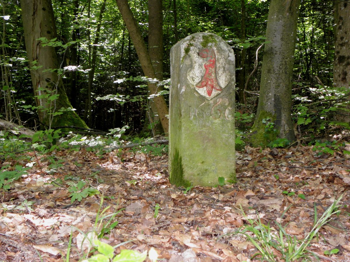
Die abwechslungsreiche Rundwanderung von Muttenz aus führt von Hügel zu Hügel, über Natursträsschen und Pfade zu Aussichtspunkten, Picknickplätzen und begehbaren Ruinen.
- Difficoltà
-
intermedio
- Valutazione
-
- Percorso
-
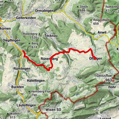
Muttenz (292 m)Fortified Church of St. Arbogast0,1 kmSulzchopf (581 m)4,8 kmSchauenburgflue (665 m)6,8 kmPratteln (296 m)8,8 kmEglisgraben8,9 kmEgglisgraben8,9 kmWartenberg (479 m)10,8 kmFortified Church of St. Arbogast12,3 kmMuttenz (292 m)12,5 km
- La stagione migliore
-
genfebmaraprmaggiulugagosetottnovdic
- Punto più alto
- 662 m
- Destinazione
-
Muttenz, Mittenza
- Profilo altimetrico
-
 © outdooractive.com

-

-
AutoreIl tour Basel und Umgebung: Viel Wald, schöne Ausblicke und viele Ruinen è utilizzato da outdooractive.com fornito.
GPS Downloads


Info generali
Culturale/Storico
Promettente
Altri tour nelle regioni
-
Solothurn und Region
1456
-
Baselland
780
-
Muttenz
270