
© Baselland Tourismus - Bettina Gysin

© Baselland Tourismus - Tschubby, Wikimedia.commons.org


- Descrizione rapida
-
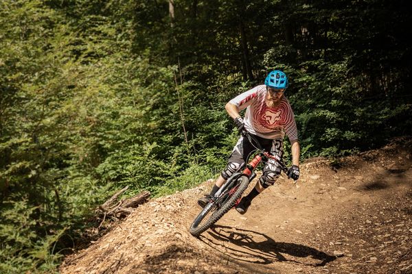
Der Blauen ist für lokale MountainbikerInnen so etwas wie der Louvre für Paris-Liebhaber.
- Difficoltà
-
intermedio
- Valutazione
-
- Percorso
-
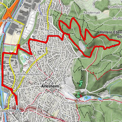
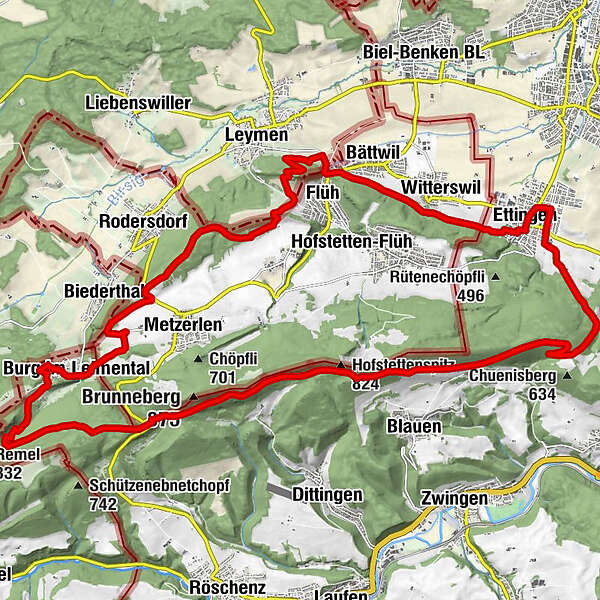
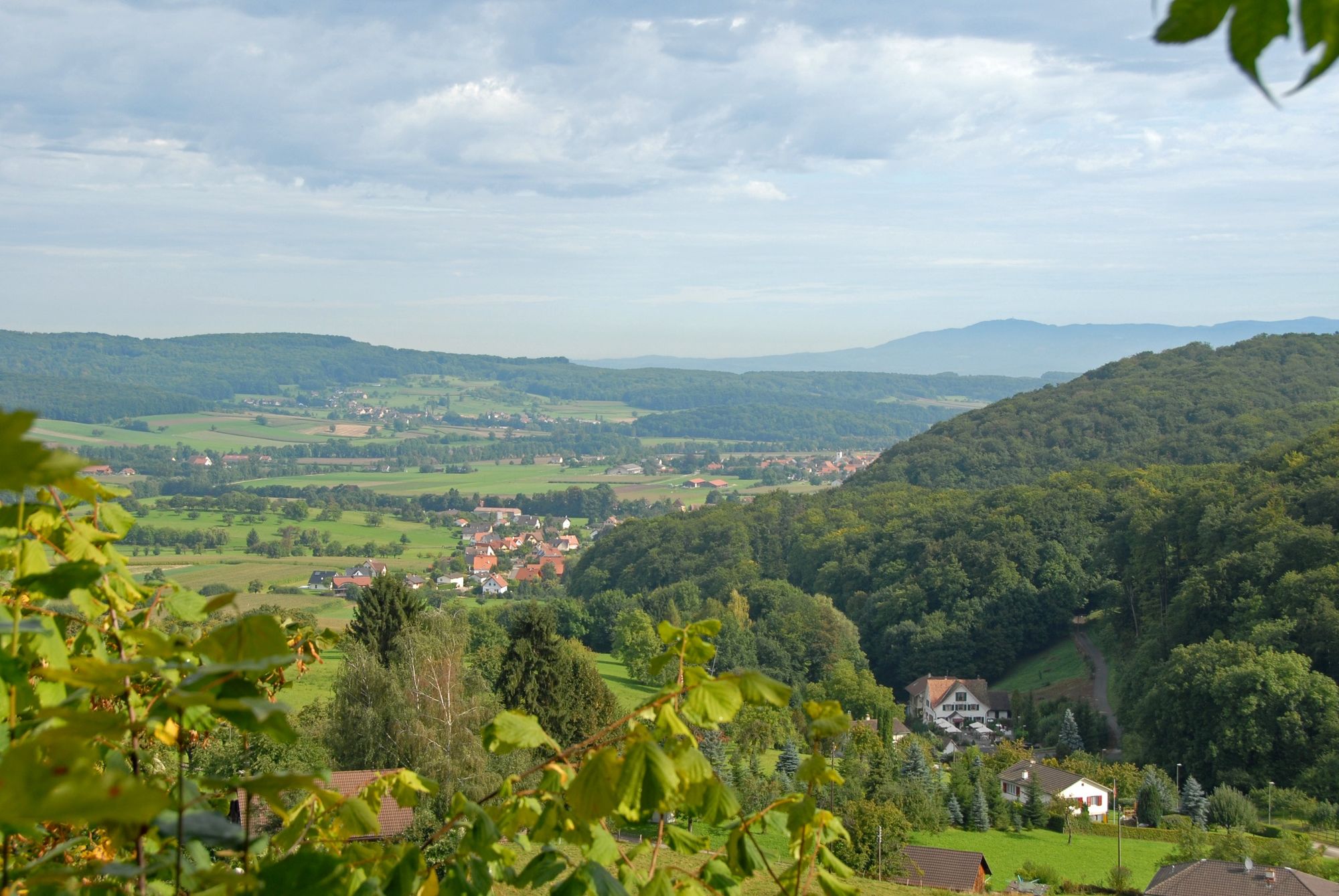
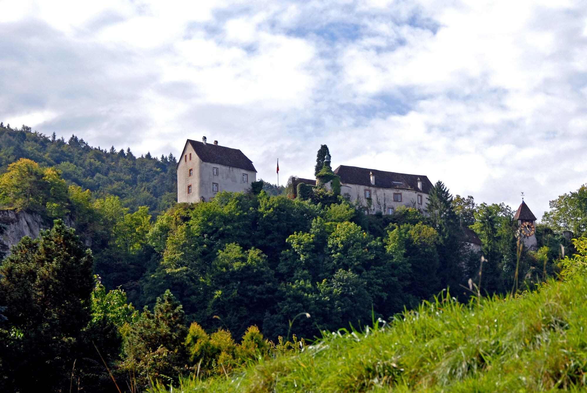
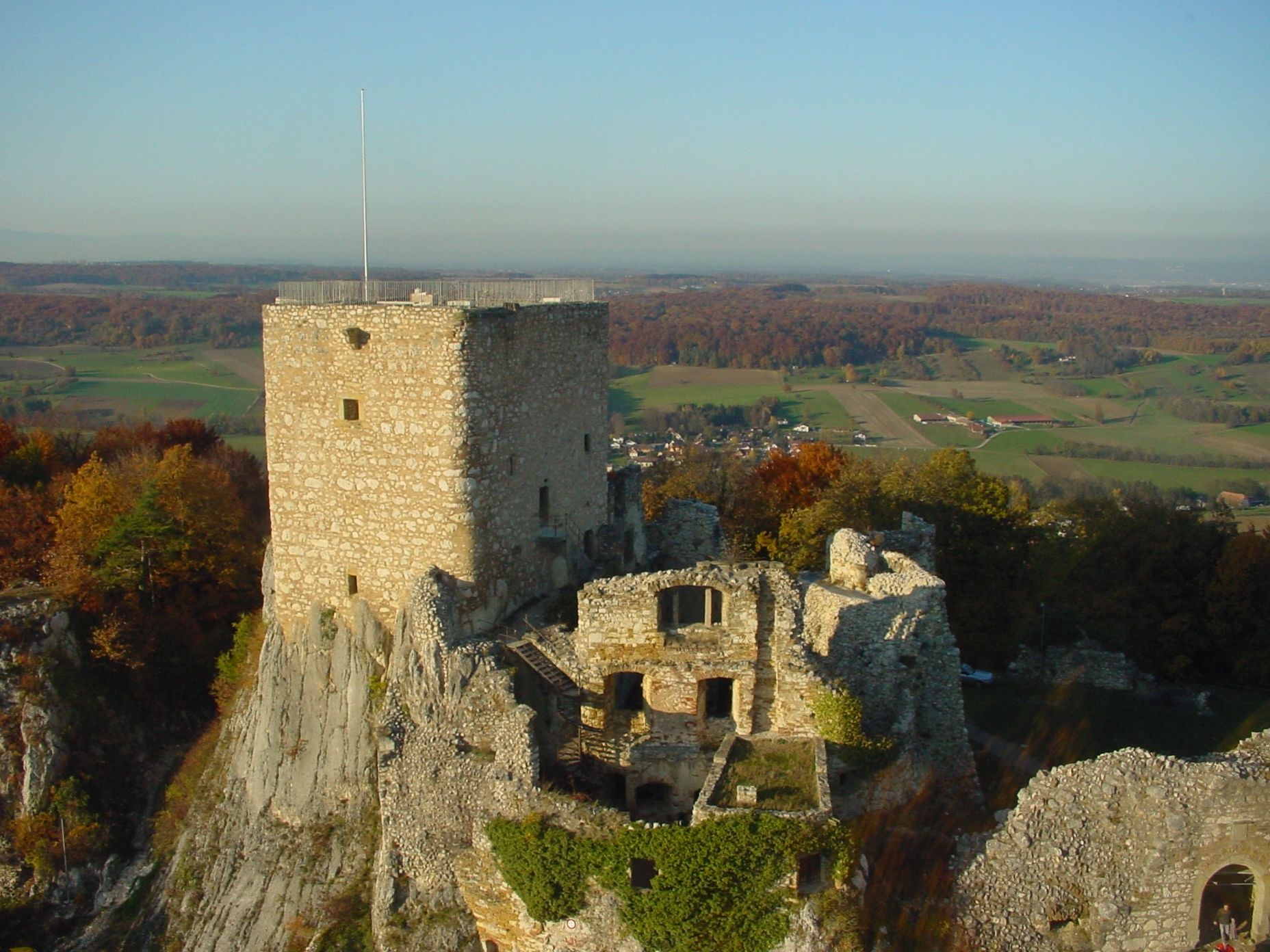
Ettingen (331 m)Blattenpass3,2 kmHofstettenspitz (824 m)8,1 kmMätzlerchrüz (788 m)9,3 kmIm Rebholz16,1 kmBurg im Leimental (477 m)17,2 kmBiedertal19,2 kmHameau de Tannenwald23,8 kmLandskronberg24,7 kmLeimen25,4 kmStocketen26,0 kmFlüh26,7 kmBättwil (360 m)27,5 kmWitterswil (338 m)28,7 kmEttingen (331 m)30,9 km
- La stagione migliore
-
genfebmaraprmaggiulugagosetottnovdic
- Punto più alto
- 787 m
- Destinazione
-
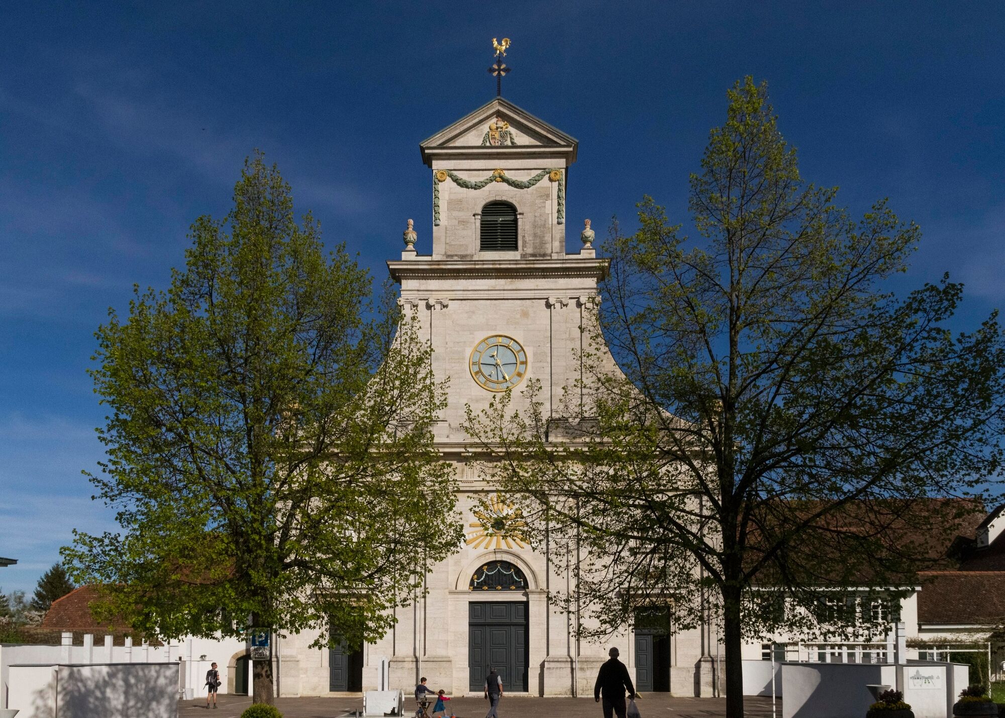
Ettingen
- Profilo altimetrico
-
 © outdooractive.com
- Autore
-
Il tour Blauen-Tour è utilizzato da outdooractive.com fornito.
GPS Downloads
Info generali
Punto di ristoro
Promettente
Altri tour nelle regioni
-
Kanton Jura
59
-
Saint-Louis Agglomération
34
-
Bättwil
18