Dati percorsi
8,54km
570
- 797m
295hm
262hm
02:11h
- Descrizione rapida
-
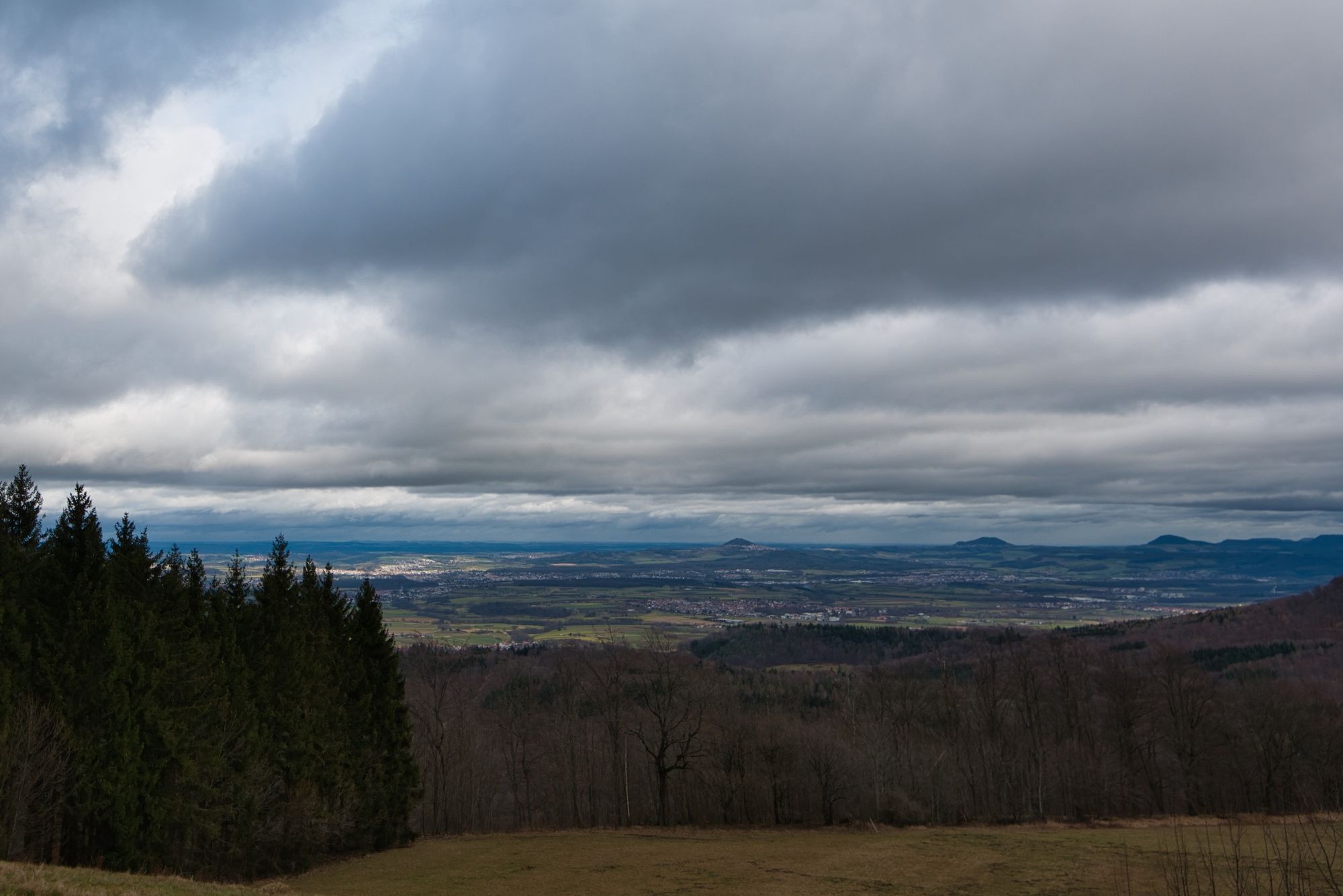
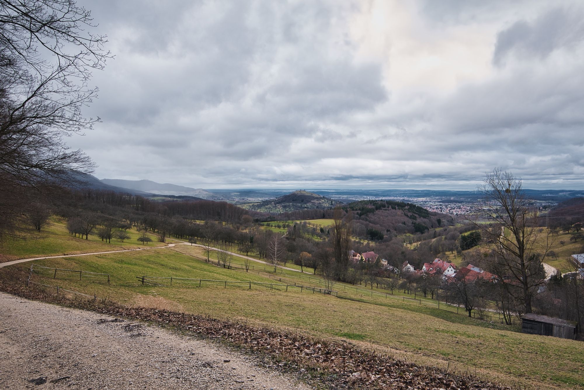
Abwechslungsreiche Wanderung.
- Difficoltà
-
intermedio
- Valutazione
-
- Punto di partenza
-
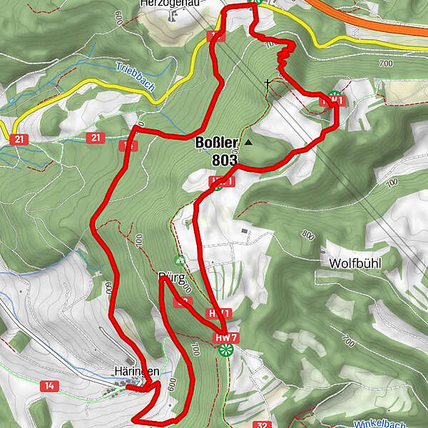
Häringen
- Percorso
-
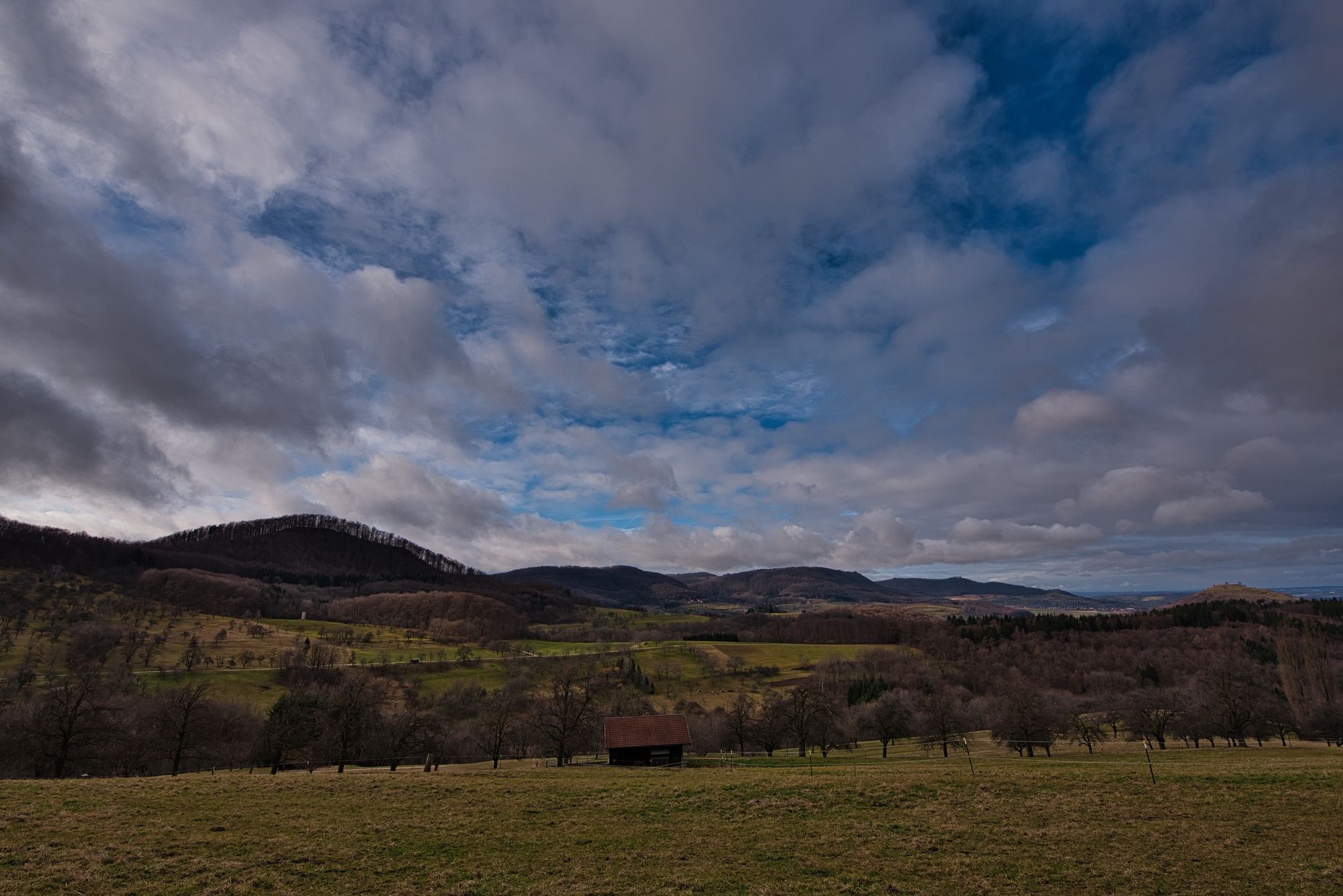
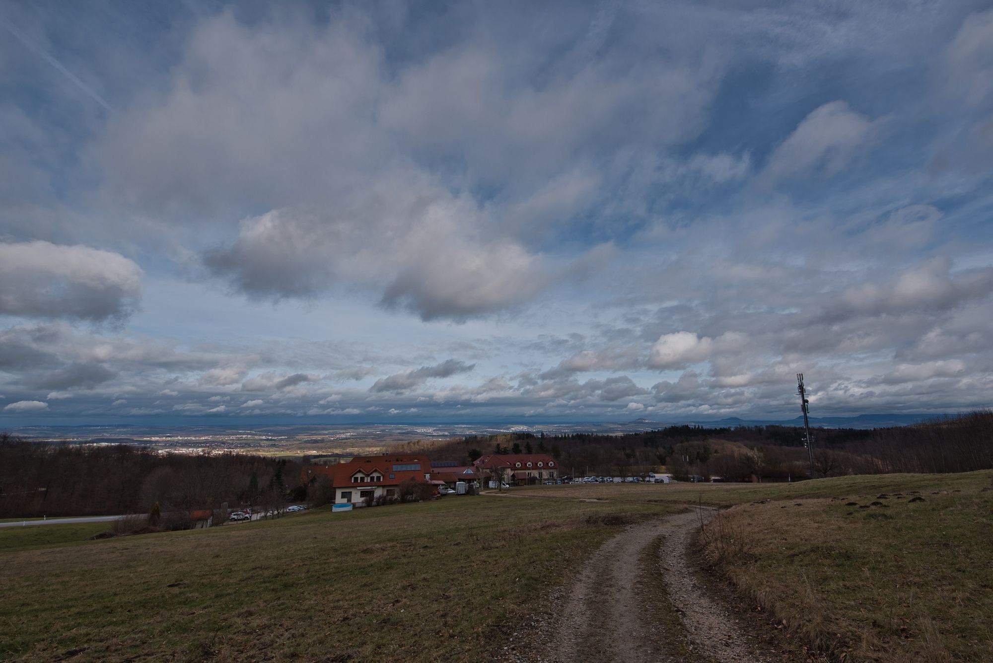
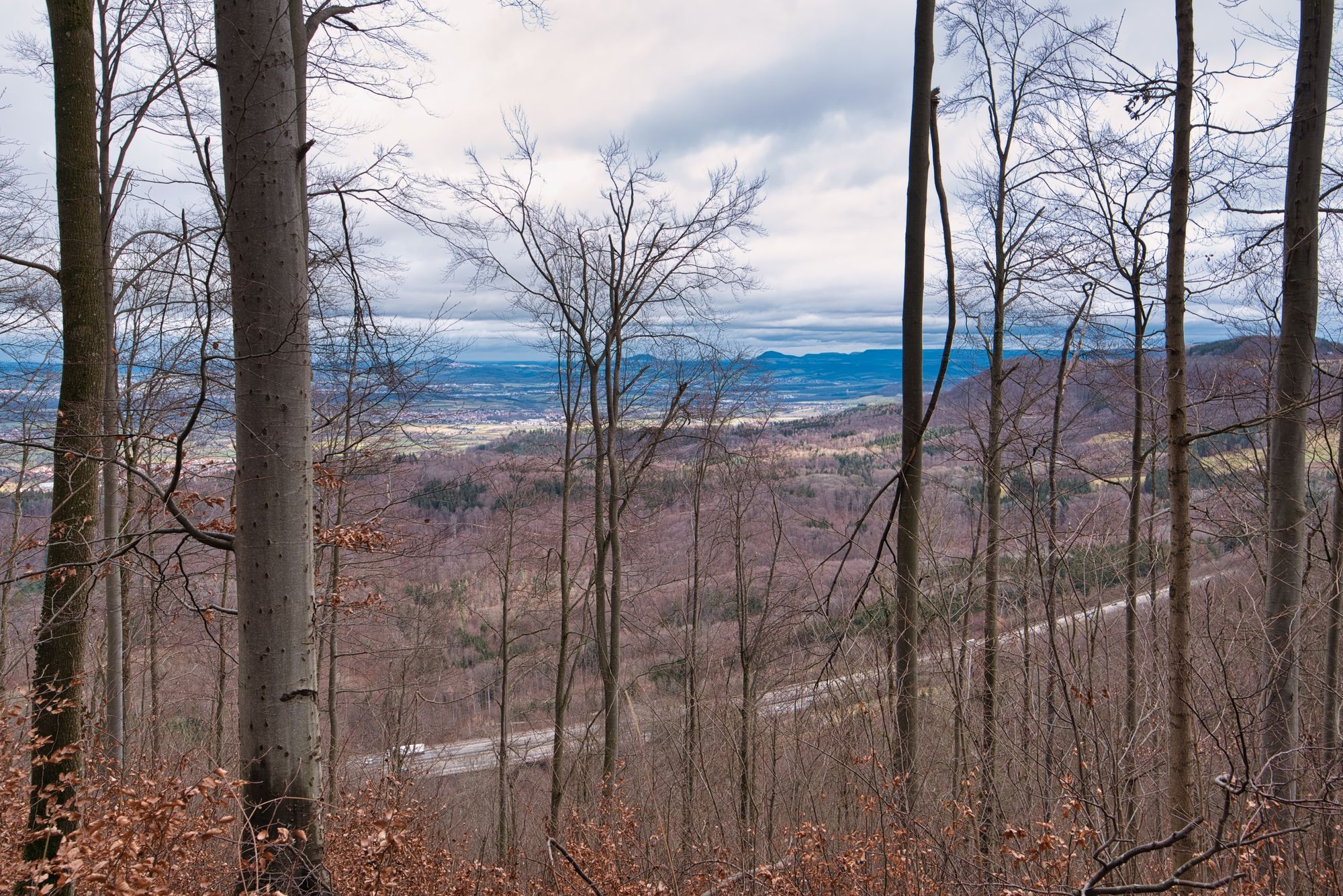
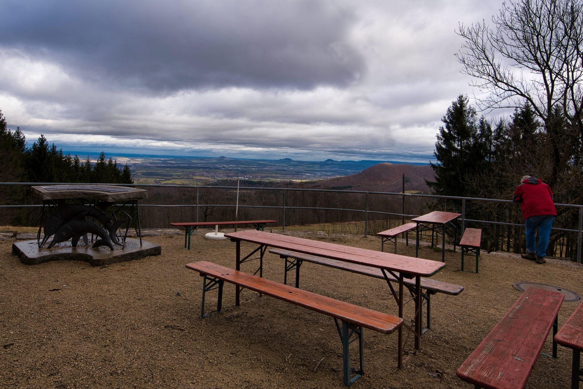
Landgasthof-Metzgerei RössleHäringen0,0 kmLandgasthof Deutsches Haus3,2 kmNaturfreundehaus4,5 kmBoßlerhaus4,5 kmGruibinger Wiesle5,5 kmBürg6,0 kmHäringen8,5 km
- La stagione migliore
-
genfebmaraprmaggiulugagosetottnovdic
- Punto più alto
- 797 m
- Destinazione
-
Häringen
- Riposo/Ritiro
-
Häringen Rößle (offen Fr-So), deutsches Haus, Naturfreundehaus Boßler (offen Sa-So)
GPS Downloads


Condizioni dei sentieri
Asfalto
Ghiaia
Prato
Foresta
Roccia
Esposta
Altri tour nelle regioni
-
Schwäbische Alb
1240
-
Alb-Donau-Kreis
191
-
Bad Boll
225