© Wikimedia Commons - Giacomo1970

© Wikimedia Commons - Rauenstein

© Wikimedia Commons - Taxiarchos228
- Descrizione rapida
-
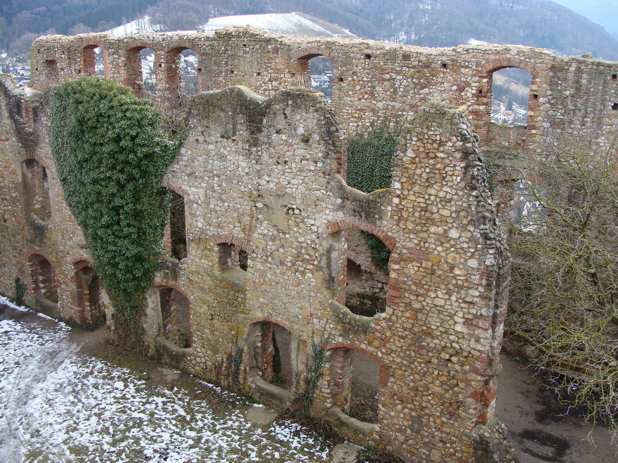
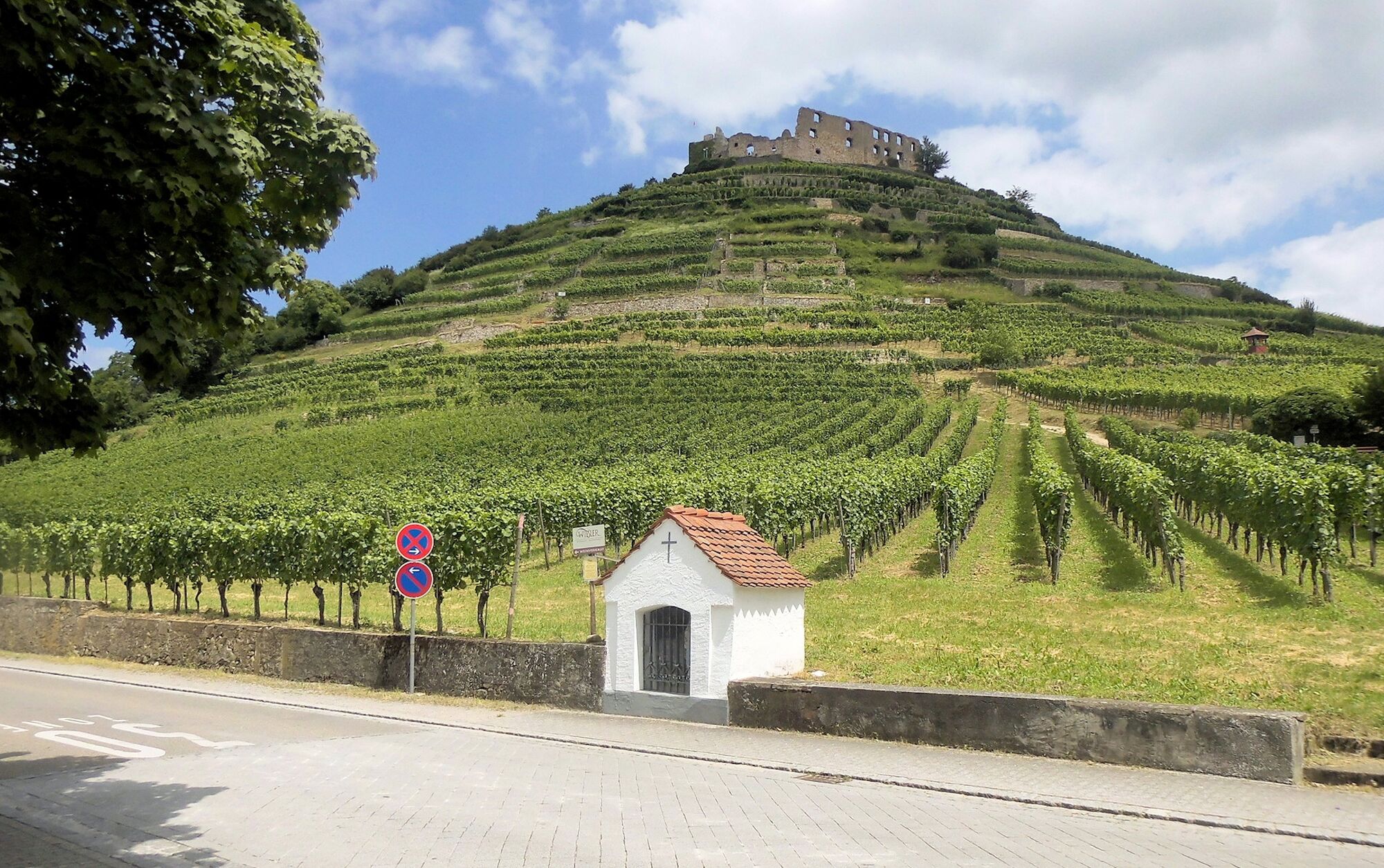
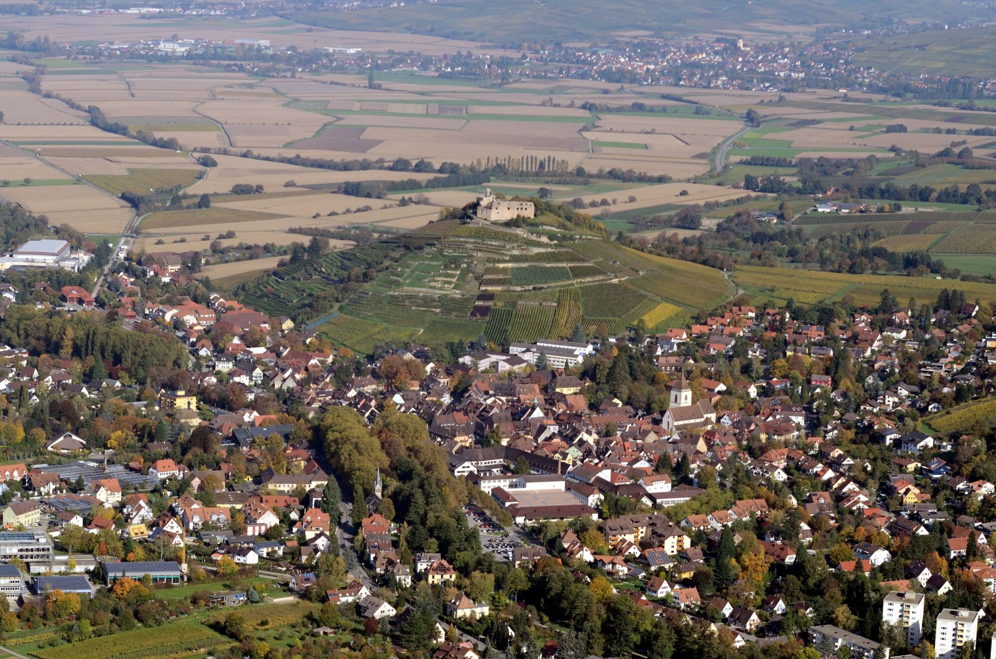
Wir starten im malerischen Städtchen Staufen und kommen nach einem kurzen Anstieg zur Burgruine Staufen mit schönem Blick über die Rheinebene.
- Difficoltà
-
facile
- Valutazione
-
- Percorso
-
Staufen im Breisgau0,2 kmMarienkapelle0,3 kmBurg Staufen1,1 kmEhrenkapelle2,1 kmSt.-Johannes-Kapelle4,4 km
- La stagione migliore
-
genfebmaraprmaggiulugagosetottnovdic
- Punto più alto
- 422 m
- Profilo altimetrico
-
 © outdooractive.com
- Autore
-
Il tour Staufener Panoramaweg è utilizzato da outdooractive.com fornito.
GPS Downloads


Info generali
Punto di ristoro
Culturale/Storico
Promettente
Altri tour nelle regioni
-
Schwarzwald
1858
-
Markgräflerland
664
-
Staufen im Breisgau
337