© Walter Biselli

© Walter Biselli

© Walter Biselli

© Walter Biselli

© Walter Biselli

© Walter Biselli

© Walter Biselli

© Walter Biselli

© Walter Biselli

© Walter Biselli
Dati percorsi
22,34km
533
- 920m
633hm
791hm
07:30h
- Descrizione rapida
-
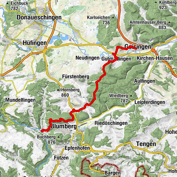
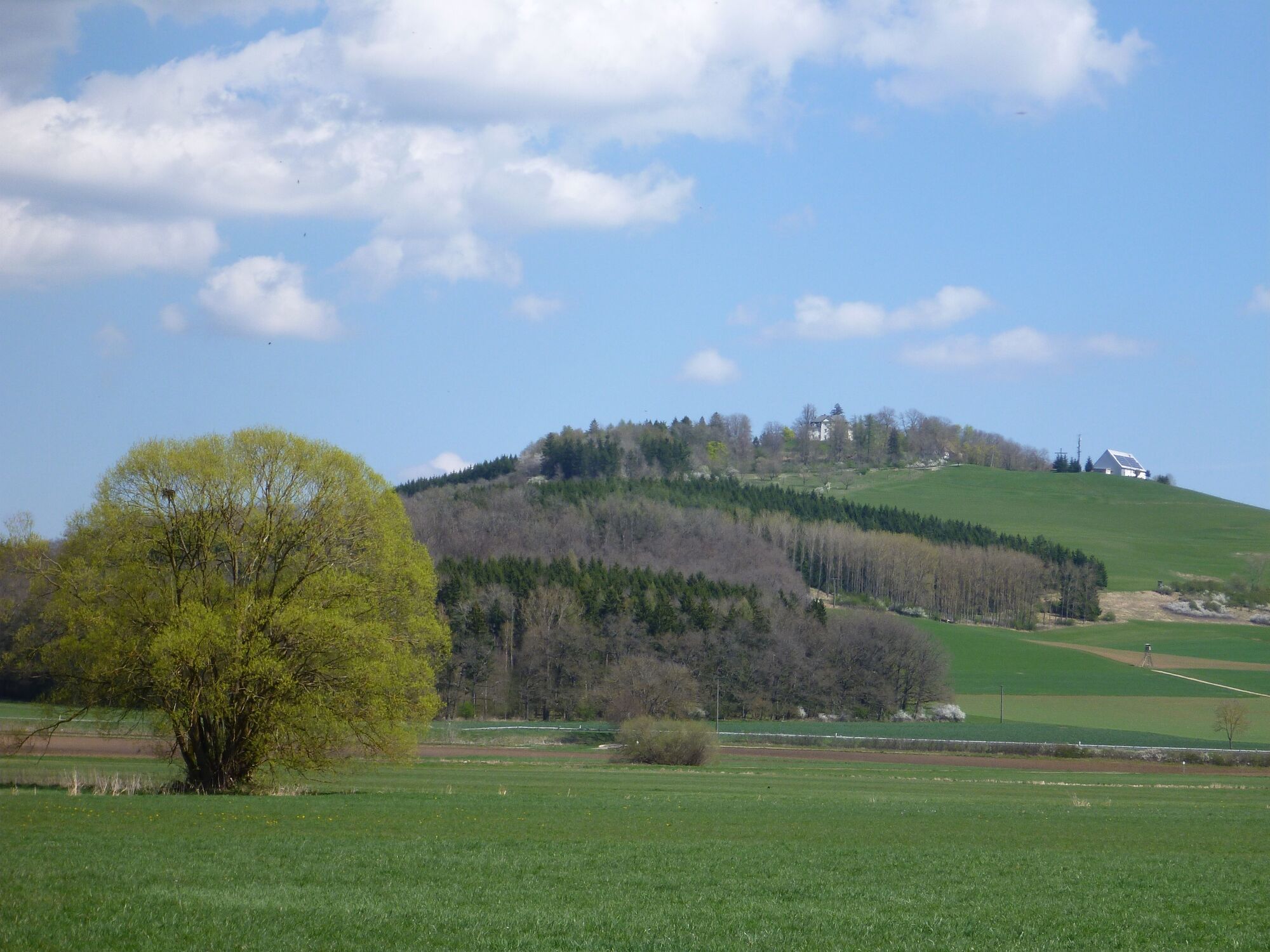
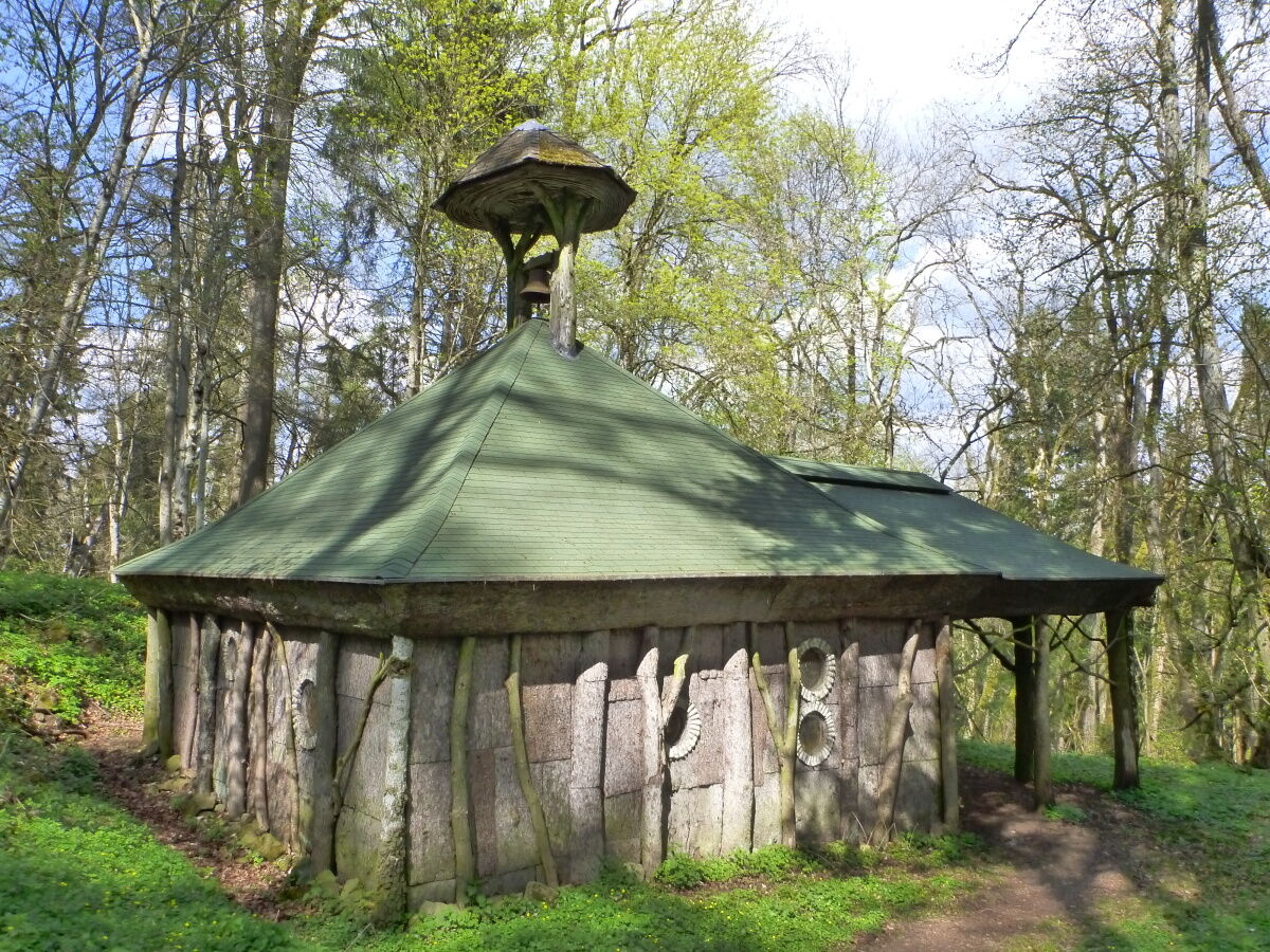
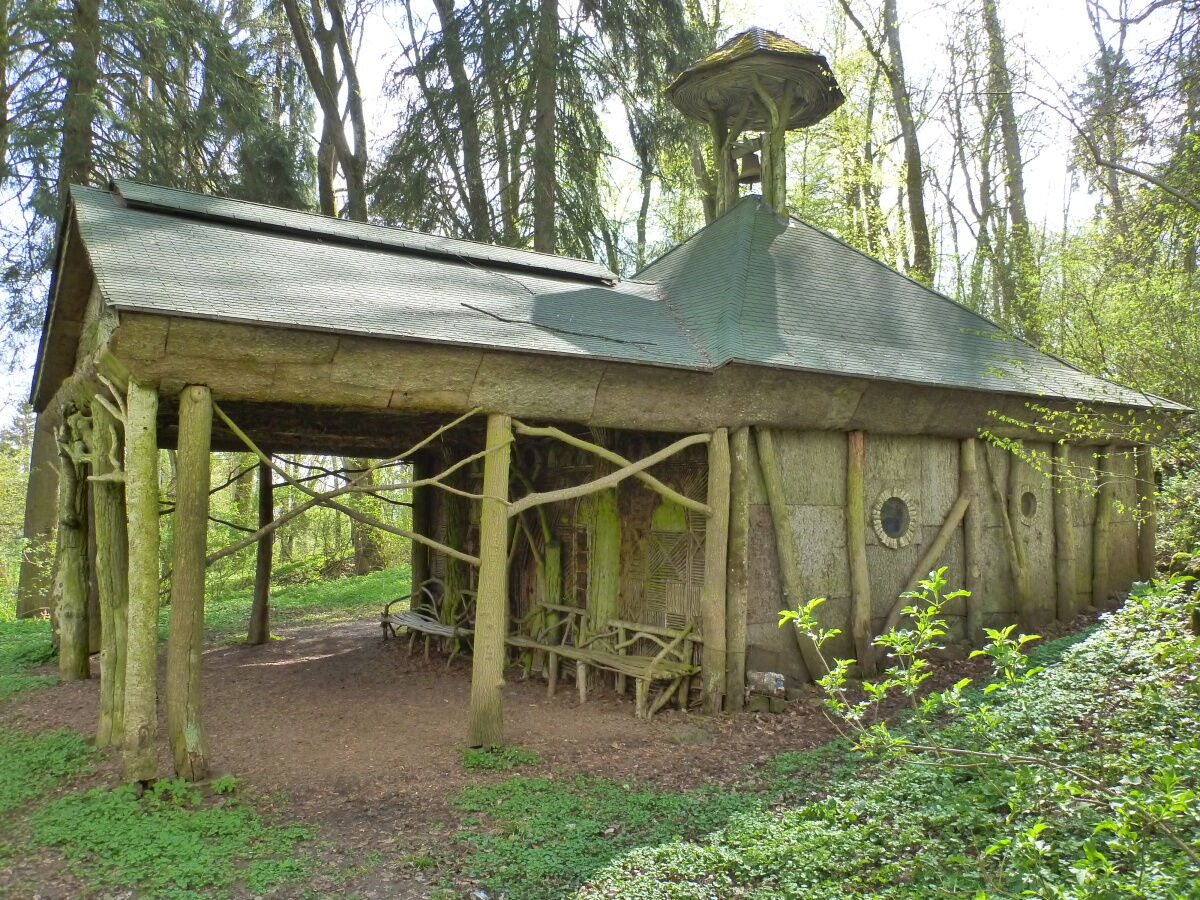
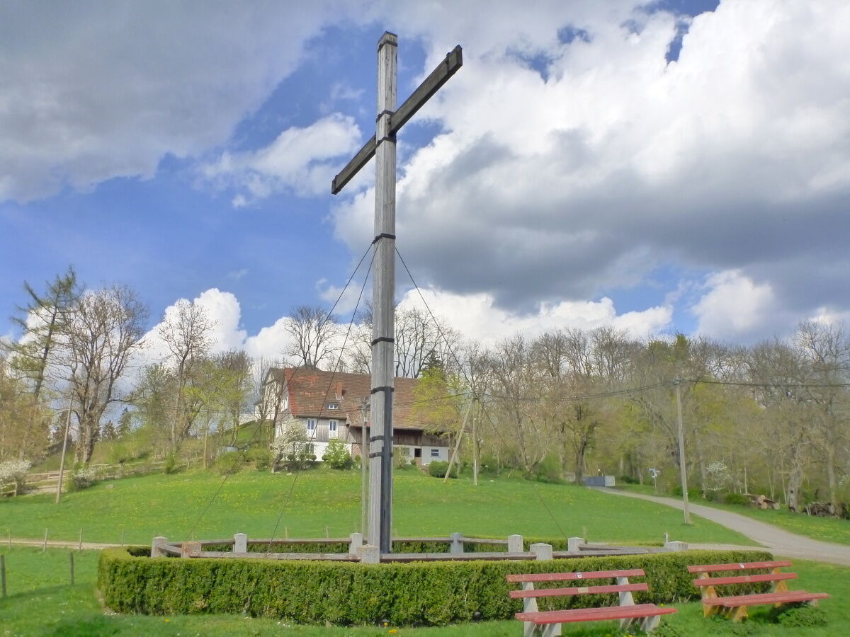
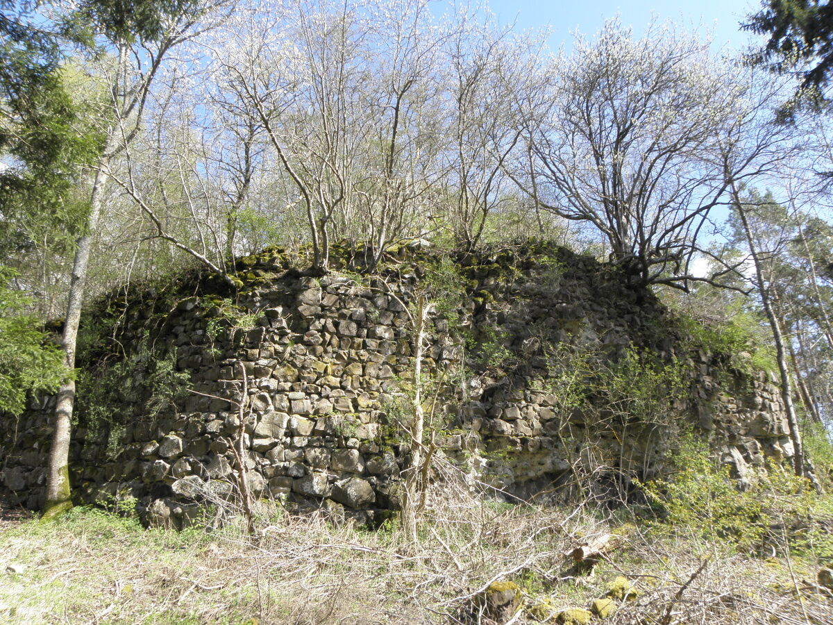
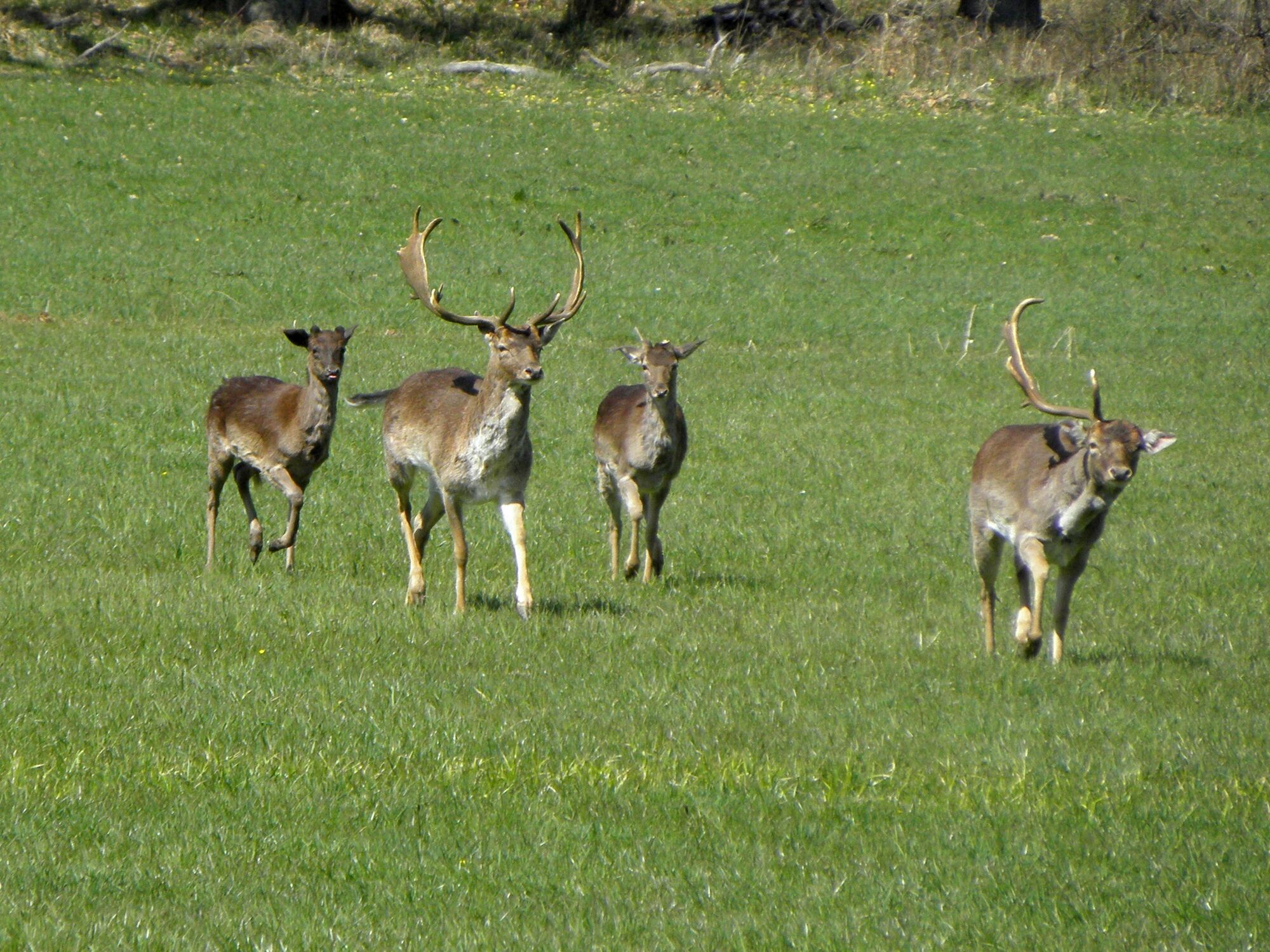
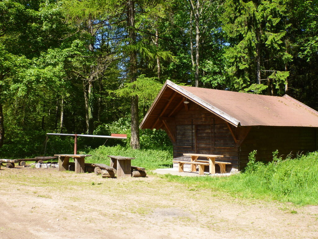
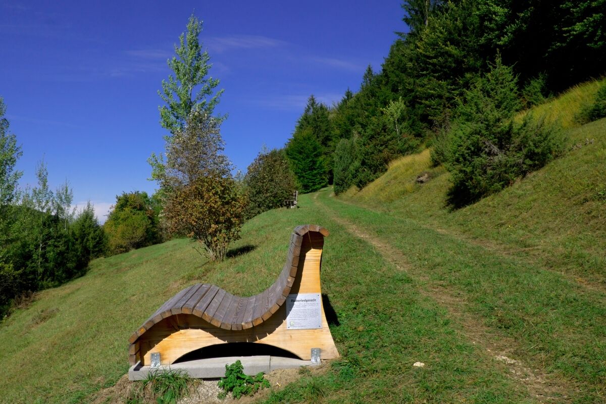
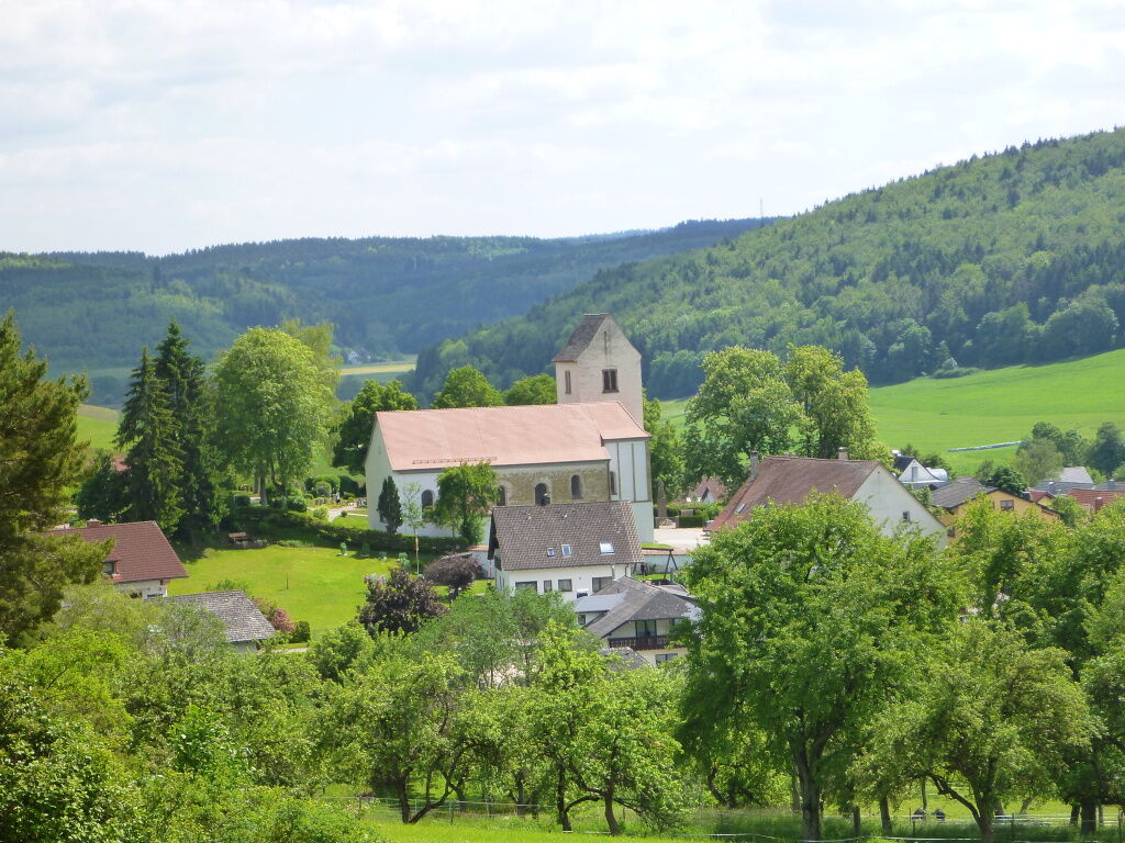
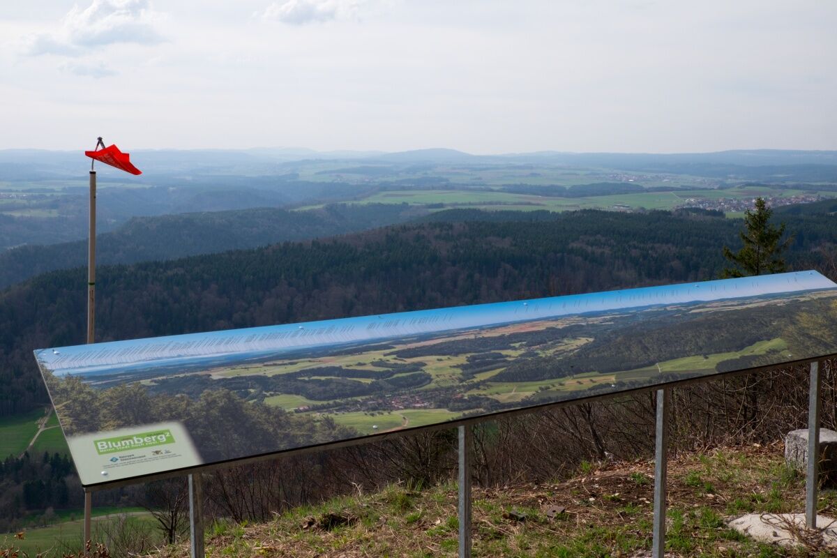
Im früheren Herrschaftsgebiet der Fürstenberger wandern wir auf und ab durch eine abwechslungsreiche und grüne Naturlandschaft am Übergang zwischen Schwarzwald und Schwäbische Alb.
- Difficoltà
-
difficile
- Valutazione
-
- Percorso
-
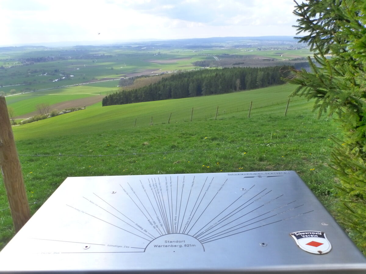
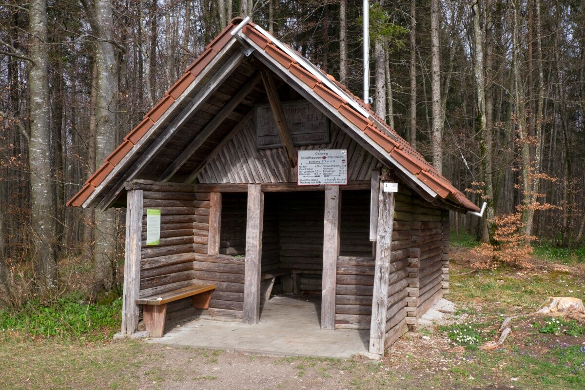
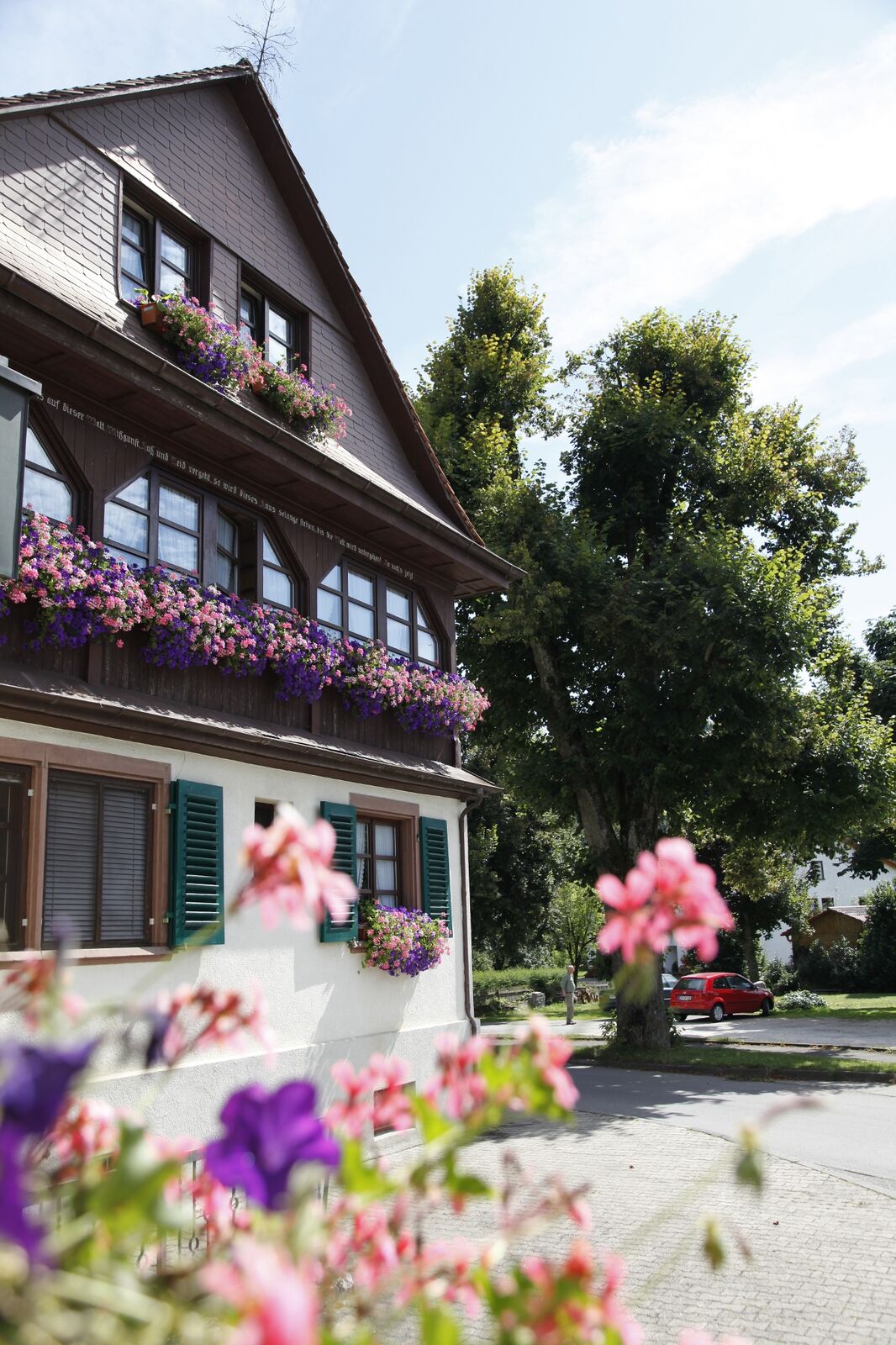
GeisingenStadtkirche St. NikolausHeilig-Kreuz-Kirche0,1 kmWartenberg (844 m)2,4 kmGutmadingen4,8 kmRestaurant mundart "Scheune"4,8 kmMaria Trost Kapelle4,9 kmSt. Konrad4,9 kmSt. Martin12,3 kmHondingen12,5 kmBlumberg (704 m)17,2 kmEichberg (914 m)19,1 kmEichberg (913 m)19,3 kmAchdorf22,3 kmLandgasthaus Scheffellinde22,3 km
- La stagione migliore
-
genfebmaraprmaggiulugagosetottnovdic
- Punto più alto
- 920 m
- Destinazione
-
Achdorf
- Profilo altimetrico
-
 © outdooractive.com


- Autore
-
Il tour Ostweg: Geisingen - Achdorf è utilizzato da outdooractive.com fornito.
GPS Downloads


Info generali
Punto di ristoro
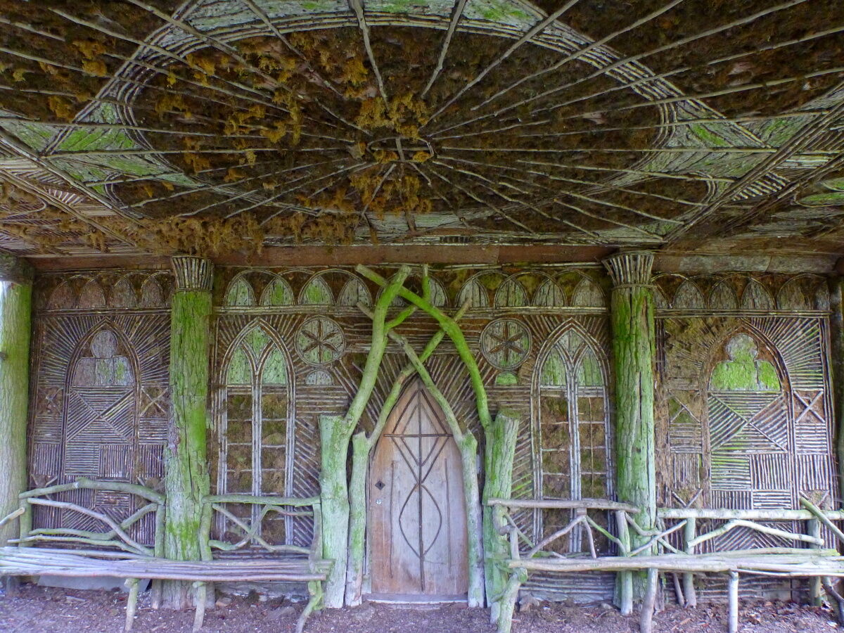
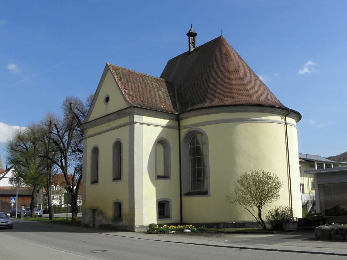
Culturale/Storico
Promettente
Altri tour nelle regioni
-
SchaffhauserLand
1027
-
Ferienregion Wutachschlucht
603
-
Blumberg
135