© Westlicher Bodensee - Albrecht Loeble

© Westlicher Bodensee - Albrecht Loeble

© Westlicher Bodensee - Albrecht Loeble

© Westlicher Bodensee - Albrecht Loeble

© Westlicher Bodensee - Albrecht Loeble

© Westlicher Bodensee - Albrecht Loeble

© Westlicher Bodensee - Albrecht Loeble

© Westlicher Bodensee - Albrecht Loeble

© Westlicher Bodensee - Albrecht Loeble
- Descrizione rapida
-
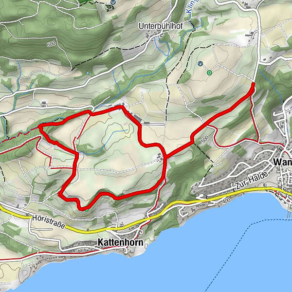
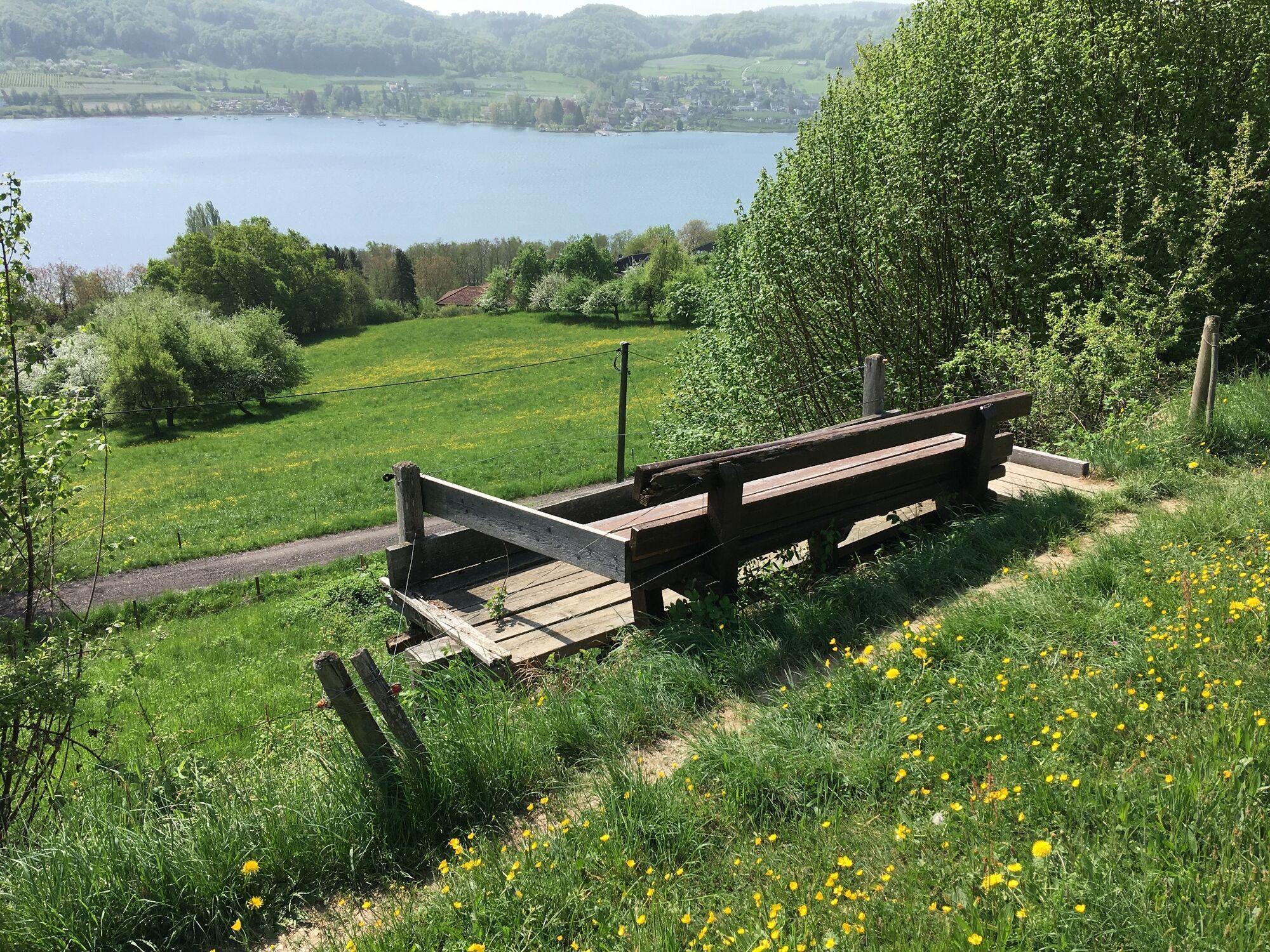
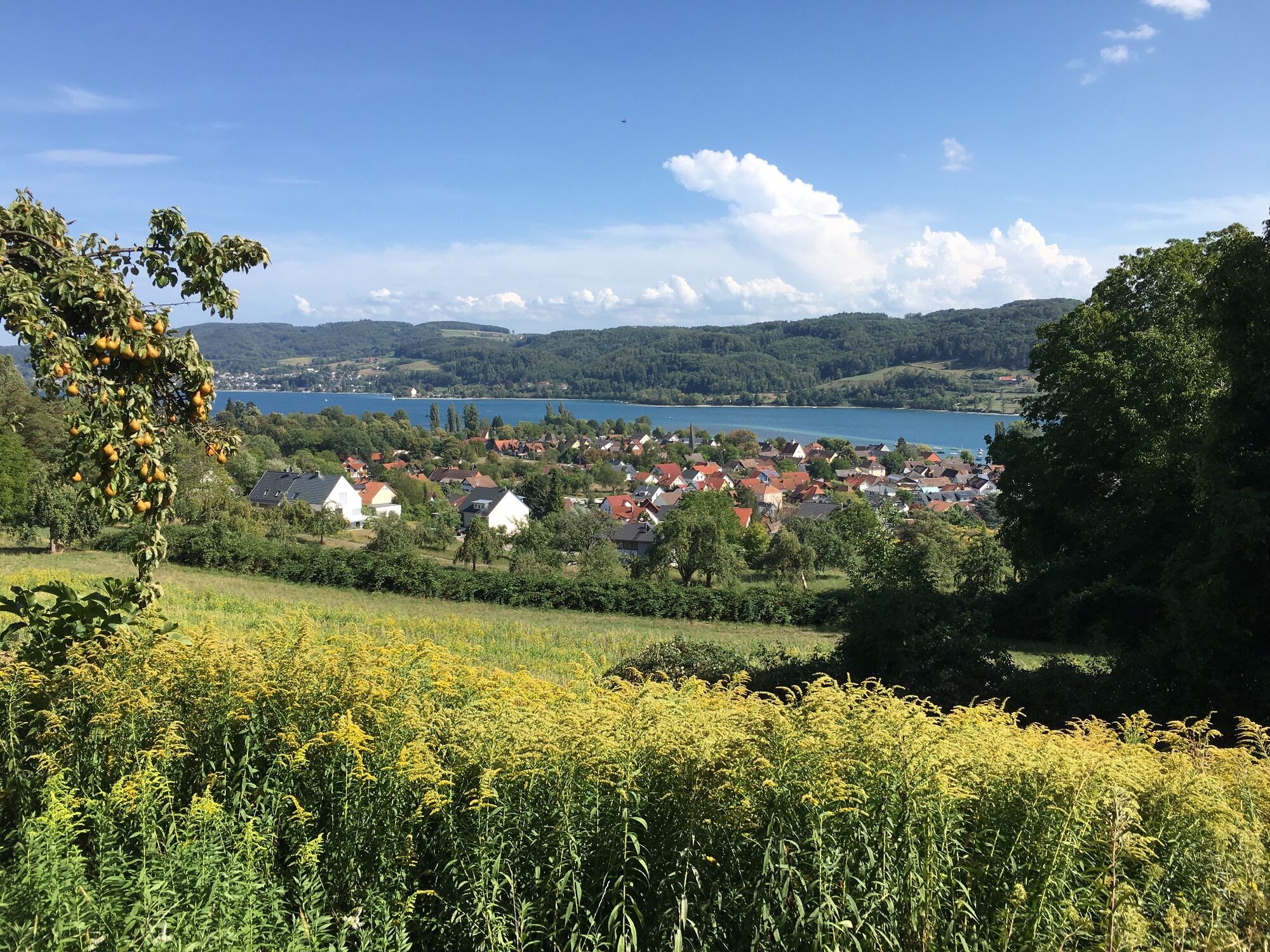
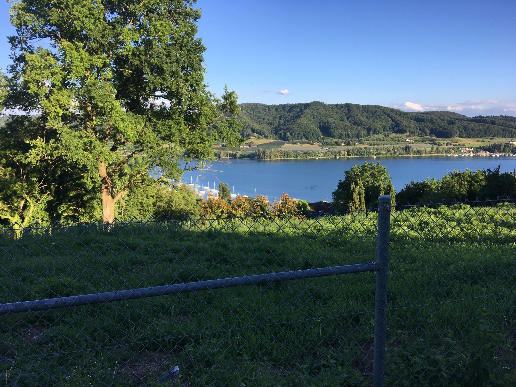
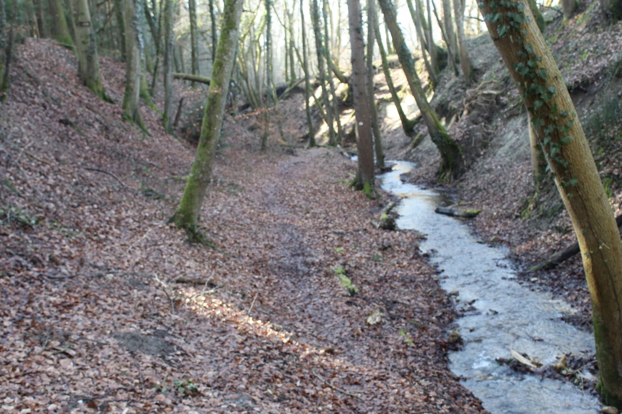
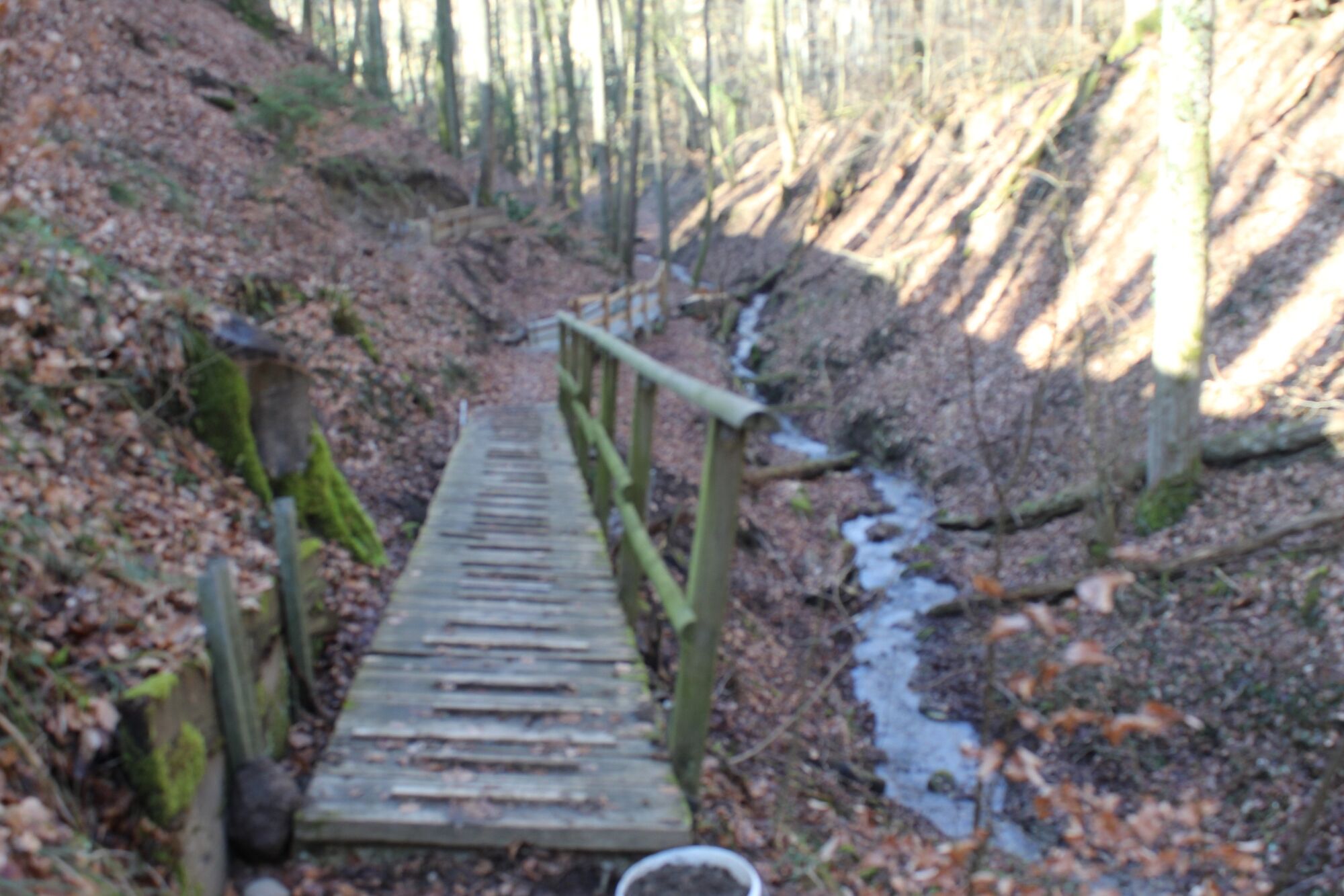
Wanderung über den Kattenhorner Bühl mit Aussichten auf den Untersee und druch die Klingenbachschlucht.
- Difficoltà
-
facile
- Valutazione
-
- Percorso
-
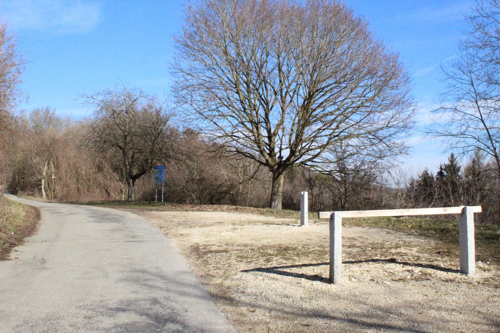
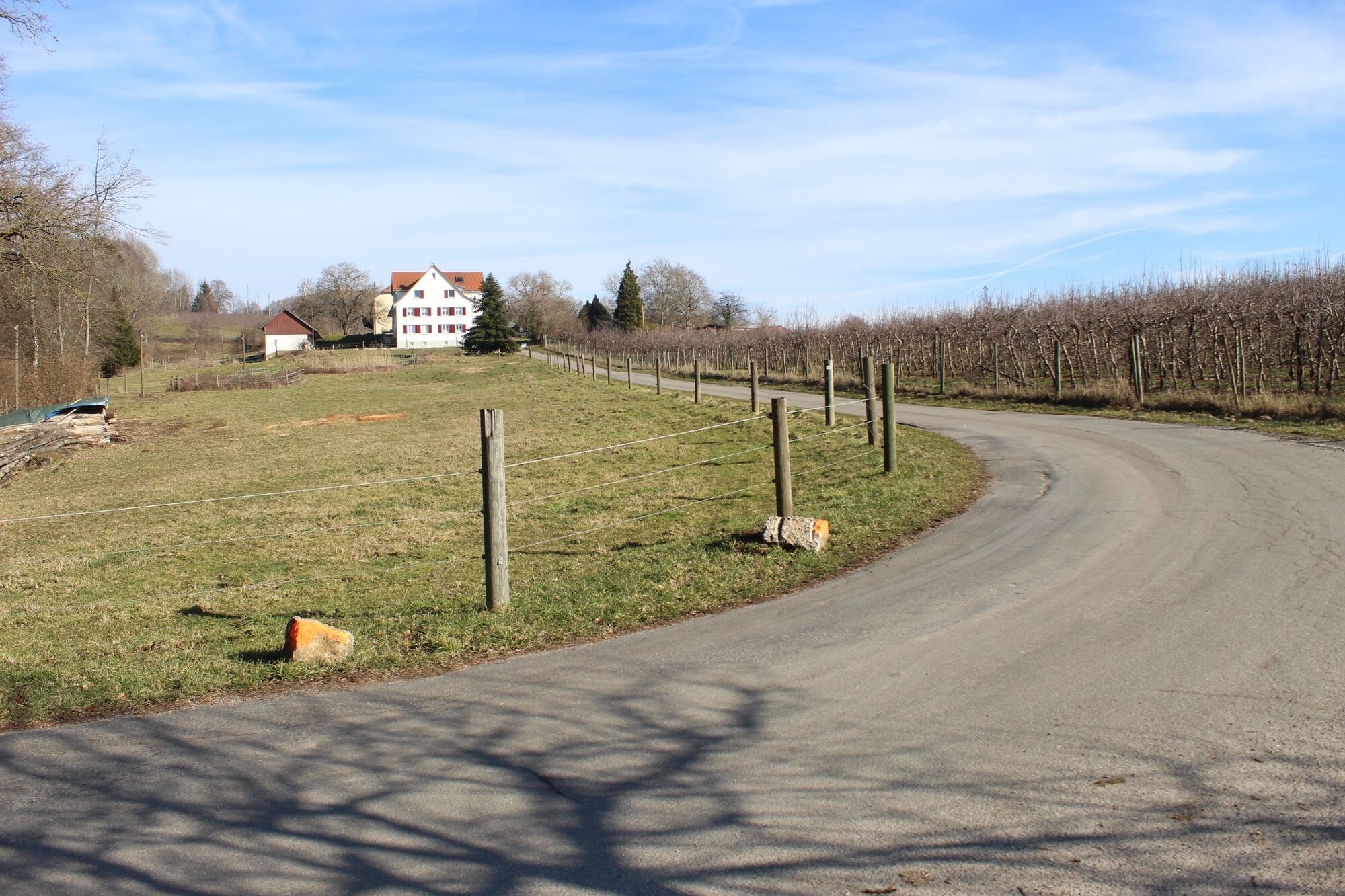
Kattenhorn1,6 km
- La stagione migliore
-
genfebmaraprmaggiulugagosetottnovdic
- Punto più alto
- 528 m
- Destinazione
-
Öhningen Parkplatz Zielhag
- Profilo altimetrico
-
 © outdooractive.com


- Autore
-
Il tour Kattenhornerbühl, Klingenbachschlucht è utilizzato da outdooractive.com fornito.
GPS Downloads


Altri tour nelle regioni
-
SchaffhauserLand
1027
-
Stein am Rhein
521
-
Öhningen
156