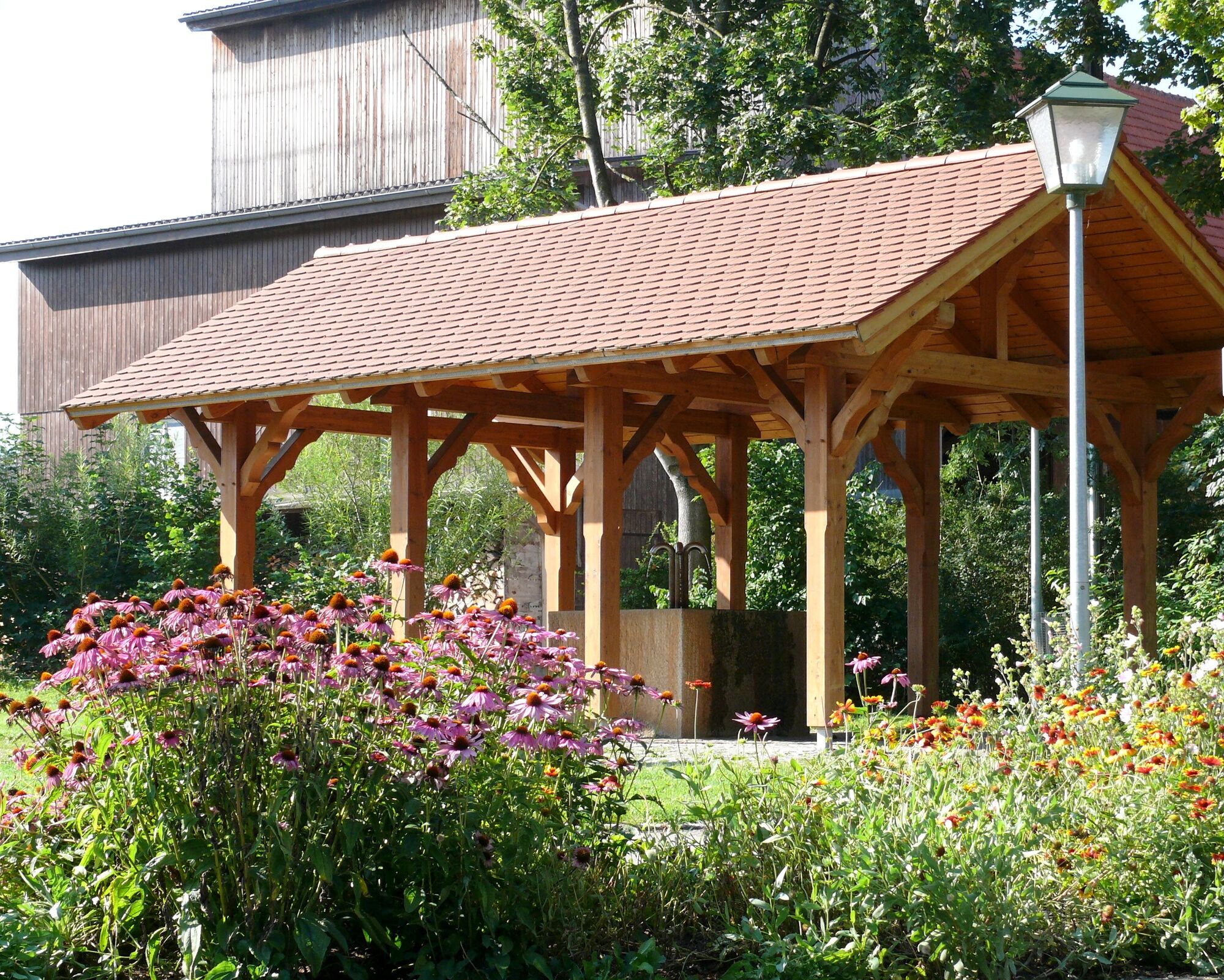
© Landkreis Göppingen - Praktikant ESA

© Landkreis Göppingen - Praktikant ESA

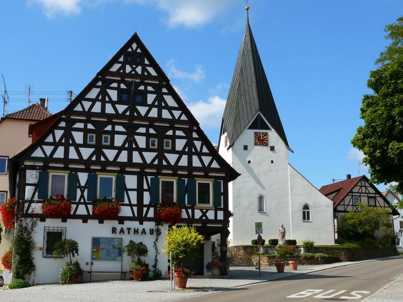
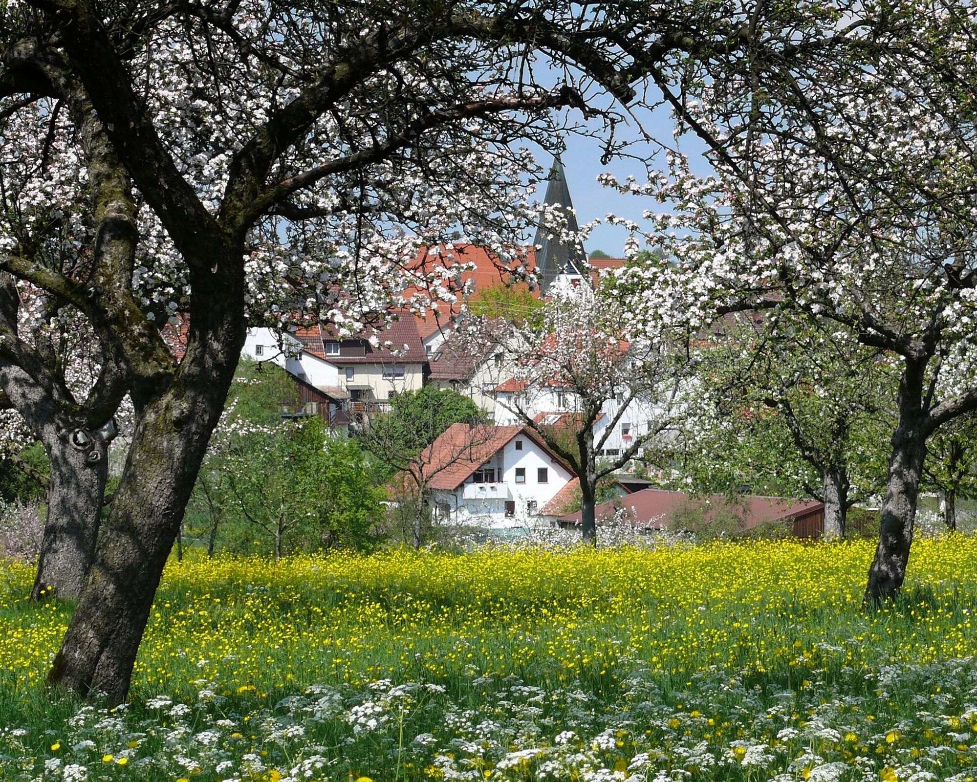
© Gemeinde Hattenhofen
- Descrizione rapida
-
Gemeinde Hattenhofen - im Vorland der Schwäbischen Alb, umgeben von zahlreichen Streuobstwiesen und einem Europäischen Vogelschutzgebiet.
- Difficoltà
-
facile
- Valutazione
-
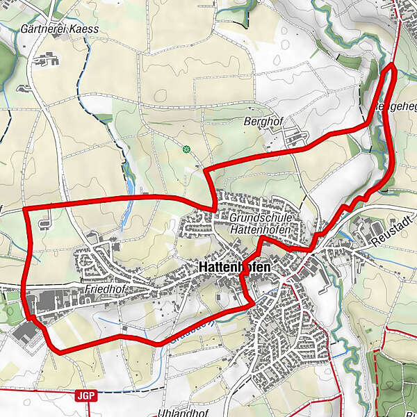
- Percorso
-
Hattenhofen0,0 kmSauerbrunnen0,4 kmHaldenbrunnen6,3 kmHattenhofen7,0 kmKrone7,1 kmEv. Kirche7,1 kmGasthof Lamm7,1 km
- La stagione migliore
-
genfebmaraprmaggiulugagosetottnovdic
- Punto più alto
- 398 m
- Destinazione
-
Schulhofparkplatz Hattenhofen
- Profilo altimetrico
-
 © outdooractive.com
- Autore
-
Il tour Eichhörnchen-Weg è utilizzato da outdooractive.com fornito.
GPS Downloads


Info generali
Punto di ristoro
Altri tour nelle regioni
-
Schwäbische Alb
1239
-
Bad Boll
225