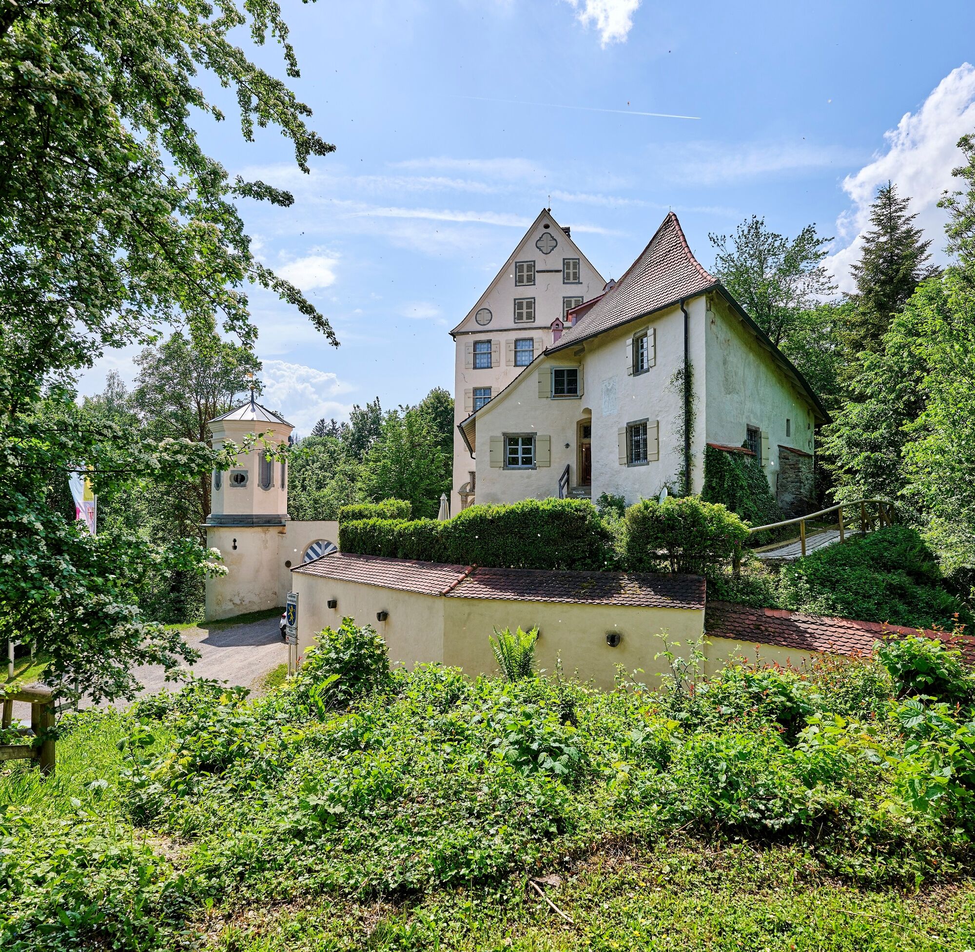
© Oberschwaben Tourismus GmbH - Frank Müller

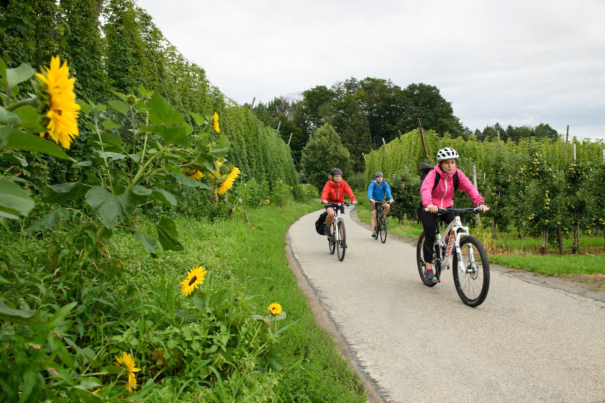
© Oberschwaben Tourismus GmbH - Florian Trykowski

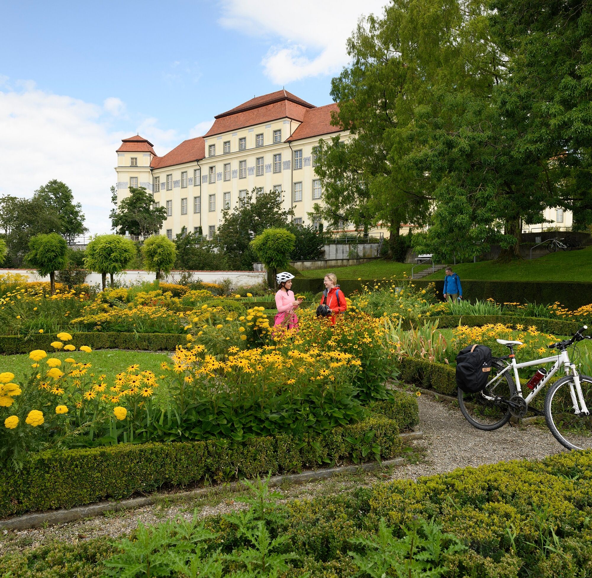
© Oberschwaben Tourismus GmbH - Frank Müller

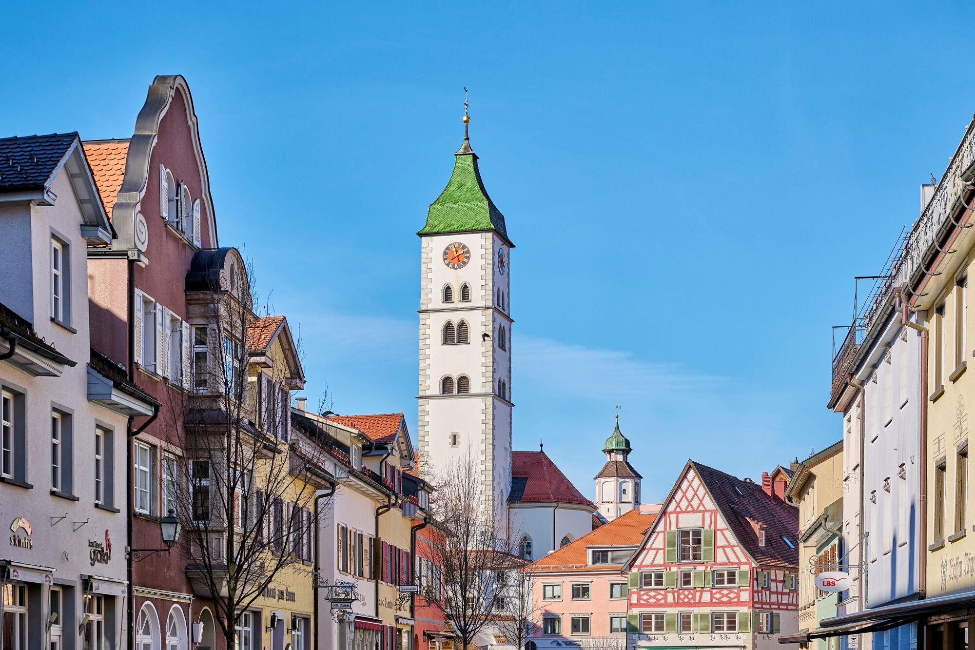
© Oberschwaben Tourismus GmbH - Florian Trykowski

- Descrizione rapida
-
Through pleasant orchards and hop gardens.
With views of glittering Lake Constance backed by the mighty Alpine chain, we pass through towns which have evolved over the centuries and boast all kinds of interesting features.
- Percorso
-
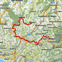
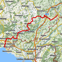
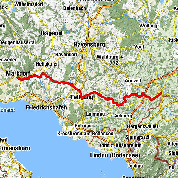
Wangen im Allgäu (556 m)Auwiesen0,7 kmLottenmühle2,2 kmNiederwangen3,3 kmPfarrkirche St. Andreas3,5 kmKnobel4,0 kmEttensweiler6,0 kmHochbühl7,1 kmKernaten8,0 kmSchomburg8,6 kmRuhe-Christi-Kapelle8,8 kmHaslach10,5 kmPfarrkirche Sankt Stephanus Haslach10,5 kmKleber10,5 kmHaslachmühle11,1 kmLitzelmannshof11,3 kmGunzenweiler12,8 kmMehetsweiler13,8 kmNeukirch15,2 kmSt. Maria15,2 kmOberrussenried18,2 kmUnterrussenried18,8 kmNotzenhaus20,0 kmFlockenbach21,0 kmSt. Anna21,4 kmEnzisweiler21,9 kmGasthaus zum Hirsch / Zitterell22,9 kmObereisenbach22,9 kmHerrgottsweiler24,4 kmBernau26,0 kmTettnang (466 m)27,7 kmHeilig-Kreuz-Kapelle27,7 kmBechlingen28,7 kmFünfehrlen29,4 kmHabacht30,6 kmMeckenbeuren31,9 kmPauluskirche31,9 kmBrochenzell33,3 kmWaltenweiler36,2 kmLindenholz36,9 kmBlankenried38,7 kmSt. Martin40,4 kmOberteuringen40,4 kmUnterteuringen41,8 kmHepbach44,5 kmLeimbach45,8 kmMarkdorf48,5 km
- La stagione migliore
-
genfebmaraprmaggiulugagosetottnovdic
- Punto più alto
- 585 m
- Destinazione
-
Markdorf
- Profilo altimetrico
-
 © outdooractive.com
- Autore
-
Il tour Upper Swabia-Allgäu Route - 4th leg è utilizzato da outdooractive.com fornito.
GPS Downloads


Info generali
Punto di ristoro
Culturale/Storico
Promettente
Altri tour nelle regioni