© Office de tourisme du beaujolais

© Office de tourisme du beaujolais

- Descrizione rapida
-
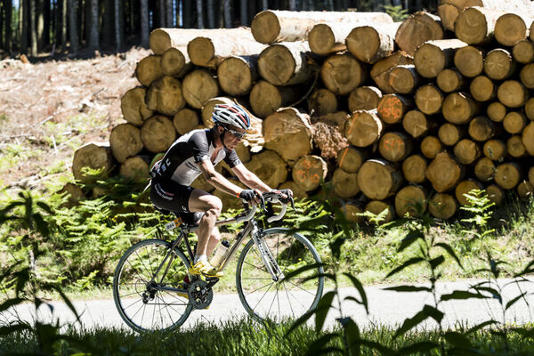
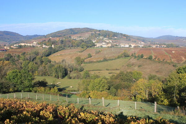
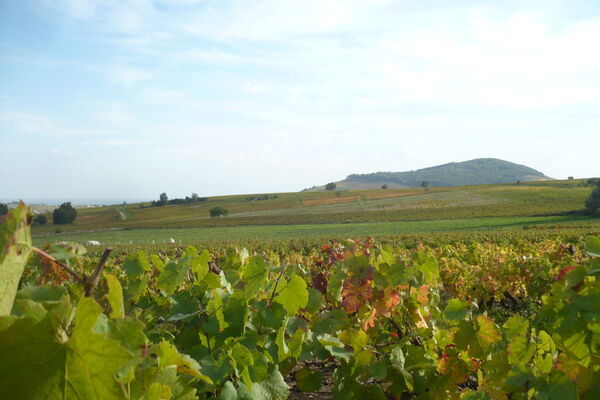
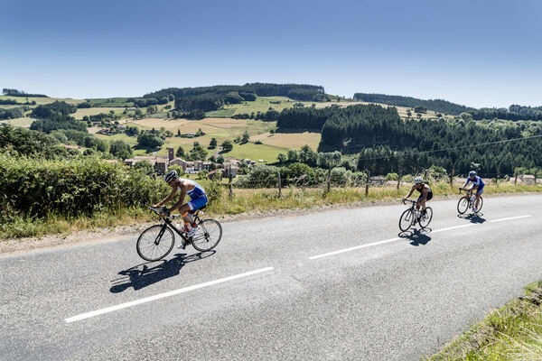
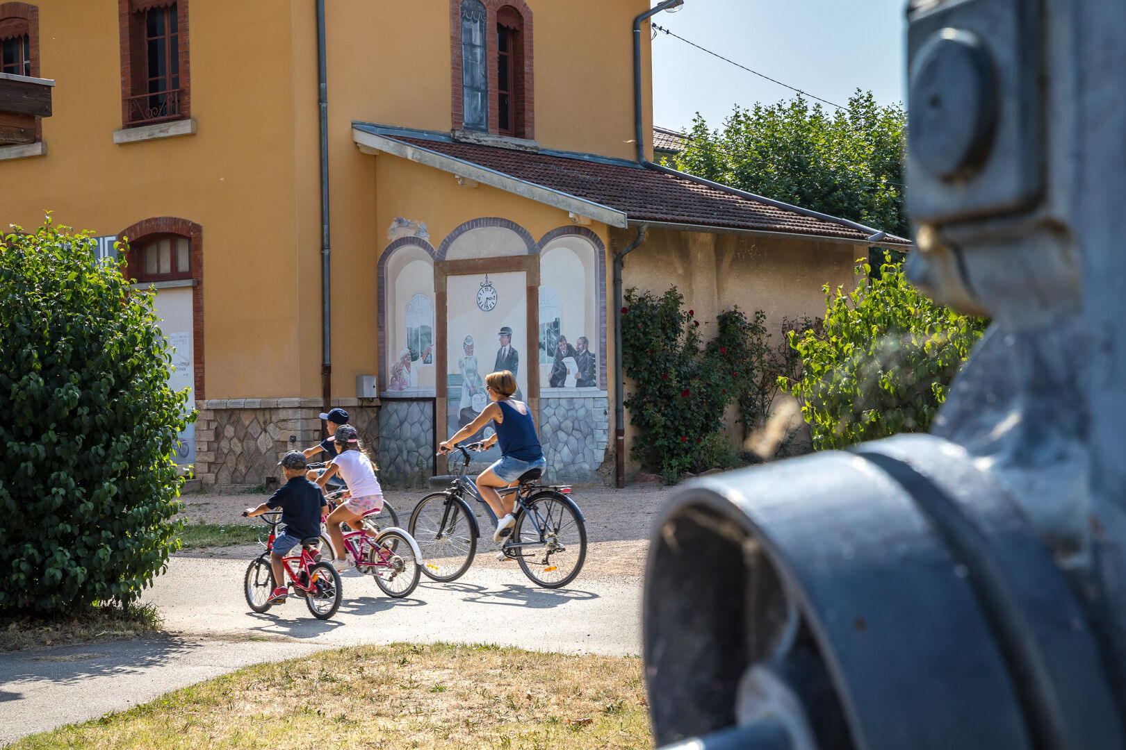
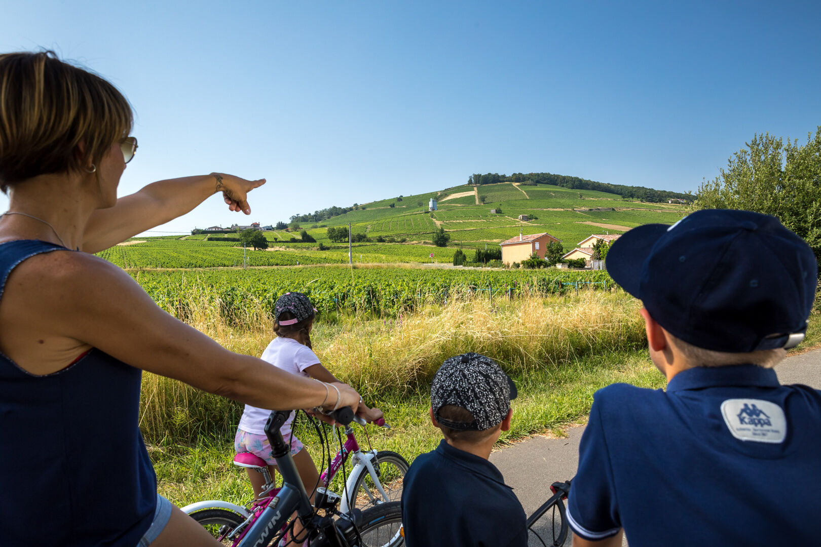
You can explore the secrets of the Beaujolais countryside on foot, by bike, on rollerblades, in a stroller or wheelchair with family or friends.
- Difficoltà
-
facile
- Valutazione
-
- Percorso
-
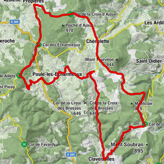
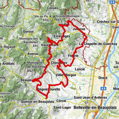
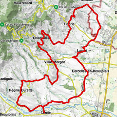
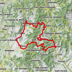
La Ville-Est0,3 kmLe Port1,9 kmAbbatiale de l'Assomption2,5 kmBelleville-en-Beaujolais3,0 kmBalmont3,9 kmSaint-Jean-d'Ardières4,6 kmPoint Vélo Saint-Jean d’Ardières6,3 kmLes Granges7,0 kmBergeron9,5 kmBergeron9,8 kmCercié10,2 kmLa Glacière11,4 kmSaint-Vincent13,3 kmRevolon16,5 kmLa Chevalière17,2 km
- La stagione migliore
-
genfebmaraprmaggiulugagosetottnovdic
- Punto più alto
- 290 m
- Destinazione
-
Beaujeu
- Profilo altimetrico
-
 © outdooractive.com
-

-
AutoreIl tour La Voie Verte du Beaujolais è utilizzato da outdooractive.com fornito.
GPS Downloads


Info generali
Promettente
Altri tour nelle regioni
-
Rhône
43
-
Saône-Beaujolais
25