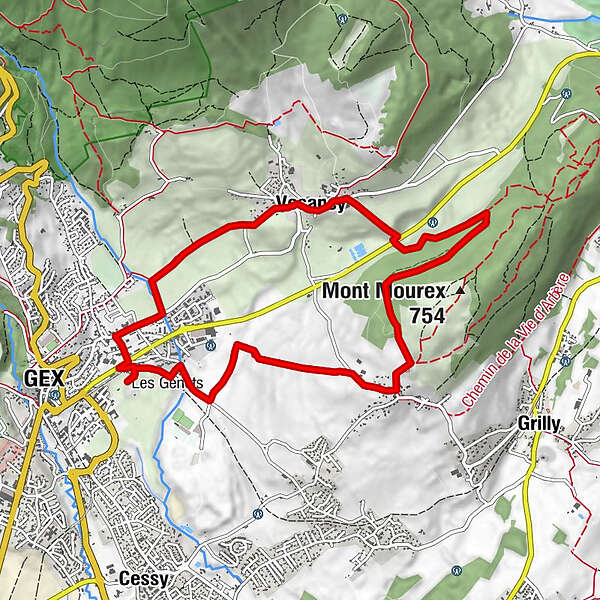
The " Druides " blue route n°4 Gex-Mourex-Vesancy

Mountainbike

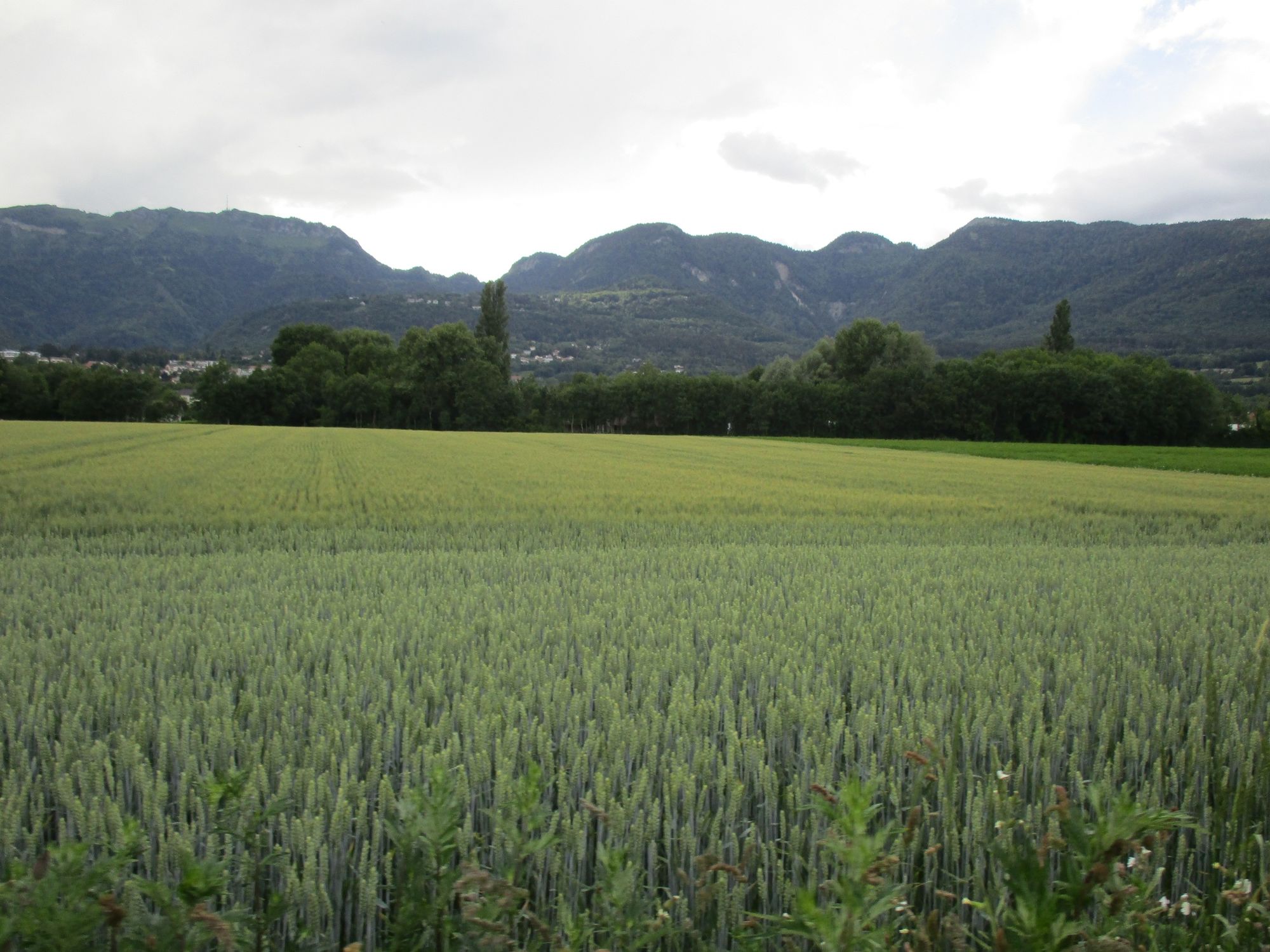
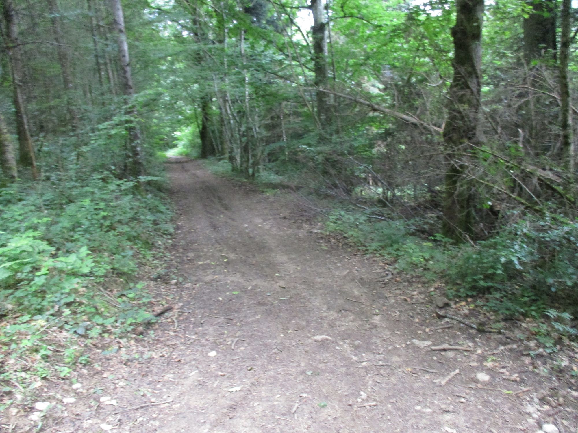
© Pays de Gex et sa Station Monts Jura - Anne-Marie Barbe

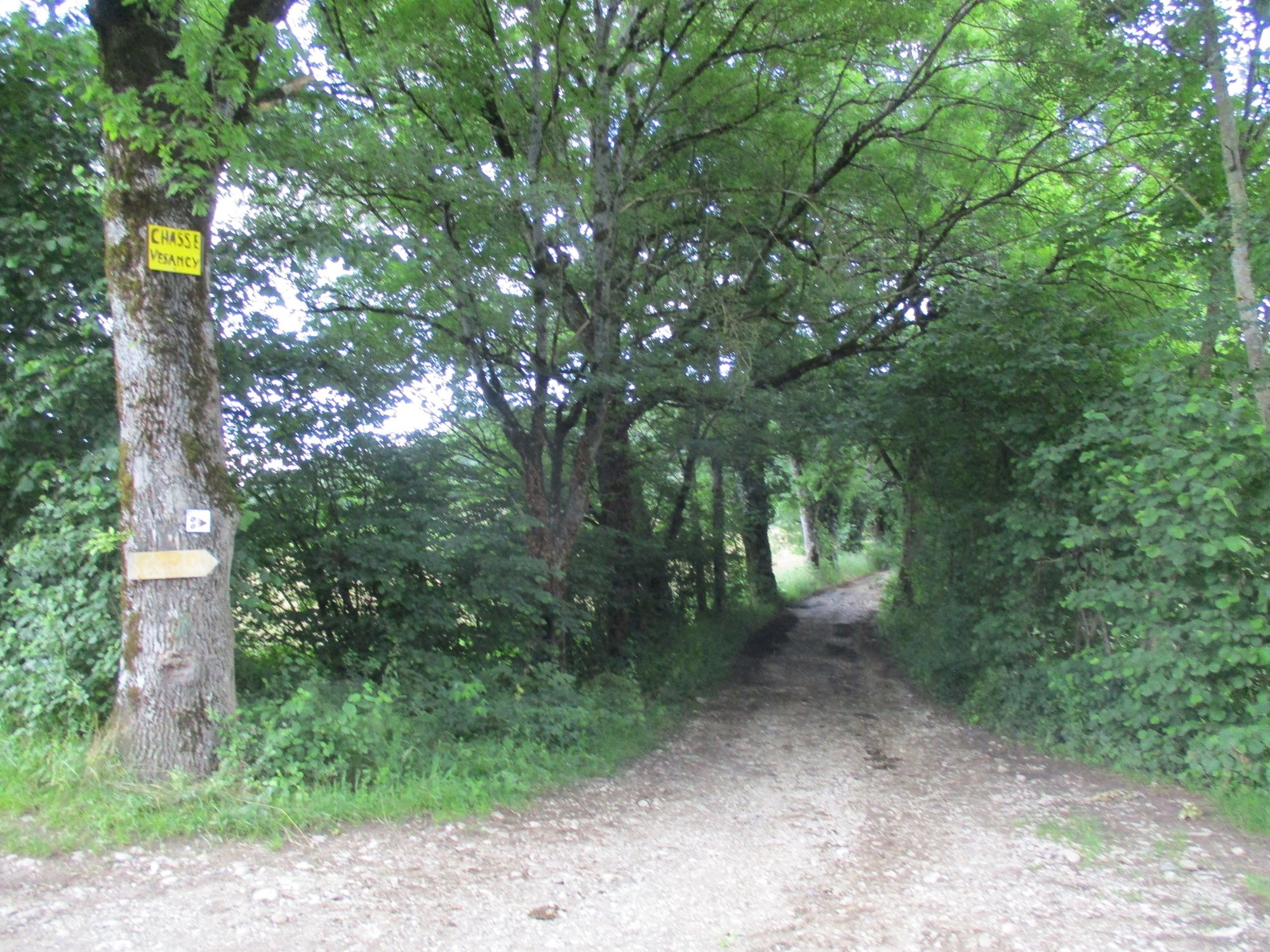
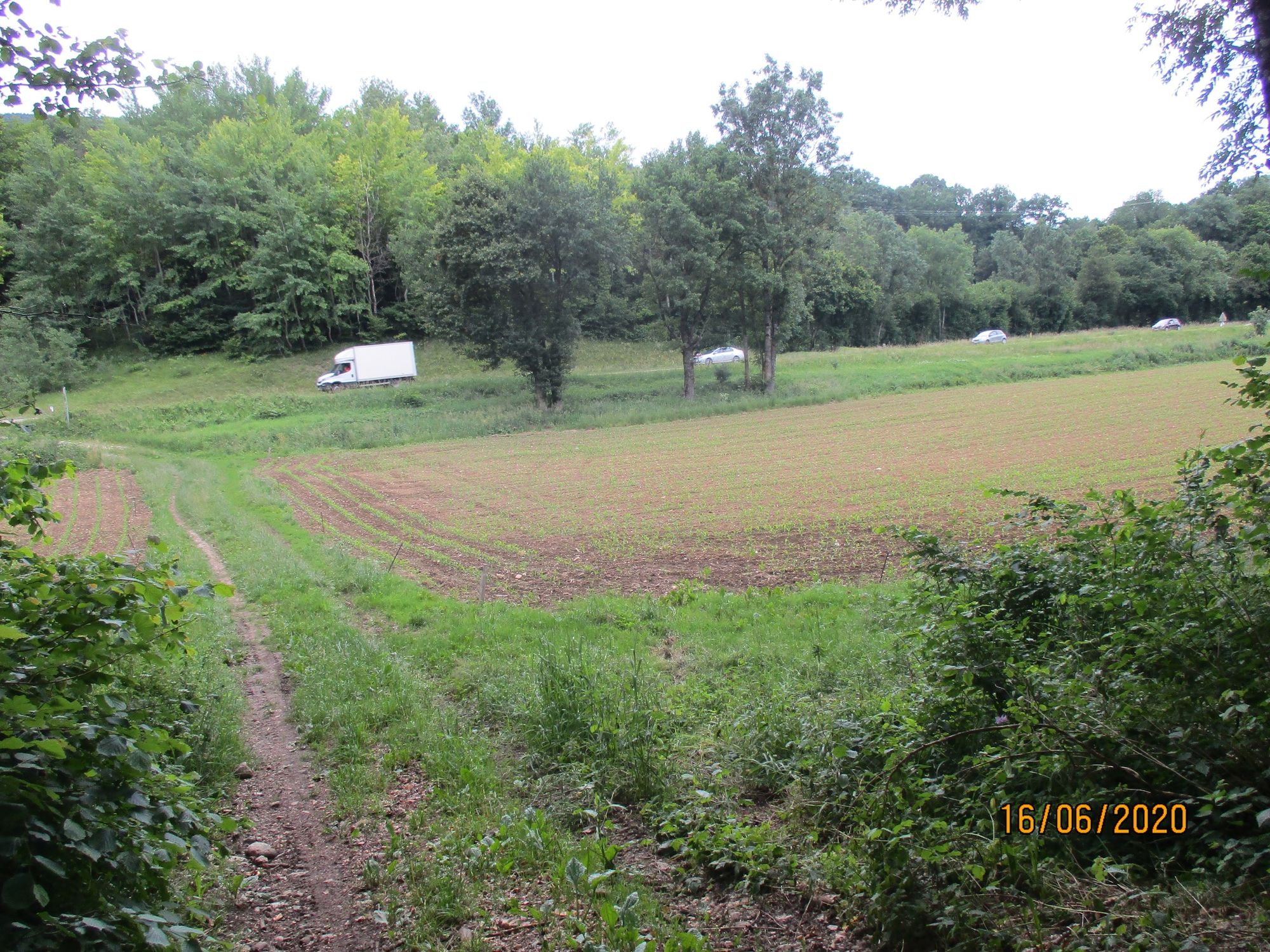
© Pays de Gex et sa Station Monts Jura - Anne-Marie Barbe

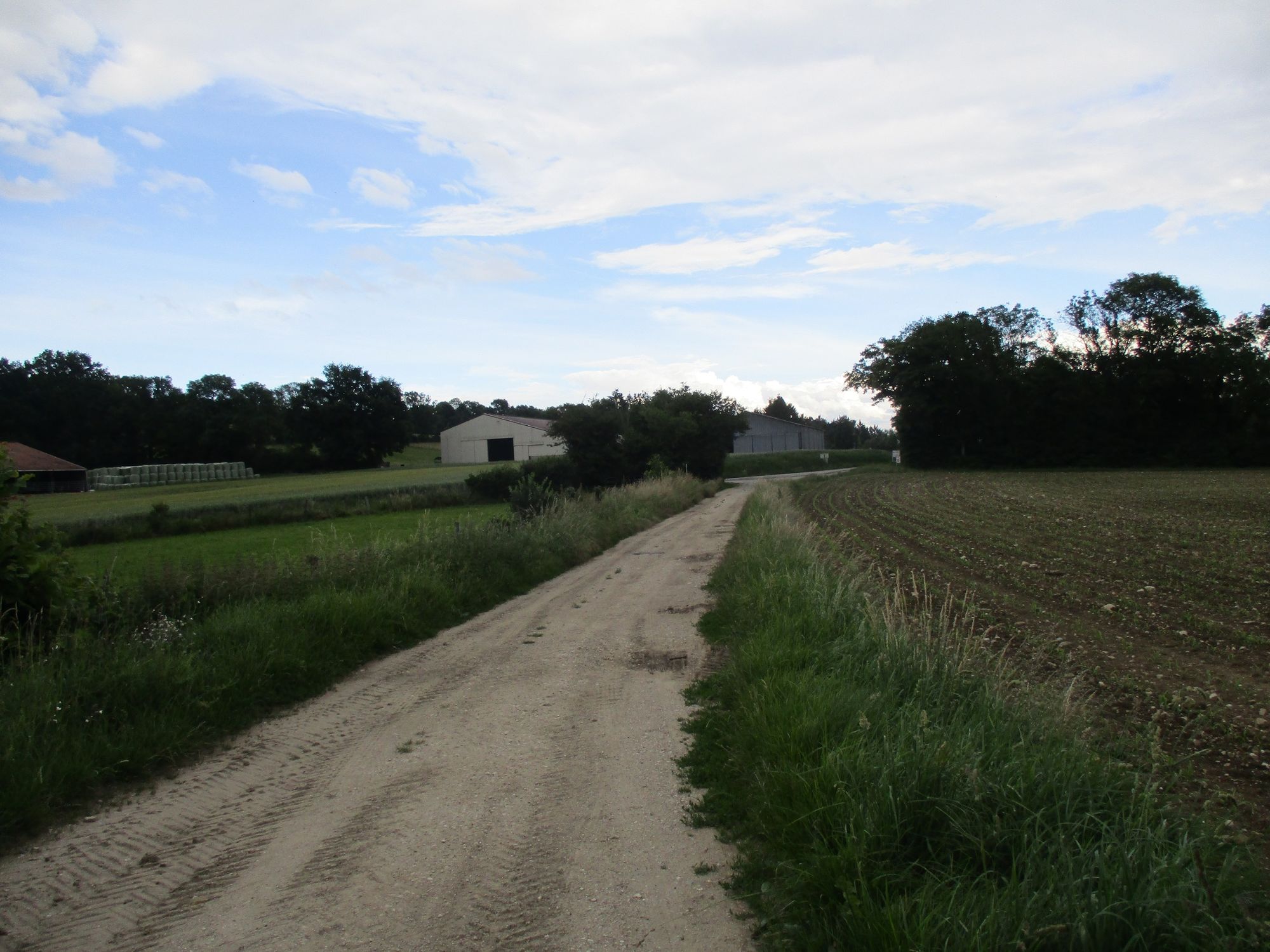
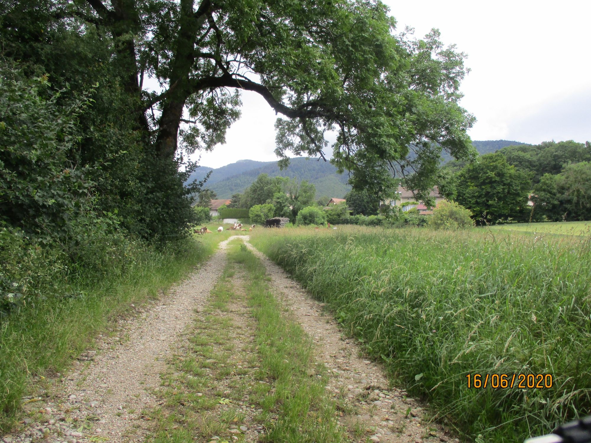
© Pays de Gex et sa Station Monts Jura - Anne-Marie Barbe

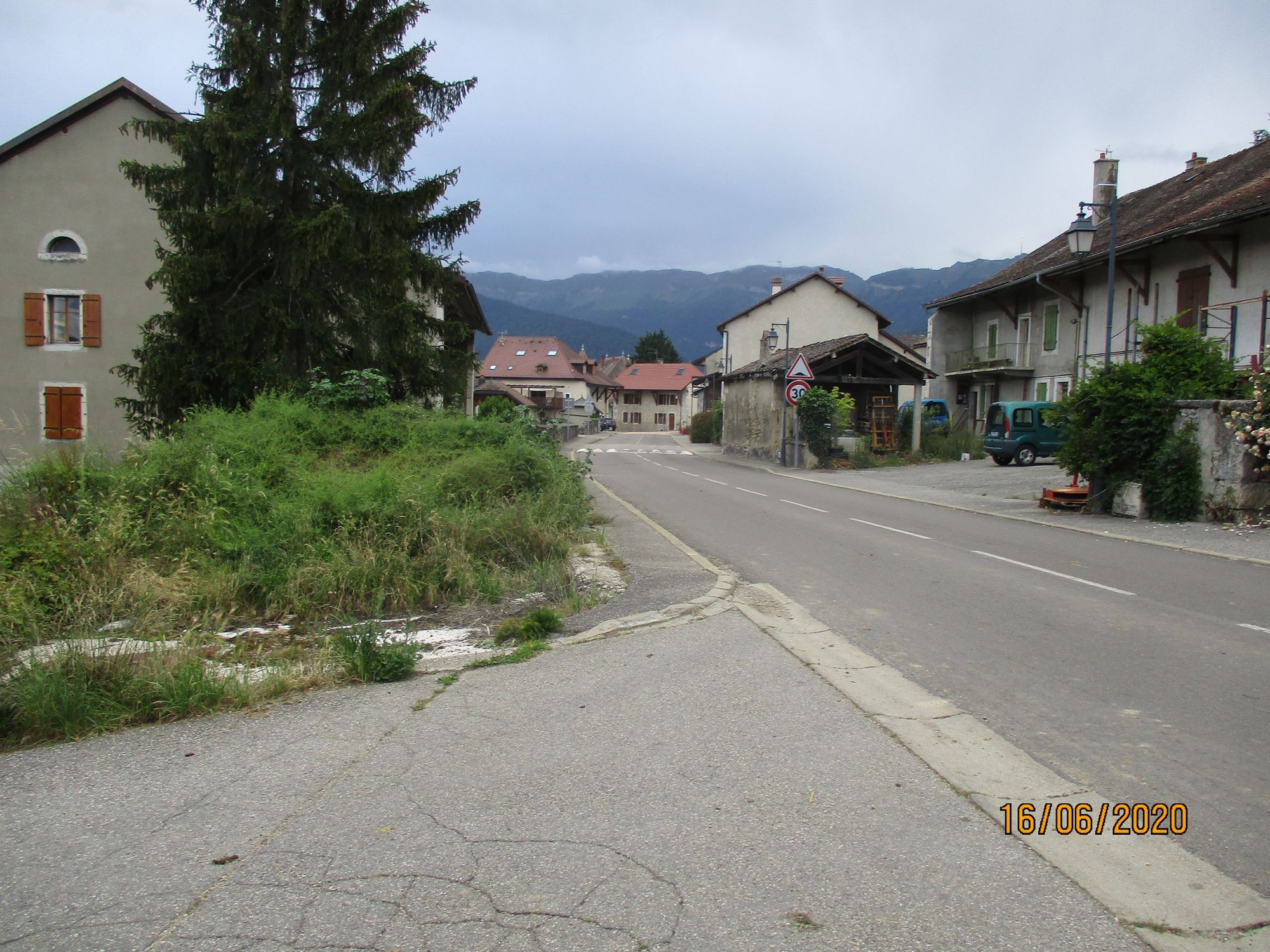
© Pays de Gex et sa Station Monts Jura - Anne-Marie Barbe

© Pays de Gex et sa Station Monts Jura - Anne-Marie Barbe

© Pays de Gex et sa Station Monts Jura - Anne-Marie Barbe

© Pays de Gex et sa Station Monts Jura - Anne-Marie Barbe

© Pays de Gex et sa Station Monts Jura - Anne-Marie Barbe

© Pays de Gex et sa Station Monts Jura - Anne-Marie Barbe

© Pays de Gex et sa Station Monts Jura - Anne-Marie Barbe
- Descrizione rapida
-
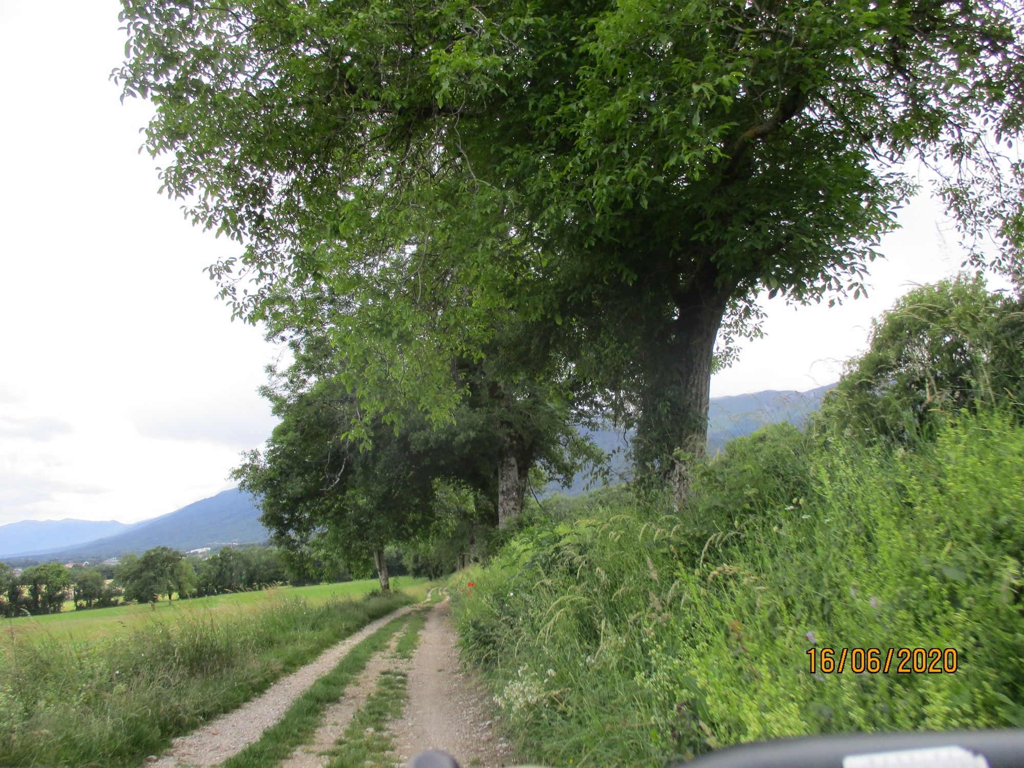
Between Divonne les Bains and Gex, the Mont Mourex offers a stunning panorama of the high Jura chain, the Alps, the Pays de Gex and the Rhone valley.
- Difficoltà
-
facile
- Valutazione
-
- Percorso
-
GexMourex3,0 kmVesancy7,1 kmÉglise Saint-Christophe7,2 kmGex9,8 km
- La stagione migliore
-
genfebmaraprmaggiulugagosetottnovdic
- Punto più alto
- 713 m
- Destinazione
-
GEX
- Profilo altimetrico
-
 © outdooractive.com


-

-
AutoreIl tour The " Druides " blue route n°4 Gex-Mourex-Vesancy è utilizzato da outdooractive.com fornito.
GPS Downloads


Info generali
Suggerimento
Flora
Promettente
Altri tour nelle regioni
-
Haute-Savoie
48
-
Nyon Region
22
-
Chavannes-des-Bois
11