


Dati percorsi
6,96km
446
- 755m
156hm
367hm
02:01h
- Descrizione rapida
-
2 - 2,5 Stunden Wanderung Leicht-Mittel
- Difficoltà
-
facile
- Valutazione
-
- Percorso
-
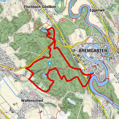
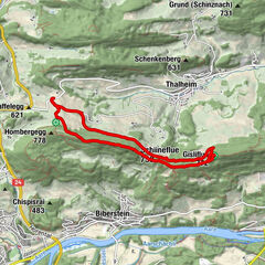
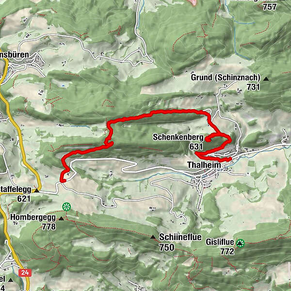
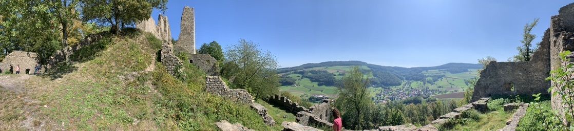
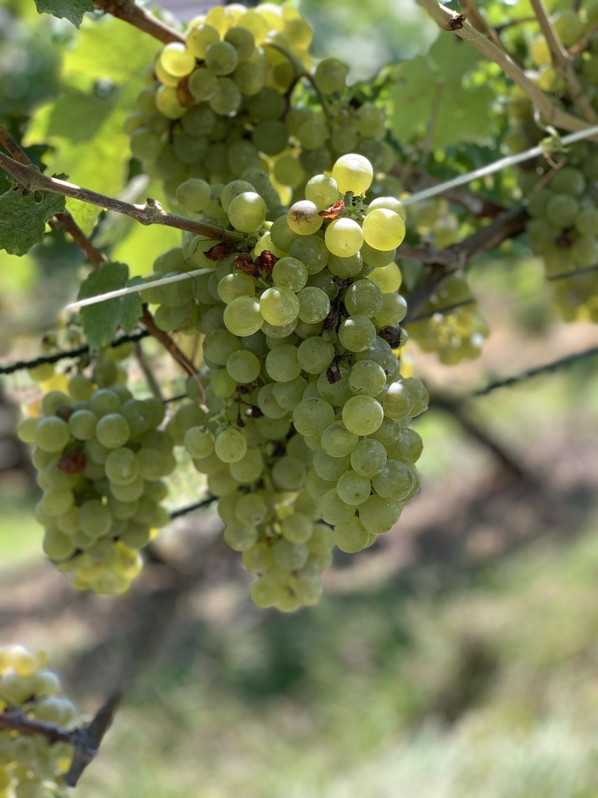
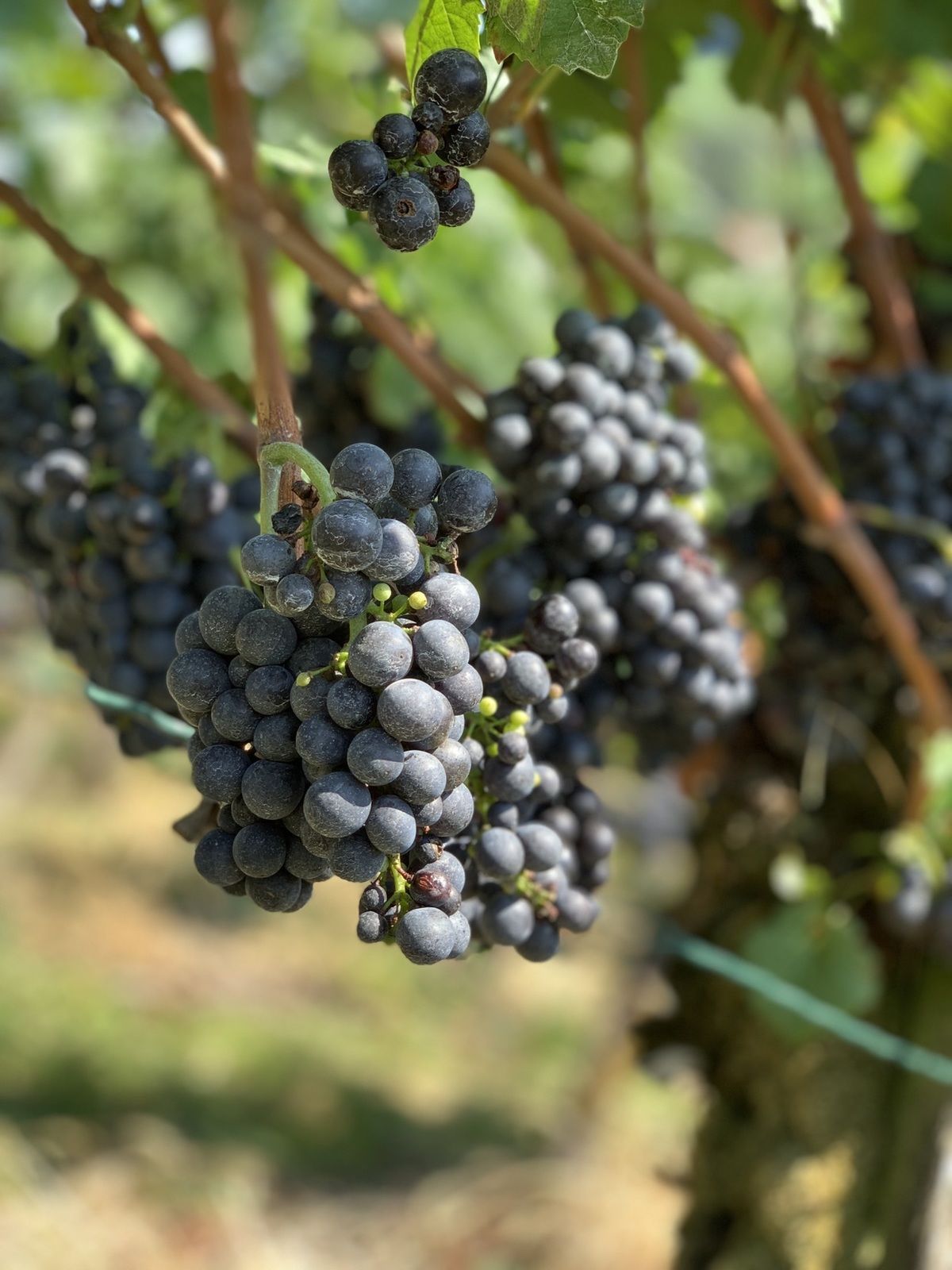
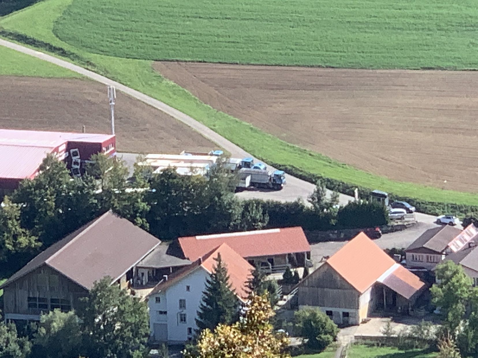
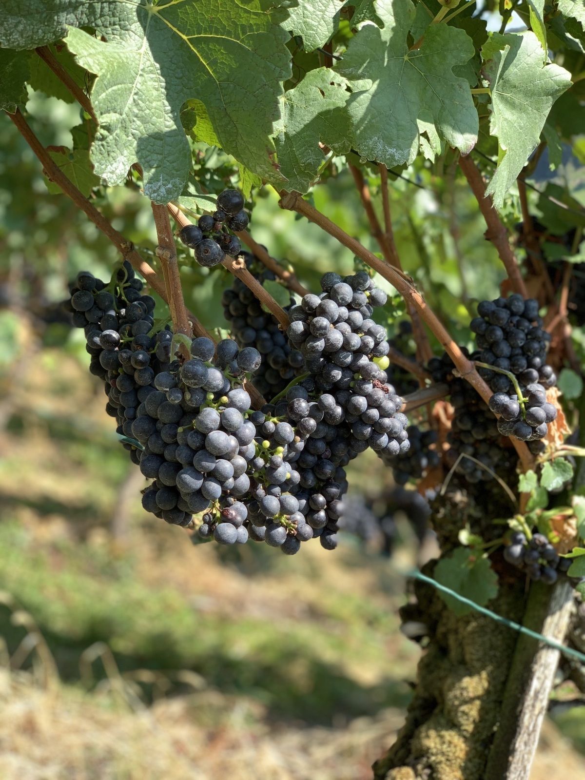
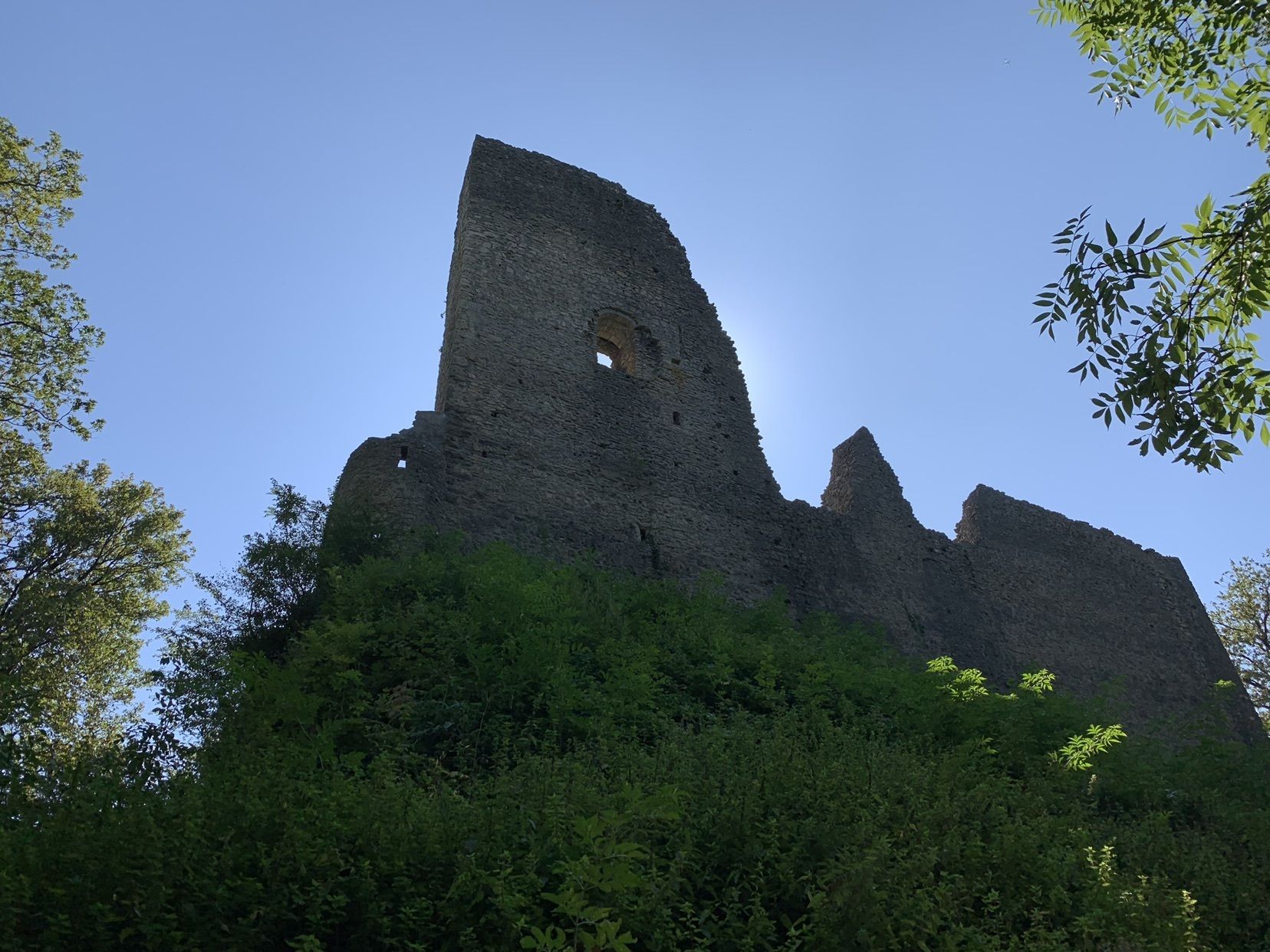
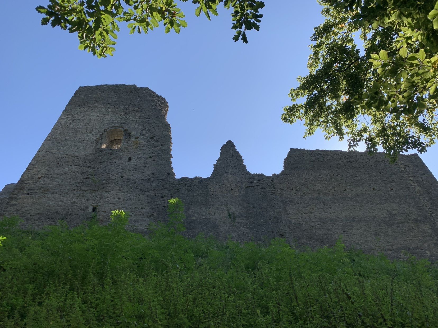
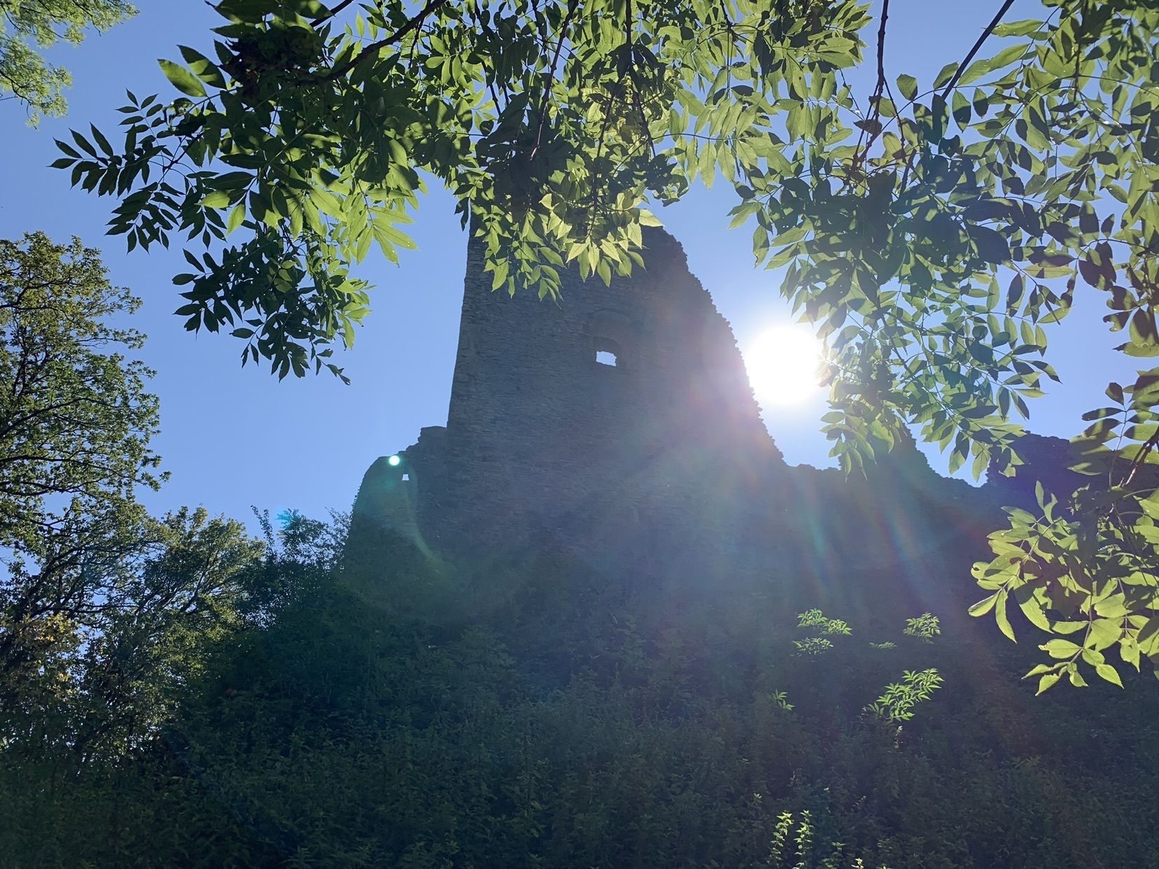
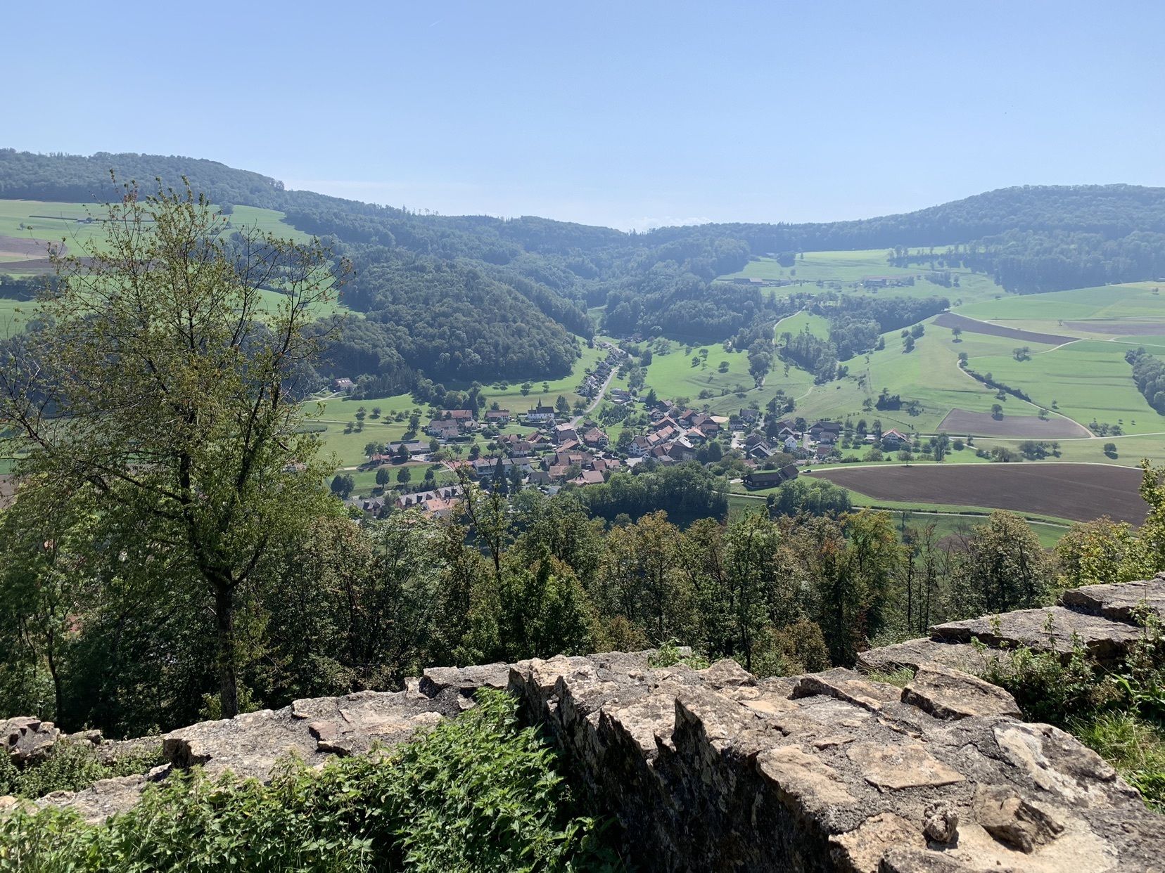
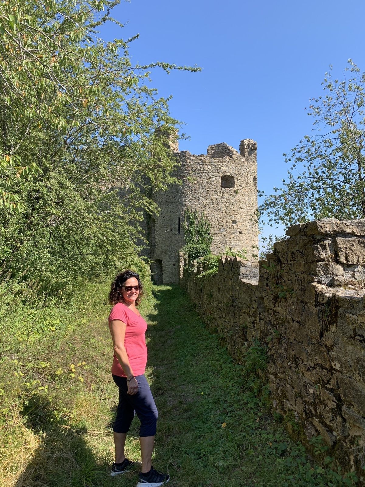
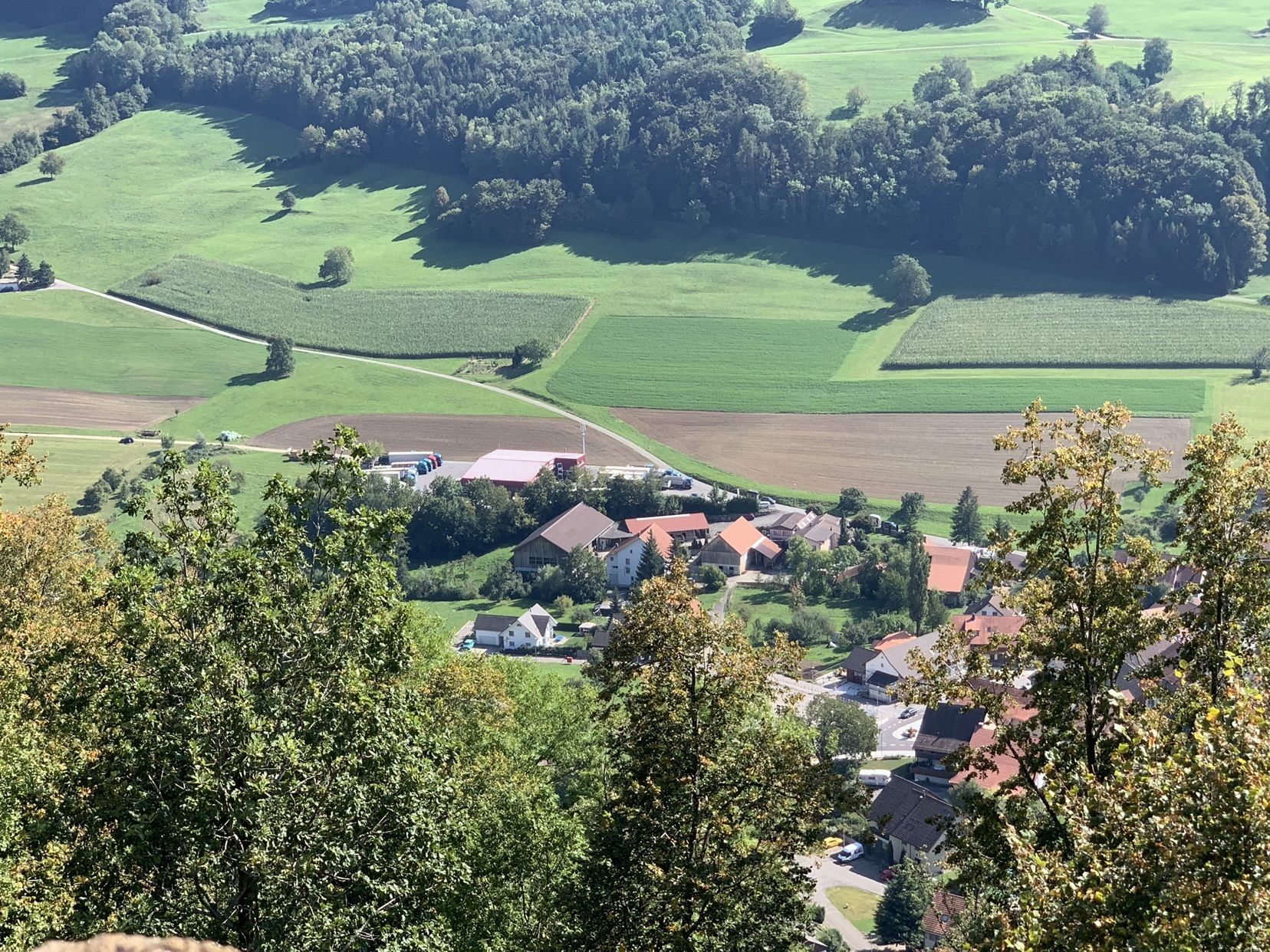
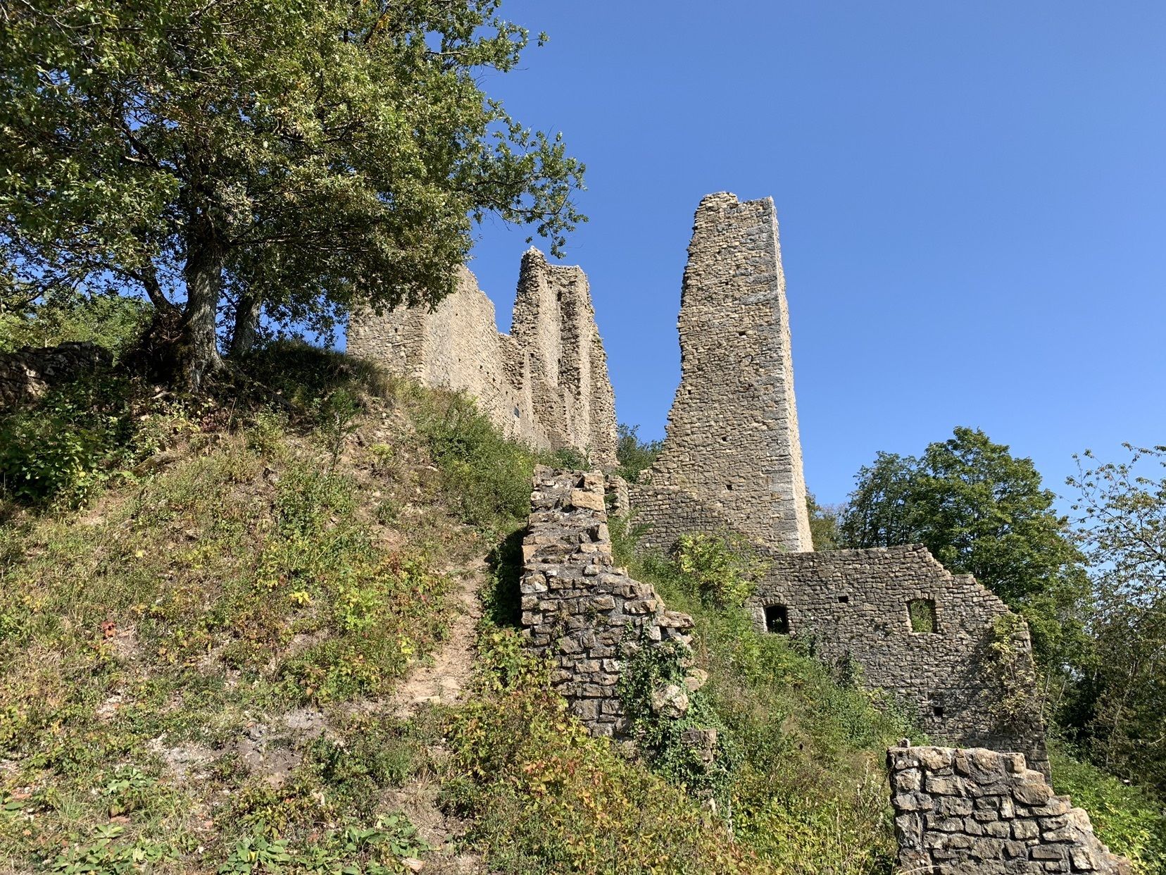
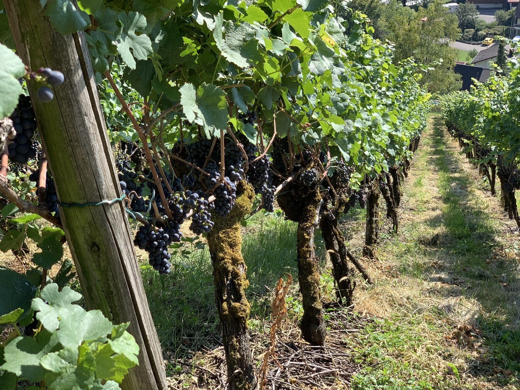
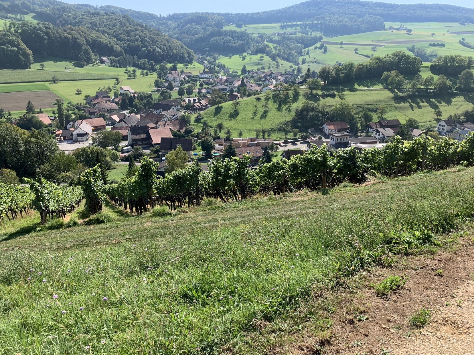
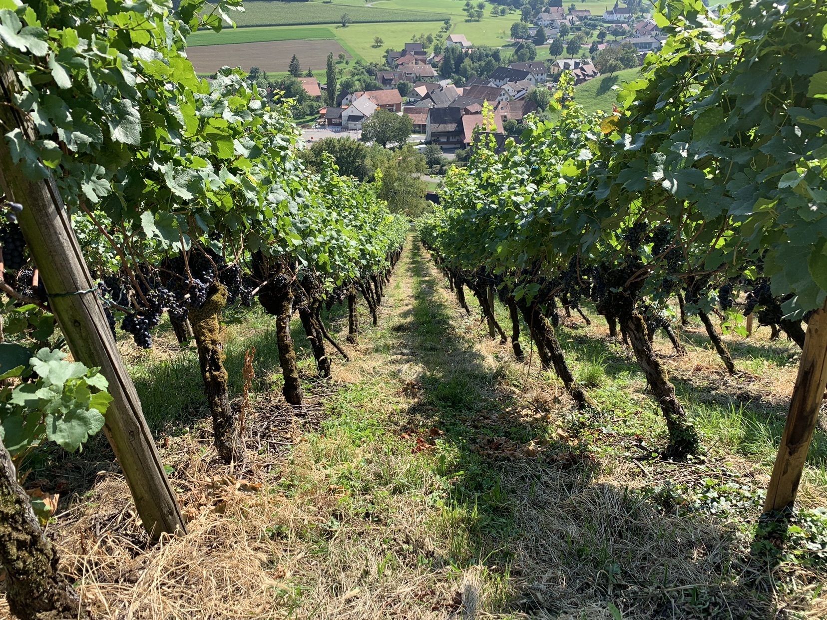
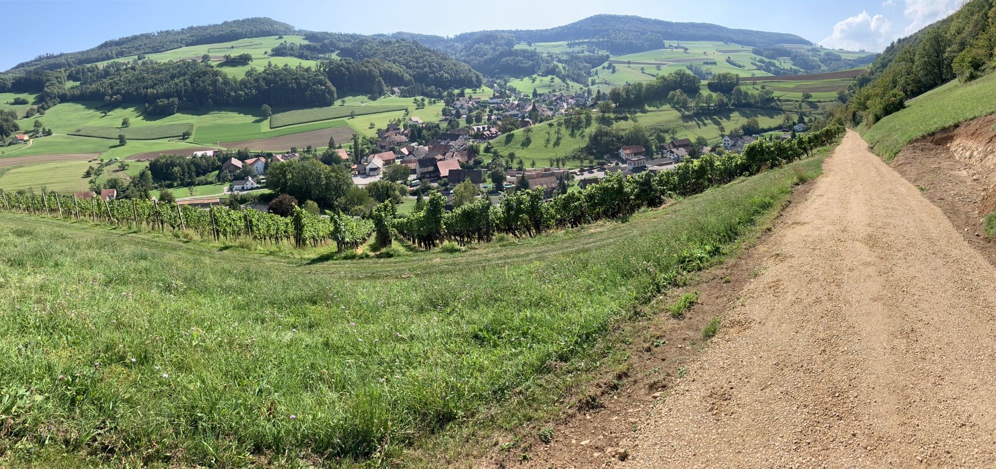
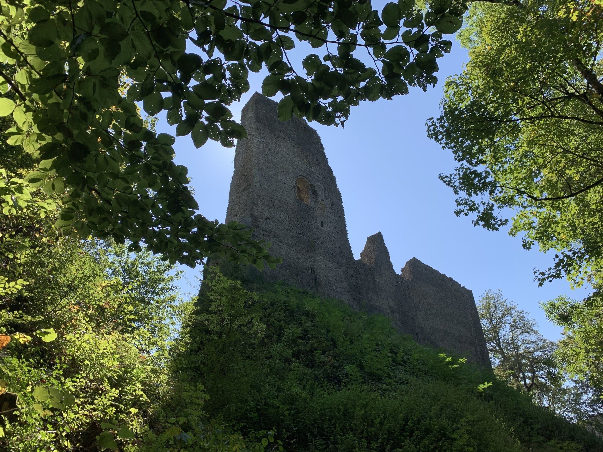
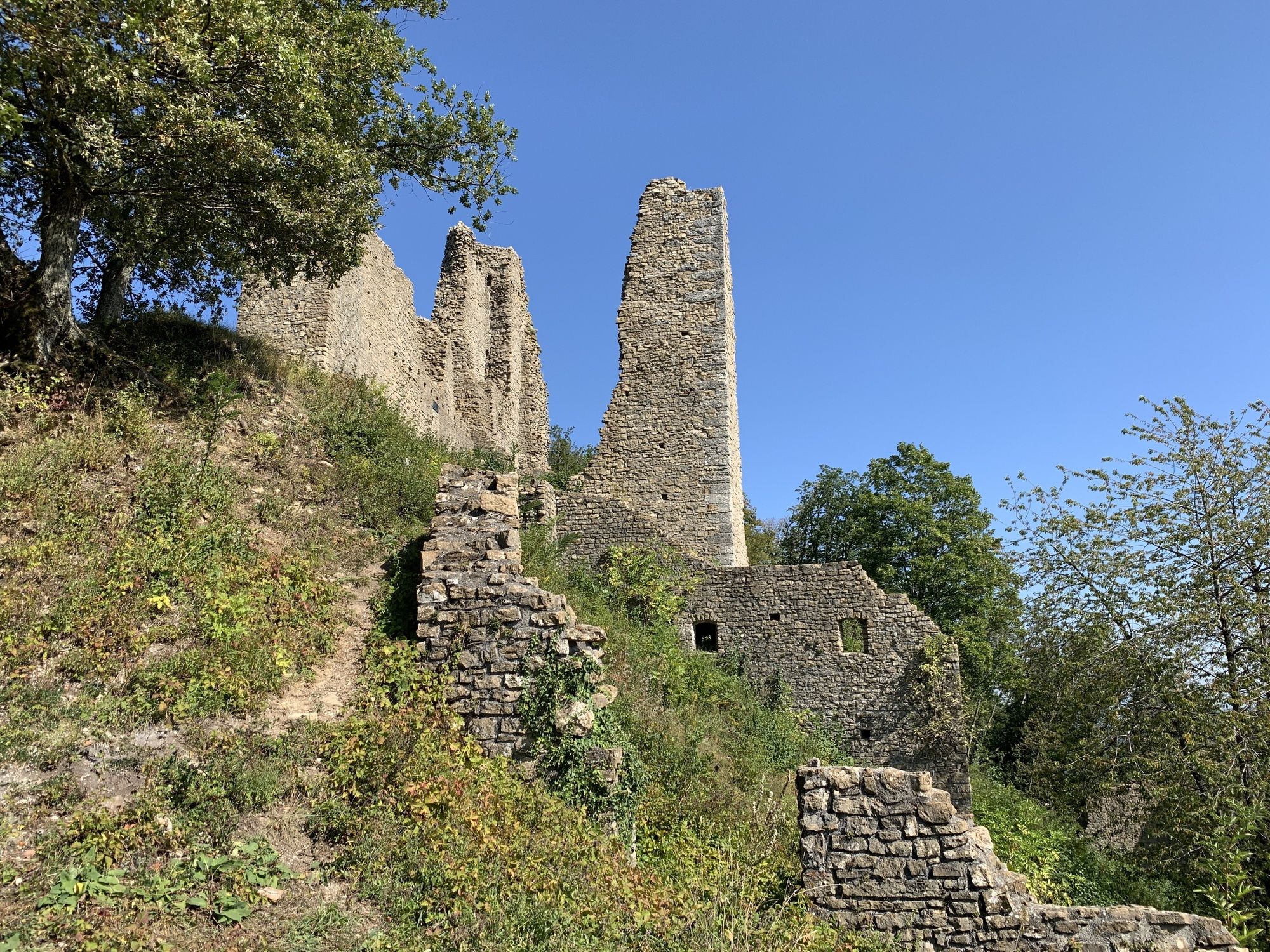
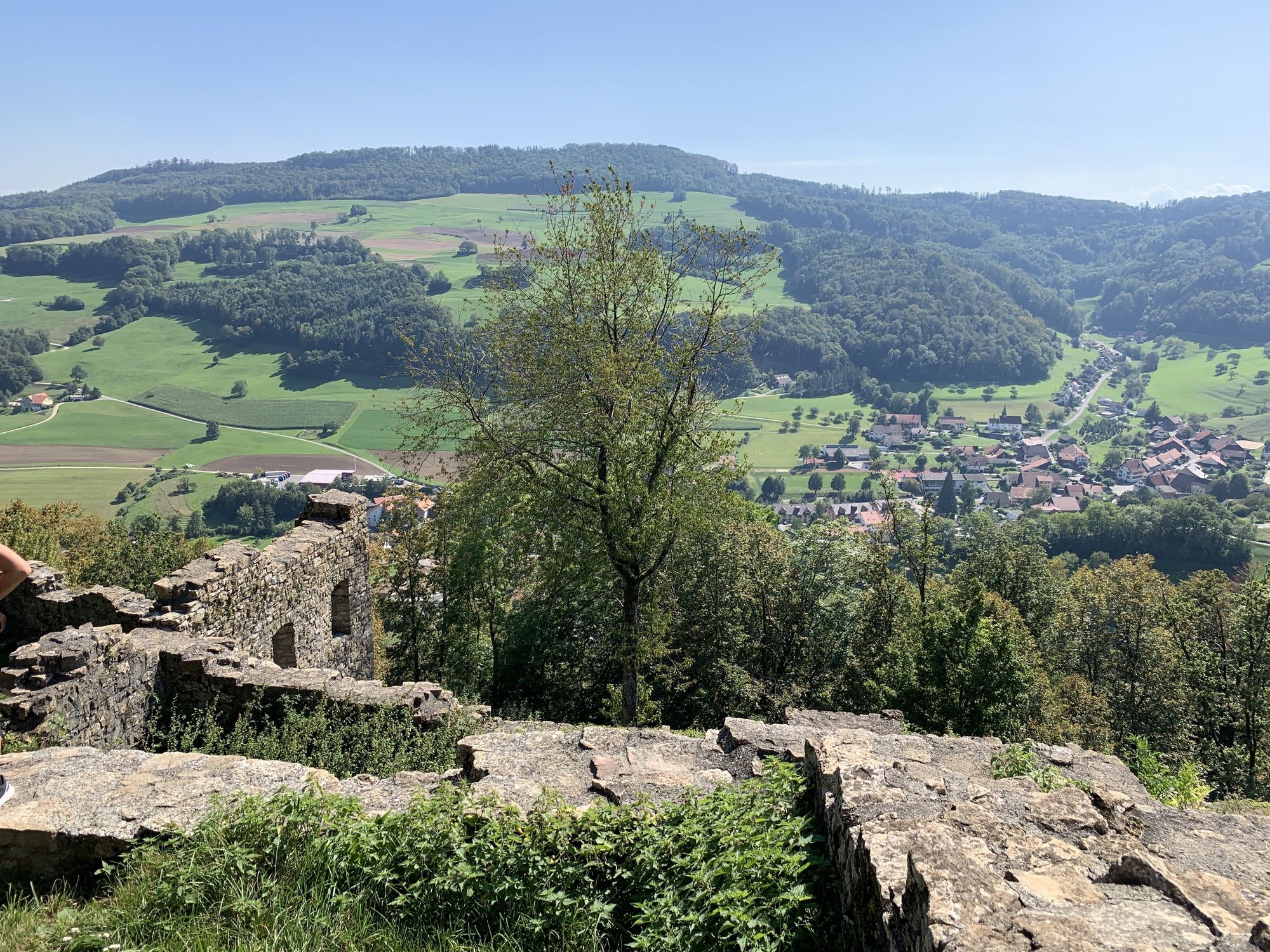
Schenkenberg (631 m)5,0 kmThalheim (451 m)6,4 kmWeingarten6,9 km
- Punto più alto
- 755 m
GPS Downloads


Altri tour nelle regioni
-
Kanton Aargau
1493
-
Berner Aargau
771
-
Thalheim AG
252