- Difficoltà
-
facile
- Valutazione
-
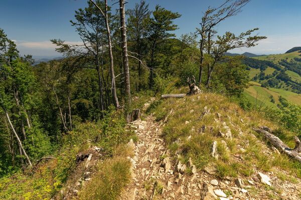
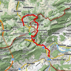
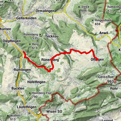
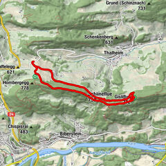
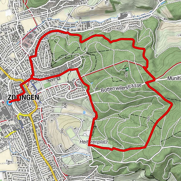
- Percorso
-
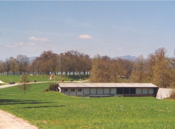
Zofingen (432 m)Zofingen (437 m)0,1 kmStadtkirche Zofingen0,2 kmEvangelisch-methodistische Kirche0,6 kmEvangelisch-methodistische Kirche7,5 km
- Punto più alto
- 592 m
- Profilo altimetrico
-
 © outdooractive.com

- Autore
-
Il tour UHU (Ums-Huus-Ume) è utilizzato da outdooractive.com fornito.
GPS Downloads


Altri tour nelle regioni
-
Kanton Aargau
1493
-
Olten und Region
915
-
Zofingen
176