- Difficoltà
-
facile
- Valutazione
-
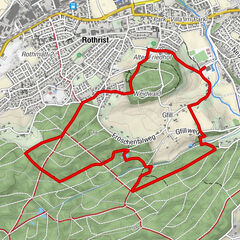
- Percorso
-
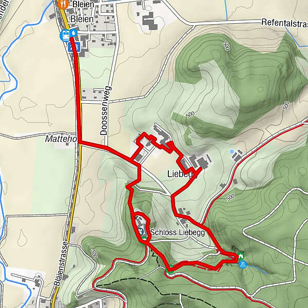
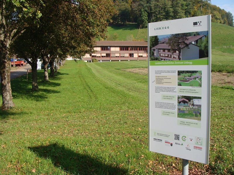
Bleien Liebegg (427 m)BleienLiebegg1,4 kmSandsteinhöhlen1,8 kmBleien Liebegg (427 m)3,7 km
- Punto più alto
- 529 m
- Profilo altimetrico
-
 © outdooractive.com
-

-
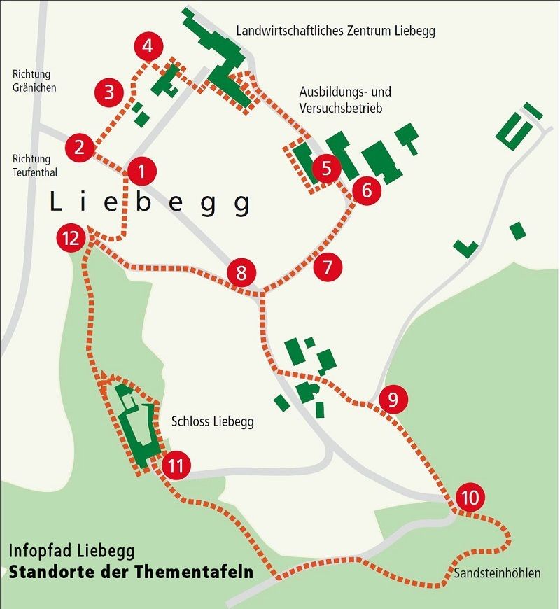
AutoreIl tour Liebegger Infopfad è utilizzato da outdooractive.com fornito.
GPS Downloads


Altri tour nelle regioni
-
Kanton Aargau
1493
-
Wynental
663
-
Teufenthal AG
167