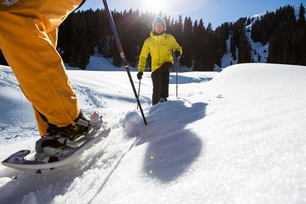
© Alpenregion Bludenz Tourismus GmbH - Wiebke Meyer

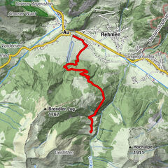
© Alpenregion Bludenz Tourismus GmbH - Melanie Fleisch

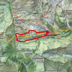
© Alpenregion Bludenz Tourismus GmbH - Melanie Fleisch
- Descrizione rapida
-
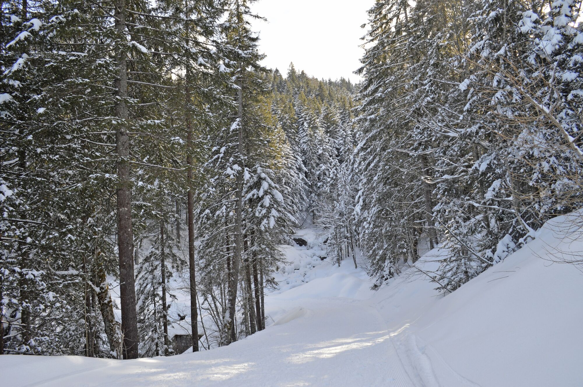
Comfortable and easy winter circular hike on the Tschengla high plateau.
- Difficoltà
-
facile
- Valutazione
-
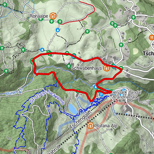
- Percorso
-
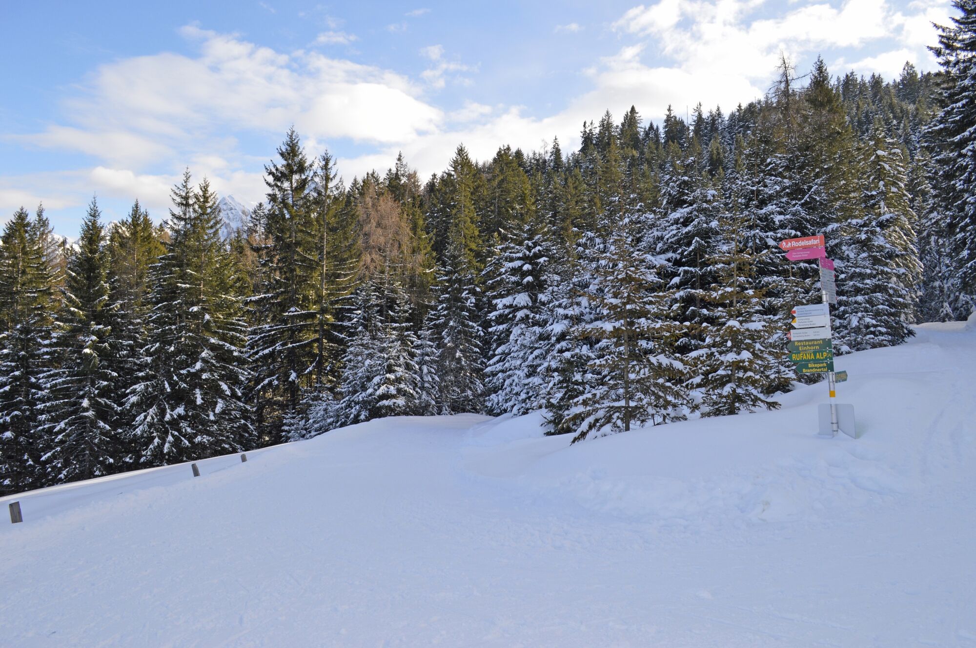
Unicorn RestaurantSchwabenhaus1,6 kmTschengla1,8 km
- La stagione migliore
-
agosetottnovdicgenfebmaraprmaggiulug
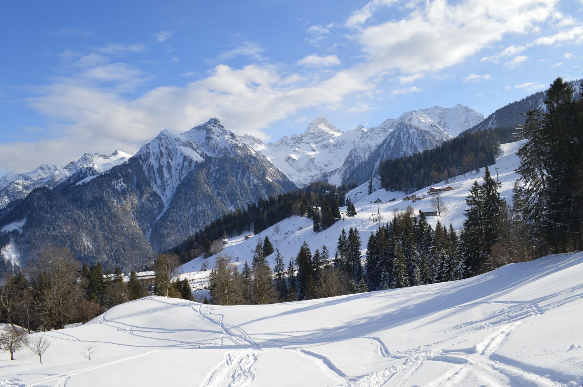
- Punto più alto
- 1.243 m
- Destinazione
-
Car park Einhornbahn II, Bürserberg
- Profilo altimetrico
-

- Autore
-
Il tour Kohlgrubweg | Bürserberg è utilizzato da outdooractive.com fornito.
GPS Downloads


Info generali
Punto di ristoro
Altri tour nelle regioni
-
St. Gallen - Bodensee
115
-
Brandnertal
151
-
Bürserberg
57