
© Damüls - Faschina Tourismus - Matthias Greilach


- Descrizione rapida
-
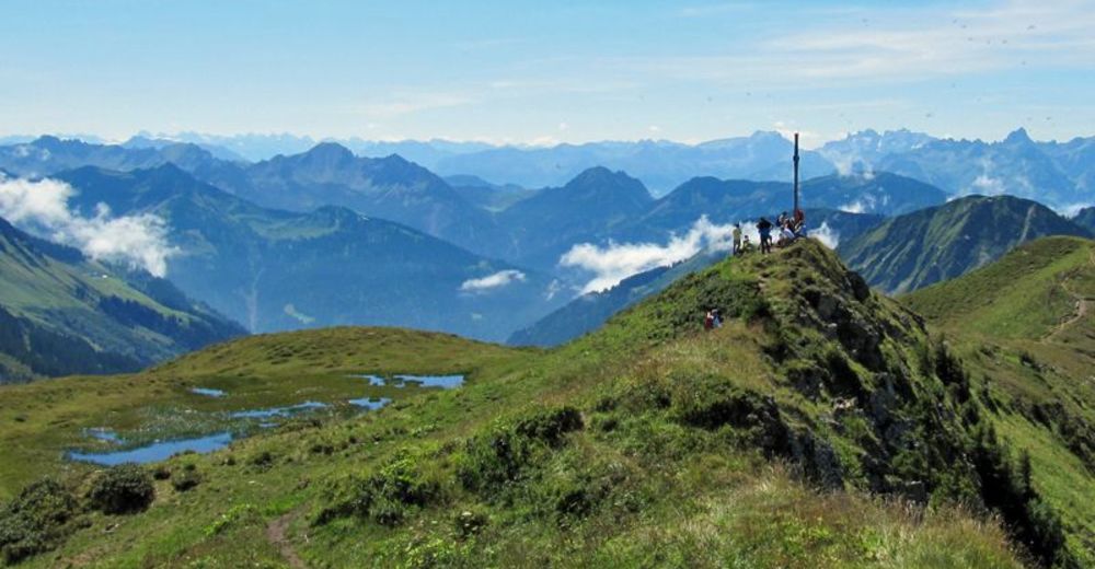
Kirchdorf (1.431 m) - Herte - Sieben Hügel - Sünserjoch (1.911 m) - Portlahorn (2.010 m) - Alpe Oberdamüls (1.667 m) - Herte - Kirchdorf
- Difficoltà
-
intermedio
- Valutazione
-
- Percorso
-
Damüls (1.423 m)0,0 kmPfarrkirche Hl. Nikolaus0,1 kmPortlahorn (2.010 m)5,6 kmStofel7,5 kmAlpe Oberdamüls7,6 kmPfarrkirche Hl. Nikolaus9,5 kmDamüls (1.423 m)9,6 km
- La stagione migliore
-
genfebmaraprmaggiulugagosetottnovdic
- Punto più alto
- 1.976 m
- Destinazione
-
Damüls Kirchdorf
- Profilo altimetrico
-


- Autore
-
Il tour Damüls | Auf das Portlahorn è utilizzato da outdooractive.com fornito.
GPS Downloads


Info generali
Promettente
Altri tour nelle regioni
-
St. Gallen - Bodensee
2067
-
Biosphärenpark Großes Walsertal
2011
-
Damüls
578


