© © Franz GERDL, 2017, all rights reserved - Franz Gerdl

© © Franz GERDL, 2017, all rights reserved - Franz Gerdl

Dati percorsi
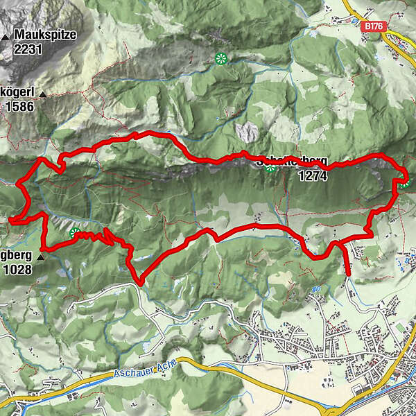
15,93km
677
- 1.371m
944hm
936hm
05:00h
- Descrizione rapida
-
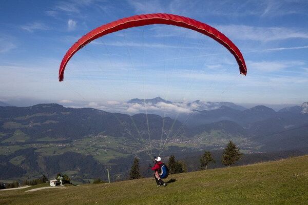
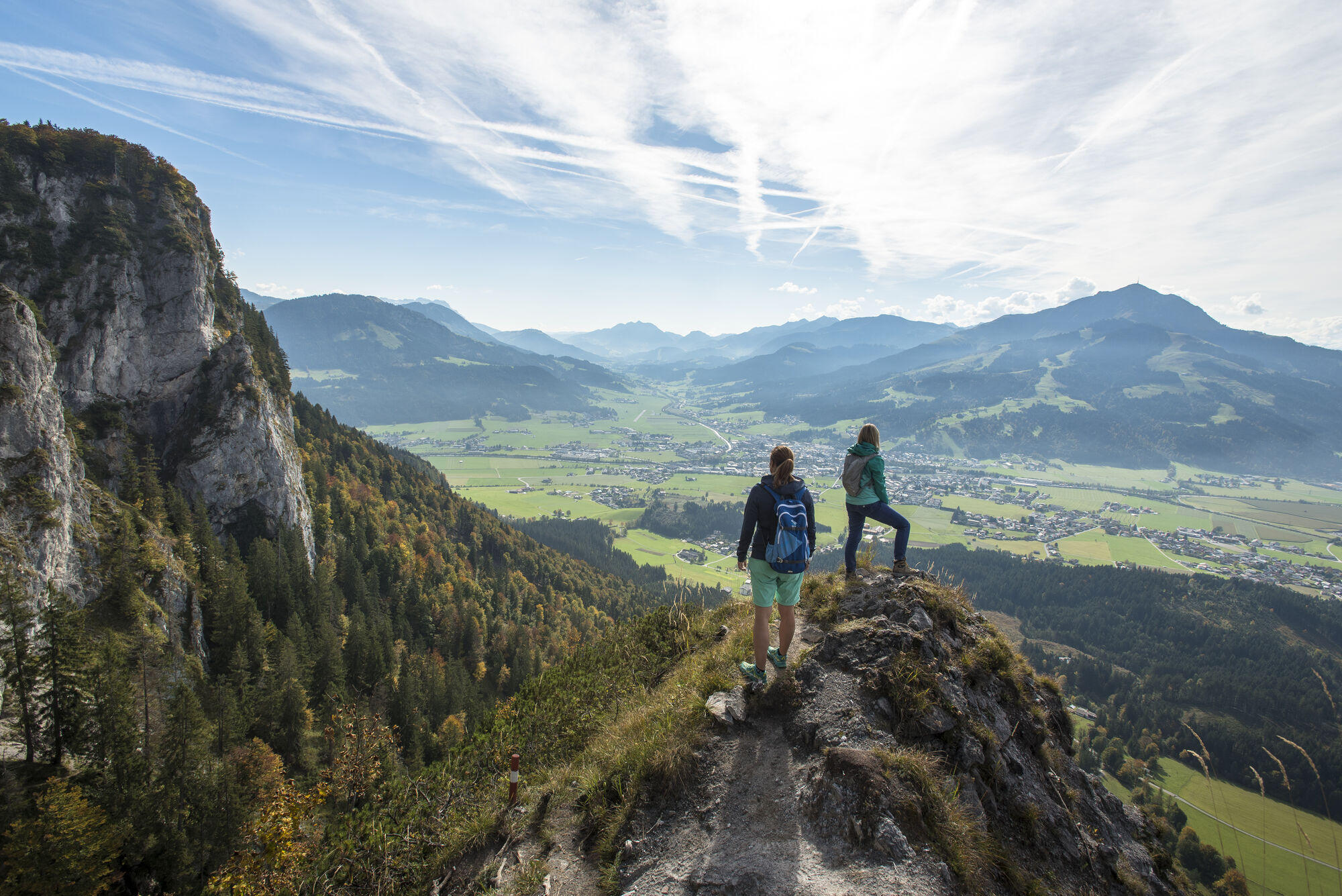
A Long and Demanding Hike that rewards with a Refreshing Waterfall and Superb
Views of the Wilder Kaiser Range - Difficoltà
-
intermedio
- Valutazione
-
- Punto di partenza
-
St. Johann in Tirol Hinterkaiserweg
- Percorso
-
Hinterkaiser0,1 kmBarbara Kapelle0,1 kmSaubühel1,3 kmBurgwies1,3 kmMaria Blut1,6 kmGmailköpfl (917 m)2,0 kmGmailkapelle2,2 kmSchatterberg (1.274 m)3,2 kmUrsulablick (1.196 m)4,0 kmGscheuerkopf (1.280 m)4,6 kmKaiser Niederalm5,9 kmGranderalm (1.269 m)6,7 kmSchleierwasserfall7,8 kmKletterbock9,9 kmMaurer13,4 kmWindhag13,8 kmRummlerhof13,9 kmMarterl14,3 kmHinterkaiser14,7 kmHinterkaiser15,6 kmBarbara Kapelle15,8 km
- La stagione migliore
-
genfebmaraprmaggiulugagosetottnovdic
- Punto più alto
- 1.371 m
- Riposo/Ritiro
-
Rummlerhof
- Cartine
-
In allen Infobüros: St. Johann in Tirol - Oberndorf - Kirchdorf


- Telefono informazioni
-
Tourismusverband Kitzbüheler Alpen St. Johann in Tirol +43 (0)5352 63335-0
- Link
- https://www.kitzbueheler-alpen.com/de/st-johann
- Fonte
- Tourismusverband Kitzbüheler Alpen St. Johann in Tirol
GPS Downloads


Condizioni dei sentieri
Asfalto
Ghiaia
Prato
Foresta
Roccia
Esposta
Altri tour nelle regioni