© Jörg
© Jörg
© Jörg
© Jörg
© Jörg
© Jörg

© Jörg
© Jörg
© Jörg
© Jörg
Dati percorsi
8,73km
1.122
- 1.750m
614hm
614hm
01:30h

- Descrizione rapida
-
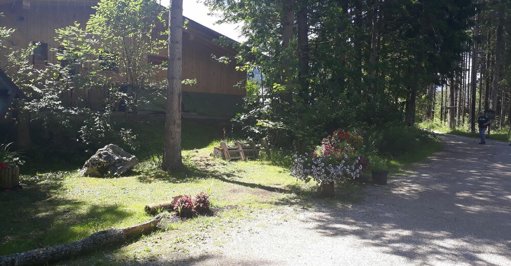
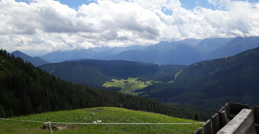
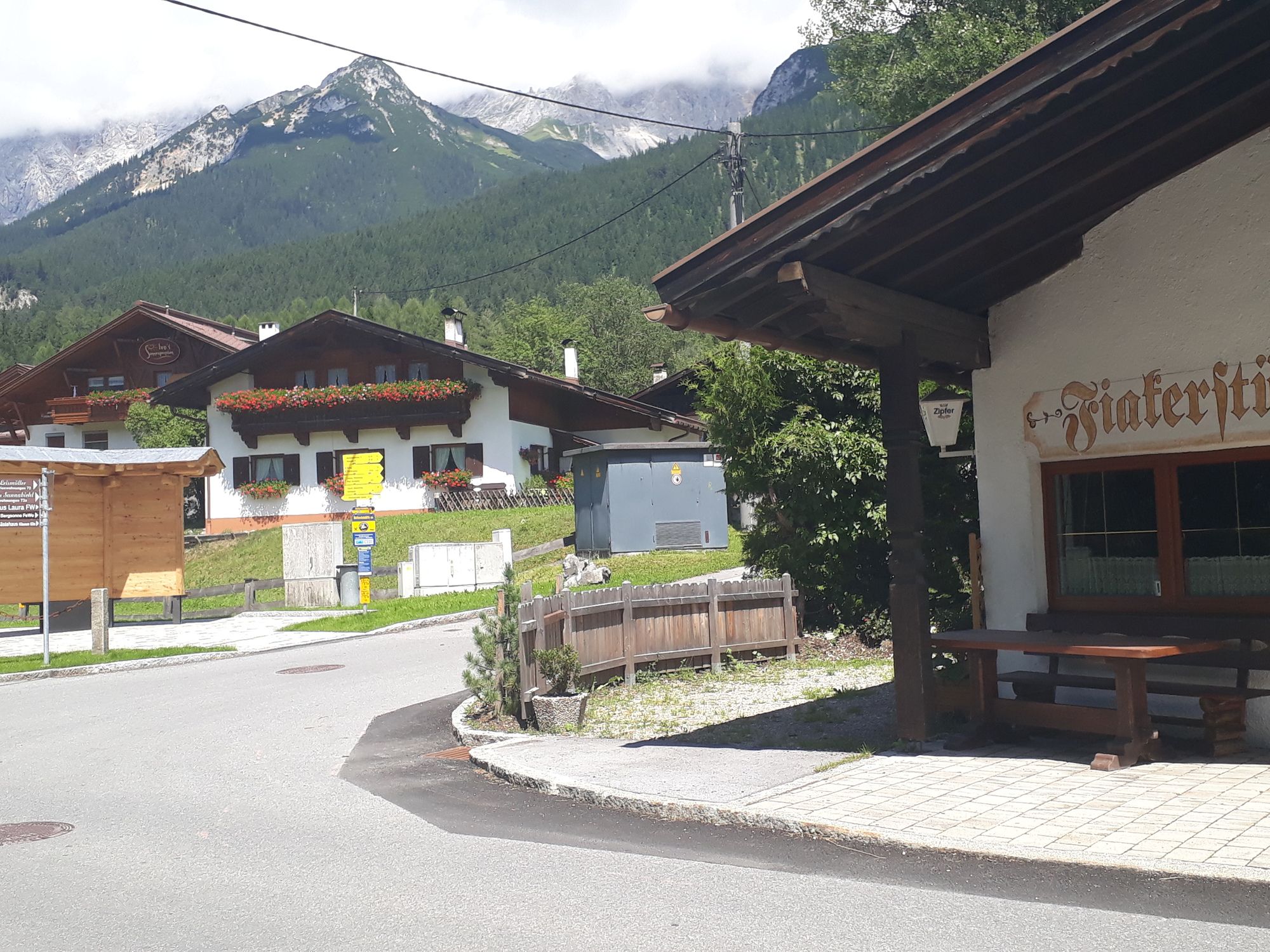
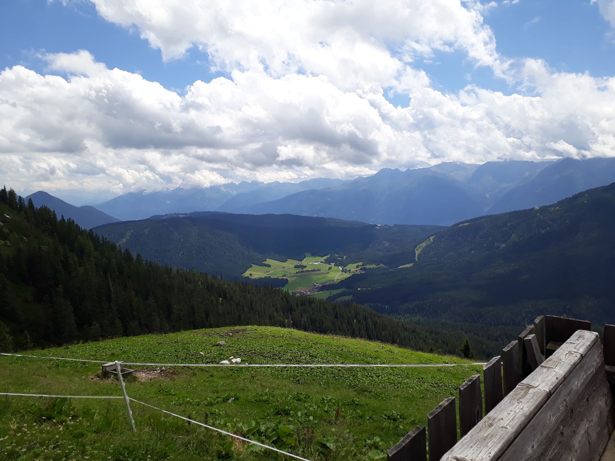
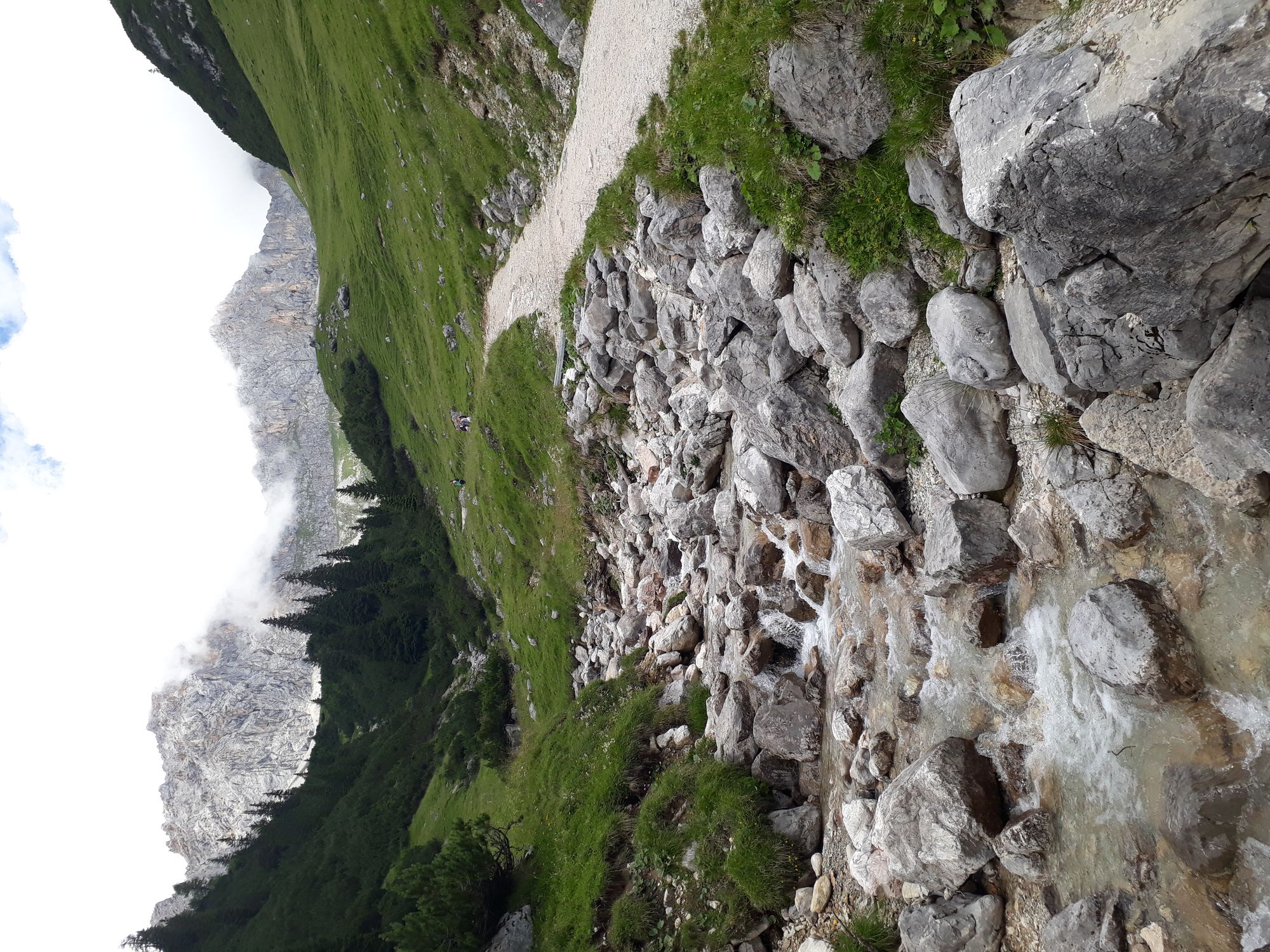
wunderschöner Umgebung mit traumhafter Aussicht auf der Alm
- Difficoltà
-
intermedio
- Valutazione
-
- Punto di partenza
-
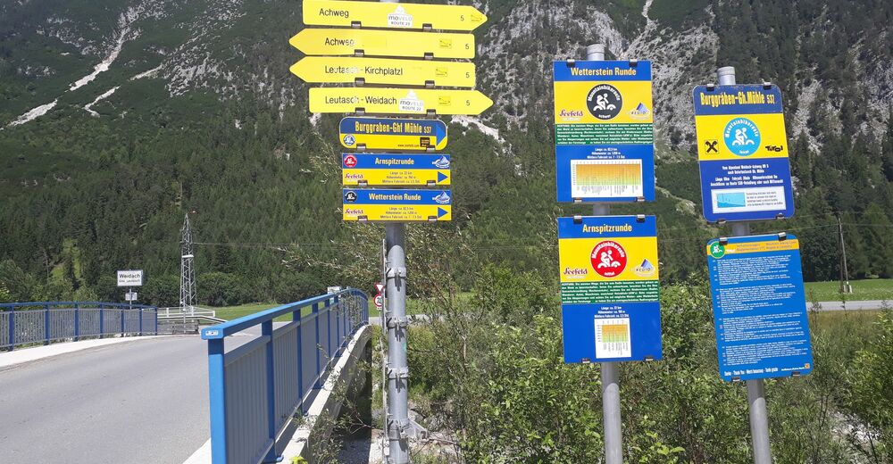
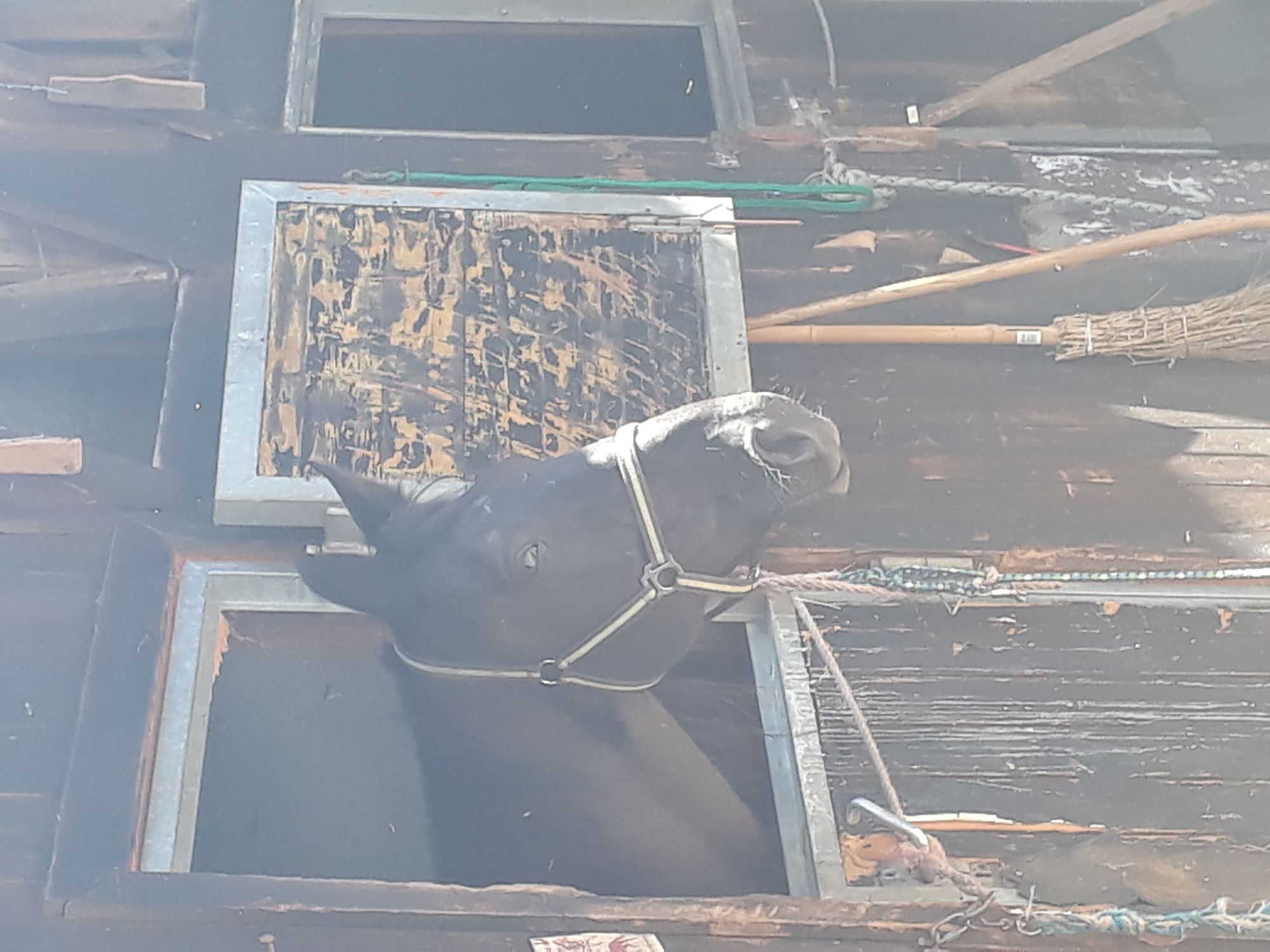
Sportplatz Leutasch, Hallenbad leutasch
- Percorso
-
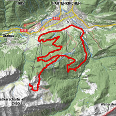
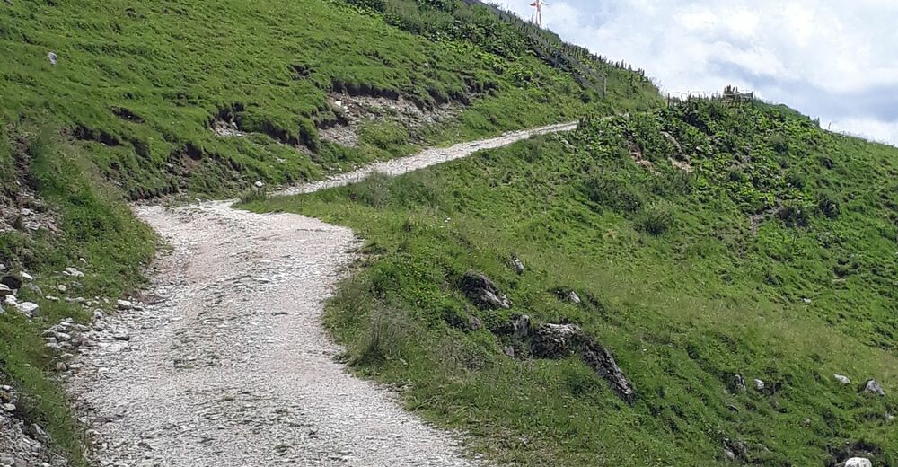
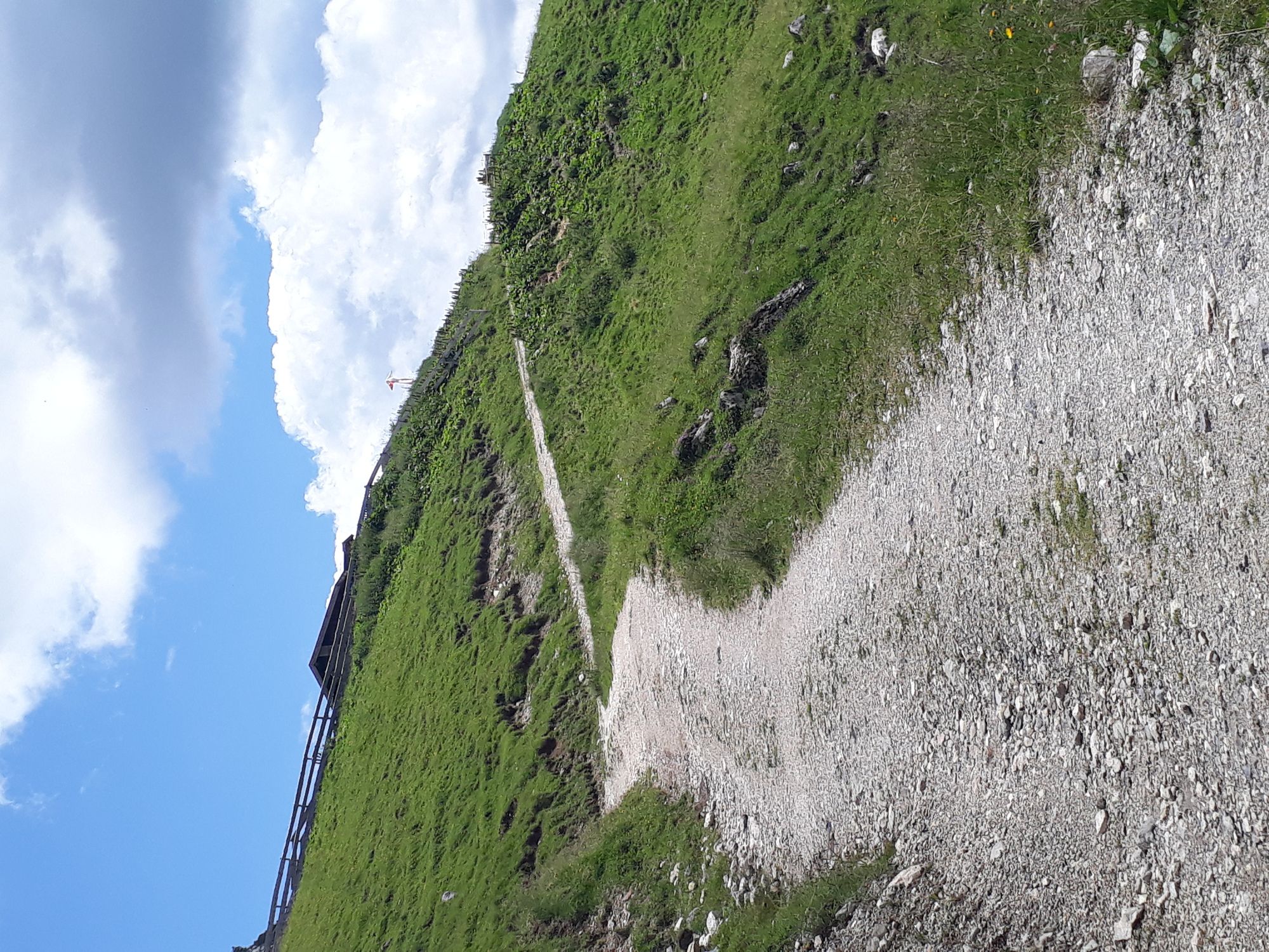
Leutasch (1.136 m)0,7 kmAue1,4 kmPlatzl1,9 kmPlaik2,4 kmObern2,8 kmFiakerstüberl2,9 kmKlamm3,1 kmWangalm8,6 km
- La stagione migliore
-
genfebmaraprmaggiulugagosetottnovdic
- Punto più alto
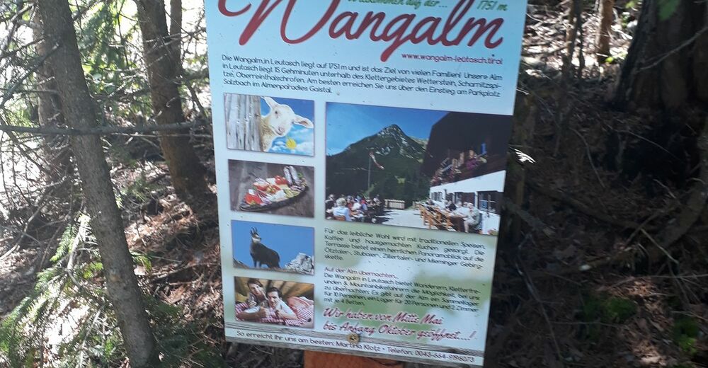
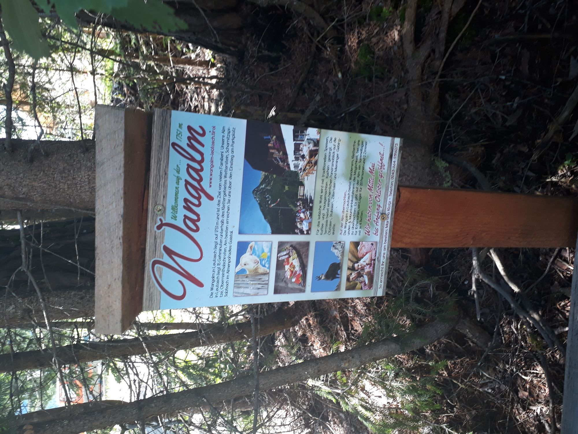
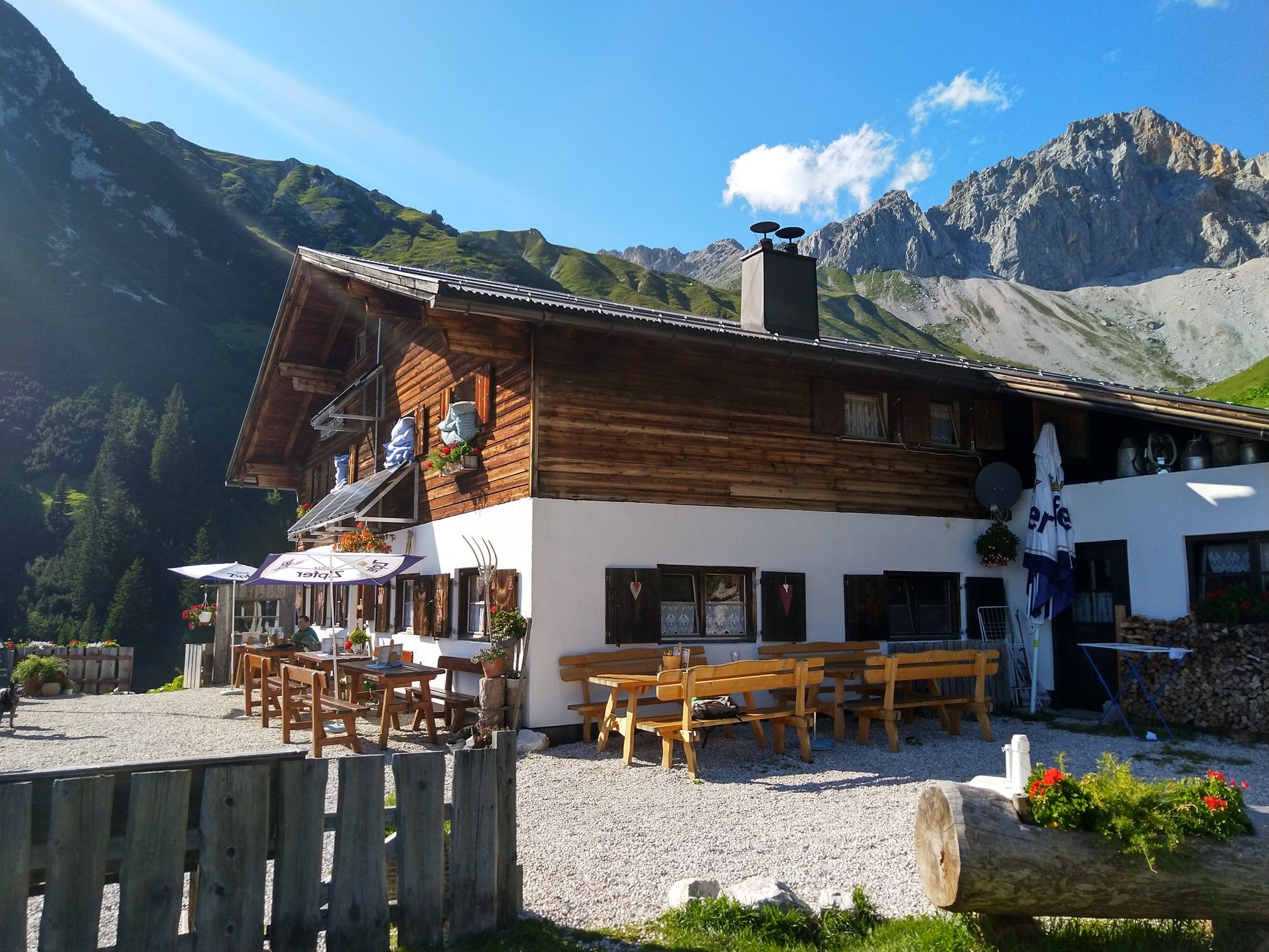
- Wangalm (1.750 m)
- Destinazione
-
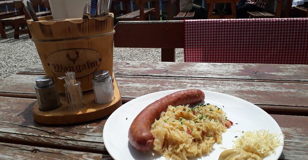
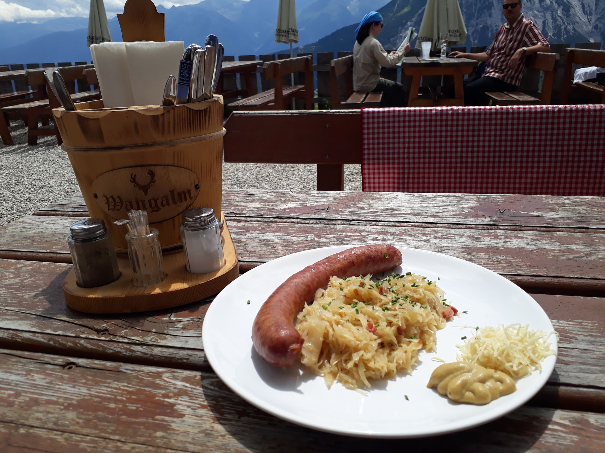
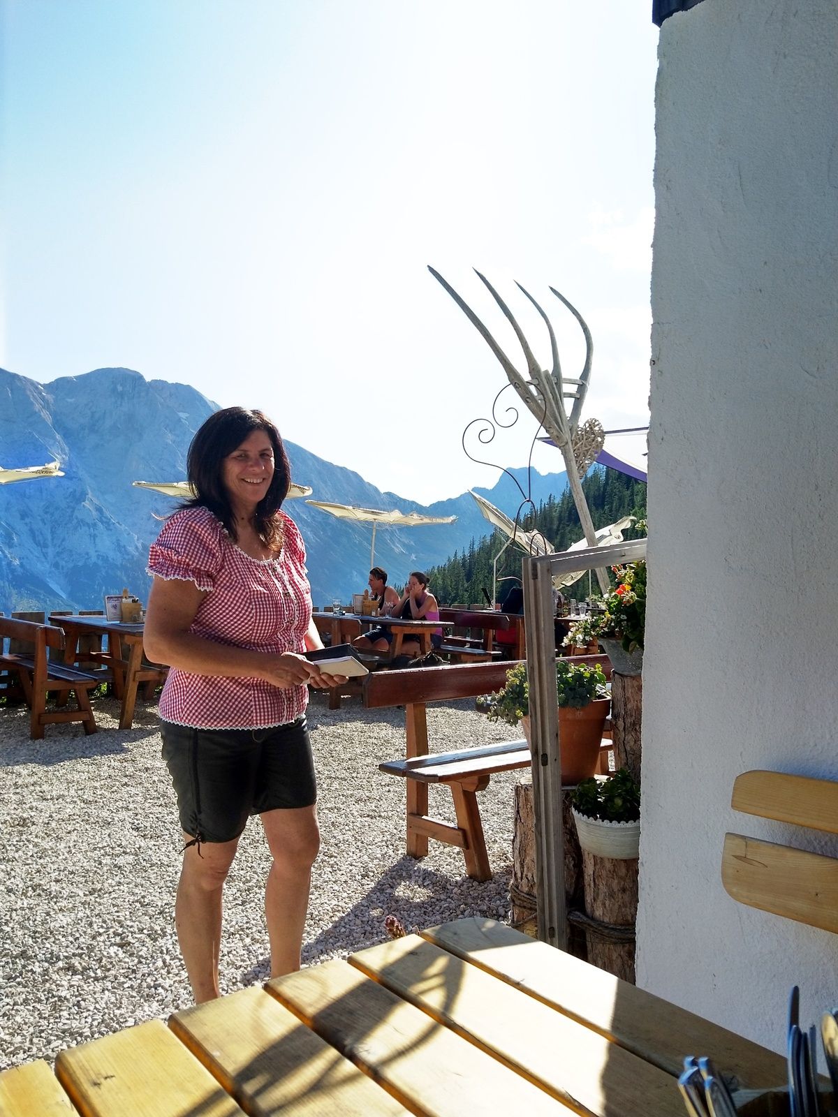
Wangalm
- Riposo/Ritiro
-
Wettersteinhütte
- Informazioni
-
www.wangalm-leutasch.at
- Cartine
-
freytag&berndt WK322


- Telefono informazioni
-
0043664-9196073
- Link
- https://www.facebook.com/EMountainbikeHuettenga...
- Fonte
- Joerg Pircher
GPS Downloads


Percorsi
Asfalto
(5km)
Ghiaia
(12)
Foresta
Vie di montagna
Singletrail
Trial
Traffico
Altri tour nelle regioni