
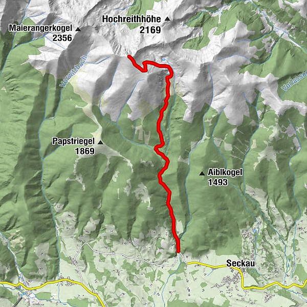
Dati percorsi
9,19km
928
- 2.397m
1.469hm
07:00h
- Descrizione rapida
-
leichte, aber lange Tour
- Valutazione
-
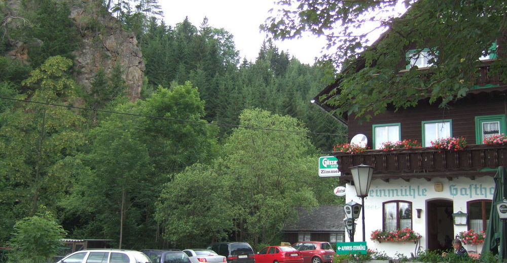
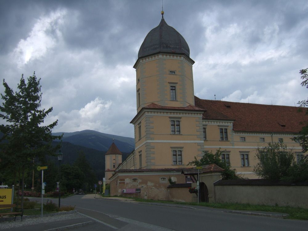
- Punto di partenza
-
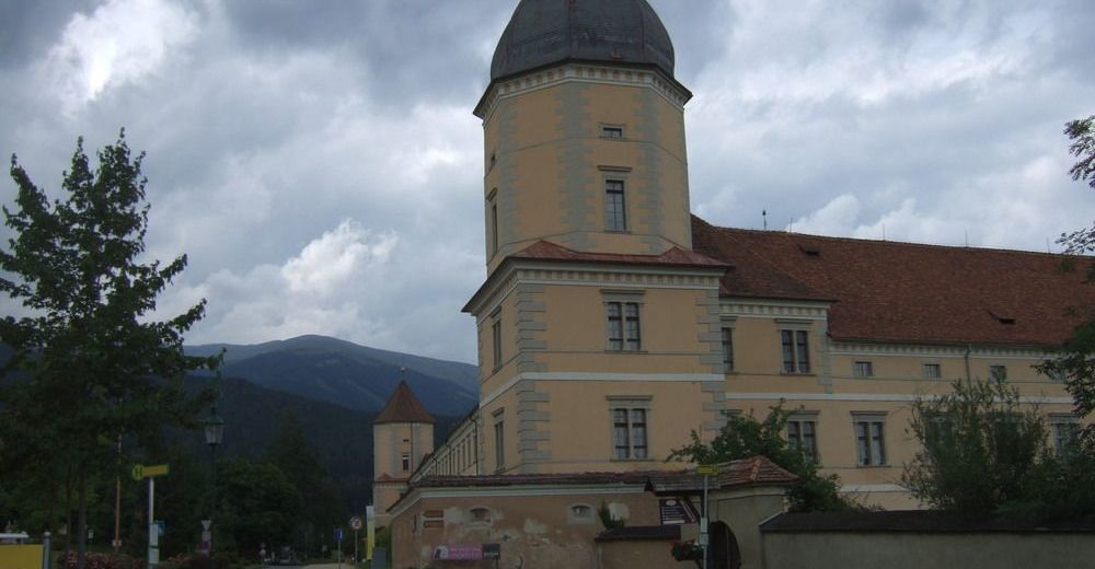
Gasthaus Steinmühle, da sonst nur wenig Parkmöglichkeiten
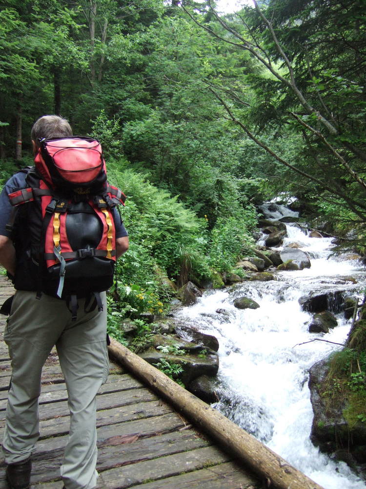
- Percorso
-
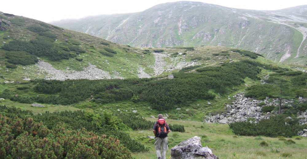
Gasthof Steinmühle0,0 kmSeckauer Zinken (2.397 m)9,1 km
- Punto più alto
- 2.397 m
- Riposo/Ritiro
-
Gasthaus Steinmühle
- Cartine
-
Österr. Karte Nr. 131 Kalwang


GPS Downloads


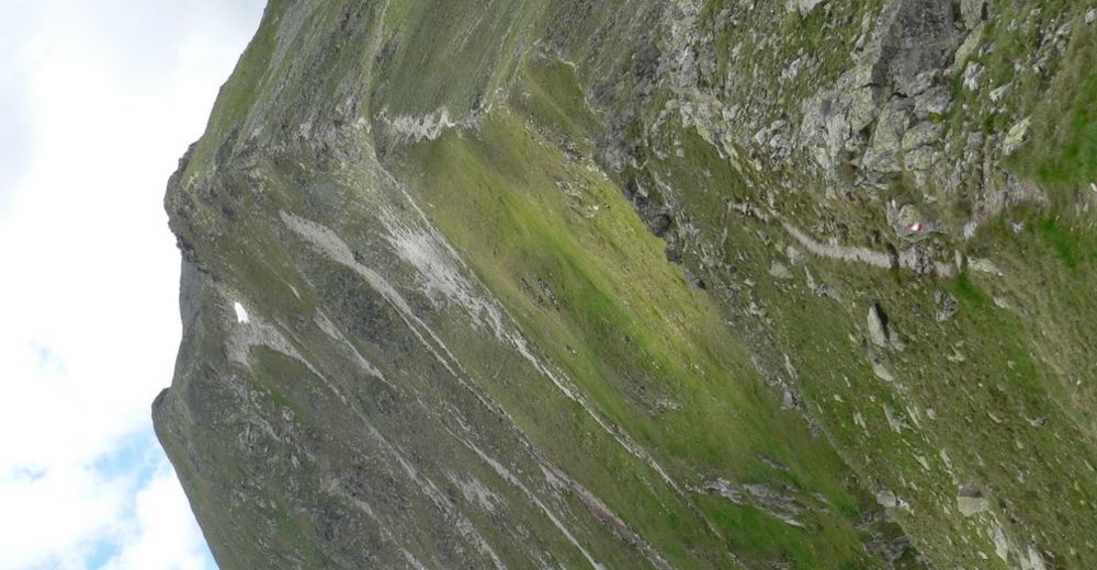
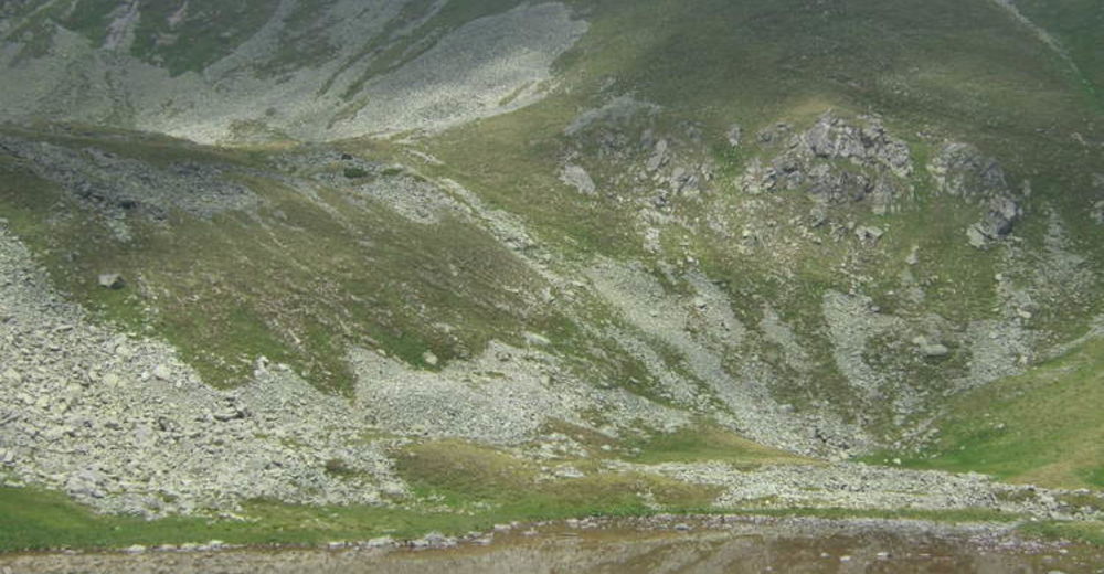
Condizioni dei sentieri
Asfalto
Ghiaia
Prato
Foresta
Roccia
Esposta
Altri tour nelle regioni
-
Erlebnisregion Murtal
1782
-
Seckau
199


