


Dati percorsi
12,2km
650
- 1.696m
1.031hm
1.031hm
05:30h
- Descrizione rapida
-
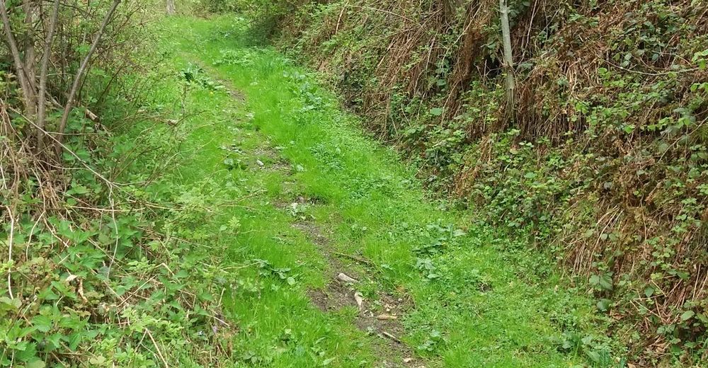
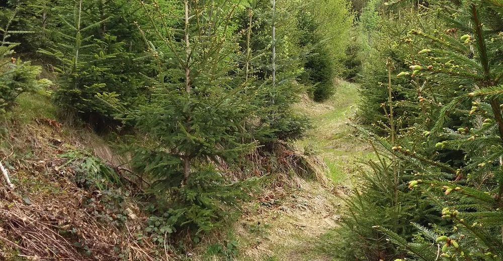
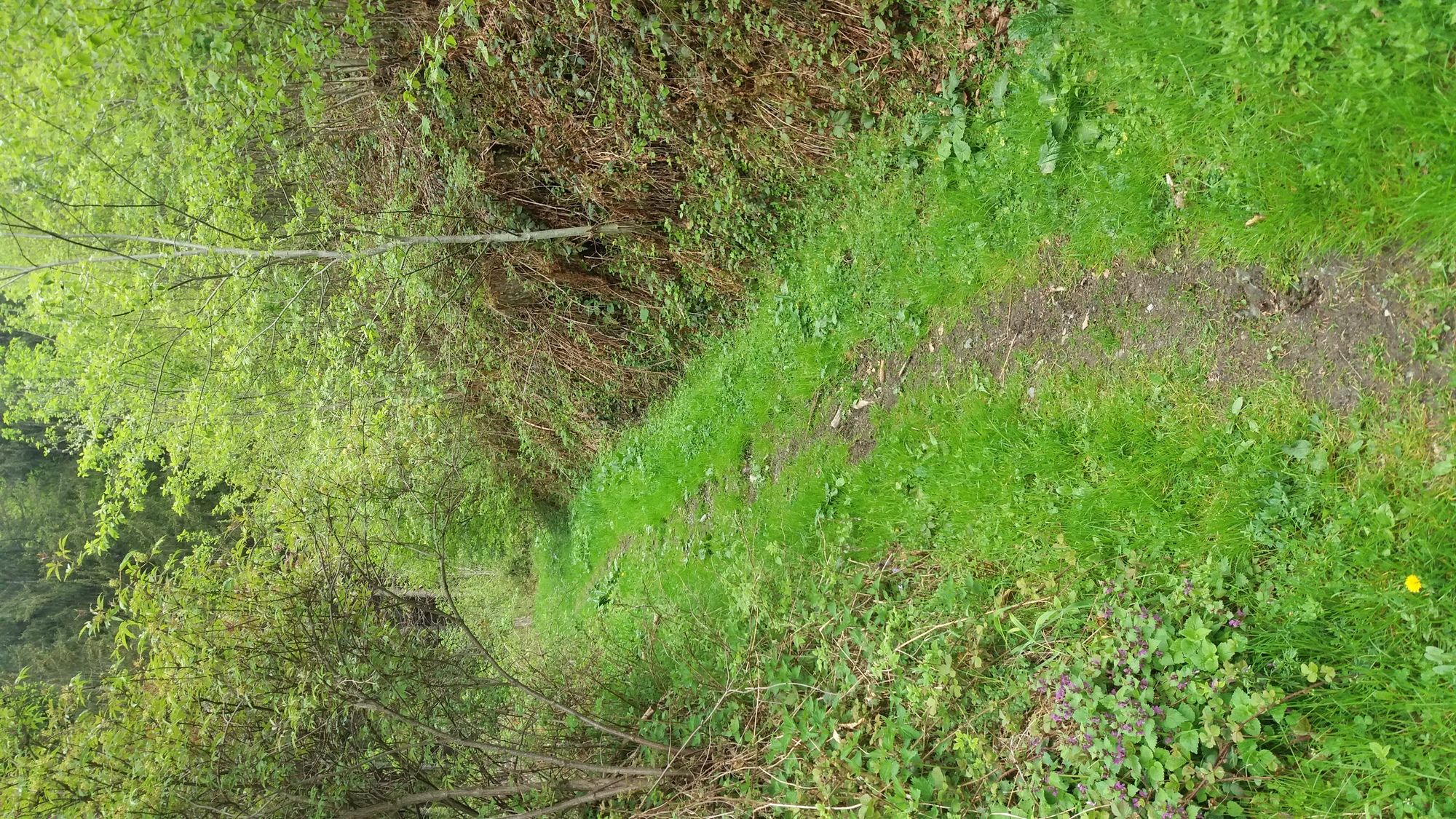
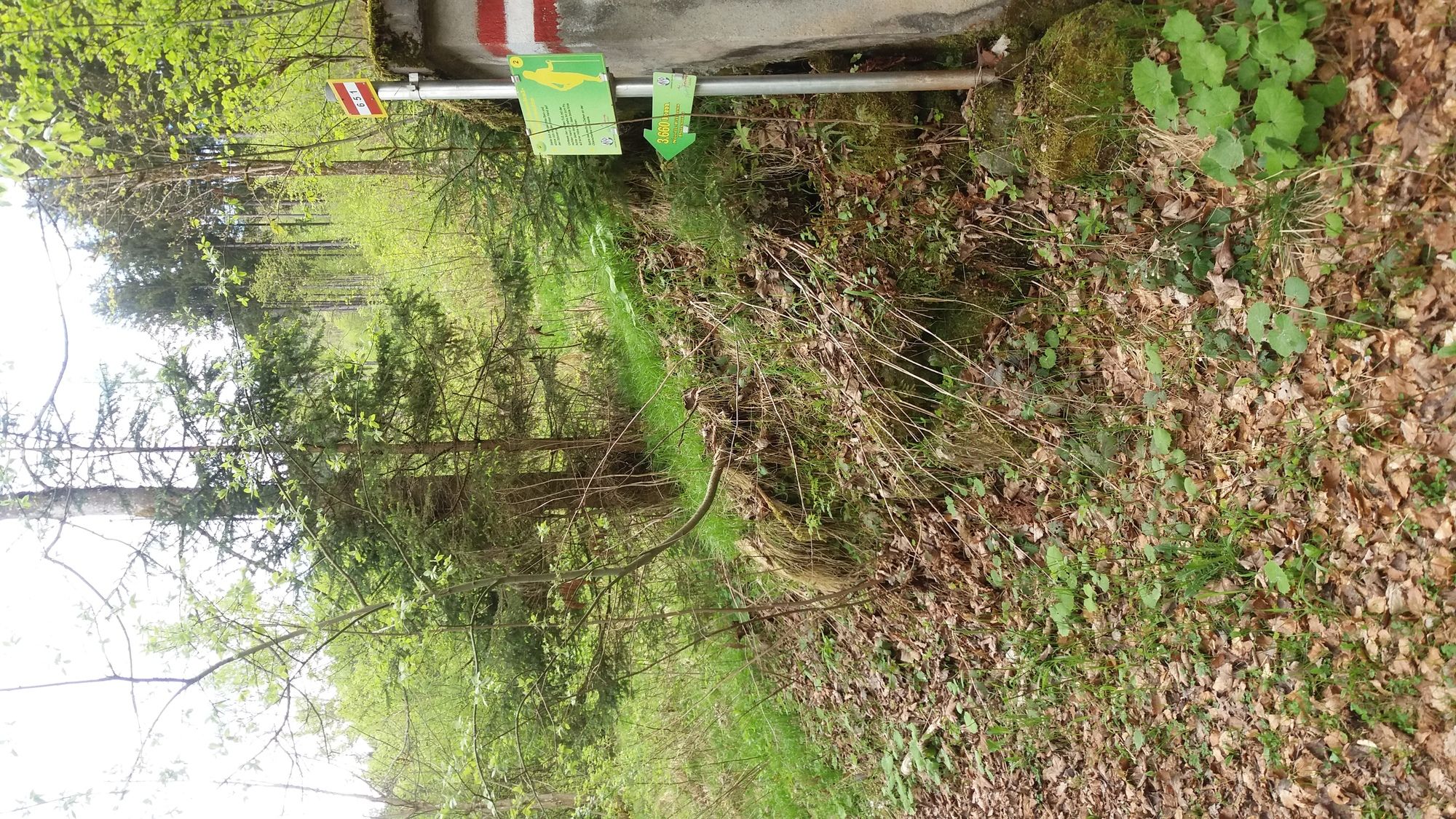
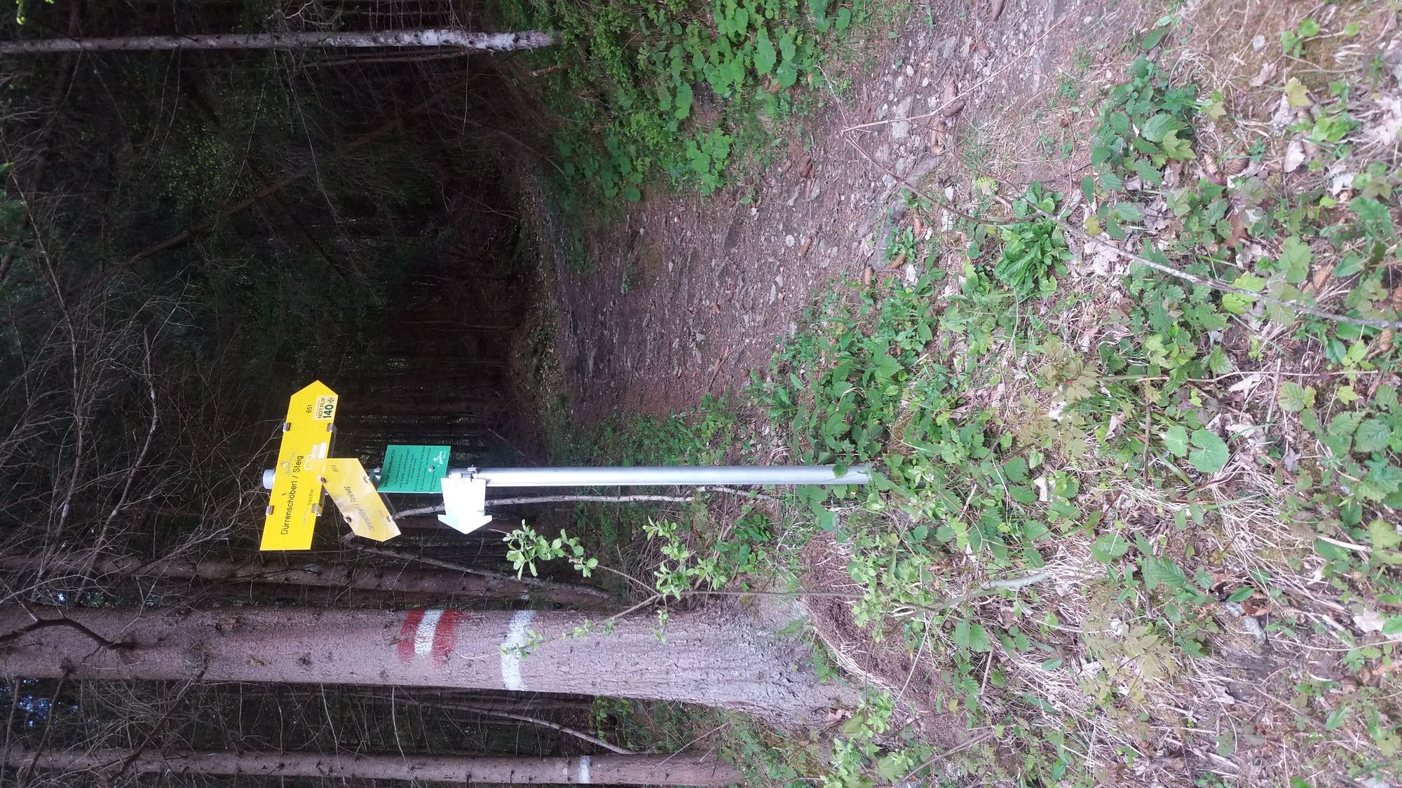
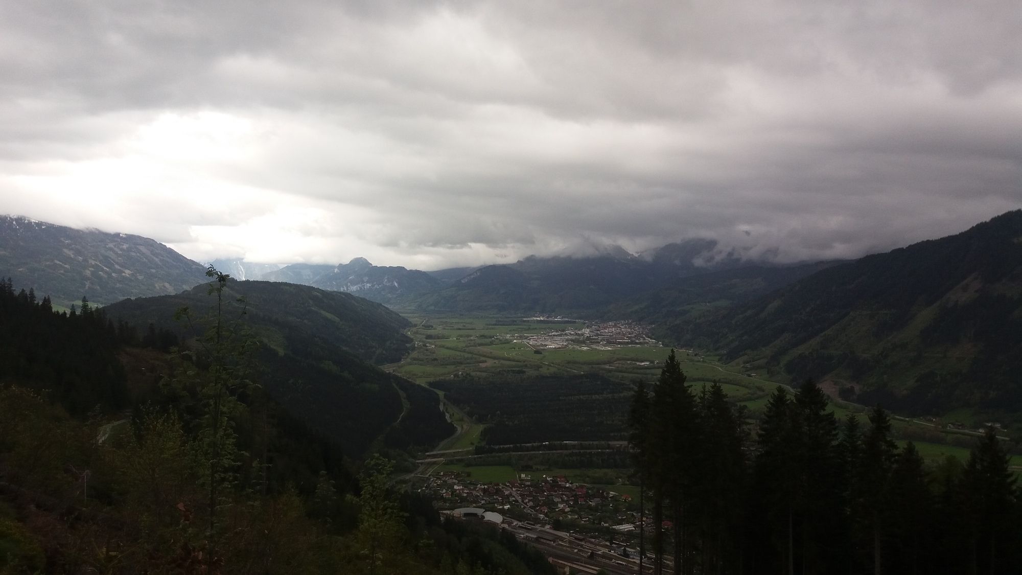
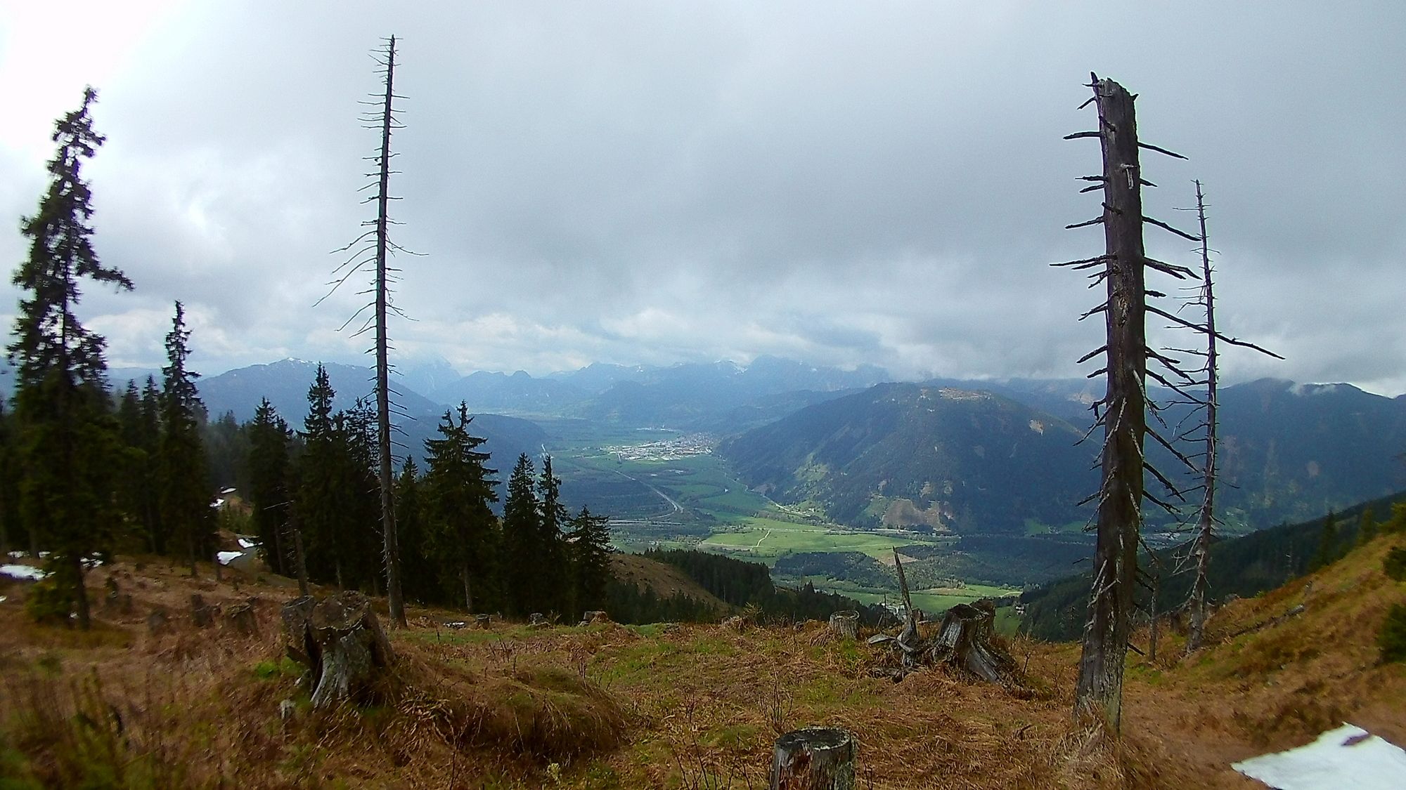
Der Weg auf das Dürrenschöberl von Selzthal aus ist eine Wanderung die gemütlich über Wald- und Forstwege führt und an einem halben Tag absolviert werden kann.
- Difficoltà
-
intermedio
- Valutazione
-
- Punto di partenza
-
gegenüber Gemeindeamt Selzthal nähe Bahnhof
- Percorso
-
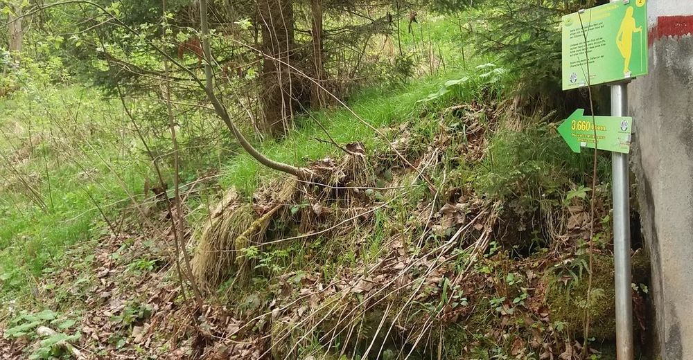
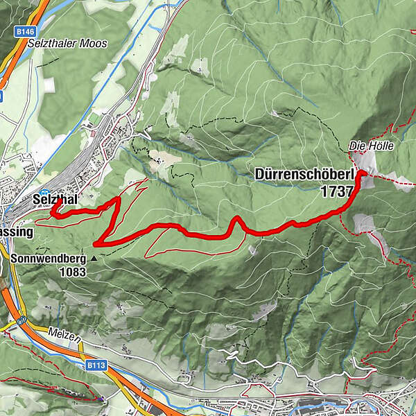
zum schoarf'n eck0,0 kmSelzthal0,1 kmDürrenschöberl (1.737 m)6,1 km
- La stagione migliore
-
genfebmaraprmaggiulugagosetottnovdic
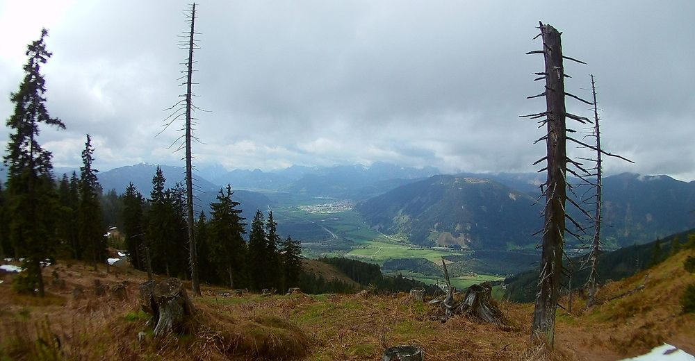
- Punto più alto
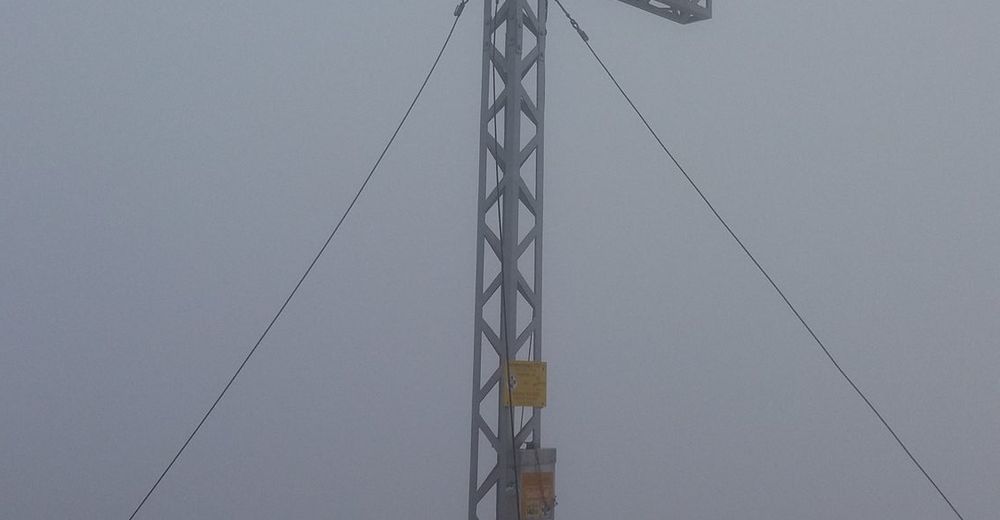
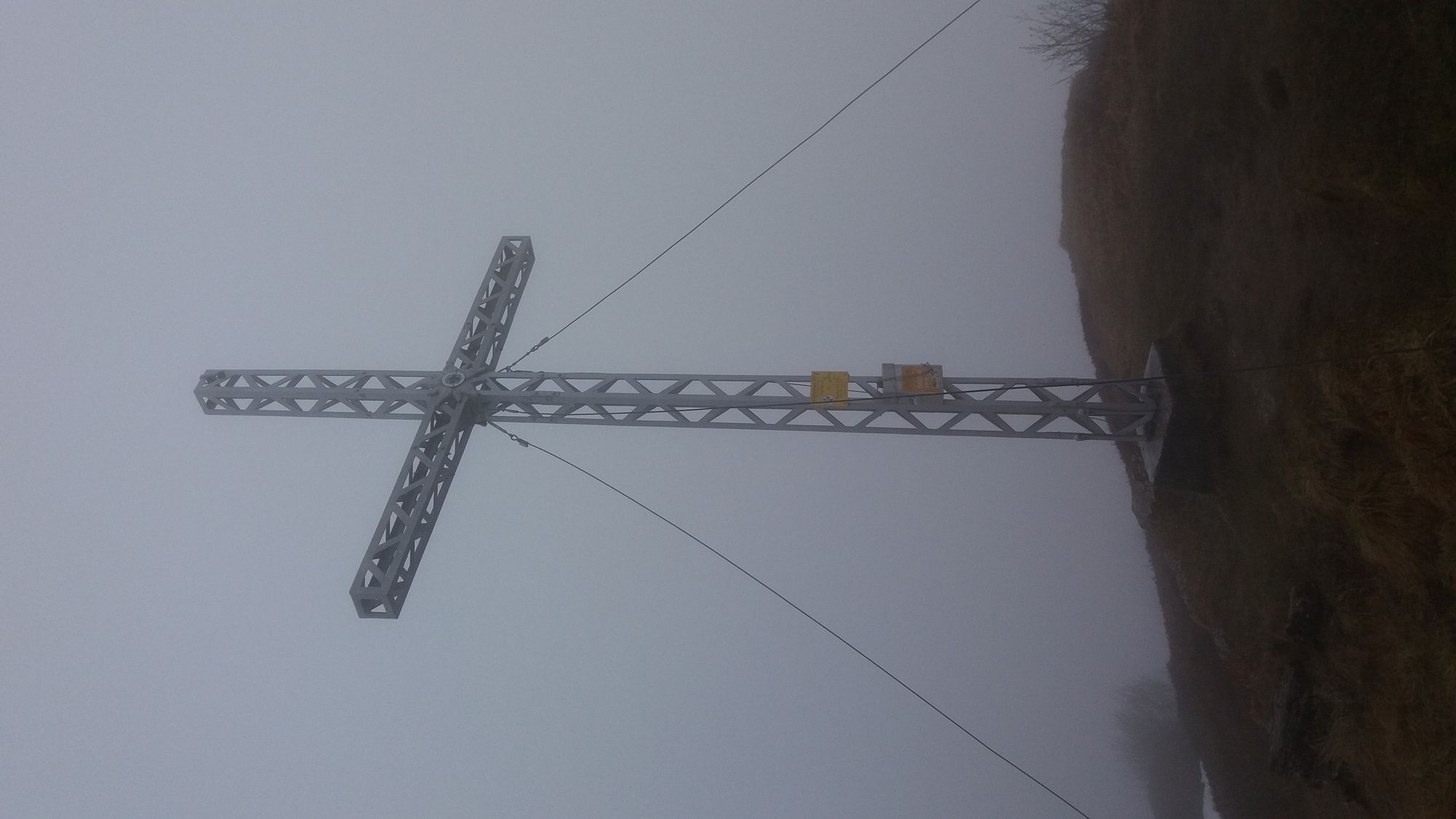
- Dürrenschöberl (1.696 m)
- Destinazione
-
Dürrenschöberl Gipfel
- Cartine
-
Wanderkarte von Vorteil


- Fonte
- Georg Fokter
Tutte le recensioni
Herbert Peinhaupt
11. Apr. 2024
Dürrenschöberl über Selzthal.
An und für sich eine schöne Tour. Diese jedoch als leicht zu bezeichnen liegt nicht im Sinne eines Genuss wanderers. Auch wenn man sportlich ambitioniert ist, ist diese Tour kaum in 11/2 Stunden schaffbar. Das entspräche einer Hm Leistung von 550 in der Stunde und das wiederum entspricht dem Level eines Profis.
Trovi utile questa recensione
Tu e 1 persona ha trovato questa recensione utile
Tu e Le persone trovano questa recensione utile
1 persona ha trovato questa recensione utile
Le persone trovano questa recensione utile
|
GPS Downloads


Condizioni dei sentieri
Asfalto
(0,3km)
Ghiaia
(0,8km)
Prato
Foresta
(80%)
Roccia
Esposta
Altri tour nelle regioni
-
Gesäuse
2225
-
Urlaubsregion Pyhrn - Priel
1440
-
Selzthal
226


