

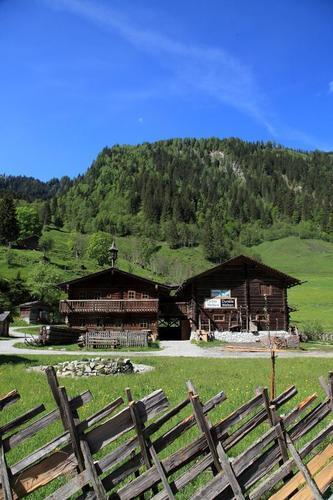
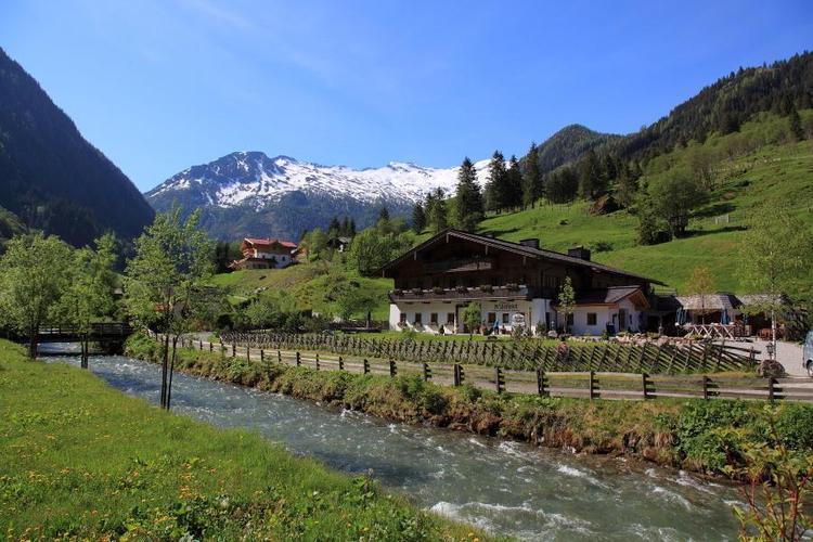
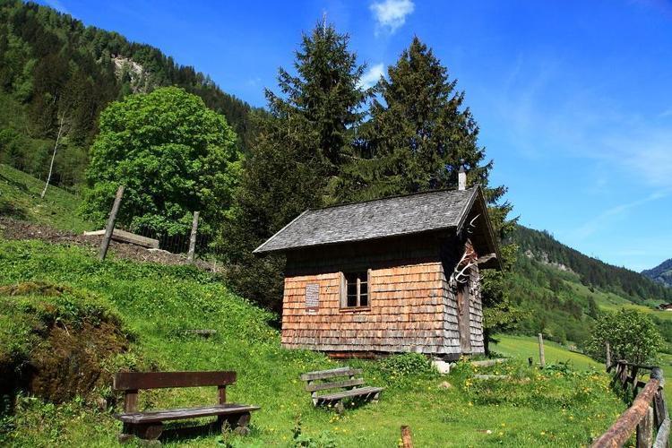
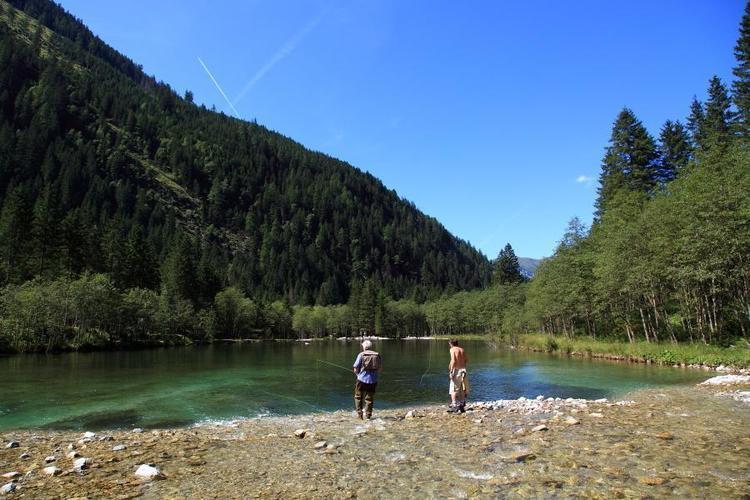
© Pongau

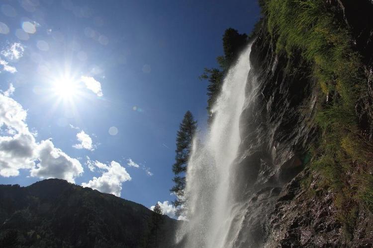
© Pongau

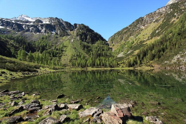
© Pongau

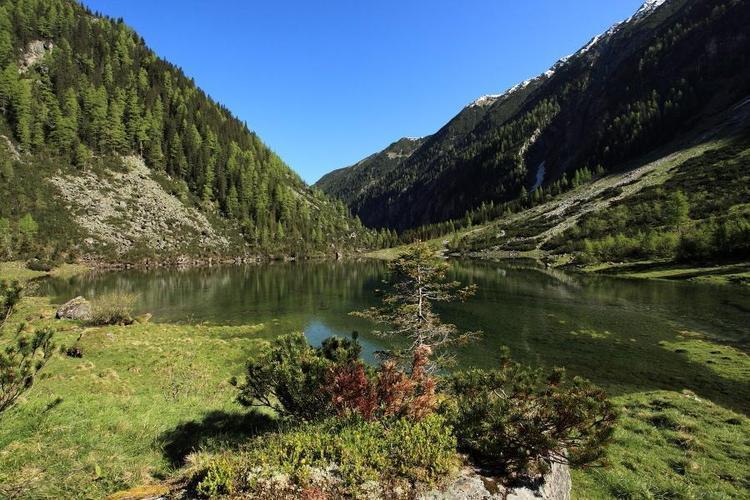
© Pongau

© Pongau

© Pongau

© Pongau
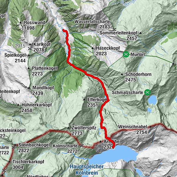
Dati percorsi
19,7km
1.037
- 2.260m
1.557hm
1.547hm
08:00h
- Valutazione
-
- Percorso
-
Arlscharte (2.252 m)8,9 km
- Punto più alto
- 2.260 m
- Profilo altimetrico
-


- Autore
-
PongauIl tour Arlscharte-Kölnbreinspeicher è utilizzato da outdooractive.com fornito.
GPS Downloads


Altri tour nelle regioni
-
Katschberg Lieser-Maltatal
2574
-
Großarltal
2171
-
Hüttschlag
852


