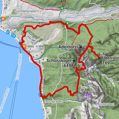


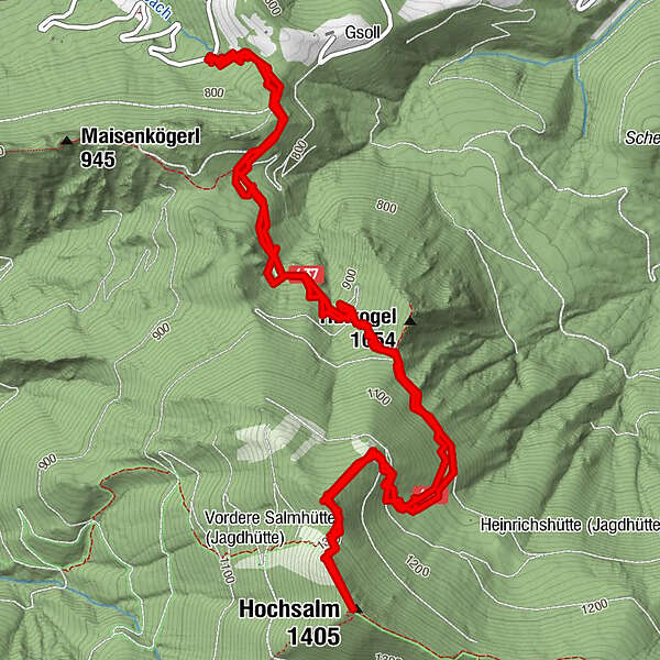
Dati percorsi
8,7km
762
- 1.375m
629hm
622hm
03:00h
- Descrizione rapida
-
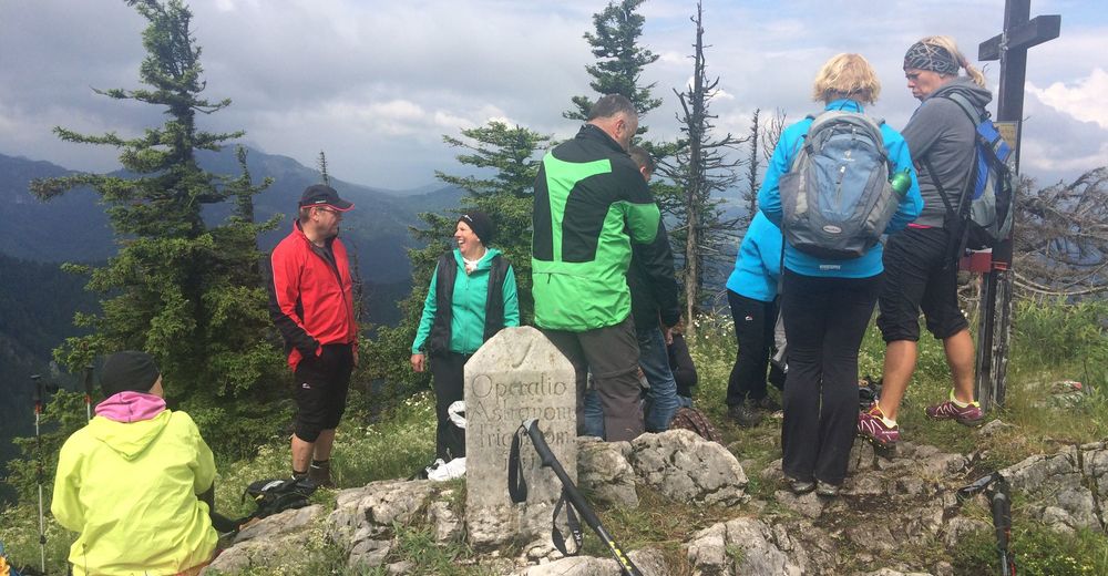
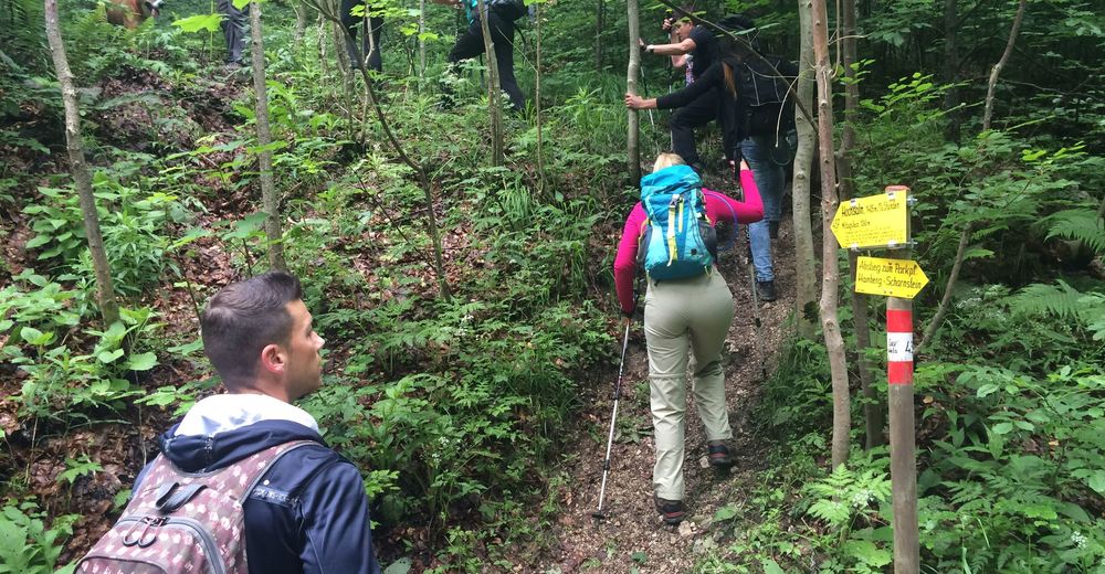
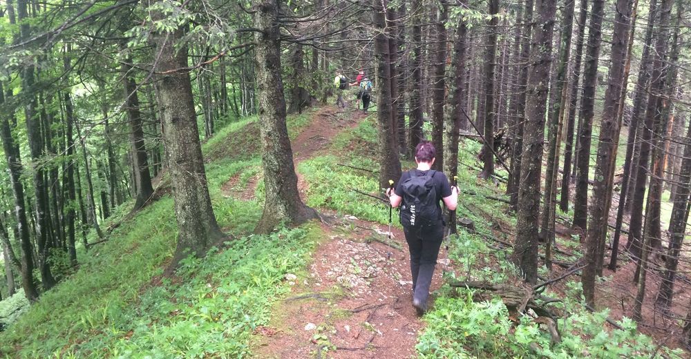
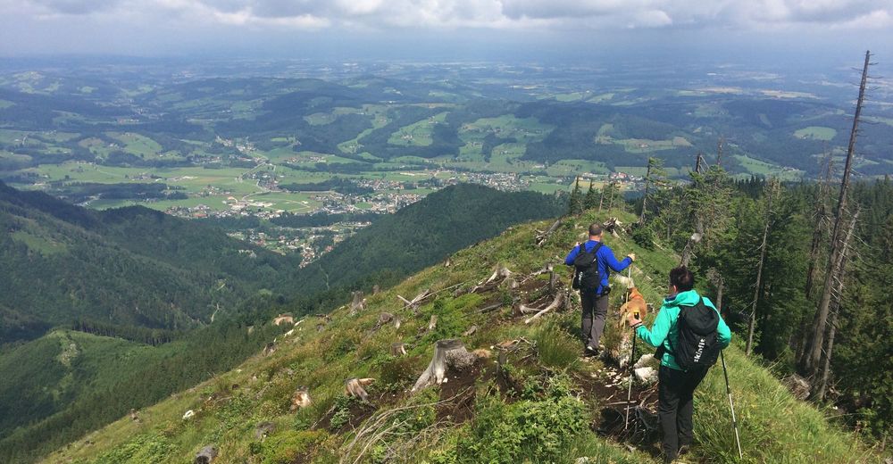
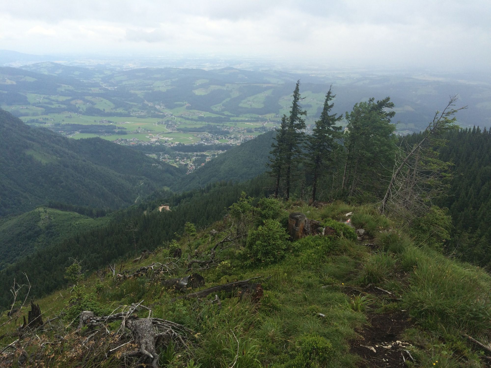
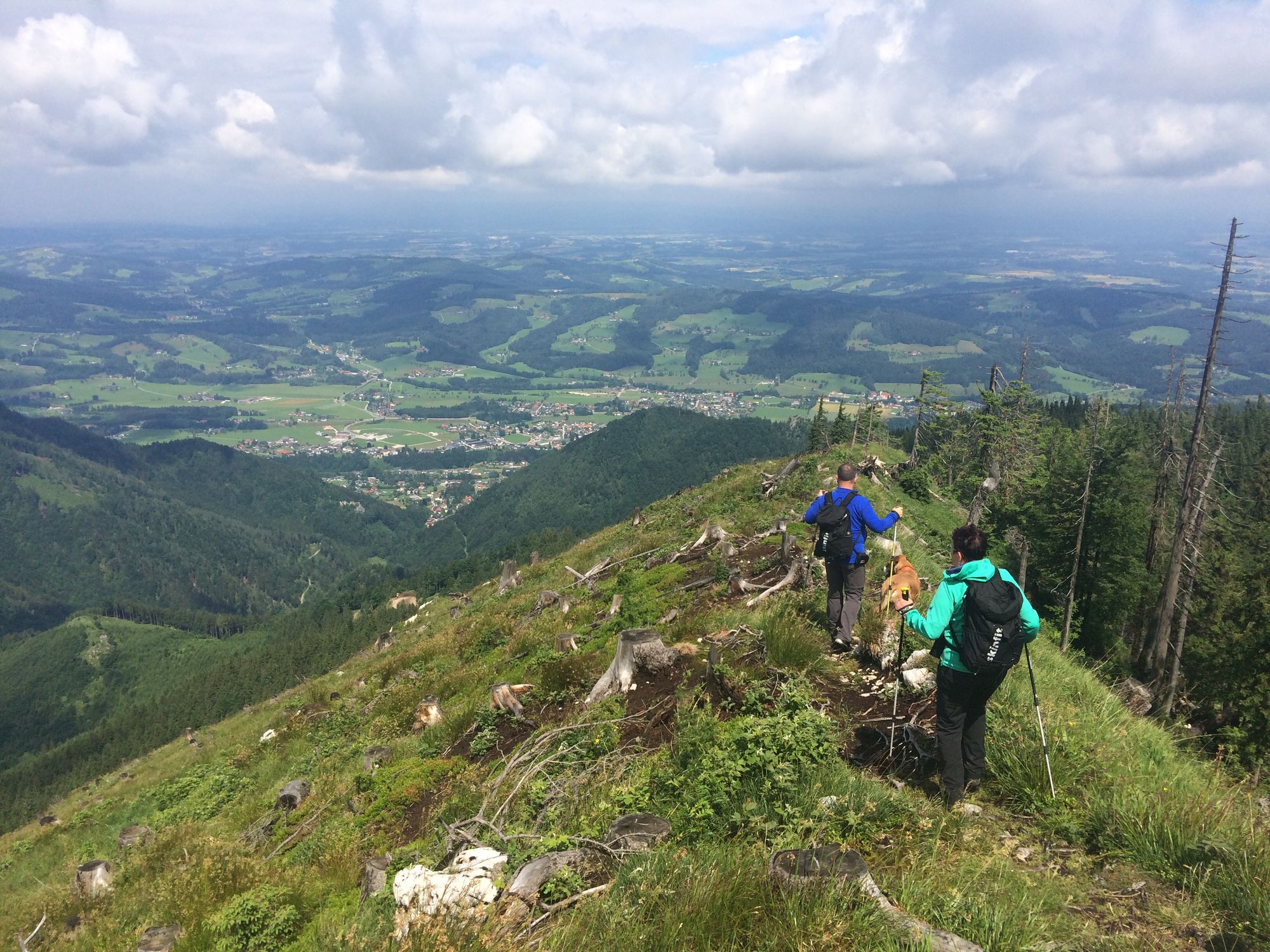
schöne Waldwanderung mit etwas steileren Passagen durch den Wald und doch wieder entlang der Forststrasse, den Kamm entlang zum Gipfelkreuz.
- Difficoltà
-
intermedio
- Valutazione
-
- Percorso
-
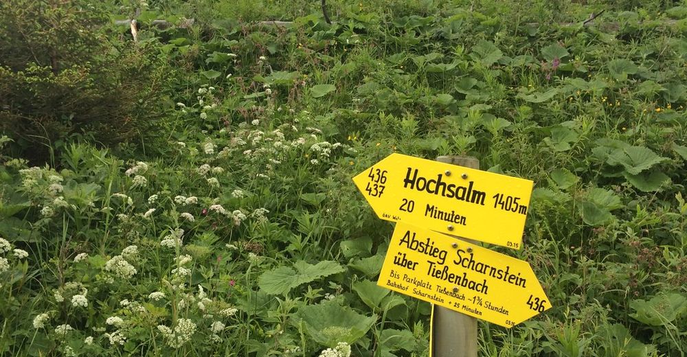
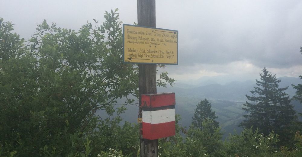
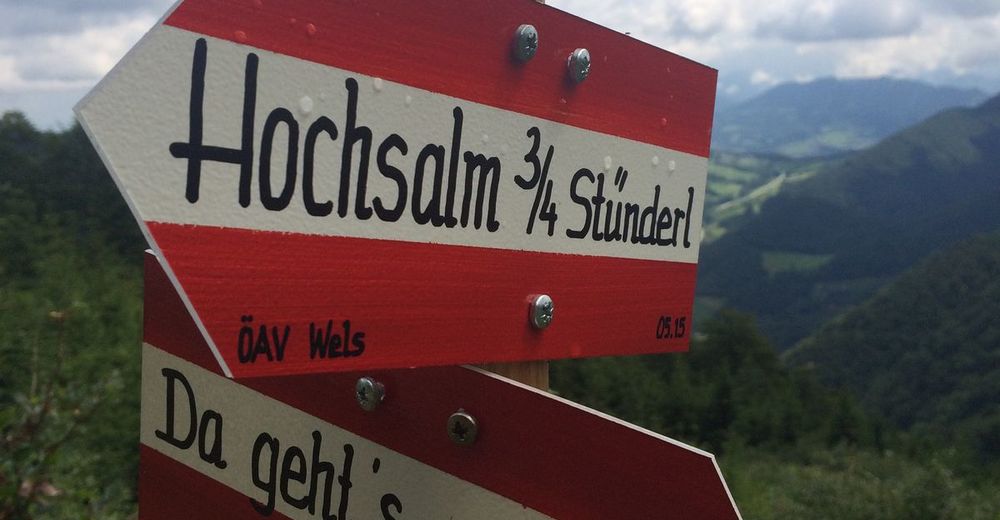
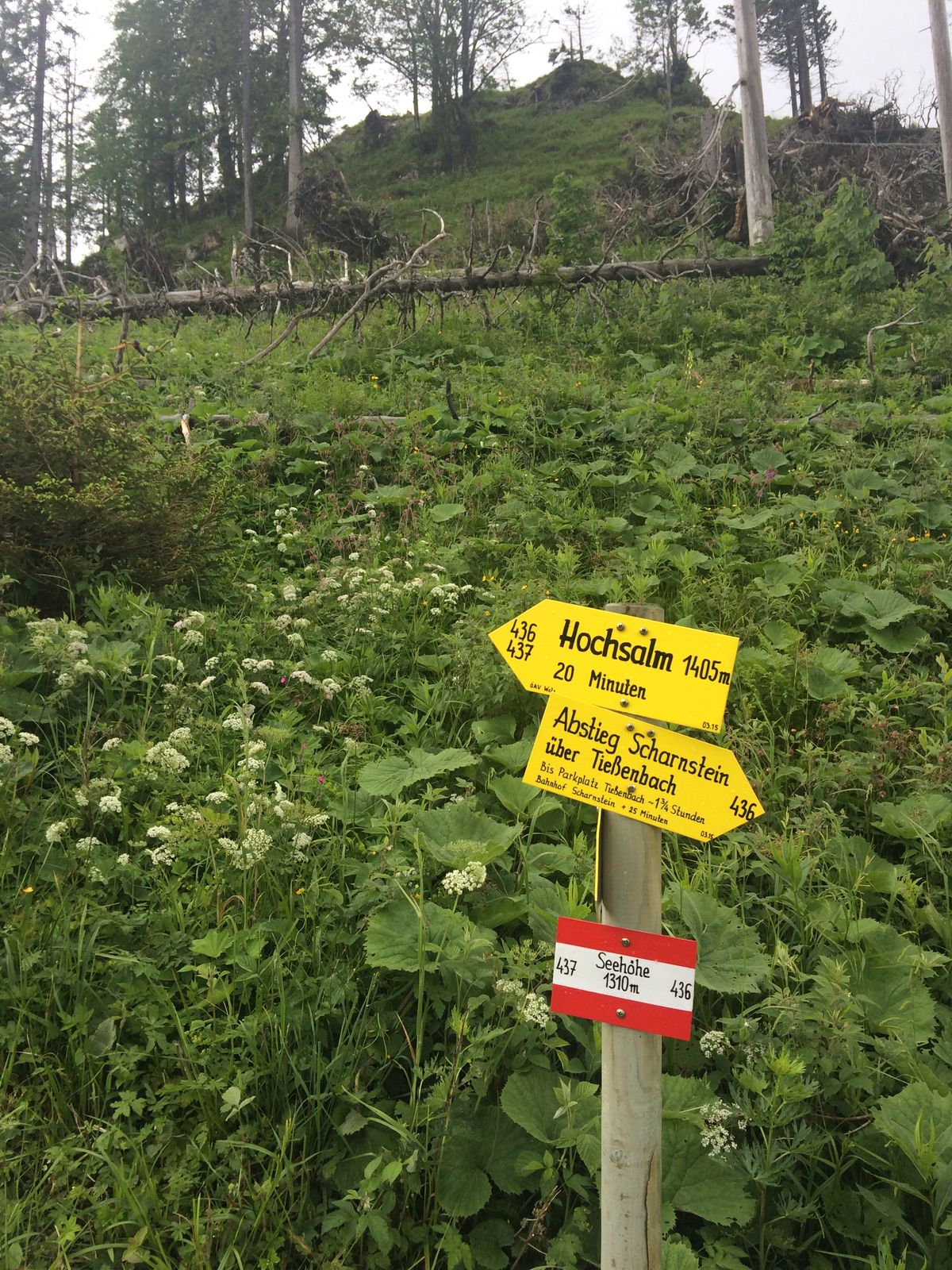
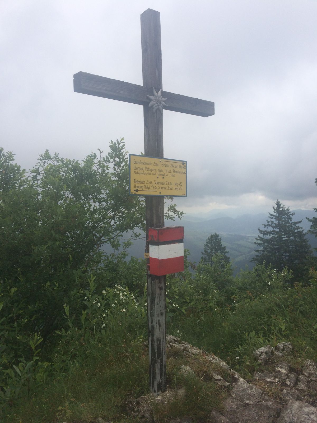
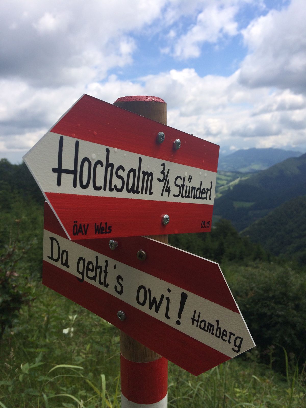
Hochsalm (1.405 m)4,4 km
- La stagione migliore
-
genfebmaraprmaggiulugagosetottnovdic
- Punto più alto
- 1.375 m
- Riposo/Ritiro
-
keine


- Fonte
- GJ
GPS Downloads


Condizioni dei sentieri
Asfalto
Ghiaia
Prato
Foresta
Roccia
Esposta
Altri tour nelle regioni
-
Traunviertel
1940
-
Traunsee-Almtal
910
-
Scharnstein im Almtal
248